|
The village of Champfleur is a small french village located north west of France. The town of Champfleur is located in the department of Sarthe of the french region Pays de la Loire. The town of Champfleur is located in the township of Saint-Paterne part of the district of Mamers. The area code for Champfleur is 72056 (also known as code INSEE), and the Champfleur zip code is 72610.
Geography and map of Champfleur :
The altitude of the city hall of Champfleur is approximately 146 meters. The Champfleur surface is 13.14 km ². The latitude and longitude of Champfleur are 48.385 degrees North and 0.127 degrees East.
Nearby cities and towns of Champfleur are :
Arçonnay (72610) at 3.20 km, Saint-Rigomer-des-Bois (72610) at 3.25 km, Saint-Paterne (72610) at 3.47 km, Chérisay (72610) at 3.62 km, Béthon (72610) at 4.13 km, Ancinnes (72610) at 4.31 km, Bourg-le-Roi (72610) at 4.36 km, Oisseau-le-Petit (72610) at 5.04 km.
(The distances to these nearby towns of Champfleur are calculated as the crow flies)
Population and housing of Champfleur :
The population of Champfleur was 1 118 in 1999, 1 342 in 2006 and 1 373 in 2007. The population density of Champfleur is 104.49 inhabitants per km². The number of housing of Champfleur was 523 in 2007. These homes of Champfleur consist of 498 main residences, 6 second or occasional homes and 19 vacant homes. |
|
|
Hotel Champfleur
|
|
|
Book now ! Best Price Guaranteed, no booking fees, pay at the hotel with our partner Booking.com, leader in online hotel reservation.
Find all hotels of Champfleur : Hotel Champfleur
| |
|
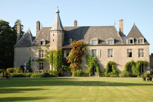
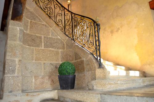
Hotel : Château de Saint Paterne

This beautiful castle set in the heart of a 25-acre park blends the pleasures of a Renaissance château with the comfort of a boutique hotel and was once a hideaway for Henry IV....
Address : Rue de la Gaieté 72610 Saint-Paterne
Distance Hotel - Champfleur : 3.42 km
|
|
|
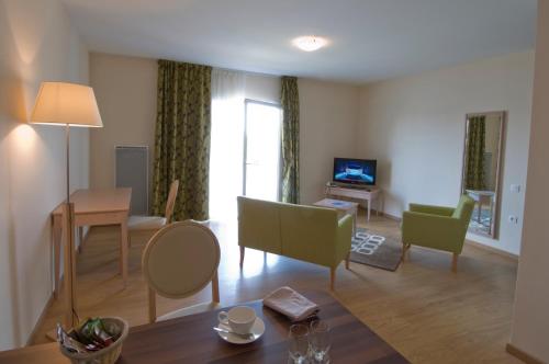
Guest accommodation : Domitys Le Jardin des Lys
Located in Alençon, just next to the River Sarthe and a 30-minute drive from Le Mans racing track, Domitys Le Jardin des Lys offers residence accommodation for senior guests. Th...
Price : from 110.00 €
Contact : 21 avenue Jean Mantelet 61000 Alençon
Distance Guest accommodation - Champfleur : 4.16 km
|
|
|
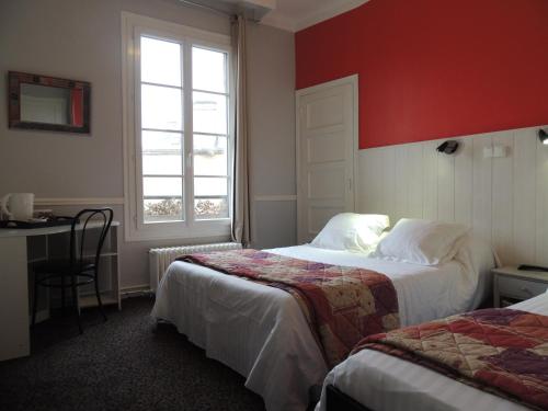
Hotel : Hotel de Paris
Facing Alençon Train Station and located 1 km from Basilique Notre-Dame d’Alençon, Hotel de Paris offers a bar and a common living area with a piano and newspapers. Free Wi-Fi a...
Prices : from 43.00 €
to 48.00 €
Contact : 26 rue Denis Papin 61000 Alençon
Distance Hotel - Champfleur : 5.80 km
|
|
|
Located in front of Alençon Train Station, this hotel features individually decorated rooms with free WiFi and a LCD TV. A large garden with garden furniture and a free private ...
Rate : from 72.00 €
to 108.00 €
Contact : 50 avenue Wilson 61000 Alençon
Distance Hotel - Champfleur : 5.81 km
|
|
|
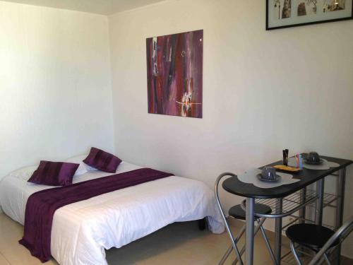
Guest accommodation : La chambre d'Alencon
Set in Alençon, within 100 metres of Halle au Blé, La chambre d'Alencon is a homestay offering city views. Guests staying at this homestay have access to free WiFi and a terrace...
Price : from 85.00 €
Address : 1 Rue du Cygne 61000 Alençon
Distance Guest accommodation - Champfleur : 5.90 km
|
|
|
Hotel : Hôtel Le Hussard
Located in the centre of Alençon, Hôtel Restaurant Le Hussard is 8 km from the A28 motorway and 700 metres from Notre-Dame Basilica. It offers free Wi-Fi, a bar and a terrace. ...
Prices : from 56.00 €
to 86.00 €
Contact : 20, place du Général de Gaulle 61000 Alençon
Distance Hotel - Champfleur : 5.91 km
|
|

|
Located in Alençon city centre, Hôtel ibis Alençon offers a 24-hour front desk, luggage room and free WiFi access. Château des Ducs d’Alençon is just a 10-minute walk from the h...
Rate : from 61.00 €
to 105.80 €
Contact : 13 place Poulet Malassis 61000 Alençon
Distance Hotel - Champfleur : 5.94 km
|
|
|
Guest accommodation : Alencimmo
Alencimmo studios are located just a 10-minute walk from both Alençon city centre and the train station. Each studio has a private bathroom with a shower and free toiletries, a...
Price : from 55.00 €
to 90.00 €
Contact : 5, rue de la pyramide 61000 Alençon
Distance Guest accommodation - Champfleur : 6.00 km
|
|
|
Le Chapeau Rouge is located in Alençon, a 6-minute drive from the train station. The hotel offers a garden and a shared lounge with TV. Free Wi-Fi access is available throughout...
Prices : from 59.00 €
to 154.00 €
Address : 3 Boulevard Duchamp 61000 Alençon
Distance Hotel - Champfleur : 6.47 km
|
|
|
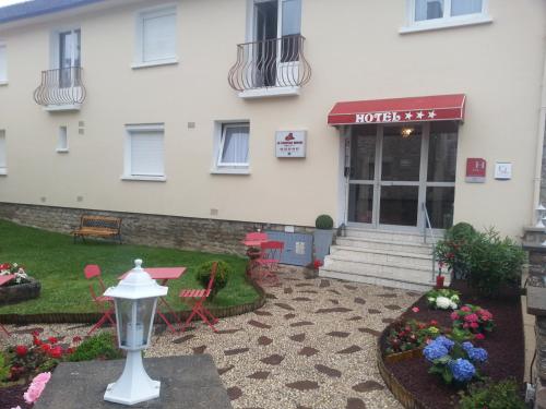
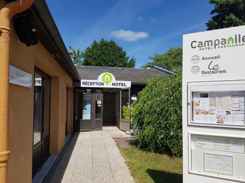
Hotel : Campanile Alençon

This 3-star Campanile Alençon is ideally located 3 km from the town centre, 2 km from the train station and offers direct access to the Alençon Nord exit of the A28 motorway. A...
Rate : from 51.00 €
to 77.00 €
Contact : Zat Du Londeau, Rue De L'industrie Cerisé 61000 Alençon
Distance Hotel - Champfleur : 6.79 km
|
|
Find another hotel near Champfleur : Champfleur hotels list
|
Map of Champfleur
|
|
Map of Champfleur :
At right you can find the localization of Champfleur on the map of France. Below, this is the satellite map of Champfleur. A road map, and maps templates of Champfleur are available here : "road map of Champfleur". This map show Champfleur seen by the satellite of Google Map. To see the streets of Champfleur or move on another zone, use the buttons "zoom" and "map" on top of this dynamic map.
Search on the map of Champfleur :
To search hotels, housings, tourist information office, administrations or other services, use the Google search integrated to the map on the following page : "map Champfleur".
Hotels of Champfleur are listed on the map with the following icons: 
The map of Champfleur is centred in the following coordinates :
|

|
|
|
|
Print the map of Champfleur

Print the map of Champfleur : map of Champfleur
|
Photos Champfleur
|
See all photos of Champfleur :
Other photos of Champfleur and nearby towns can be found here: photos Champfleur
|
These photos taken near the town of Champfleur can be shown in full screen clicking on the thumbnails. Photos are copyrighted by their owners.
|
|
Champfleur weather forecast
Find next hours and 7 days weather forecast for Champfleur here : weather Champfleur (with english metrics)
This is the last weather forecast for Champfleur collected by the nearest observation station of Saint-Paterne.
Week Forecast:
The latest weather data for Champfleur were collected Monday, 14 July 2025 at 19:08 from the nearest observation station of Saint-Paterne.
| Monday, July 14th |
26°C 16°C
76%
70%
|
Mostly cloudy
Temperature Max: 26°C Temperature Min: 16°C
Precipitation Probability: 76% (Rain)
Percentage of sky occluded by clouds: 70%
Wind speed: 19 km/h North-East
Humidity: 61%° UV Index: 6
Sunrise: 06:13 Sunset: 21:57 |
|
| | Tuesday, July 15th |
24°C 12°C
0%
46%
|
Partly cloudy
Temperature Max: 24°C Temperature Min: 12°C
Precipitation Probability: 0%
Percentage of sky occluded by clouds: 46%
Wind speed: 20 km/h East
Humidity: 54%° UV Index: 6
Sunrise: 06:14 Sunset: 21:56 |
|
| | Wednesday, July 16th |
23°C 16°C
34%
86%
|
Drizzle
Temperature Max: 23°C Temperature Min: 16°C
Precipitation Probability: 34% (Rain)
Percentage of sky occluded by clouds: 86%
Wind speed: 19 km/h East
Humidity: 71%° UV Index: 5
Sunrise: 06:15 Sunset: 21:55 |
|
| | Thursday, July 17th |
27°C 16°C
10%
67%
|
Mostly cloudy
Temperature Max: 27°C Temperature Min: 16°C
Precipitation Probability: 10% (Rain)
Percentage of sky occluded by clouds: 67%
Wind speed: 6 km/h South-East
Humidity: 68%° UV Index: 6
Sunrise: 06:16 Sunset: 21:54 |
|
|
Attribution: 
|
|
Other maps, hotels and towns in france
Find another town, zip code, department, region, ...
Quick links Champfleur :
Make a link to this page of Champfleur with the following code :
|
|
|
 French Version : http://www.cartesfrance.fr/carte-france-ville/72056_Champfleur.html