|
The village of Charens is a small village located south east of France. The town of Charens is located in the department of Drôme of the french region Rhône-Alpes. The town of Charens is located in the township of Luc-en-Diois part of the district of Die. The area code for Charens is 26076 (also known as code INSEE), and the Charens zip code is 26310.
Geography and map of Charens :
The altitude of the city hall of Charens is approximately 860 meters. The Charens surface is 13.47 km ². The latitude and longitude of Charens are 44.539 degrees North and 5.51 degrees East.
Nearby cities and towns of Charens are :
Saint-Dizier-en-Diois (26310) at 3.90 km, Beaumont-en-Diois (26310) at 4.54 km, Beaurières (26310) at 5.17 km, Les Prés (26310) at 5.67 km, Valdrôme (26310) at 6.29 km, Lesches-en-Diois (26310) at 6.57 km, Bellegarde-en-Diois (26470) at 6.66 km, Establet (26470) at 7.10 km.
(The distances to these nearby towns of Charens are calculated as the crow flies)
Population and housing of Charens :
The population of Charens was 33 in 1999, 22 in 2006 and 21 in 2007. The population density of Charens is 1.56 inhabitants per km². The number of housing of Charens was 42 in 2007. These homes of Charens consist of 13 main residences, 29 second or occasional homes and 0 vacant homes. |
|
|
Hotel Charens
|
|
|
Book now ! Best Price Guaranteed, no booking fees, pay at the hotel with our partner Booking.com, leader in online hotel reservation.
Find all hotels of Charens : Hotel Charens
| |
|
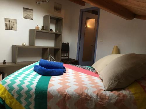
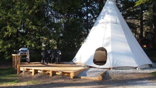
Guest accommodation : Le jas
Located 3 km from the village of Bruis in the Provence-Alpes-Côte d'Azur Region, this holiday home is 15 km from La Motte-Chalancon and 27 km from Serres. The property is at an ...
Address : Bruis Les fontettes 05150 Bruis
Distance Guest accommodation - Charens : 6.85 km
|
|
|
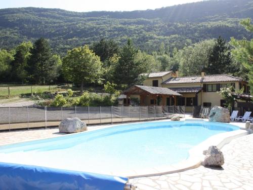
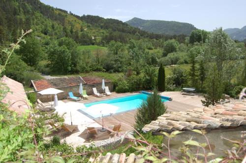
Guest accommodation : Clos Barnier
Featuring accommodation with a private pool, Clos Barnier is set in Luc-en-Diois. Guests staying at this holiday home have access to free WiFi, a fully equipped kitchen, and a t...
Contact : 26310 Luc-en-Diois
Distance Guest accommodation - Charens : 7.84 km
|
|
|
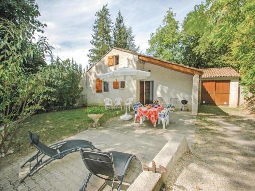
Guest accommodation : Holiday Home La Tuilerie - 08

Holiday Home La Tuilerie - 08 is situated in Luc-en-Diois. Guests have access to free WiFi. The property includes a living room with a TV. Die is 19 km from the holiday home, ...
Contact : 26310 Luc-en-Diois
Distance Guest accommodation - Charens : 9.17 km
|
|
|
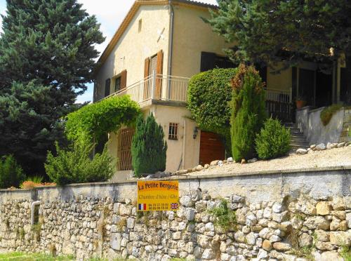
Guest accommodation : La Petite Bergerie in Drôme Provençale
Featuring free WiFi, La Petite Bergerie offers pet-friendly accommodation in Rottier, just 3.5 km from La Motte Chalancon. Free private parking is available on site, and meals c...
Rate : from 55.00 €
Contact : 1425 Route de die 26470 Rottier
Distance Guest accommodation - Charens : 10.41 km
|
|
|
Guest accommodation : Le Moulin
Le Moulin is set in La Piarre, 24 km from Valdrôme, and a seasonal outdoor swimming pool, barbecue facilities and a garden are accessible on-site. This property offers access to...
Address : rue de la calade 05700 La Piarre
Distance Guest accommodation - Charens : 13.60 km
|
|
|
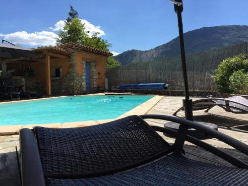
Guest accommodation : Le Moulin De Ravel
Set in Boulc, Le Moulin De Ravel provides accommodation with a private pool, free WiFi and private parking. The property features mountain views. The holiday home comes with 3 ...
Contact : moulin de ravel 26410 Boulc
Distance Guest accommodation - Charens : 13.62 km
|
|
|
Guest accommodation : Le Chanelou

Located 24 km from Valdrôme, Le Chanelou offers 3-star accommodation in La Piarre and features a seasonal outdoor swimming pool, barbecue facilities and a garden. With free WiFi...
Contact : rue de la calade 05700 La Piarre
Distance Guest accommodation - Charens : 13.63 km
|
|
|
Bed and Breakfast : La Source
Located in St Pierre D'Argencon, La Source features gardens, panoramic mountain views, terraces and free WiFi. Home-made meals can be provided upon reservation. The guests can e...
Price : from 62.00 €
to 97.00 €
Contact : Route De Valence 05140 Saint-Pierre-dʼArgençon
Distance Bed and Breakfast - Charens : 13.78 km
|
|
|
Guest accommodation : Glamping at Camping La Source
Offering a barbecue and sun terrace, Glamping at Camping La Source is situated in Saint-Pierre-d’Argençon in the Provence-Alpes-Côte d'Azur Region, 32 km from Gap. Die is 35 km ...
Address : Route de Valence 05140 Saint-Pierre-dʼArgençon
Distance Guest accommodation - Charens : 13.82 km
|
|
|
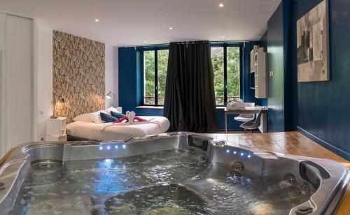
Bed and Breakfast : La Font Vineuse
Offering an indoor pool and an old renovated spa with mineral spring water, La Font Vineuse is a B&B located in Aspres-sur-Buëch. Free WiFi access is available. Featuring a hot...
Rate : from 119.20 €
to 239.00 €
Contact : Route de Valence 05140 Saint-Pierre-dʼArgençon
Distance Bed and Breakfast - Charens : 13.97 km
|
|
Find another hotel near Charens : Charens hotels list
|
Map of Charens
|
|
Map of Charens :
At right you can find the localization of Charens on the map of France. Below, this is the satellite map of Charens. A road map, and maps templates of Charens are available here : "road map of Charens". This map show Charens seen by the satellite of Google Map. To see the streets of Charens or move on another zone, use the buttons "zoom" and "map" on top of this dynamic map.
Search on the map of Charens :
To search hotels, housings, tourist information office, administrations or other services, use the Google search integrated to the map on the following page : "map Charens".
Hotels of Charens are listed on the map with the following icons: 
The map of Charens is centred in the following coordinates :
|

|
|
|
|
Print the map of Charens

Print the map of Charens : map of Charens
|
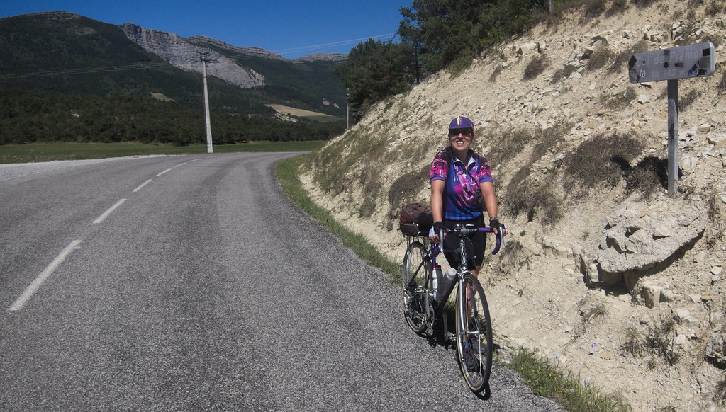
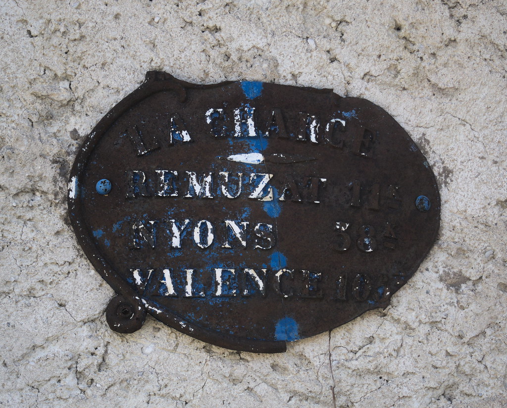
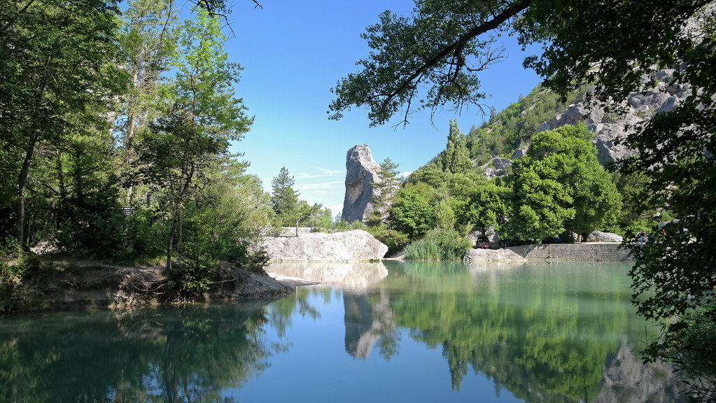
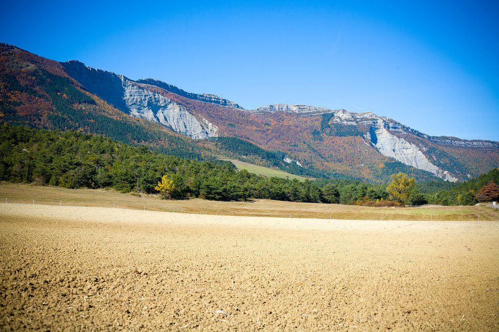
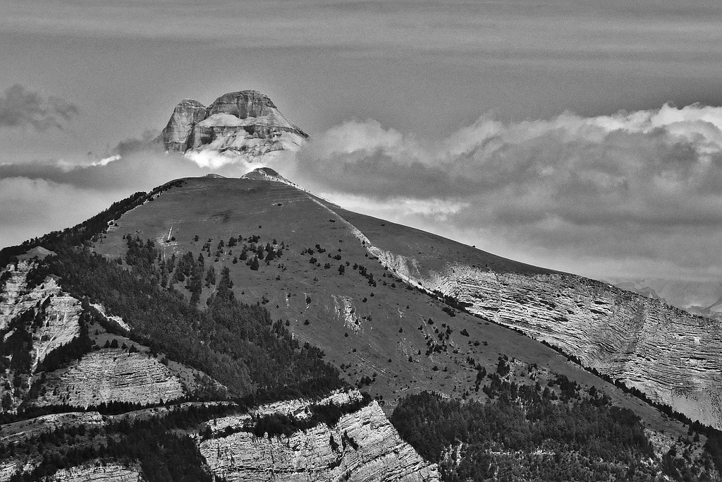
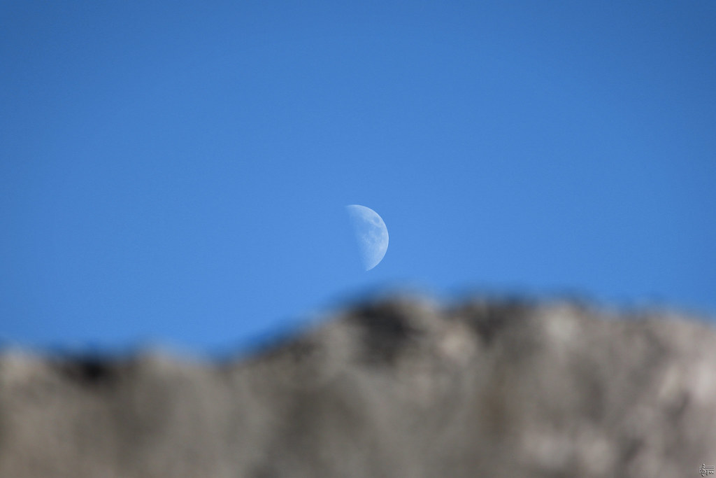
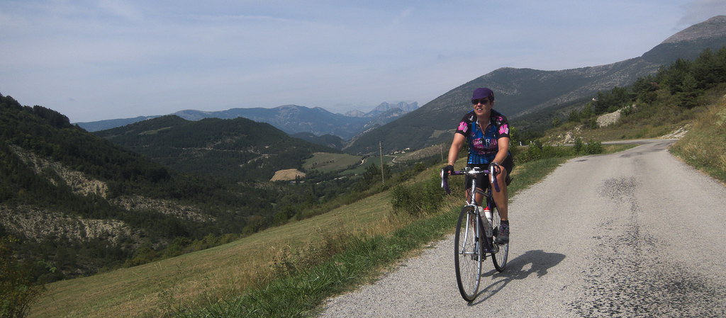
Photos Charens
|
See all photos of Charens :
Other photos of Charens and nearby towns can be found here: photos Charens
|
|
Charens weather forecast
Find next hours and 7 days weather forecast for Charens here : weather Charens (with english metrics)
This is the last weather forecast for Charens collected by the nearest observation station of Luc-en-Diois.
Week Forecast:
The latest weather data for Charens were collected Friday, 26 April 2024 at 17:00 from the nearest observation station of Luc-en-Diois.
| Friday, April 26th |
9°C 3°C
60%
95%
|
Rain
Temperature Max: 9°C Temperature Min: 3°C
Precipitation Probability: 60% (Rain)
Percentage of sky occluded by clouds: 95%
Wind speed: 10 km/h North-West
Humidity: 80%° UV Index: 3
Sunrise: 06:35 Sunset: 20:37 |
|
| | Saturday, April 27th |
14°C 4°C
41%
88%
|
Drizzle
Temperature Max: 14°C Temperature Min: 4°C
Precipitation Probability: 41% (Rain)
Percentage of sky occluded by clouds: 88%
Wind speed: 22 km/h North-West
Humidity: 56%° UV Index: 3
Sunrise: 06:34 Sunset: 20:38 |
|
| | Sunday, April 28th |
13°C 8°C
77%
98%
|
Rain
Temperature Max: 13°C Temperature Min: 8°C
Precipitation Probability: 77% (Rain)
Percentage of sky occluded by clouds: 98%
Wind speed: 12 km/h North-West
Humidity: 77%° UV Index: 3
Sunrise: 06:32 Sunset: 20:39 |
|
| | Monday, April 29th |
15°C 9°C
78%
98%
|
Rain
Temperature Max: 15°C Temperature Min: 9°C
Precipitation Probability: 78% (Rain)
Percentage of sky occluded by clouds: 98%
Wind speed: 7 km/h North-West
Humidity: 70%° UV Index: 3
Sunrise: 06:31 Sunset: 20:41 |
|
|
Attribution: 
|
|
Other maps, hotels and towns in france
Find another town, zip code, department, region, ...
Quick links Charens :
Make a link to this page of Charens with the following code :
|
|
|
 French Version : http://www.cartesfrance.fr/carte-france-ville/26076_Charens.html