Chavannes-les-Grands on the relief France map in Lambert 93 coordinates
|
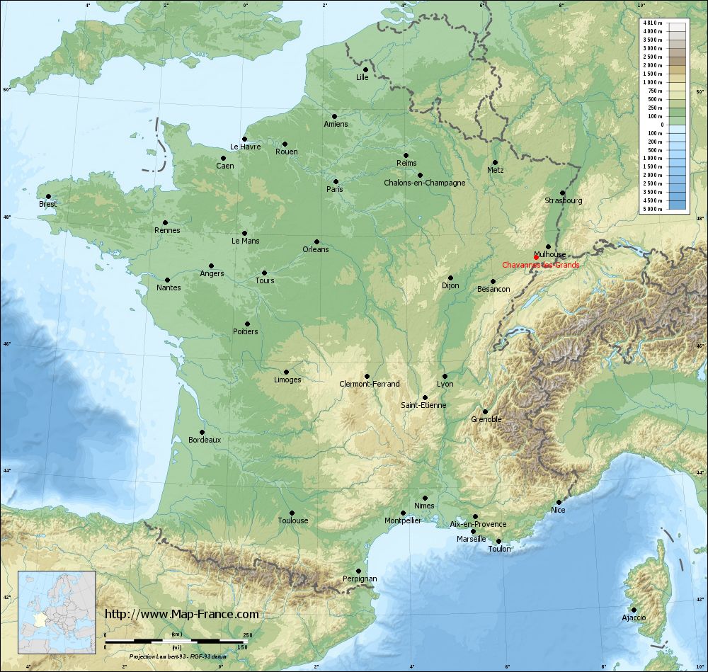
See the map of Chavannes-les-Grands in full screen (1000 x 949)
|
At left, here is the location of Chavannes-les-Grands on the relief France map in Lambert 93 coordinates.
Here are the altitudes of Chavannes-les-Grands :
- Town hall altitude of Chavannes-les-Grands is 371 meters
- Minimum altitude of Chavannes-les-Grands is 354 meters
- Maximum altitude of Chavannes-les-Grands is 385 meters
- Medium altitude of Chavannes-les-Grands is 370 meters
Here are the altitudes of Belfort, prefecture of Territoire de Belfort department:
- Town hall altitude of Belfort is 361 meters
- Minimum altitude of Belfort is 354 meters
- Maximum altitude of Belfort is 650 meters
- Medium altitude of Belfort is 502 meters
Here are the altitudes of the french biggest cities:
Paris : 33 meters
Marseille : 20 meters
Lyon : 237 meters
Toulouse : 146 meters
Nice : 10 meters
Nantes : 20 meters
Strasbourg : 144 meters
Montpellier : 35 meters
Bordeaux : 16 meters
Lille : 20 meters
Rennes : 35 meters
Reims : 83 meters
Click here for the terrain map of Chavannes-les-Grands in full screen:
Relief map of Chavannes-les-Grands
|
This relief map of Chavannes-les-Grands is reusable and modifiable by making a link to this page of the Map-France.com website or by using the given code :
|
Terrain base map of Chavannes-les-Grands
|

See the terrain base map of Chavannes-les-Grands in full screen (1000 x 949)
|
Small relief base map of Chavannes-les-Grands

|
This base map of Chavannes-les-Grands is reusable and modifiable by making a link to this page of the Map-France.com website or by using the given code :
|
Map of Chavannes-les-Grands with regions and prefectures
|
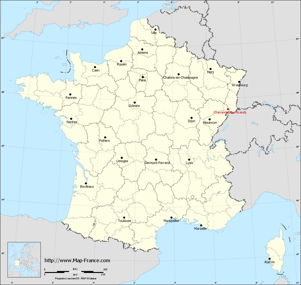
View the map of Chavannes-les-Grands in full screen (1000 x 949)
|
You will find the location of Chavannes-les-Grands on the map of France of regions in Lambert 93 coordinates. The town of Chavannes-les-Grands is located in the department of Territoire de Belfort of the french region Franche-Comté.
Geographical sexagesimal coordinates / GPS (WGS84):
Latitude: 47° 35' 28'' North
Longitude: 07° 02' 49'' East
Geographical decimal coordinates :
Latitude: 47.592 degrees (47.592° North)
Longitude: 7.046 degrees (7.046° East)
Lambert 93 coordinates :
X: 10 040 hectometers
Y: 67 290 hectometers
Lambert 2 coordinates :
X: 9 541 hectometers
Y: 22 986 hectometers
Below, the geographical coordinates of Belfort, prefecture of the Territoire de Belfort department:
Geographical sexagesimal coordinates / GPS (WGS84):
Latitude: 47° 38' 28'' North
Longitude: 06° 50' 58'' East
Geographical decimal coordinates :
Latitude: 47.642 degrees (47.642° North)
Longitude: 6.856 degrees (6.856° East)
Lambert 93 coordinates :
X: 9 889 hectometers
Y: 67 338 hectometers
Lambert 2 coordinates :
X: 9 389 hectometers
Y: 23 032 hectometers
|
This map of Chavannes-les-Grands is reusable and modifiable by making a link to this page of the Map-France.com website or by using the given code :
|
Map of Chavannes-les-Grands with departments and prefectures
|
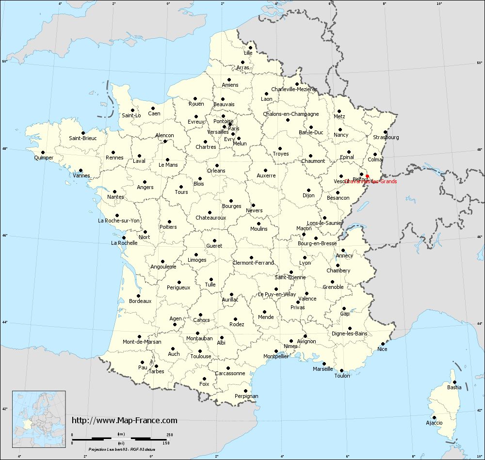
Voir la carte of Chavannes-les-Grands en grand format (1000 x 949)
|
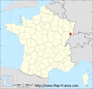
Here is the localization of Chavannes-les-Grands on the France map of departments in Lambert 93 coordinates. The city of Chavannes-les-Grands is shown on the map by a red point.
The town of Chavannes-les-Grands is located in the department of Territoire de Belfort of the french region Franche-Comté.
The latitude of Chavannes-les-Grands is 47.592 degrees North.
The longitude of Chavannes-les-Grands is 7.046 degrees East.
Here the distance between Chavannes-les-Grands and the biggest cities of France:
Distances are calculated as the crow flies (orthodromic distance)
Distance between Chavannes-les-Grands and Paris : 375.30 kilometers
Distance between Chavannes-les-Grands and Marseille : 494.14 kilometers
Distance between Chavannes-les-Grands and Lyon : 264.34 kilometers
Distance between Chavannes-les-Grands and Toulouse : 621.01 kilometers
Distance between Chavannes-les-Grands and Nice : 432.13 kilometers
Distance between Chavannes-les-Grands and Nantes : 647.71 kilometers
Distance between Chavannes-les-Grands and Strasbourg : 122.14 kilometers
Distance between Chavannes-les-Grands and Montpellier : 506.56 kilometers
Distance between Chavannes-les-Grands and Bordeaux : 660.35 kilometers
Distance between Chavannes-les-Grands and Lille : 445.35 kilometers
Distance between Chavannes-les-Grands and Rennes : 652.83 kilometers
Distance between Chavannes-les-Grands and Reims : 289.20 kilometers
Clic here to see the map of Chavannes-les-Grands in full screen:
Chavannes-les-Grands on the map of french departments
|
This administrative map of Chavannes-les-Grands is reusable and modifiable by making a link to this page of the Map-France.com website or by using the given code :
|
Administrative base maps of Chavannes-les-Grands
|

See the administrative base map of Chavannes-les-Grands in full screen (1000 x 949)
|
Small administrative base map of Chavannes-les-Grands
|
This base map administrative of Chavannes-les-Grands is reusable and modifiable by making a link to this page of the Map-France.com website or by using the given code :
|
 French Version : http://www.cartesfrance.fr