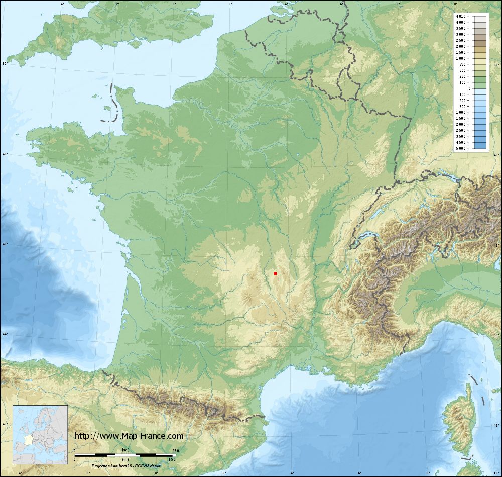
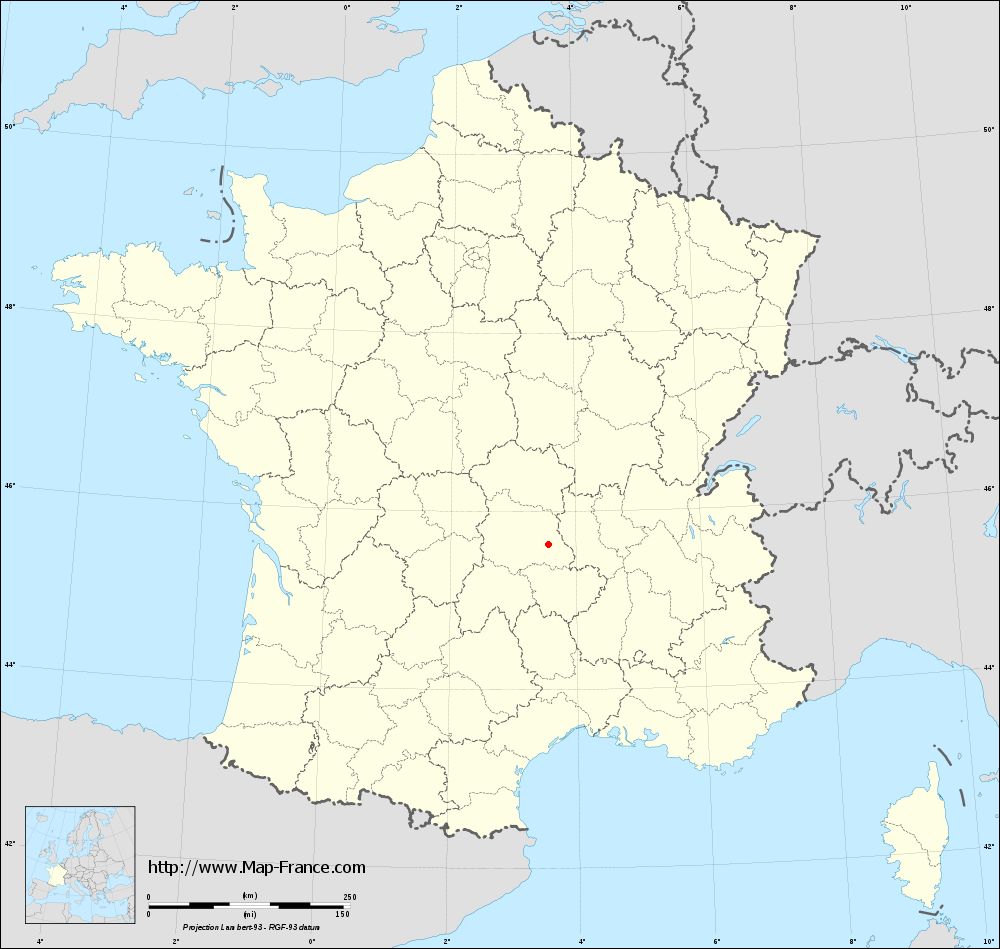
Cunlhat on the relief France map in Lambert 93 coordinates
|

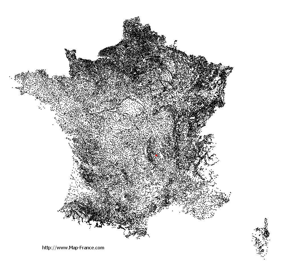
See the map of Cunlhat in full screen (1000 x 949)
|
At left, here is the location of Cunlhat on the relief France map in Lambert 93 coordinates.
Here are the altitudes of Cunlhat :
- Town hall altitude of Cunlhat is 700 meters
- Minimum altitude of Cunlhat is 540 meters
- Maximum altitude of Cunlhat is 1 014 meters
- Medium altitude of Cunlhat is 777 meters
Here are the altitudes of Clermont-Ferrand, prefecture of Puy-de-Dôme department:
- Town hall altitude of Clermont-Ferrand is 365 meters
- Minimum altitude of Clermont-Ferrand is 321 meters
- Maximum altitude of Clermont-Ferrand is 602 meters
- Medium altitude of Clermont-Ferrand is 462 meters
Here are the altitudes of the french biggest cities:
Paris : 33 meters
Marseille : 20 meters
Lyon : 237 meters
Toulouse : 146 meters
Nice : 10 meters
Nantes : 20 meters
Strasbourg : 144 meters
Montpellier : 35 meters
Bordeaux : 16 meters
Lille : 20 meters
Rennes : 35 meters
Reims : 83 meters
Click here for the terrain map of Cunlhat in full screen:
Relief map of Cunlhat
|
This relief map of Cunlhat is reusable and modifiable by making a link to this page of the Map-France.com website or by using the given code :
|
Terrain base map of Cunlhat
|
See the terrain base map of Cunlhat in full screen (1000 x 949)
|
Small relief base map of Cunlhat

|
This base map of Cunlhat is reusable and modifiable by making a link to this page of the Map-France.com website or by using the given code :
|
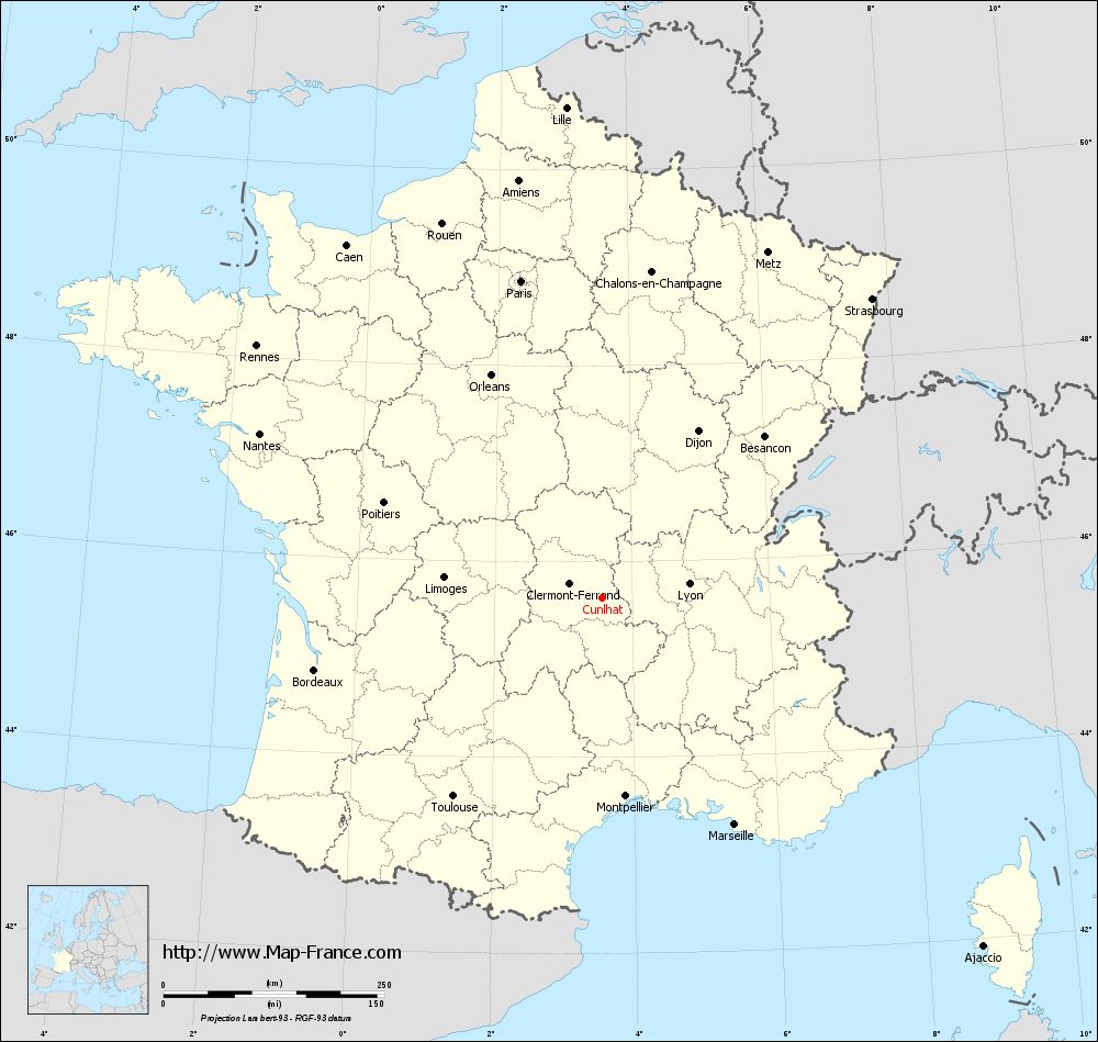
Map of Cunlhat with regions and prefectures
|
View the map of Cunlhat in full screen (1000 x 949)
|
You will find the location of Cunlhat on the map of France of regions in Lambert 93 coordinates. The town of Cunlhat is located in the department of Puy-de-Dôme of the french region Auvergne.
Geographical sexagesimal coordinates / GPS (WGS84):
Latitude: 45° 37' 55'' North
Longitude: 03° 33' 33'' East
Geographical decimal coordinates :
Latitude: 45.632 degrees (45.632° North)
Longitude: 3.56 degrees (3.56° East)
Lambert 93 coordinates :
X: 7 436 hectometers
Y: 65 038 hectometers
Lambert 2 coordinates :
X: 6 953 hectometers
Y: 20 709 hectometers
Below, the geographical coordinates of Clermont-Ferrand, prefecture of the Puy-de-Dôme department:
Geographical sexagesimal coordinates / GPS (WGS84):
Latitude: 45° 46' 47'' North
Longitude: 03° 05' 13'' East
Geographical decimal coordinates :
Latitude: 45.779 degrees (45.779° North)
Longitude: 3.085 degrees (3.085° East)
Lambert 93 coordinates :
X: 7 067 hectometers
Y: 65 200 hectometers
Lambert 2 coordinates :
X: 6 584 hectometers
Y: 20 869 hectometers
|
This map of Cunlhat is reusable and modifiable by making a link to this page of the Map-France.com website or by using the given code :
|
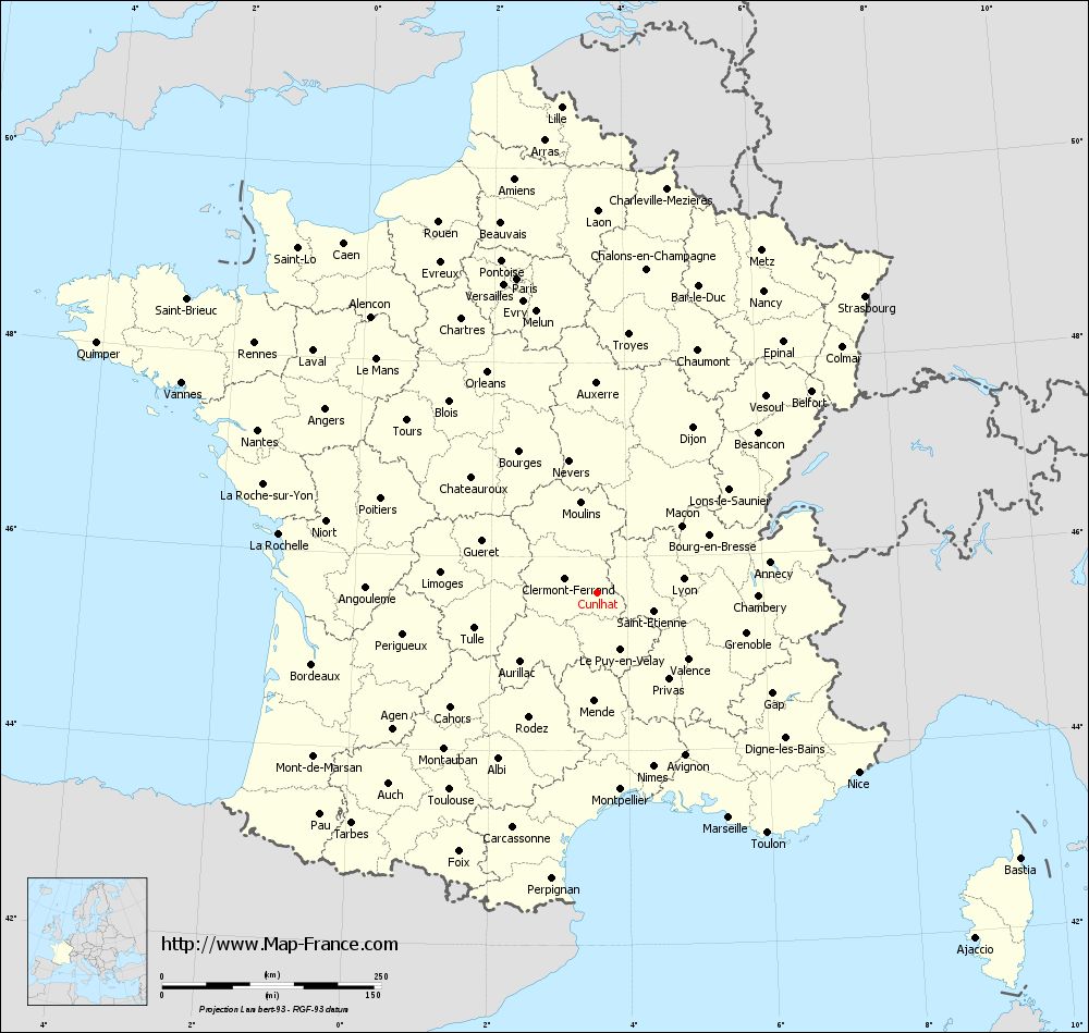
Map of Cunlhat with departments and prefectures
|
Voir la carte of Cunlhat en grand format (1000 x 949)
|
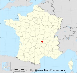
Here is the localization of Cunlhat on the France map of departments in Lambert 93 coordinates. The city of Cunlhat is shown on the map by a red point.
The town of Cunlhat is located in the department of Puy-de-Dôme of the french region Auvergne.
The latitude of Cunlhat is 45.632 degrees North.
The longitude of Cunlhat is 3.56 degrees East.
Here the distance between Cunlhat and the biggest cities of France:
Distances are calculated as the crow flies (orthodromic distance)
Distance between Cunlhat and Paris : 370.17 kilometers
Distance between Cunlhat and Marseille : 297.62 kilometers
Distance between Cunlhat and Lyon : 99.95 kilometers
Distance between Cunlhat and Toulouse : 280.74 kilometers
Distance between Cunlhat and Nice : 362.43 kilometers
Distance between Cunlhat and Nantes : 429.36 kilometers
Distance between Cunlhat and Strasbourg : 456.22 kilometers
Distance between Cunlhat and Montpellier : 226.20 kilometers
Distance between Cunlhat and Bordeaux : 335.12 kilometers
Distance between Cunlhat and Lille : 556.35 kilometers
Distance between Cunlhat and Rennes : 483.62 kilometers
Distance between Cunlhat and Reims : 404.38 kilometers
Clic here to see the map of Cunlhat in full screen:
Cunlhat on the map of french departments
|
This administrative map of Cunlhat is reusable and modifiable by making a link to this page of the Map-France.com website or by using the given code :
|
Administrative base maps of Cunlhat
|
See the administrative base map of Cunlhat in full screen (1000 x 949)
|
Small administrative base map of Cunlhat
|
This base map administrative of Cunlhat is reusable and modifiable by making a link to this page of the Map-France.com website or by using the given code :
|
 French Version : http://www.cartesfrance.fr