|
The village of Curgies is a small french village located north of France. The town of Curgies is located in the department of Nord of the french region Nord-Pas-de-Calais. The town of Curgies is located in the township of Valenciennes-Est part of the district of Valenciennes. The area code for Curgies is 59166 (also known as code INSEE), and the Curgies zip code is 59990.
Geography and map of Curgies :
The altitude of the city hall of Curgies is approximately 85 meters. The Curgies surface is 6.08 km ². The latitude and longitude of Curgies are 50.331 degrees North and 3.602 degrees East.
Nearby cities and towns of Curgies are :
Saultain (59990) at 1.90 km, Estreux (59990) at 2.41 km, Jenlain (59144) at 2.67 km, Préseau (59990) at 2.96 km, Sebourg (59990) at 3.49 km, Maresches (59990) at 4.55 km, Eth (59144) at 4.67 km, Wargnies-le-Grand (59144) at 4.68 km.
(The distances to these nearby towns of Curgies are calculated as the crow flies)
Population and housing of Curgies :
The population of Curgies was 1 192 in 1999, 1 161 in 2006 and 1 144 in 2007. The population density of Curgies is 188.16 inhabitants per km². The number of housing of Curgies was 482 in 2007. These homes of Curgies consist of 458 main residences, 1 second or occasional homes and 23 vacant homes. |
|
|
Hotel Curgies
|
|
|
Book now ! Best Price Guaranteed, no booking fees, pay at the hotel with our partner Booking.com, leader in online hotel reservation.
Find all hotels of Curgies : Hotel Curgies
| |
|
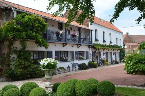
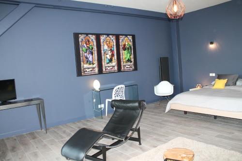
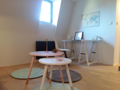
Bed and Breakfast : Maison d'Hôtes - Le Domaine de la Frênaie
Surrounded by a 3000-m2 park, this B&B is located in the village of Estreux and features an outdoor swimming pool, a big terrace and en suite rooms with LCD TV and electric kett...
Rate : from 69.00 €
to 119.00 €
Address : 27 rue de la liberté 59990 Estreux
Distance Bed and Breakfast - Curgies : 2.41 km
|
|
|
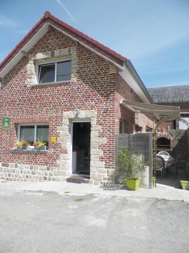
Bed and Breakfast : Hermitage Henry
Located in Maresches, Hermitage Henry provides accommodation with free WiFi and access to a garden with a terrace. The accommodation features a sauna. The bed and breakfast off...
Price : from 89.00 €
to 129.00 €
Contact : 9 Route de Wult 59990 Maresches
Distance Bed and Breakfast - Curgies : 3.29 km
|
|
|
Guest accommodation : Gîte les Prairies

Gîte les Prairies is set in Maresches and offers barbecue facilities. The property was built in 2011, and features accommodation with free WiFi. The 2-bedroom holiday home come...
Contact : 6 rue Merdieu 59990 Maresches
Distance Guest accommodation - Curgies : 4.99 km
|
|
|
Bed and Breakfast : Watt'Home
Watt'Home, featuring a garden, is located in Valenciennes, 300 metres from Fine Arts museum and less than 1 km from Valenciennes Town Hall. This bed and breakfast offers a share...
Rate : from 85.00 €
Contact : 21 Boulevard WATTEAU 59300 Valenciennes
Distance Bed and Breakfast - Curgies : 5.79 km
|
|
|
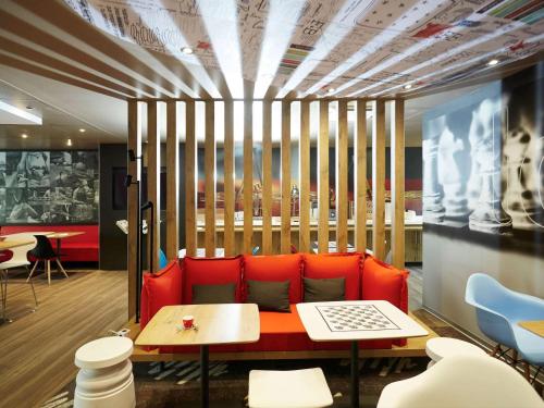
Hotel : ibis Valenciennes
Just 1.5 km from Valenciennes town centre, this Ibis hotel offers guest rooms equipped with a flat-screen TV with satellite channels. It is located 500 metres from Hainaut Stadi...
Price : from 63.00 €
to 143.00 €
Address : 90 rue Baudouin l'Édifieur 59300 Valenciennes
Distance Hotel - Curgies : 5.85 km
|
|

|
The Hotel Baudouin is located a 5-minute walk from Valenciennes City Centre and Du Hainaut Stadium. It offers affordable guest rooms with free WiFi access and cable TV. All gue...
Prices : from 59.00 €
to 105.00 €
Contact : 90 rue Baudouin l'Édifieur 59300 Valenciennes
Distance Hotel - Curgies : 5.87 km
|
|

|
Hotel : B&B Hôtel Valenciennes
B&B Hôtel Valenciennes is offering accommodation in Marly. This 2-star hotel has air-conditioned rooms with a private bathroom. Free WiFi is available. The units in the hotel a...
Rate : from 49.00 €
to 97.00 €
Contact : Rue de Sologne 59770 Marly
Distance Hotel - Curgies : 5.90 km
|
|
|
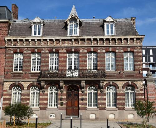
Guest accommodation : Maison Mathilde
Located in the historic centre of Valenciennes, Maison Mathilde is set in a 17th century building offering guest suites with access to a terrace and shared lounge. The garden of...
Price : from 180.00 €
to 250.00 €
Contact : 1 Quater Rue Du Béguinage 59300 Valenciennes
Distance Guest accommodation - Curgies : 6.07 km
|
|
|
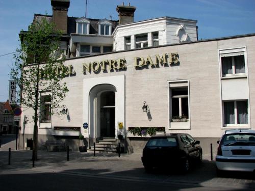
Hotel : Hotel Notre Dame
Located in the historic town of Valenciennes, opposite the basilica, Hotel Notre Dame combines serenity, relaxation and conviviality. Enjoy a mix of 21st-century modernism and ...
Prices : from 56.00 €
to 106.00 €
Address : 1 Place Abbé Thellier De Poncheville 59300 Valenciennes
Distance Hotel - Curgies : 6.09 km
|
|

|
Hotel : Mercure Valenciennes Centre
This 4-star Mercure hotel is located in the centre of Valenciennes, just 600 metres from the Museum of Fine Art. It offers a 24-hour reception, an on-site bar and rooms with fre...
Rate : from 89.00 €
to 216.50 €
Contact : 5, rue Saint Cordon 59300 Valenciennes
Distance Hotel - Curgies : 6.16 km
|
|
Find another hotel near Curgies : Curgies hotels list
|
Map of Curgies
|
|
Map of Curgies :
At right you can find the localization of Curgies on the map of France. Below, this is the satellite map of Curgies. A road map, and maps templates of Curgies are available here : "road map of Curgies". This map show Curgies seen by the satellite of Google Map. To see the streets of Curgies or move on another zone, use the buttons "zoom" and "map" on top of this dynamic map.
Search on the map of Curgies :
To search hotels, housings, tourist information office, administrations or other services, use the Google search integrated to the map on the following page : "map Curgies".
Hotels of Curgies are listed on the map with the following icons: 
The map of Curgies is centred in the following coordinates :
|

|
|
|
|
Print the map of Curgies

Print the map of Curgies : map of Curgies
|
Photos Curgies
|
See all photos of Curgies :
Other photos of Curgies and nearby towns can be found here: photos Curgies
|
|
Curgies weather forecast
Find next hours and 7 days weather forecast for Curgies here : weather Curgies (with english metrics)
This is the last weather forecast for Curgies collected by the nearest observation station of Valenciennes.
Week Forecast:
The latest weather data for Curgies were collected Sunday, 06 July 2025 at 19:06 from the nearest observation station of Valenciennes.
| Sunday, July 6th |
20°C 16°C
96%
98%
|
Rain
Temperature Max: 20°C Temperature Min: 16°C
Precipitation Probability: 96% (Rain)
Percentage of sky occluded by clouds: 98%
Wind speed: 19 km/h North-East
Humidity: 84%° UV Index: 4
Sunrise: 05:43 Sunset: 21:58 |
|
| | Monday, July 7th |
19°C 12°C
89%
87%
|
Rain
Temperature Max: 19°C Temperature Min: 12°C
Precipitation Probability: 89% (Rain)
Percentage of sky occluded by clouds: 87%
Wind speed: 17 km/h South-East
Humidity: 79%° UV Index: 4
Sunrise: 05:44 Sunset: 21:57 |
|
| | Tuesday, July 8th |
20°C 11°C
53%
57%
|
Drizzle
Temperature Max: 20°C Temperature Min: 11°C
Precipitation Probability: 53% (Rain)
Percentage of sky occluded by clouds: 57%
Wind speed: 21 km/h South-East
Humidity: 68%° UV Index: 5
Sunrise: 05:45 Sunset: 21:56 |
|
| | Wednesday, July 9th |
24°C 11°C
0%
33%
|
Mostly clear
Temperature Max: 24°C Temperature Min: 11°C
Precipitation Probability: 0%
Percentage of sky occluded by clouds: 33%
Wind speed: 9 km/h South-East
Humidity: 64%° UV Index: 6
Sunrise: 05:45 Sunset: 21:56 |
|
|
Attribution: 
|
|
Other maps, hotels and towns in france
Find another town, zip code, department, region, ...
Quick links Curgies :
Make a link to this page of Curgies with the following code :
|
|
|
 French Version : http://www.cartesfrance.fr/carte-france-ville/59166_Curgies.html