|
The village of Entrevennes is a small village located south east of France. The town of Entrevennes is located in the department of Alpes-de-Haute-Provence of the french region Provence-Alpes-Côte d'Azur. The town of Entrevennes is located in the township of Les Mées part of the district of Digne-les-Bains. The area code for Entrevennes is 04077 (also known as code INSEE), and the Entrevennes zip code is 04700.
Geography and map of Entrevennes :
The altitude of the city hall of Entrevennes is approximately 640 meters. The Entrevennes surface is 29.81 km ². The latitude and longitude of Entrevennes are 43.938 degrees North and 6.022 degrees East.
Nearby cities and towns of Entrevennes are :
Le Castellet (04700) at 3.22 km, Puimichel (04700) at 4.01 km, Brunet (04210) at 5.21 km, Saint-Julien-d'Asse (04270) at 6.07 km, Saint-Jeannet (04270) at 7.93 km, Bras-d'Asse (04270) at 8.28 km, Oraison (04700) at 8.49 km, La Brillanne (04700) at 10.54 km.
(The distances to these nearby towns of Entrevennes are calculated as the crow flies)
Population and housing of Entrevennes :
The population of Entrevennes was 163 in 1999, 159 in 2006 and 163 in 2007. The population density of Entrevennes is 5.47 inhabitants per km². The number of housing of Entrevennes was 164 in 2007. These homes of Entrevennes consist of 78 main residences, 73 second or occasional homes and 13 vacant homes. |
|
|
Hotel Entrevennes
|
|
|
Book now ! Best Price Guaranteed, no booking fees, pay at the hotel with our partner Booking.com, leader in online hotel reservation.
Find all hotels of Entrevennes : Hotel Entrevennes
| |
|
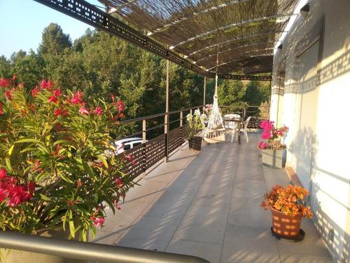
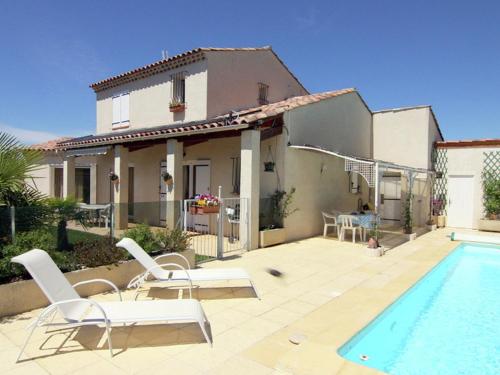
Guest accommodation : La Campagne de Petre
Boasting a seasonal outdoor swimming pool, La Campagne de Petre is set in Entrevennes. Offering a restaurant, the property also has a garden and a terrace. The accommodation pro...
Address : Chemin des Plaines Madame 04700 Entrevennes
Distance Guest accommodation - Entrevennes : 3.78 km
|
|

|
Guest accommodation : Les Hauts Bronzets 309S
Les Hauts Bronzets 309S is situated in Oraison. The accommodation has free WiFi. The holiday home includes a kitchen with a dishwasher and an oven, as well as a coffee machine....
Contact : 04700 Oraison
Distance Guest accommodation - Entrevennes : 3.87 km
|
|
|
Guest accommodation : Les Hauts Bronzets 310S
Situated in Oraison, Les Hauts Bronzets 310S provides accommodation with a terrace and free WiFi. Guests staying at this holiday home have access to a fully equipped kitchen. G...
Contact : 04700 Oraison
Distance Guest accommodation - Entrevennes : 3.87 km
|
|

|
Guest accommodation : Les Hauts Bronzets 311S
Les Hauts Bronzets 311S is situated in Oraison. Guests staying at this holiday home have access to free WiFi and a fully equipped kitchen. Gréoux-les-Bains is 35 km from the ho...
Contact : 04700 Oraison
Distance Guest accommodation - Entrevennes : 3.87 km
|
|
|
Guest accommodation : Villabellevie
Villabellevie is a holiday home featuring 5 bedrooms and a garden with a barbecue, situated in Bras-d’Asse. Guests benefit from free WiFi and private parking available on site. ...
Address : Chemin du brusquet 04270 Bras-dʼAsse
Distance Guest accommodation - Entrevennes : 7.98 km
|
|
|
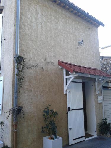
Apartment : Marius et Fanny
Marius et Fanny is set in Oraison. Guests staying at this apartment have access to a fully equipped kitchenette. The apartment is fitted with a flat-screen TV and a living room...
Prices : from 20.00 €
to 26.00 €
Contact : 1 Rue Marius Brun 04700 Oraison
Distance Apartment - Entrevennes : 8.41 km
|
|
|
Guest accommodation : pavillon

Situated in Oraison in the Provence-Alpes-Côte d'Azur region, pavillon is a 3-star property featuring free WiFi. Guests have a private terrace. The holiday home includes a kitc...
Contact : 510 chemin du Thuve 1 Lotissement l'infernet 04700 Oraison
Distance Guest accommodation - Entrevennes : 9.38 km
|
|
|
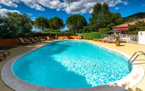
Hotel : Logis La Grande Bastide
Situated in the heart of sunny Provence, on the edge of Verdon Natural Regional Park, the Logis La Grande Bastide offers a warm welcome in a scene of cultivated lands and colour...
Price : from 88.00 €
to 131.00 €
Contact : Route De Valensole. A La Sortie D'oraison 04700 Oraison
Distance Hotel - Entrevennes : 9.82 km
|
|
|
Guest accommodation : Villa Rosalie
Set in Oraison in the Provence-Alpes-Côte d'Azur region, Villa Rosalie has a terrace. This holiday home features free WiFi, barbecue facilities, as well as a garden. This 2-bed...
Address : 04700 Oraison
Distance Guest accommodation - Entrevennes : 9.94 km
|
|
|
Bed and Breakfast : Pigeonnier des Banons

Featuring free WiFi and a sun terrace, Pigeonnier des Banons offers accommodation in Puimoisson, 23 km from Gréoux-les-Bains and a 30-minute drive from Verdon Natural Regional P...
Contact : Pas de Laval 04410 Puimoisson
Distance Bed and Breakfast - Entrevennes : 10.12 km
|
|
Find another hotel near Entrevennes : Entrevennes hotels list
|
Map of Entrevennes
|
|
Map of Entrevennes :
At right you can find the localization of Entrevennes on the map of France. Below, this is the satellite map of Entrevennes. A road map, and maps templates of Entrevennes are available here : "road map of Entrevennes". This map show Entrevennes seen by the satellite of Google Map. To see the streets of Entrevennes or move on another zone, use the buttons "zoom" and "map" on top of this dynamic map.
Search on the map of Entrevennes :
To search hotels, housings, tourist information office, administrations or other services, use the Google search integrated to the map on the following page : "map Entrevennes".
Hotels of Entrevennes are listed on the map with the following icons: 
The map of Entrevennes is centred in the following coordinates :
|

|
|
|
|
Print the map of Entrevennes

Print the map of Entrevennes : map of Entrevennes
|
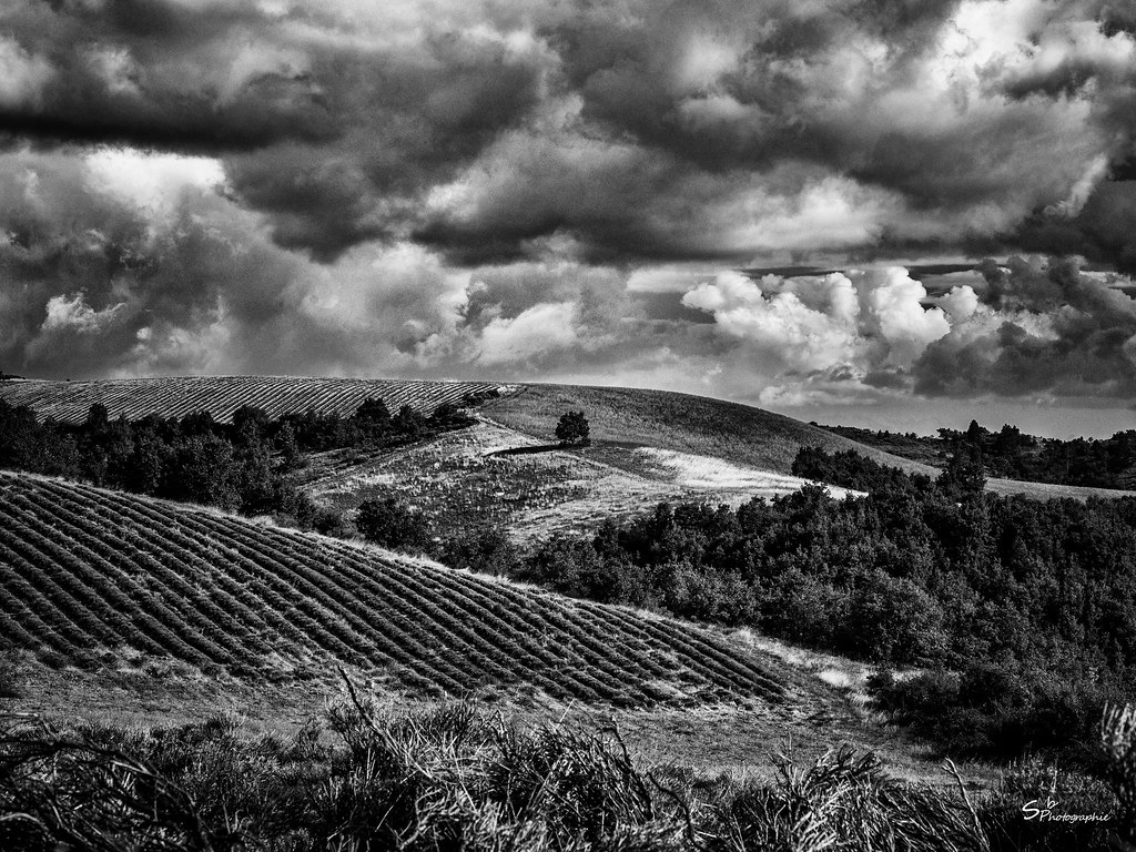
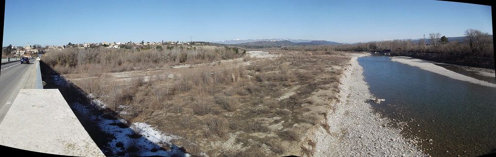
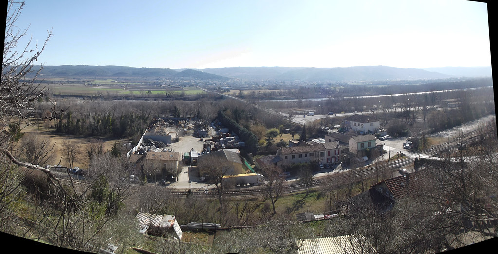
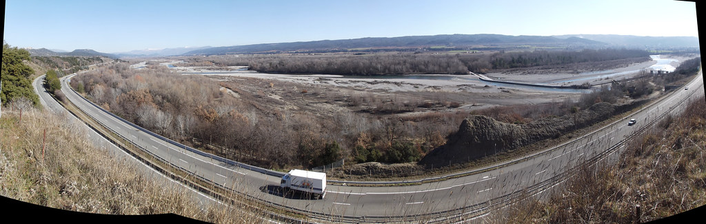
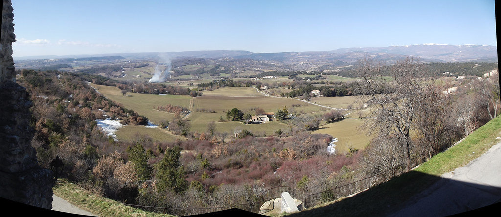
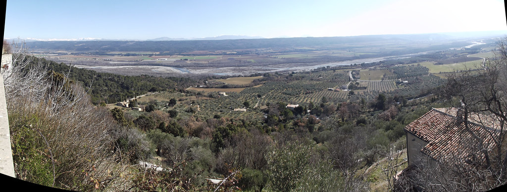
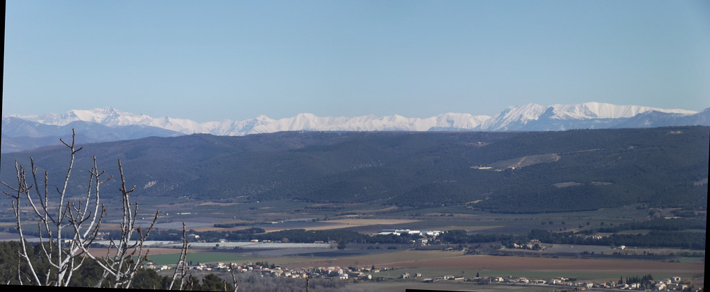
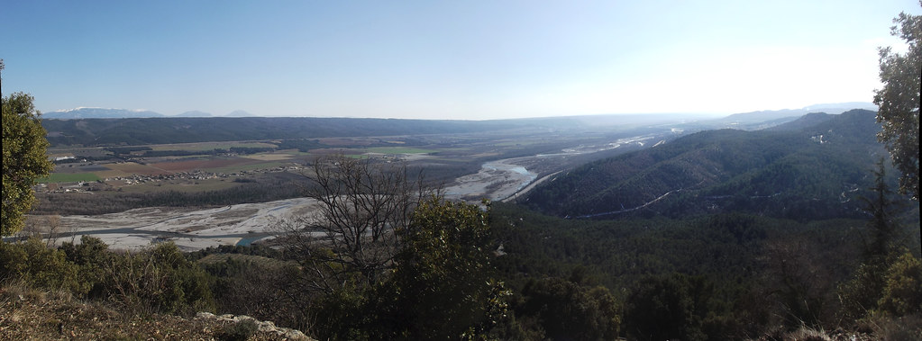
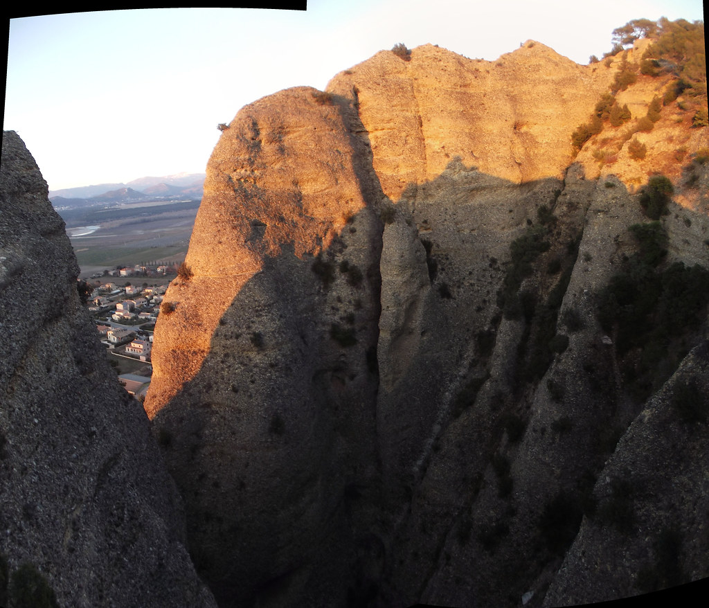
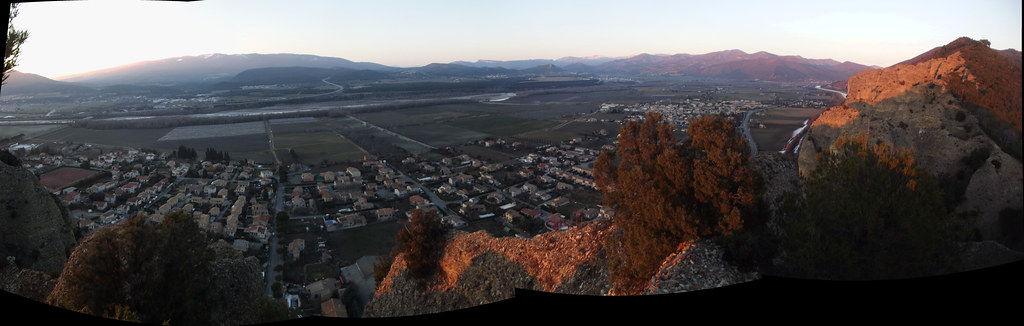
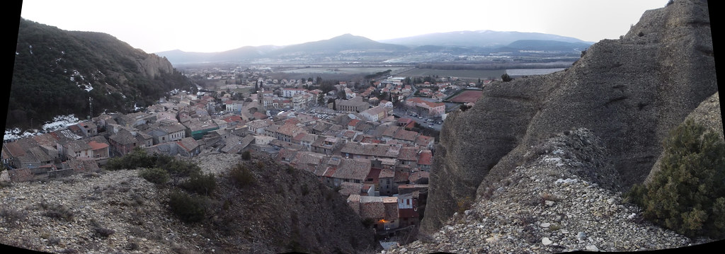
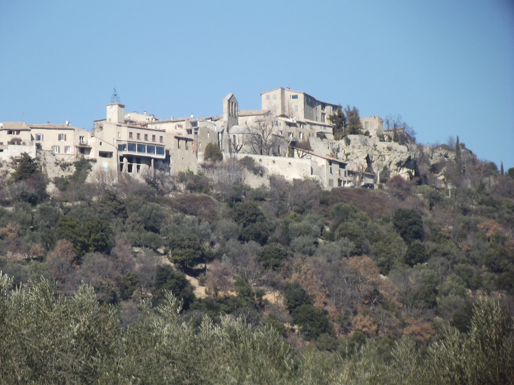
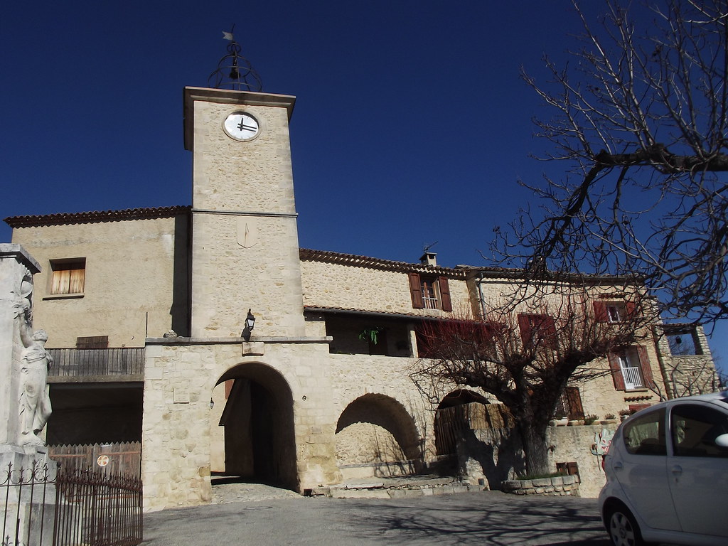
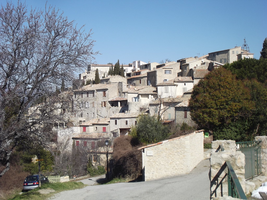
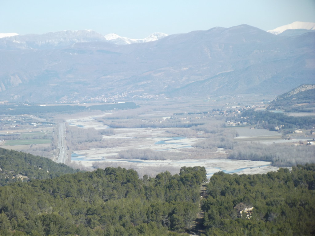
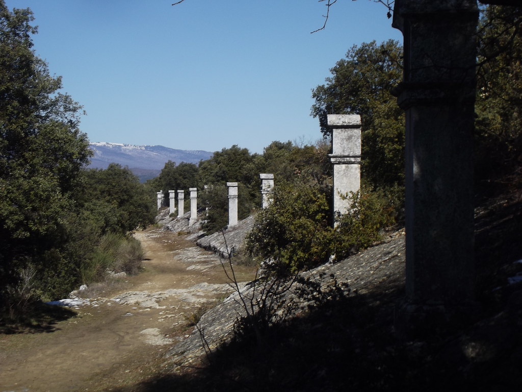
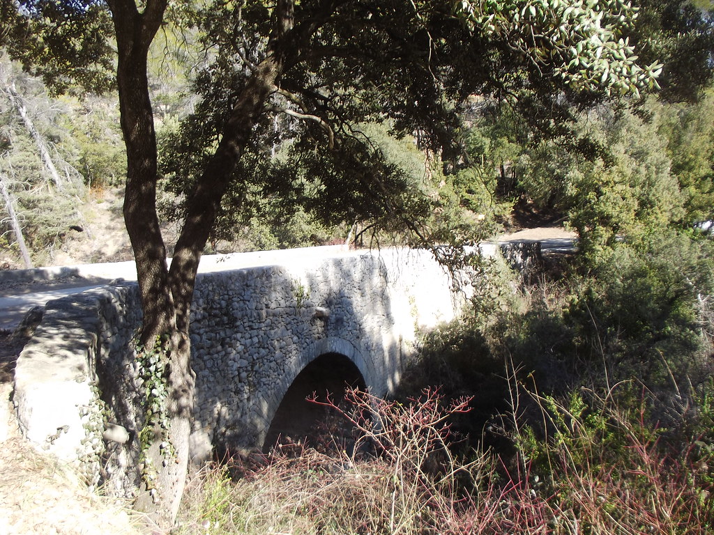
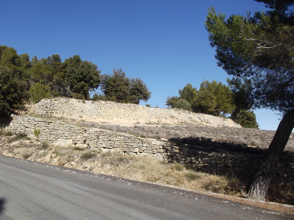
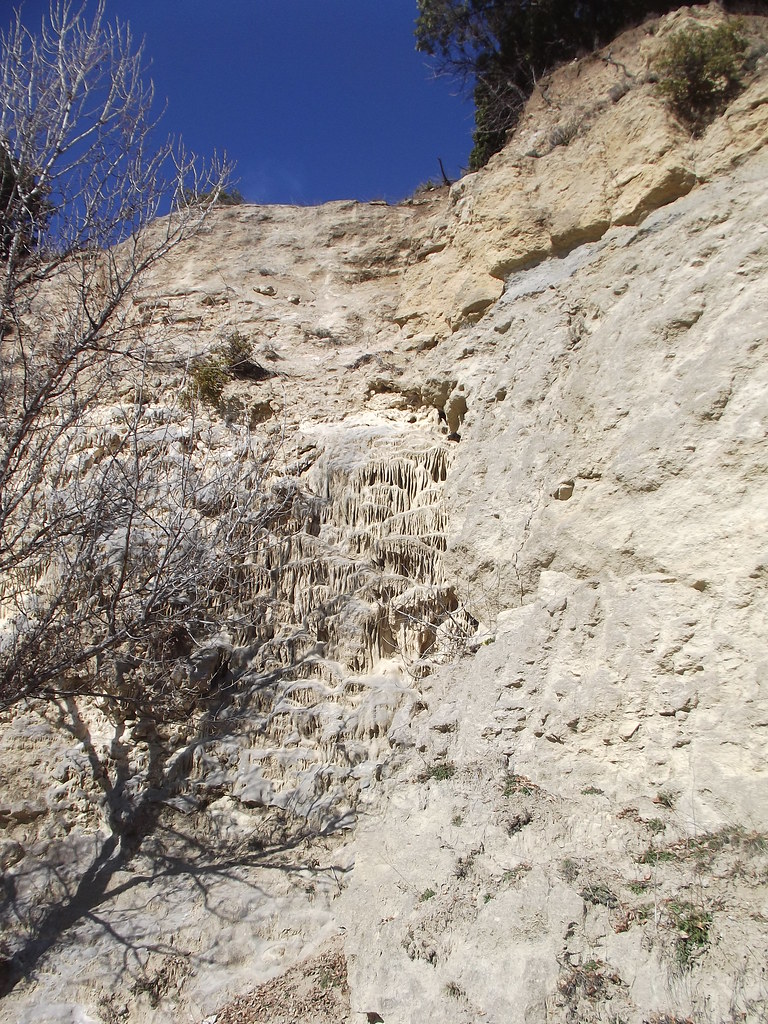
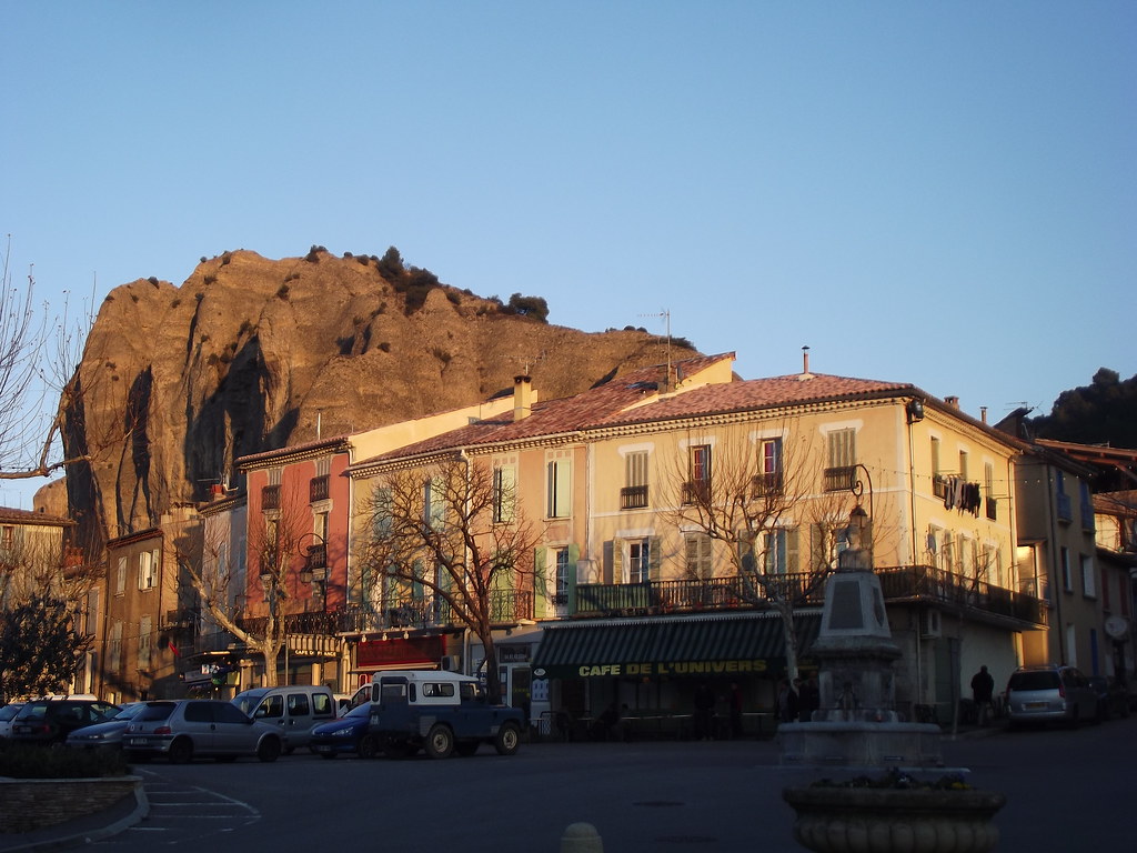
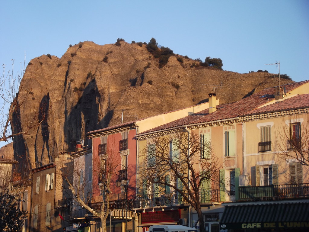
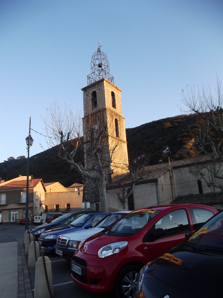
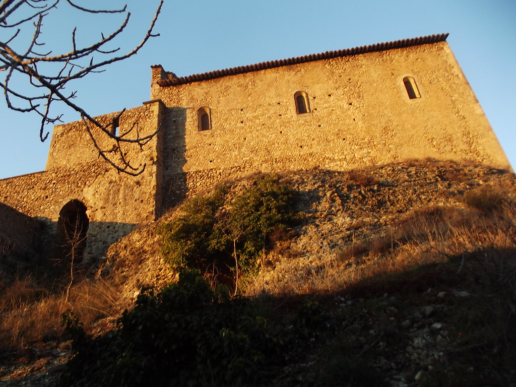
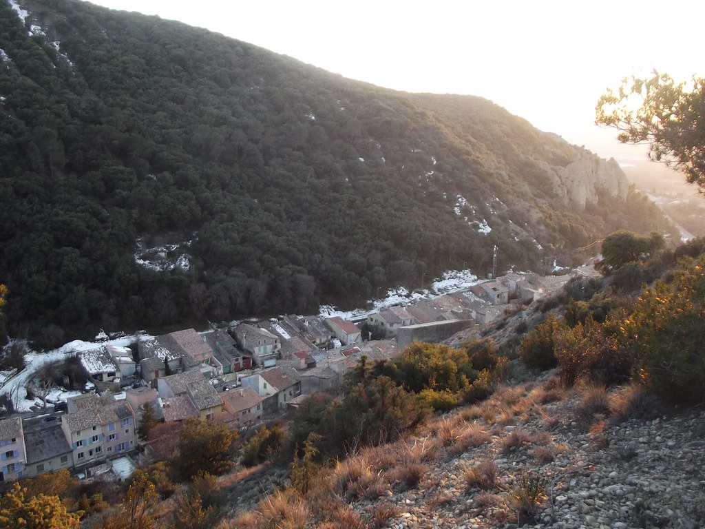
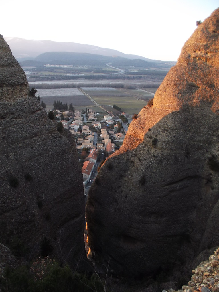
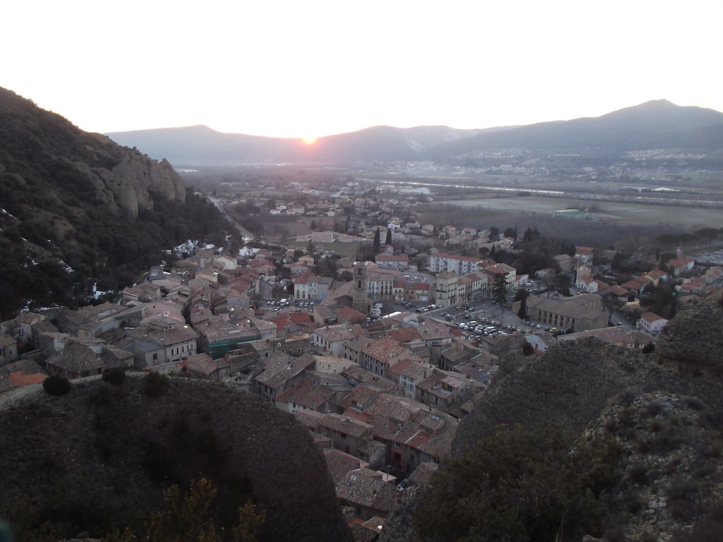
Photos Entrevennes
|
See all photos of Entrevennes :
Other photos of Entrevennes and nearby towns can be found here: photos Entrevennes
|
|
Entrevennes weather forecast
Find next hours and 7 days weather forecast for Entrevennes here : weather Entrevennes (with english metrics)
This is the last weather forecast for Entrevennes collected by the nearest observation station of Les Mées.
Week Forecast:
The latest weather data for Entrevennes were collected Monday, 30 June 2025 at 19:01 from the nearest observation station of Les Mées.
| Monday, June 30th |
34°C 20°C
51%
30%
|
Mostly clear
Temperature Max: 34°C Temperature Min: 20°C
Precipitation Probability: 51% (Rain)
Percentage of sky occluded by clouds: 30%
Wind speed: 8 km/h East
Humidity: 47%° UV Index: 9
Sunrise: 05:56 Sunset: 21:23 |
|
| | Tuesday, July 1st |
33°C 19°C
53%
42%
|
Partly cloudy
Temperature Max: 33°C Temperature Min: 19°C
Precipitation Probability: 53% (Rain)
Percentage of sky occluded by clouds: 42%
Wind speed: 6 km/h Sout-East
Humidity: 46%° UV Index: 8
Sunrise: 05:57 Sunset: 21:22 |
|
| | Wednesday, July 2nd |
31°C 19°C
45%
43%
|
Partly cloudy
Temperature Max: 31°C Temperature Min: 19°C
Precipitation Probability: 45% (Rain)
Percentage of sky occluded by clouds: 43%
Wind speed: 7 km/h South-East
Humidity: 53%° UV Index: 7
Sunrise: 05:57 Sunset: 21:22 |
|
| | Thursday, July 3rd |
32°C 18°C
53%
20%
|
Mostly clear
Temperature Max: 32°C Temperature Min: 18°C
Precipitation Probability: 53% (Rain)
Percentage of sky occluded by clouds: 20%
Wind speed: 7 km/h North
Humidity: 48%° UV Index: 9
Sunrise: 05:58 Sunset: 21:22 |
|
|
Attribution: 
|
|
Other maps, hotels and towns in france
Find another town, zip code, department, region, ...
Quick links Entrevennes :
Make a link to this page of Entrevennes with the following code :
|
|
|
 French Version : http://www.cartesfrance.fr/carte-france-ville/04077_Entrevennes.html