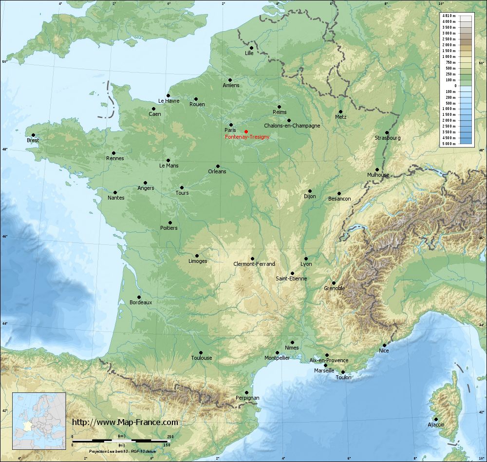
Fontenay-Trésigny on the relief France map in Lambert 93 coordinates
|
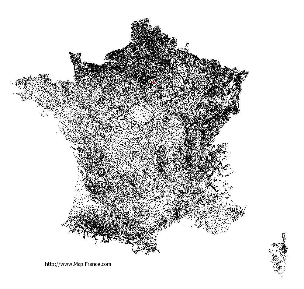
See the map of Fontenay-Trésigny in full screen (1000 x 949)
|
At left, here is the location of Fontenay-Trésigny on the relief France map in Lambert 93 coordinates.
Here are the altitudes of Fontenay-Trésigny :
- Town hall altitude of Fontenay-Trésigny is 100 meters
- Minimum altitude of Fontenay-Trésigny is 75 meters
- Maximum altitude of Fontenay-Trésigny is 123 meters
- Medium altitude of Fontenay-Trésigny is 99 meters
Here are the altitudes of Melun, prefecture of Seine-et-Marne department:
- Town hall altitude of Melun is 50 meters
- Minimum altitude of Melun is 37 meters
- Maximum altitude of Melun is 102 meters
- Medium altitude of Melun is 70 meters
Here are the altitudes of the french biggest cities:
Paris : 33 meters
Marseille : 20 meters
Lyon : 237 meters
Toulouse : 146 meters
Nice : 10 meters
Nantes : 20 meters
Strasbourg : 144 meters
Montpellier : 35 meters
Bordeaux : 16 meters
Lille : 20 meters
Rennes : 35 meters
Reims : 83 meters
Click here for the terrain map of Fontenay-Trésigny in full screen:
Relief map of Fontenay-Trésigny
|
This relief map of Fontenay-Trésigny is reusable and modifiable by making a link to this page of the Map-France.com website or by using the given code :
|
Terrain base map of Fontenay-Trésigny
|

See the terrain base map of Fontenay-Trésigny in full screen (1000 x 949)
|
Small relief base map of Fontenay-Trésigny

|
This base map of Fontenay-Trésigny is reusable and modifiable by making a link to this page of the Map-France.com website or by using the given code :
|
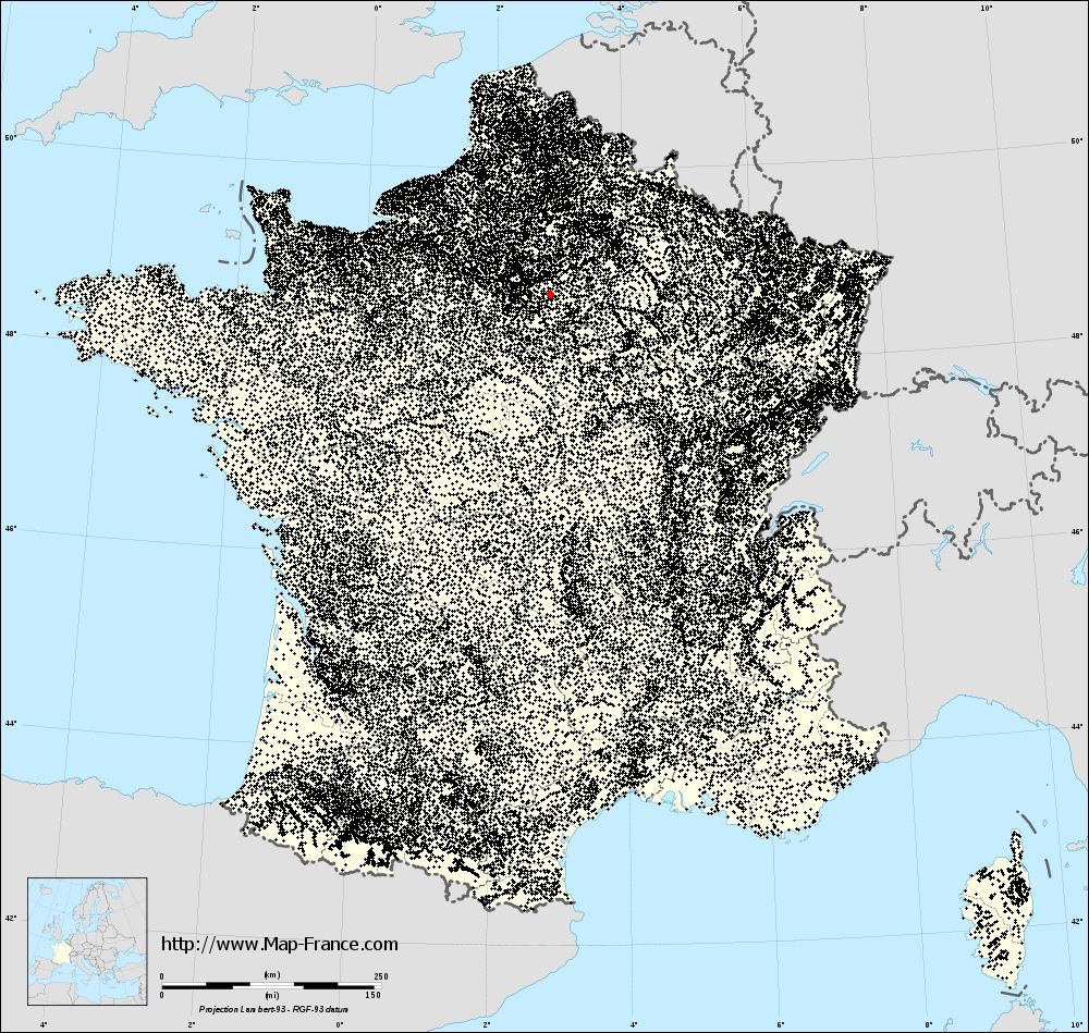
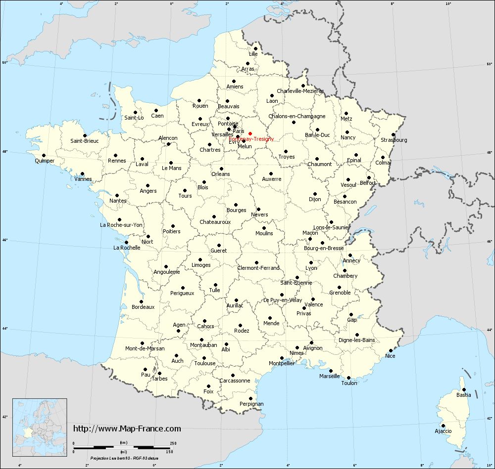
Map of Fontenay-Trésigny with regions and prefectures
|
View the map of Fontenay-Trésigny in full screen (1000 x 949)
|
You will find the location of Fontenay-Trésigny on the map of France of regions in Lambert 93 coordinates. The city of Fontenay-Trésigny is located in the department of Seine-et-Marne of the french region Île-de-France.
Geographical sexagesimal coordinates / GPS (WGS84):
Latitude: 48° 42' 27'' North
Longitude: 02° 52' 10'' East
Geographical decimal coordinates :
Latitude: 48.708 degrees (48.708° North)
Longitude: 2.864 degrees (2.864° East)
Lambert 93 coordinates :
X: 6 904 hectometers
Y: 68 453 hectometers
Lambert 2 coordinates :
X: 6 392 hectometers
Y: 24 123 hectometers
Below, the geographical coordinates of Melun, prefecture of the Seine-et-Marne department:
Geographical sexagesimal coordinates / GPS (WGS84):
Latitude: 48° 32' 23'' North
Longitude: 02° 39' 33'' East
Geographical decimal coordinates :
Latitude: 48.541 degrees (48.541° North)
Longitude: 2.657 degrees (2.657° East)
Lambert 93 coordinates :
X: 6 748 hectometers
Y: 68 267 hectometers
Lambert 2 coordinates :
X: 6 238 hectometers
Y: 23 935 hectometers
|
This map of Fontenay-Trésigny is reusable and modifiable by making a link to this page of the Map-France.com website or by using the given code :
|
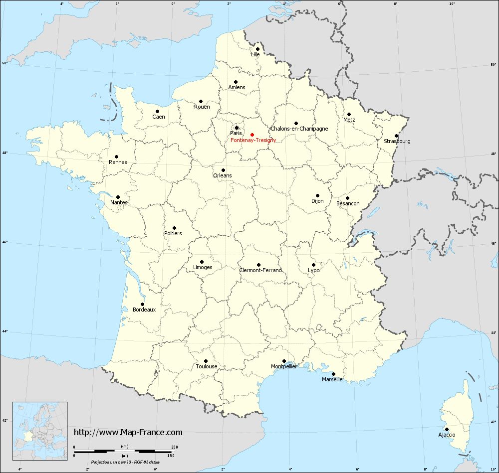
Map of Fontenay-Trésigny with departments and prefectures
|
Voir la carte of Fontenay-Trésigny en grand format (1000 x 949)
|
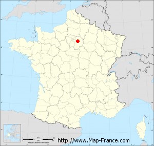
Here is the localization of Fontenay-Trésigny on the France map of departments in Lambert 93 coordinates. The city of Fontenay-Trésigny is shown on the map by a red point.
The city of Fontenay-Trésigny is located in the department of Seine-et-Marne of the french region Île-de-France.
The latitude of Fontenay-Trésigny is 48.708 degrees North.
The longitude of Fontenay-Trésigny is 2.864 degrees East.
Here the distance between Fontenay-Trésigny and the biggest cities of France:
Distances are calculated as the crow flies (orthodromic distance)
Distance between Fontenay-Trésigny and Paris : 41.59 kilometers
Distance between Fontenay-Trésigny and Marseille : 632.04 kilometers
Distance between Fontenay-Trésigny and Lyon : 359.64 kilometers
Distance between Fontenay-Trésigny and Toulouse : 577.79 kilometers
Distance between Fontenay-Trésigny and Nice : 650.24 kilometers
Distance between Fontenay-Trésigny and Nantes : 367.87 kilometers
Distance between Fontenay-Trésigny and Strasbourg : 359.29 kilometers
Distance between Fontenay-Trésigny and Montpellier : 571.78 kilometers
Distance between Fontenay-Trésigny and Bordeaux : 502.71 kilometers
Distance between Fontenay-Trésigny and Lille : 213.78 kilometers
Distance between Fontenay-Trésigny and Rennes : 341.68 kilometers
Distance between Fontenay-Trésigny and Reims : 104.81 kilometers
Clic here to see the map of Fontenay-Trésigny in full screen:
Fontenay-Trésigny on the map of french departments
|
This administrative map of Fontenay-Trésigny is reusable and modifiable by making a link to this page of the Map-France.com website or by using the given code :
|
Administrative base maps of Fontenay-Trésigny
|

See the administrative base map of Fontenay-Trésigny in full screen (1000 x 949)
|
Small administrative base map of Fontenay-Trésigny
|
This base map administrative of Fontenay-Trésigny is reusable and modifiable by making a link to this page of the Map-France.com website or by using the given code :
|
 French Version : http://www.cartesfrance.fr