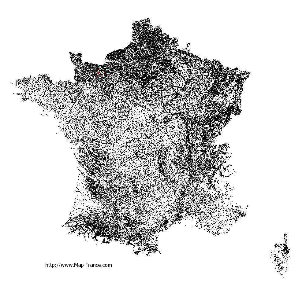
Grainville-Langannerie on the relief France map in Lambert 93 coordinates
|

See the map of Grainville-Langannerie in full screen (1000 x 949)
|
At left, here is the location of Grainville-Langannerie on the relief France map in Lambert 93 coordinates.
Here are the altitudes of Grainville-Langannerie :
- Town hall altitude of Grainville-Langannerie is 120 meters
- Minimum altitude of Grainville-Langannerie is 101 meters
- Maximum altitude of Grainville-Langannerie is 175 meters
- Medium altitude of Grainville-Langannerie is 138 meters
Here are the altitudes of Caen, prefecture of Calvados department:
- Town hall altitude of Caen is 25 meters
- Minimum altitude of Caen is 2 meters
- Maximum altitude of Caen is 73 meters
- Medium altitude of Caen is 38 meters
Here are the altitudes of the french biggest cities:
Paris : 33 meters
Marseille : 20 meters
Lyon : 237 meters
Toulouse : 146 meters
Nice : 10 meters
Nantes : 20 meters
Strasbourg : 144 meters
Montpellier : 35 meters
Bordeaux : 16 meters
Lille : 20 meters
Rennes : 35 meters
Reims : 83 meters
Click here for the terrain map of Grainville-Langannerie in full screen:
Relief map of Grainville-Langannerie
|
This relief map of Grainville-Langannerie is reusable and modifiable by making a link to this page of the Map-France.com website or by using the given code :
|
Terrain base map of Grainville-Langannerie
|

See the terrain base map of Grainville-Langannerie in full screen (1000 x 949)
|
Small relief base map of Grainville-Langannerie
|
This base map of Grainville-Langannerie is reusable and modifiable by making a link to this page of the Map-France.com website or by using the given code :
|
Map of Grainville-Langannerie with regions and prefectures
|
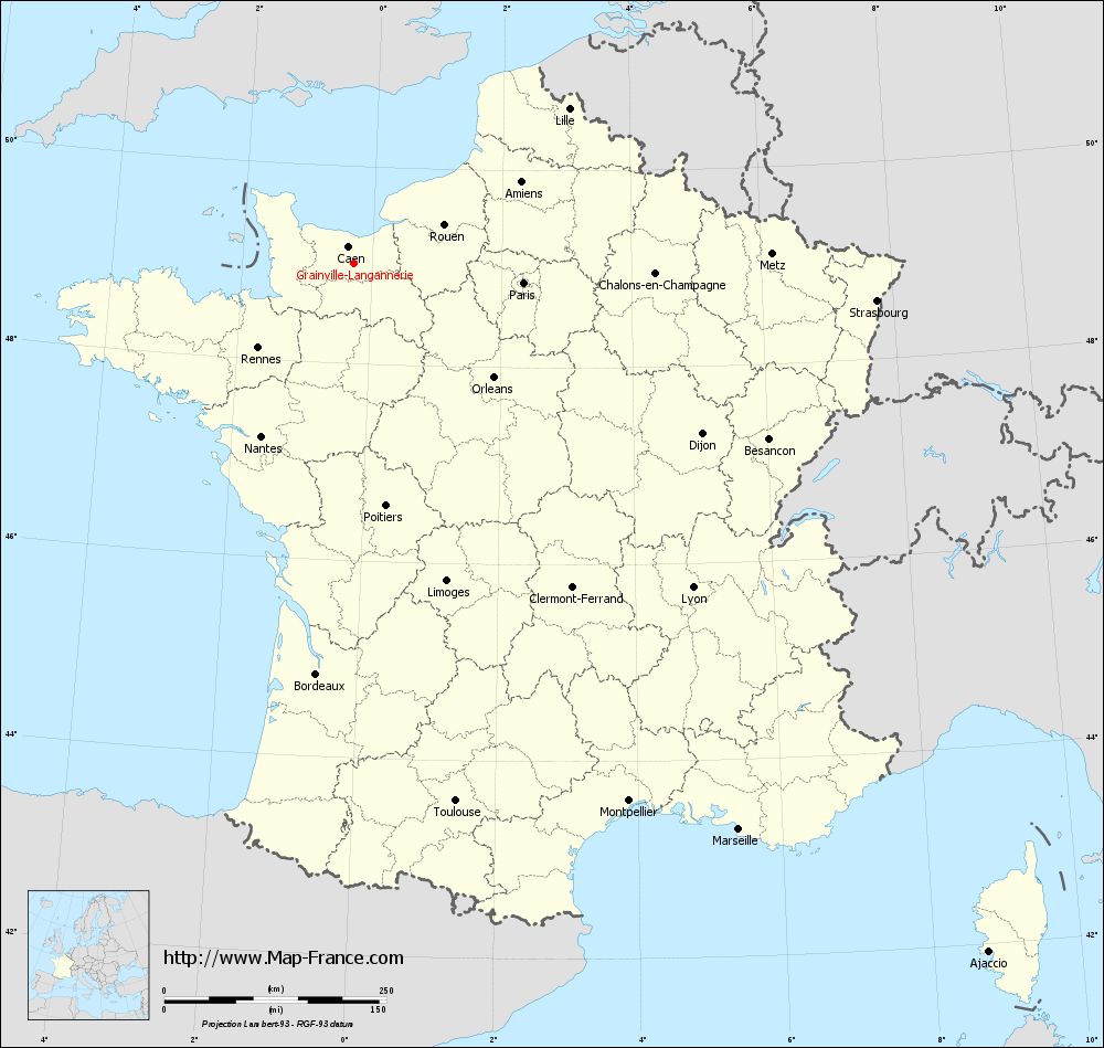
View the map of Grainville-Langannerie in full screen (1000 x 949)
|
You will find the location of Grainville-Langannerie on the map of France of regions in Lambert 93 coordinates. The town of Grainville-Langannerie is located in the department of Calvados of the french region Basse-Normandie.
Geographical sexagesimal coordinates / GPS (WGS84):
Latitude: 49° 00' 42'' North
Longitude: 00° 16' 23'' West
Geographical decimal coordinates :
Latitude: 49.012 degrees (49.012° North)
Longitude: -0.271 degrees (0.271° West)
Lambert 93 coordinates :
X: 4 606 hectometers
Y: 68 841 hectometers
Lambert 2 coordinates :
X: 4 090 hectometers
Y: 24 491 hectometers
Below, the geographical coordinates of Caen, prefecture of the Calvados department:
Geographical sexagesimal coordinates / GPS (WGS84):
Latitude: 49° 10' 56'' North
Longitude: 00° 22' 14'' West
Geographical decimal coordinates :
Latitude: 49.184 degrees (49.184° North)
Longitude: -0.36 degrees (0.36° West)
Lambert 93 coordinates :
X: 4 543 hectometers
Y: 69 033 hectometers
Lambert 2 coordinates :
X: 4 025 hectometers
Y: 24 683 hectometers
|
This map of Grainville-Langannerie is reusable and modifiable by making a link to this page of the Map-France.com website or by using the given code :
|
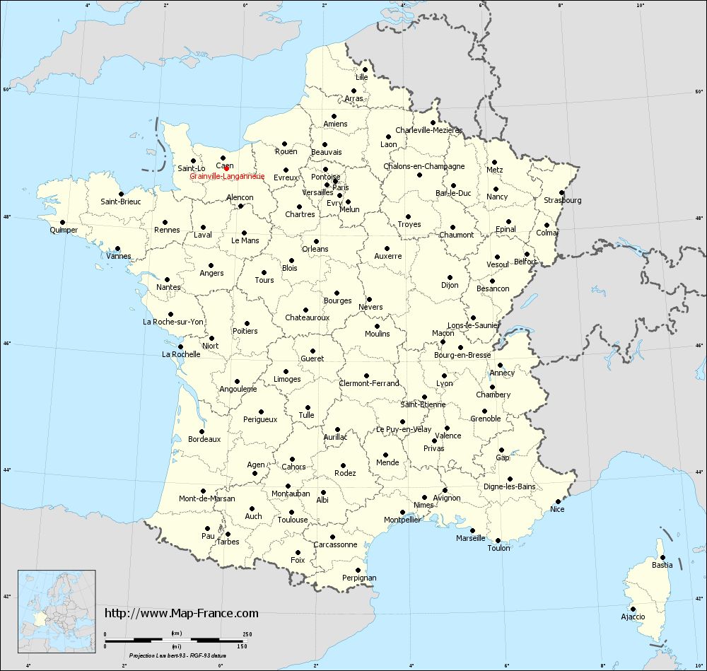
Map of Grainville-Langannerie with departments and prefectures
|
Voir la carte of Grainville-Langannerie en grand format (1000 x 949)
|
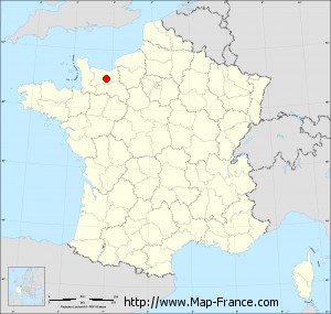
Here is the localization of Grainville-Langannerie on the France map of departments in Lambert 93 coordinates. The city of Grainville-Langannerie is shown on the map by a red point.
The town of Grainville-Langannerie is located in the department of Calvados of the french region Basse-Normandie.
The latitude of Grainville-Langannerie is 49.012 degrees North.
The longitude of Grainville-Langannerie is 0.271 degrees West.
Here the distance between Grainville-Langannerie and the biggest cities of France:
Distances are calculated as the crow flies (orthodromic distance)
Distance between Grainville-Langannerie and Paris : 191.68 kilometers
Distance between Grainville-Langannerie and Marseille : 769.92 kilometers
Distance between Grainville-Langannerie and Lyon : 527.07 kilometers
Distance between Grainville-Langannerie and Toulouse : 615.56 kilometers
Distance between Grainville-Langannerie and Nice : 824.53 kilometers
Distance between Grainville-Langannerie and Nantes : 220.73 kilometers
Distance between Grainville-Langannerie and Strasbourg : 589.07 kilometers
Distance between Grainville-Langannerie and Montpellier : 679.1 kilometers
Distance between Grainville-Langannerie and Bordeaux : 463.73 kilometers
Distance between Grainville-Langannerie and Lille : 297.83 kilometers
Distance between Grainville-Langannerie and Rennes : 144.32 kilometers
Distance between Grainville-Langannerie and Reims : 313.88 kilometers
Clic here to see the map of Grainville-Langannerie in full screen:
Grainville-Langannerie on the map of french departments
|
This administrative map of Grainville-Langannerie is reusable and modifiable by making a link to this page of the Map-France.com website or by using the given code :
|
Administrative base maps of Grainville-Langannerie
|

See the administrative base map of Grainville-Langannerie in full screen (1000 x 949)
|
Small administrative base map of Grainville-Langannerie
|
This base map administrative of Grainville-Langannerie is reusable and modifiable by making a link to this page of the Map-France.com website or by using the given code :
|
 French Version : http://www.cartesfrance.fr