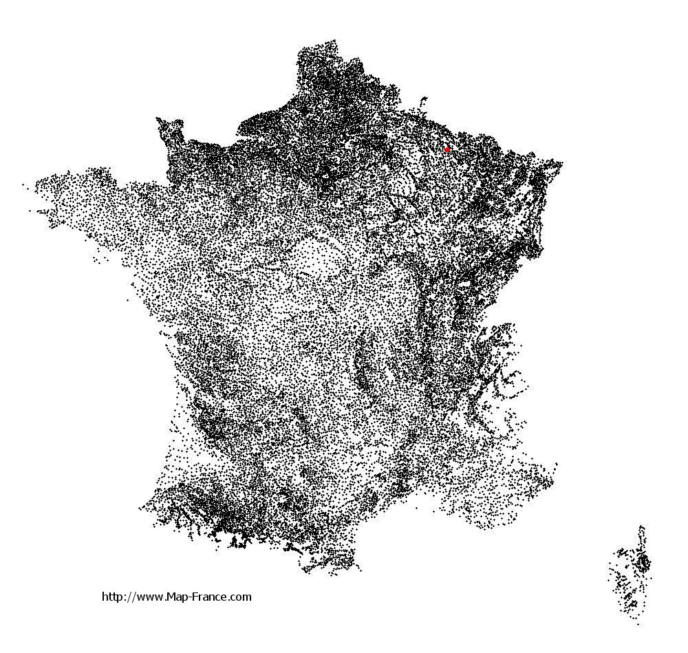
Haumont-près-Samogneux on the relief France map in Lambert 93 coordinates
|

See the map of Haumont-près-Samogneux in full screen (1000 x 949)
|
At left, here is the location of Haumont-près-Samogneux on the relief France map in Lambert 93 coordinates.
Here are the altitudes of Haumont-près-Samogneux :
- Town hall altitude of Haumont-près-Samogneux is 260 meters
- Minimum altitude of Haumont-près-Samogneux is 194 meters
- Maximum altitude of Haumont-près-Samogneux is 355 meters
- Medium altitude of Haumont-près-Samogneux is 275 meters
Here are the altitudes of Bar-le-Duc, prefecture of Meuse department:
- Town hall altitude of Bar-le-Duc is 220 meters
- Minimum altitude of Bar-le-Duc is 175 meters
- Maximum altitude of Bar-le-Duc is 327 meters
- Medium altitude of Bar-le-Duc is 251 meters
Here are the altitudes of the french biggest cities:
Paris : 33 meters
Marseille : 20 meters
Lyon : 237 meters
Toulouse : 146 meters
Nice : 10 meters
Nantes : 20 meters
Strasbourg : 144 meters
Montpellier : 35 meters
Bordeaux : 16 meters
Lille : 20 meters
Rennes : 35 meters
Reims : 83 meters
Click here for the terrain map of Haumont-près-Samogneux in full screen:
Relief map of Haumont-près-Samogneux
|
This relief map of Haumont-près-Samogneux is reusable and modifiable by making a link to this page of the Map-France.com website or by using the given code :
|
Terrain base map of Haumont-près-Samogneux
|

See the terrain base map of Haumont-près-Samogneux in full screen (1000 x 949)
|
Small relief base map of Haumont-près-Samogneux

|
This base map of Haumont-près-Samogneux is reusable and modifiable by making a link to this page of the Map-France.com website or by using the given code :
|
Map of Haumont-près-Samogneux with regions and prefectures
|
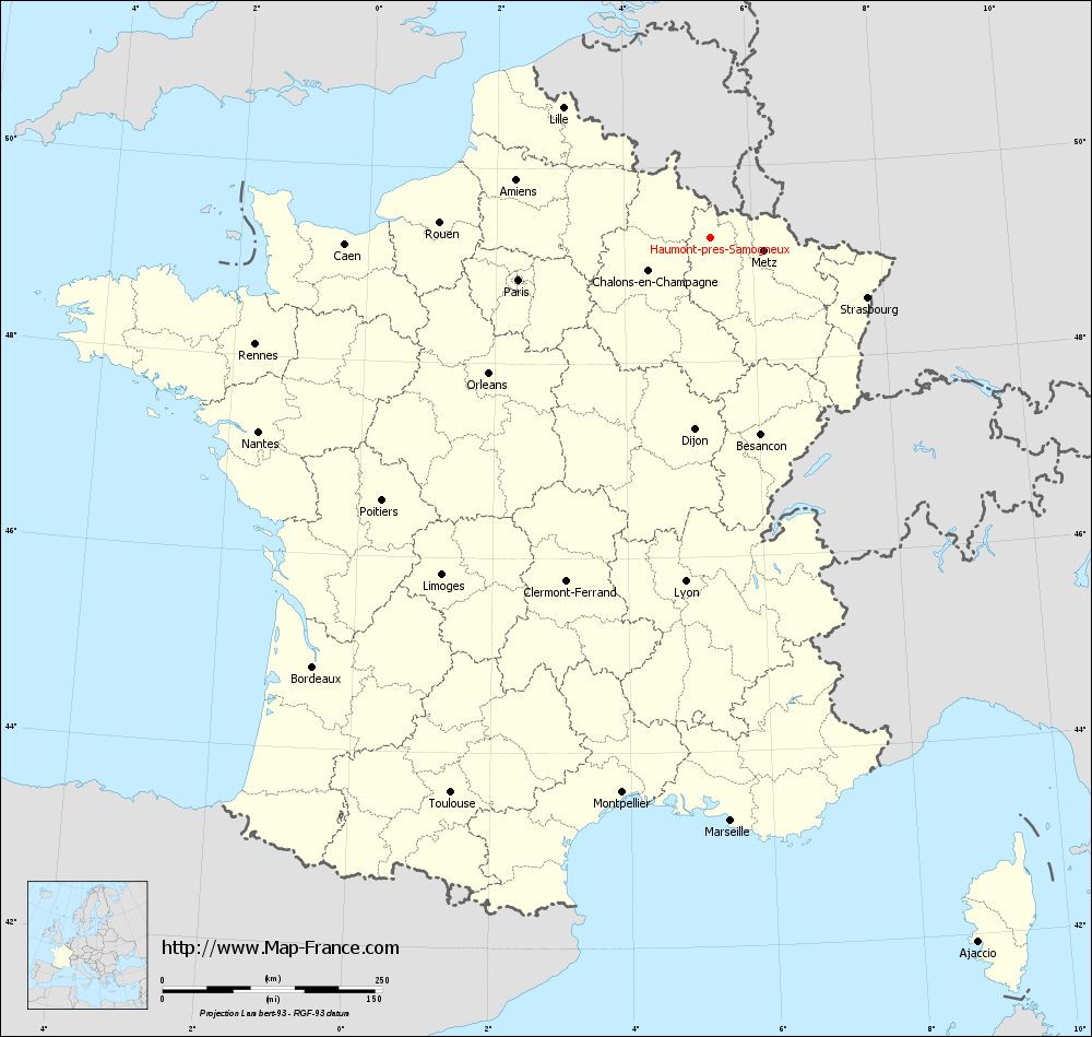
View the map of Haumont-près-Samogneux in full screen (1000 x 949)
|
You will find the location of Haumont-près-Samogneux on the map of France of regions in Lambert 93 coordinates. The town of Haumont-près-Samogneux is located in the department of Meuse of the french region Lorraine.
Geographical sexagesimal coordinates / GPS (WGS84):
Latitude: 49° 16' 22'' North
Longitude: 05° 21' 09'' East
Geographical decimal coordinates :
Latitude: 49.274 degrees (49.274° North)
Longitude: 5.353 degrees (5.353° East)
Lambert 93 coordinates :
X: 8 712 hectometers
Y: 69 107 hectometers
Lambert 2 coordinates :
X: 8 196 hectometers
Y: 24 792 hectometers
Below, the geographical coordinates of Bar-le-Duc, prefecture of the Meuse department:
Geographical sexagesimal coordinates / GPS (WGS84):
Latitude: 48° 46' 18'' North
Longitude: 05° 10' 02'' East
Geographical decimal coordinates :
Latitude: 48.771 degrees (48.771° North)
Longitude: 5.173 degrees (5.173° East)
Lambert 93 coordinates :
X: 8 593 hectometers
Y: 68 546 hectometers
Lambert 2 coordinates :
X: 8 081 hectometers
Y: 24 230 hectometers
|
This map of Haumont-près-Samogneux is reusable and modifiable by making a link to this page of the Map-France.com website or by using the given code :
|
Map of Haumont-près-Samogneux with departments and prefectures
|
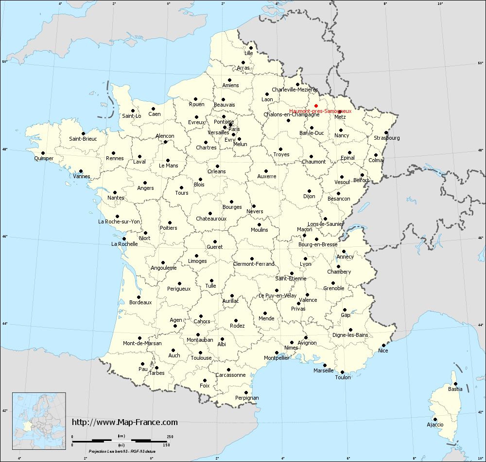
Voir la carte of Haumont-près-Samogneux en grand format (1000 x 949)
|
Here is the localization of Haumont-près-Samogneux on the France map of departments in Lambert 93 coordinates. The city of Haumont-près-Samogneux is shown on the map by a red point.
The town of Haumont-près-Samogneux is located in the department of Meuse of the french region Lorraine.
The latitude of Haumont-près-Samogneux is 49.274 degrees North.
The longitude of Haumont-près-Samogneux is 5.353 degrees East.
Here the distance between Haumont-près-Samogneux and the biggest cities of France:
Distances are calculated as the crow flies (orthodromic distance)
Distance between Haumont-près-Samogneux and Paris : 223.65 kilometers
Distance between Haumont-près-Samogneux and Marseille : 664.03 kilometers
Distance between Haumont-près-Samogneux and Lyon : 392.37 kilometers
Distance between Haumont-près-Samogneux and Toulouse : 697.41 kilometers
Distance between Haumont-près-Samogneux and Nice : 635.56 kilometers
Distance between Haumont-près-Samogneux and Nantes : 559.44 kilometers
Distance between Haumont-près-Samogneux and Strasbourg : 191.38 kilometers
Distance between Haumont-près-Samogneux and Montpellier : 639.49 kilometers
Distance between Haumont-près-Samogneux and Bordeaux : 665.69 kilometers
Distance between Haumont-près-Samogneux and Lille : 223.29 kilometers
Distance between Haumont-près-Samogneux and Rennes : 531.65 kilometers
Distance between Haumont-près-Samogneux and Reims : 95.83 kilometers
Clic here to see the map of Haumont-près-Samogneux in full screen:
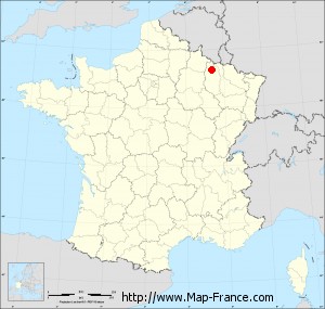
Haumont-près-Samogneux on the map of french departments
|
This administrative map of Haumont-près-Samogneux is reusable and modifiable by making a link to this page of the Map-France.com website or by using the given code :
|
Administrative base maps of Haumont-près-Samogneux
|

See the administrative base map of Haumont-près-Samogneux in full screen (1000 x 949)
|
Small administrative base map of Haumont-près-Samogneux
|
This base map administrative of Haumont-près-Samogneux is reusable and modifiable by making a link to this page of the Map-France.com website or by using the given code :
|
 French Version : http://www.cartesfrance.fr