|
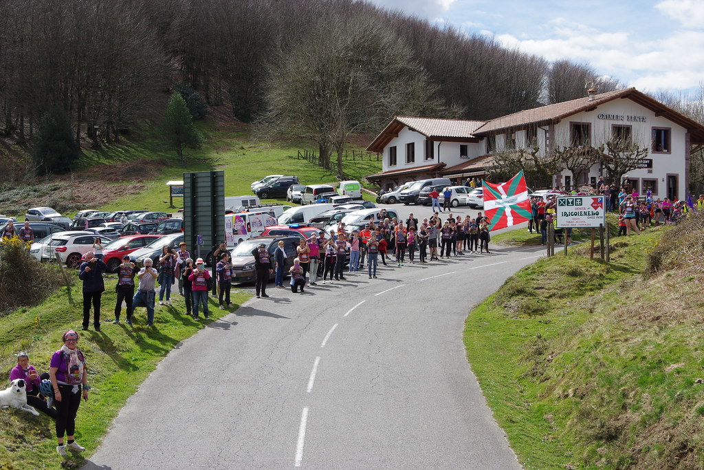
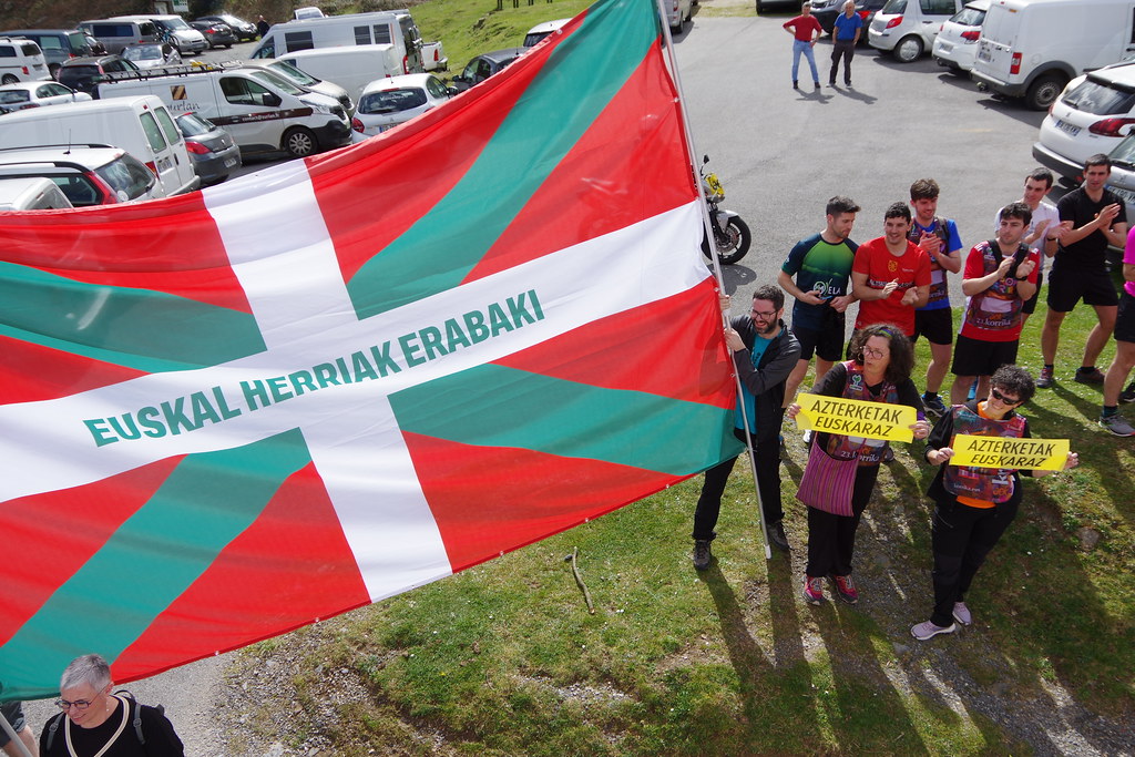
The village of Irouléguy is a small village located south west of France. The town of Irouléguy is located in the department of Pyrénées-Atlantiques of the french region Aquitaine. The town of Irouléguy is located in the township of Saint-Étienne-de-Baïgorry part of the district of Bayonne. The area code for Irouléguy is 64274 (also known as code INSEE), and the Irouléguy zip code is 64220.
Geography and map of Irouléguy :
The altitude of the city hall of Irouléguy is approximately 220 meters. The Irouléguy surface is 9.38 km ². The latitude and longitude of Irouléguy are 43.18 degrees North and 1.299 degrees West.
Nearby cities and towns of Irouléguy are :
Anhaux (64220) at 1.27 km, Ascarat (64220) at 3.65 km, Saint-Étienne-de-Baïgorry (64430) at 3.78 km, Lasse (64220) at 3.96 km, Uhart-Cize (64220) at 4.55 km, Ispoure (64220) at 5.38 km, Saint-Jean-Pied-de-Port (64220) at 5.43 km, Saint-Martin-d'Arrossa (64780) at 6.59 km.
(The distances to these nearby towns of Irouléguy are calculated as the crow flies)
Population and housing of Irouléguy :
The population of Irouléguy was 290 in 1999, 316 in 2006 and 320 in 2007. The population density of Irouléguy is 34.12 inhabitants per km². The number of housing of Irouléguy was 180 in 2007. These homes of Irouléguy consist of 123 main residences, 55 second or occasional homes and 2 vacant homes. |
|
|
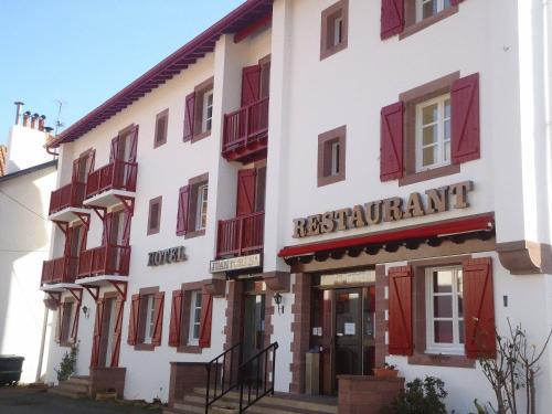
Hotel Irouléguy
|
|
|
Book now ! Best Price Guaranteed, no booking fees, pay at the hotel with our partner Booking.com, leader in online hotel reservation.
Find all hotels of Irouléguy : Hotel Irouléguy
| |
|
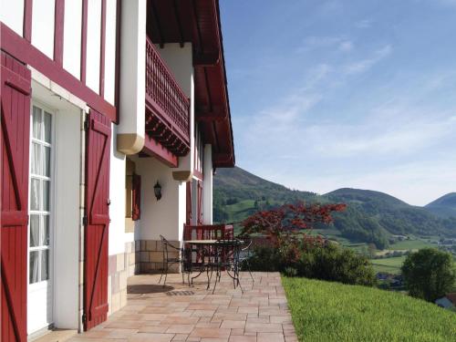
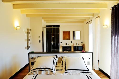
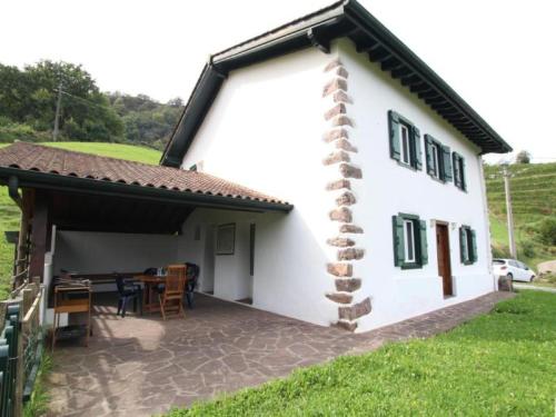
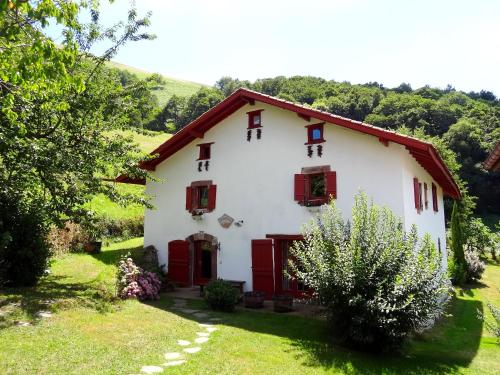
Guest accommodation : Holiday Home Anhaux with Fireplace I

Holiday Home Anhaux with Fireplace I is set in Anhaux. The property features mountain views. This holiday home is fitted with a living room and a fully equipped kitchen with a ...
Address : 64220 Anhaux
Distance Guest accommodation - Irouléguy : 1.15 km
|
|
|
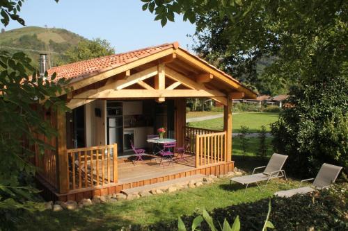
Guest accommodation : Mendi Munhoa
Located in Anhaux in the Aquitaine region, Mendi Munhoa features a terrace and mountain views. This property offers access to a balcony. This air-conditioned 3-bedroom holiday ...
Contact : Rue d'Ascarat 64220 Anhaux
Distance Guest accommodation - Irouléguy : 2.24 km
|
|
|
Guest accommodation : House Berzkinainborda 2
Contact : Quartier Osiarte 64220 Ascarat
Distance Guest accommodation - Irouléguy : 3.19 km
|
|
|
Guest accommodation : Camping Narbaitz
Set in Saint-Jean-Pied-de-Port, Camping Narbaitz provides accommodation with free WiFi. Bayonne is 50 km from the camping. The nearest airport is Biarritz Airport, 50 km from t...
Contact : Route de Bayonne 64220 Saint-Jean-Pied-de-Port
Distance Guest accommodation - Irouléguy : 3.20 km
|
|
|
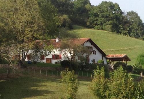
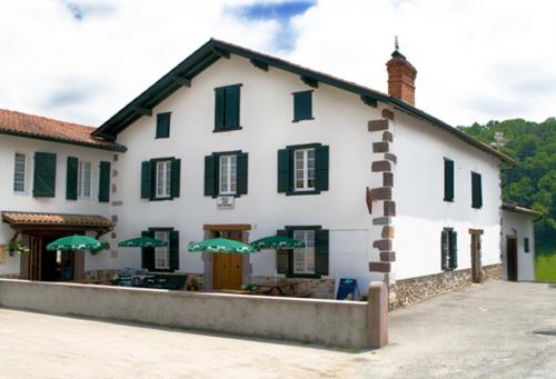
Bed and Breakfast : Maison Amestoia
This 15th-century house is set in the heart of the Basque country, 10 km from Saint-Jean-Pien-de-Port and 50 km from Biarritz and Bayonne. Maison Amestoia offers views of the su...
Address : Maison Amestoia Quartier Eyrhalde 64430 Saint-Étienne-de-Baïgorry
Distance Bed and Breakfast - Irouléguy : 3.31 km
|
|
|
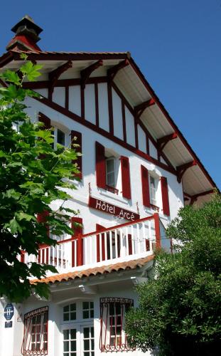
Located at the foot of the Ispéguy pass, this typical Basque style hotel offers an outdoor pool and elegant rooms either overlooking the garden, the river or the Pyrennes mounta...
Contact : Route du col d'ispeguy 64430 Saint-Étienne-de-Baïgorry
Distance Hotel - Irouléguy : 4.01 km
|
|
|
Hotel : Hôtel Juantorena
Hotel Juantorena is located in the Basque village of Saint Etienne de Baigorry, next to the Spanish border. It offers accommodation with free Wi-Fi and panoramic views of the Py...
Contact : Route de Banca 64430 Saint-Étienne-de-Baïgorry
Distance Hotel - Irouléguy : 4.02 km
|
|
|
Hotel : Hotel Etchoinia
Featuring a bar and restaurant, Hotel Etchoinia is located in Lasse, at the foot of Munhoa Mountains. Free Wi-Fi access is available, as well as free parking. The bedrooms have...
Contact : Place du Fronton 64200 Lasse
Distance Hotel - Irouléguy : 4.06 km
|
|

|
Guest accommodation : Narbaitz Vacances
Offering a heated outdoor swimming pool, a games room, a kids' club and a children's playground, Narbaitz Vacances offers eco cottages in Ascarat, 2 km from Saint-Jean-Pied-de-P...
Address : Ascarat, Route de Bayonne 64220 Saint-Jean-Pied-de-Port
Distance Guest accommodation - Irouléguy : 4.22 km
|
|
|
Bed and Breakfast : Chambres d'hôtes Idiartekoborda
Set in Saint-Étienne-de-Baïgorry, 3.1 km from Baigorry Church, Chambres d'hôtes Idiartekoborda provides accommodation with free WiFi and access to a garden. A stovetop and kett...
Contact : Route de Belexi 64430 Saint-Étienne-de-Baïgorry
Distance Bed and Breakfast - Irouléguy : 4.65 km
|
|
Find another hotel near Irouléguy : Irouléguy hotels list
|
Map of Irouléguy
|
|
Map of Irouléguy :
At right you can find the localization of Irouléguy on the map of France. Below, this is the satellite map of Irouléguy. A road map, and maps templates of Irouléguy are available here : "road map of Irouléguy". This map show Irouléguy seen by the satellite of Google Map. To see the streets of Irouléguy or move on another zone, use the buttons "zoom" and "map" on top of this dynamic map.
Search on the map of Irouléguy :
To search hotels, housings, tourist information office, administrations or other services, use the Google search integrated to the map on the following page : "map Irouléguy".
Hotels of Irouléguy are listed on the map with the following icons: 
The map of Irouléguy is centred in the following coordinates :
|

|
|
|
|
Print the map of Irouléguy

Print the map of Irouléguy : map of Irouléguy
|
Photos Irouléguy
|
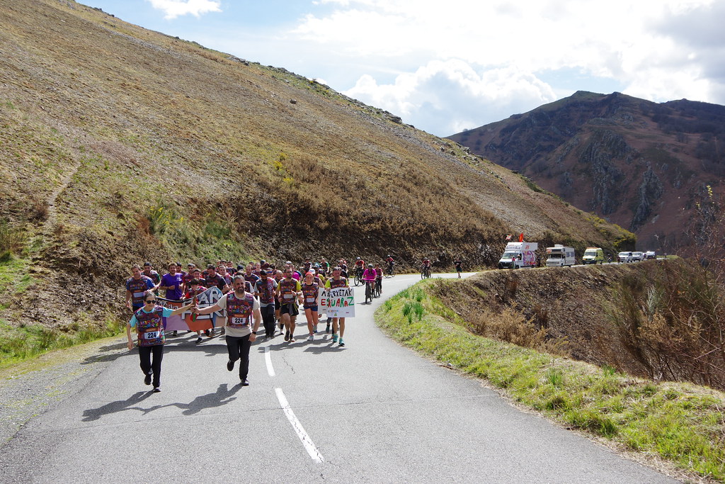
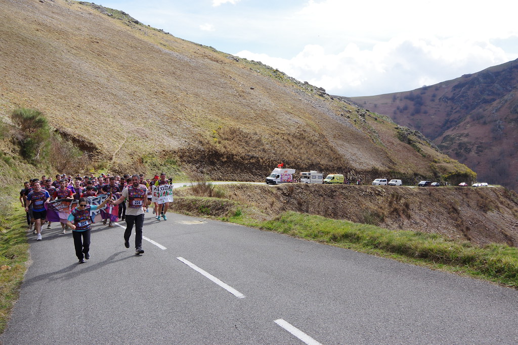
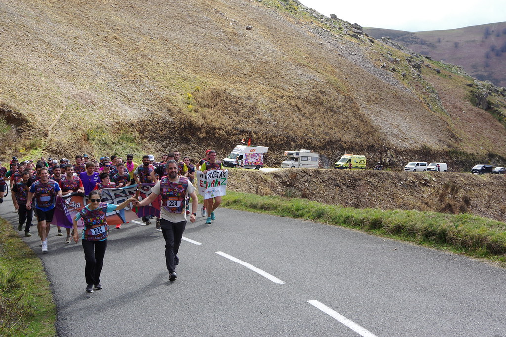
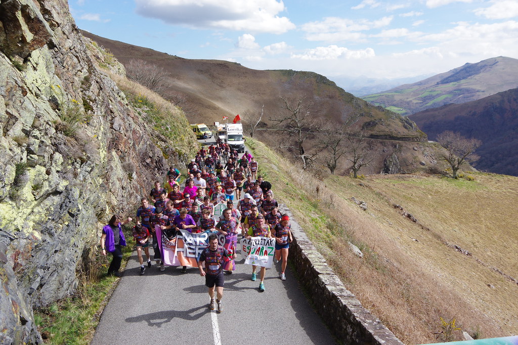
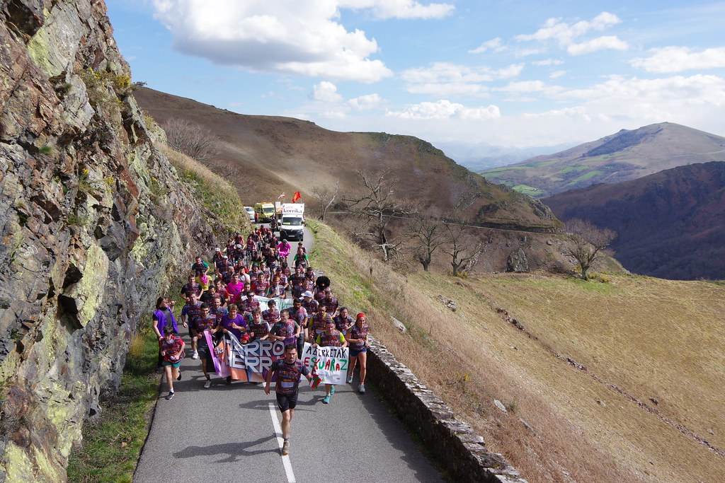
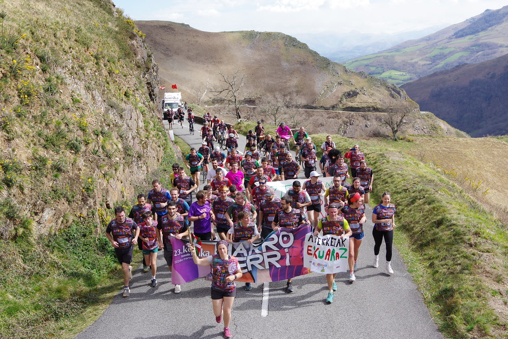
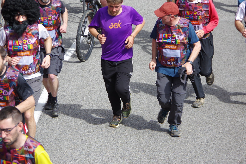
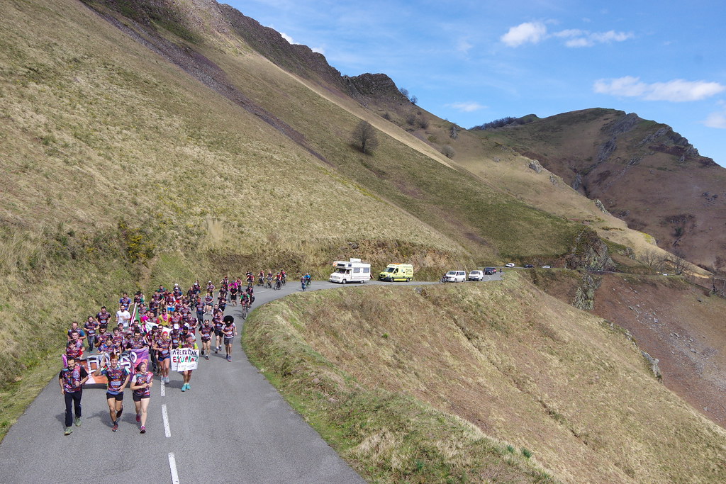
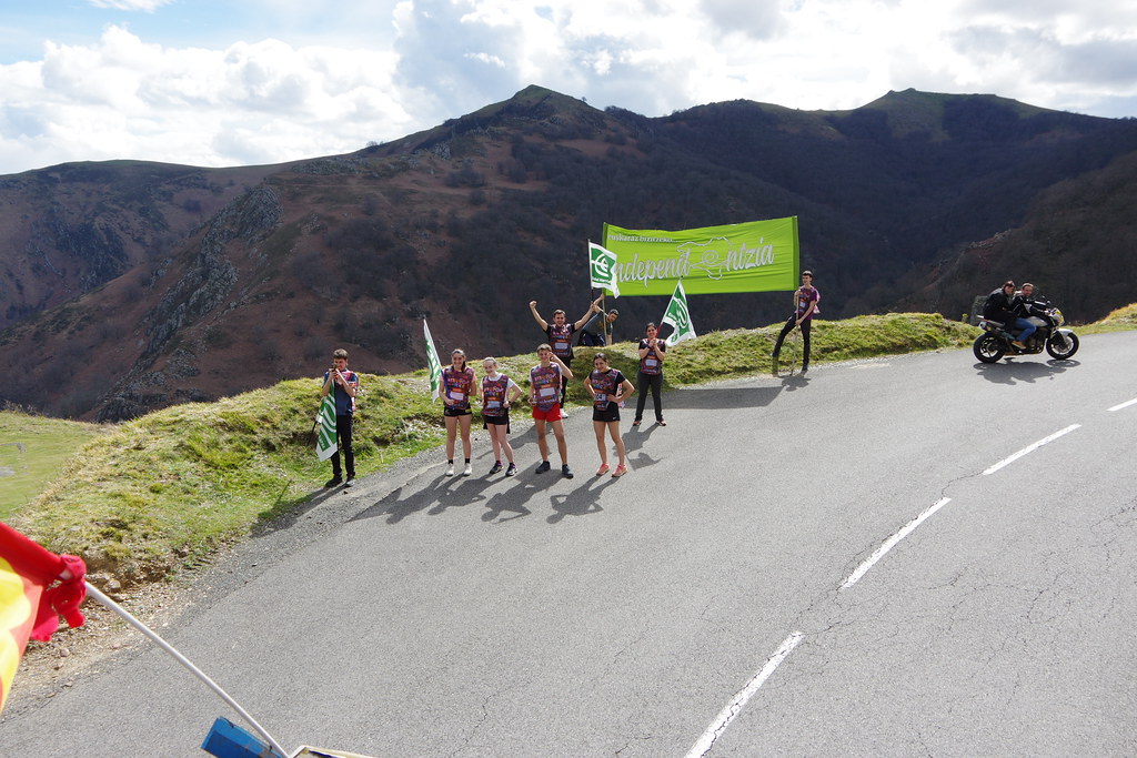
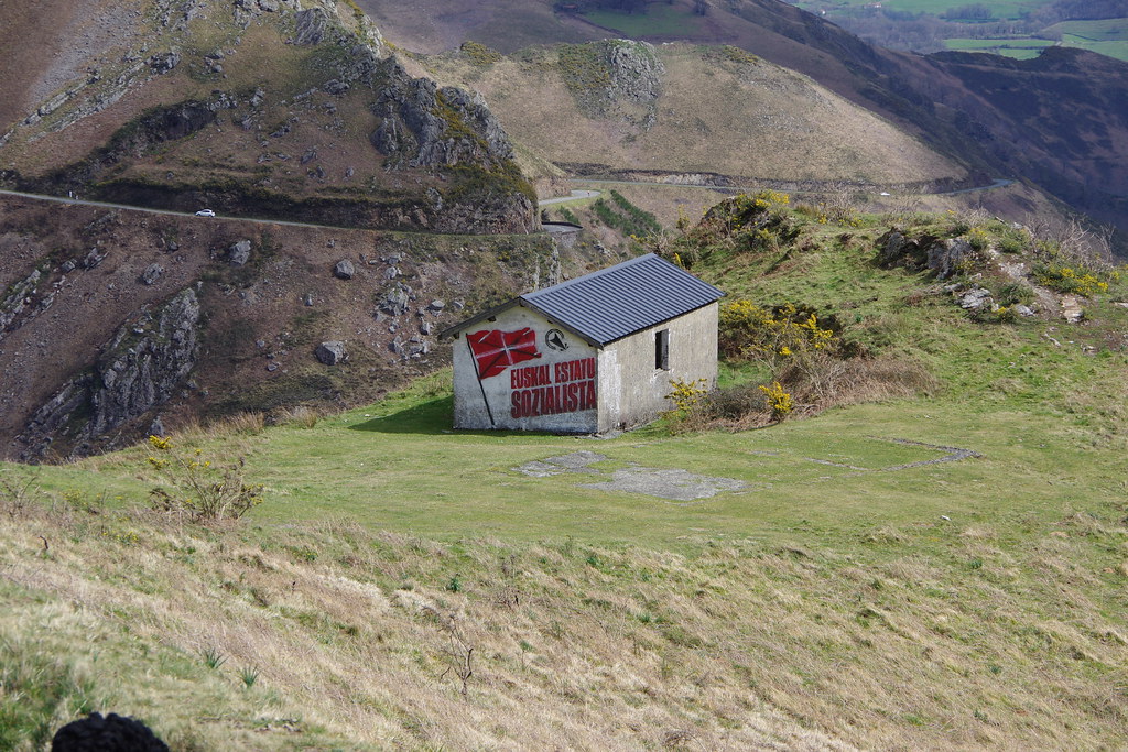
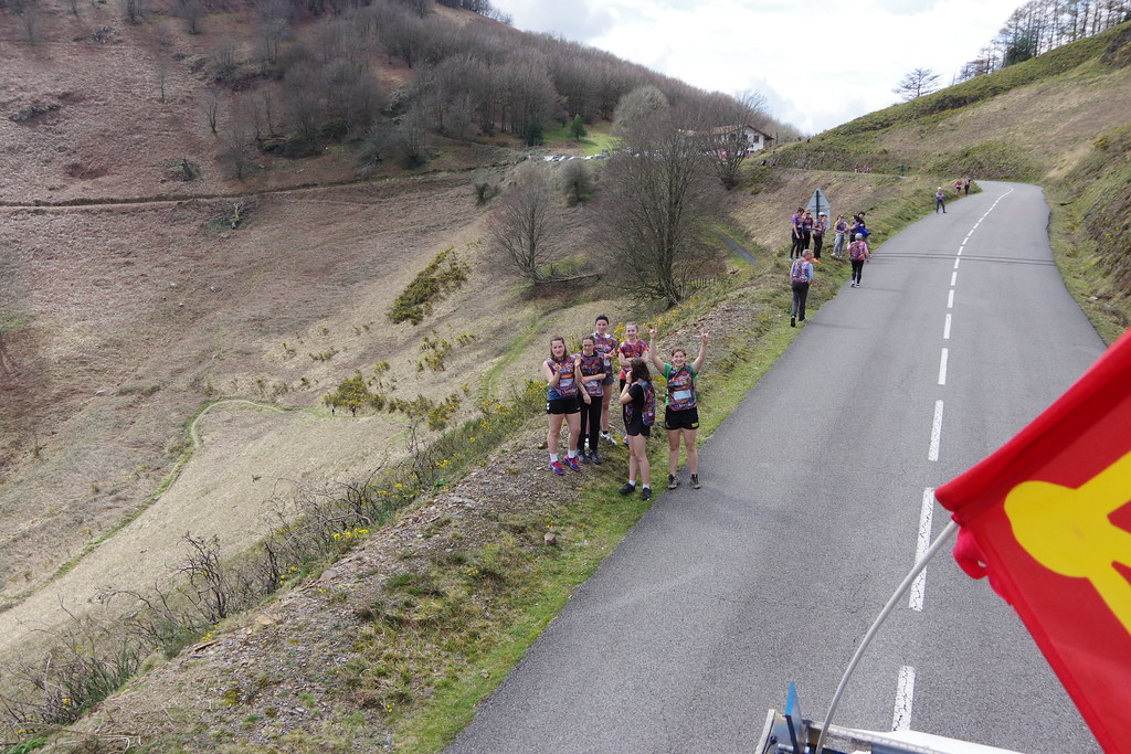
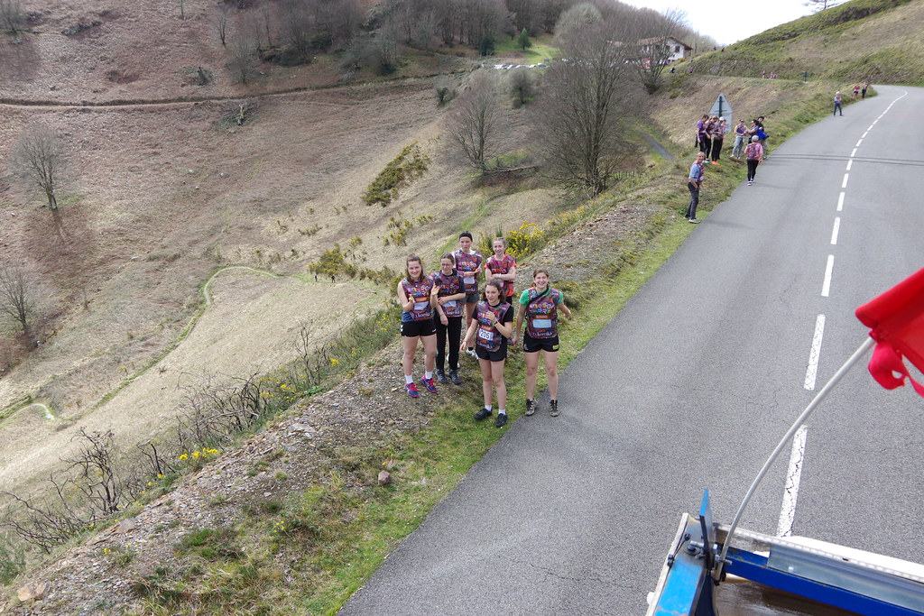
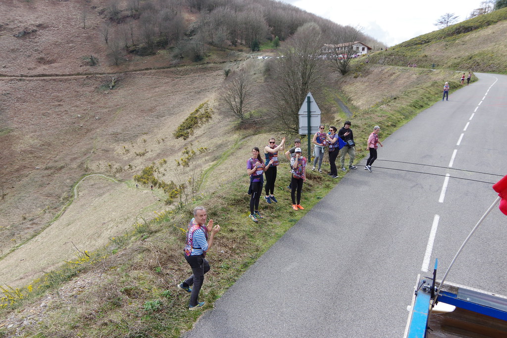
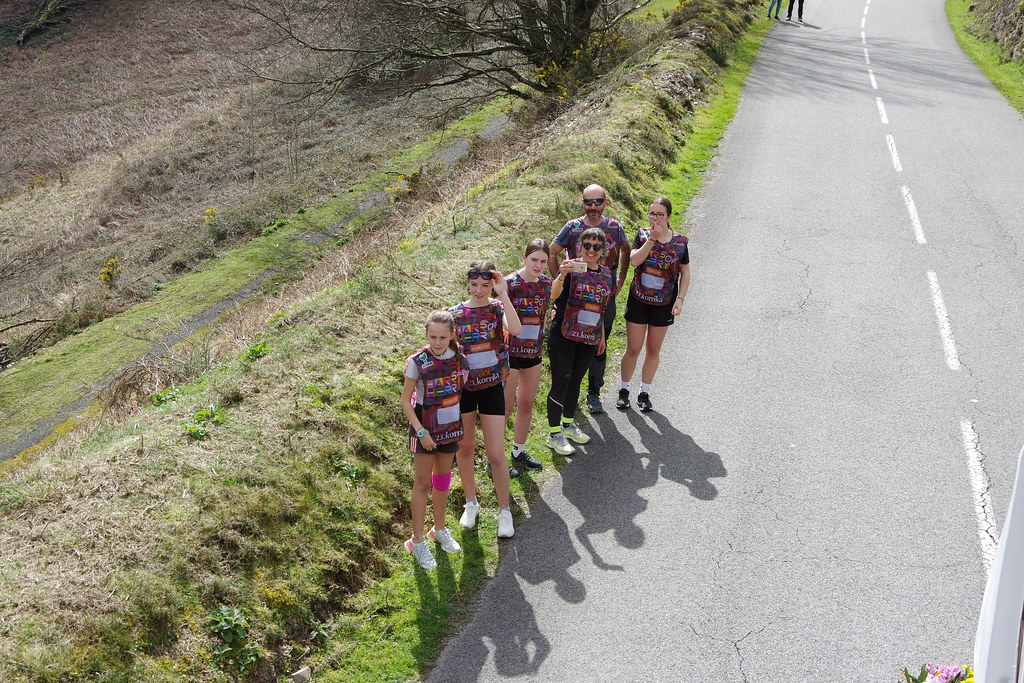
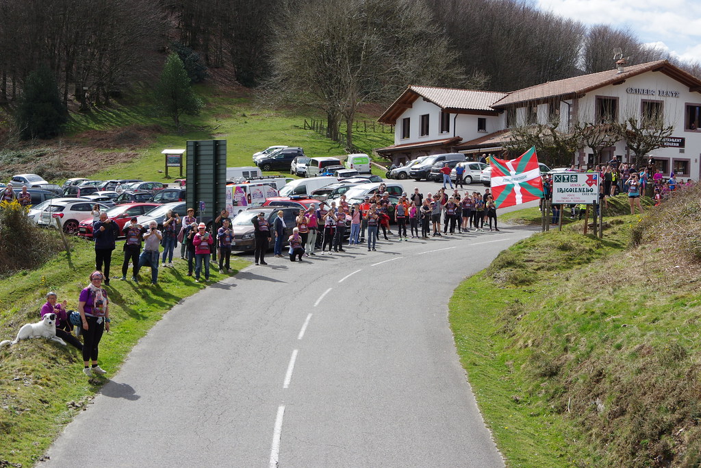
See all photos of Irouléguy :
Other photos of Irouléguy and nearby towns can be found here: photos Irouléguy
|
|
Irouléguy weather forecast
Find next hours and 7 days weather forecast for Irouléguy here : weather Irouléguy (with english metrics)
This is the last weather forecast for Irouléguy collected by the nearest observation station of Saint-Étienne-de-Baïgorry.
Week Forecast:
The latest weather data for Irouléguy were collected Thursday, 25 April 2024 at 17:00 from the nearest observation station of Saint-Étienne-de-Baïgorry.
| Thursday, April 25th |
13°C 6°C
62%
97%
|
Drizzle
Temperature Max: 13°C Temperature Min: 6°C
Precipitation Probability: 62% (Rain)
Percentage of sky occluded by clouds: 97%
Wind speed: 5 km/h East
Humidity: 79%° UV Index: 3
Sunrise: 07:07 Sunset: 21:00 |
|
| | Friday, April 26th |
16°C 8°C
72%
86%
|
Rain
Temperature Max: 16°C Temperature Min: 8°C
Precipitation Probability: 72% (Rain)
Percentage of sky occluded by clouds: 86%
Wind speed: 4 km/h East
Humidity: 72%° UV Index: 3
Sunrise: 07:05 Sunset: 21:01 |
|
| | Saturday, April 27th |
17°C 8°C
69%
60%
|
Drizzle
Temperature Max: 17°C Temperature Min: 8°C
Precipitation Probability: 69% (Rain)
Percentage of sky occluded by clouds: 60%
Wind speed: 15 km/h North
Humidity: 62%° UV Index: 4
Sunrise: 07:04 Sunset: 21:02 |
|
| | Sunday, April 28th |
16°C 5°C
49%
72%
|
Drizzle
Temperature Max: 16°C Temperature Min: 5°C
Precipitation Probability: 49% (Rain)
Percentage of sky occluded by clouds: 72%
Wind speed: 5 km/h Sout-East
Humidity: 68%° UV Index: 3
Sunrise: 07:02 Sunset: 21:03 |
|
|
Attribution: 
|
|
Other maps, hotels and towns in france
Find another town, zip code, department, region, ...
Quick links Irouléguy :
Make a link to this page of Irouléguy with the following code :
|
|
|
 French Version : http://www.cartesfrance.fr/carte-france-ville/64274_Irouleguy.html