|
The city of Laventie is a small town located north of France. The city of Laventie is located in the department of Pas-de-Calais of the french region Nord-Pas-de-Calais. The city of Laventie is located in the township of Laventie part of the district of Béthune. The area code for Laventie is 62491 (also known as code INSEE), and the Laventie zip code is 62840.
Geography and map of Laventie :
The altitude of the city hall of Laventie is approximately 17 meters. The Laventie surface is 18.13 km ². The latitude and longitude of Laventie are 50.628 degrees North and 2.77 degrees East.
Nearby cities and towns of Laventie are :
Sailly-sur-la-Lys (62840) at 3.17 km, Estaires (59940) at 3.72 km, La Gorgue (59253) at 3.84 km, Neuve-Chapelle (62840) at 4.90 km, Fleurbaix (62840) at 5.20 km, Aubers (59249) at 5.33 km, Lestrem (62136) at 6.07 km, Fromelles (59249) at 6.33 km.
(The distances to these nearby towns of Laventie are calculated as the crow flies)
Population and housing of Laventie :
The population of Laventie was 4 382 in 1999, 4 700 in 2006 and 4 745 in 2007. The population density of Laventie is 261.72 inhabitants per km². The number of housing of Laventie was 1 776 in 2007. These homes of Laventie consist of 1 692 main residences, 6 second or occasional homes and 78 vacant homes. |
|
|
Hotel Laventie
|
|
|
Book now ! Best Price Guaranteed, no booking fees, pay at the hotel with our partner Booking.com, leader in online hotel reservation.
Find all hotels of Laventie : Hotel Laventie
| |
|
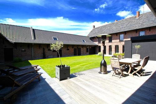
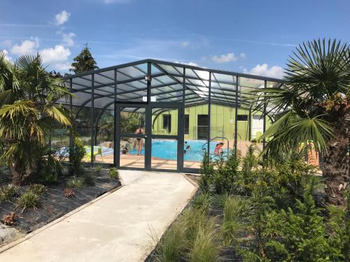
Guest accommodation : La Ferme Carrée
La Ferme Carrée is a guest house located in Laventie. The property is a 26-minute drive to Lille and a 30-minute drive to Louvre-Lens Museum. Free WiFi is featured throughout th...
Rate : from 140.00 €
to 240.00 €
Address : 4, RUE PLATE 62840 Laventie
Distance Guest accommodation - Laventie : 1.81 km
|
|
|
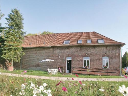
Guest accommodation : La Niche
Situated in Richebourg, La Niche provides free WiFi. Among the various facilities of this property are barbecue facilities and a garden. Guests can make use of a terrace. At th...
Price : from 55.00 €
to 95.00 €
Contact : 31/2355 RUE MARSY 62136 Richebourg
Distance Guest accommodation - Laventie : 4.07 km
|
|

|
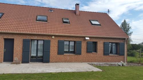
Guest accommodation : Aux Petits Bonheurs
Aux Petits Bonheurs is situated in La Gorgue. Free WiFi is available. At the guest house, rooms are fitted with a terrace with a city view. At Aux Petits Bonheurs, every room c...
Prices : from 74.00 €
to 187.00 €
Contact : 1 rue du 8 mai 59253 La Gorgue
Distance Guest accommodation - Laventie : 4.58 km
|
|
|
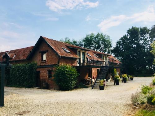
Guest accommodation : Le Camp des Roses
Located 20 km from both Lille and Lens, this campsite is set on 3 hectares of flowered gardens. On-site facilities include a playground, table tennis and a bowling pitch. Le Ca...
Contact : 60 rue Basse 59249 Aubers
Distance Guest accommodation - Laventie : 4.96 km
|
|
|
Guest accommodation : Holiday Home Ferme Les Caperies

Located in Richebourg-Saint-Vaast, 3.5 km from Neuve-Chapelle Memorial, Holiday Home Ferme Les Caperies features a living room with a TV. Lille Airport is 44 km away.
Address : 62136 Richebourg-Saint-Vaast
Distance Guest accommodation - Laventie : 5.14 km
|
|
|
Guest accommodation : Aux Herbes Hautes
Offering a barbecue and sun terrace, Aux Herbes Hautes is set in Fleurbaix, 16 km from Lille. Each room at this guest house is air conditioned and is equipped with a flat-scree...
Prices : from 87.00 €
to 210.00 €
Contact : 12 Rue des Crombions 62840 Fleurbaix
Distance Guest accommodation - Laventie : 5.34 km
|
|
|
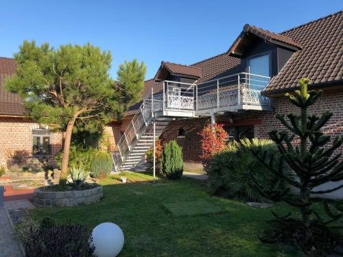
Guest accommodation : Villa Philia
Boasting accommodation with a terrace, Villa Philia is set in Vieille-Chapelle. The property features garden views. The holiday home includes 5 bedrooms, a living room, and 2 b...
Contact : 1176 Rue Marsy 62136 Vieille-Chapelle
Distance Guest accommodation - Laventie : 6.00 km
|
|
|
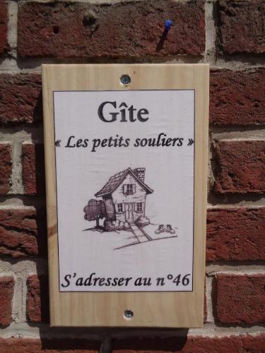
Guest accommodation : Les Petits Souliers
Offering free WiFi and garden views, Les Petits Souliers is an accommodation set in Lestrem. Guests staying at this holiday home have access to a fully equipped kitchen. The ho...
Contact : 46 Rue Du Bourg 62136 Lestrem
Distance Guest accommodation - Laventie : 6.04 km
|
|
|
Bed and Breakfast : Le Clos des Flandres
Le Clos des Flandres is located 2 km from Erquinghem-Lys, 19 km from both Lille and Ypres and 15 km from Fromelles. Free Wi-Fi access is available throughout and there is also a...
Prices : from 60.00 €
to 112.50 €
Address : 1025 rue de l'Alloeu 59193 Erquinghem-Lys
Distance Bed and Breakfast - Laventie : 6.15 km
|
|
|
Bed and Breakfast : chambre coin nature
Featuring free bikes, chambre coin nature provides accommodation in Fromelles with free WiFi and lake views. This bed and breakfast features a garden. The bed and breakfast fea...
Rate : from 45.00 €
Contact : 23 23 Rue de la Marlacque 59249 Fromelles
Distance Bed and Breakfast - Laventie : 6.52 km
|
|
Find another hotel near Laventie : Laventie hotels list
|
Map of Laventie
|
|
Map of Laventie :
At right you can find the localization of Laventie on the map of France. Below, this is the satellite map of Laventie. A road map, and maps templates of Laventie are available here : "road map of Laventie". This map show Laventie seen by the satellite of Google Map. To see the streets of Laventie or move on another zone, use the buttons "zoom" and "map" on top of this dynamic map.
Search on the map of Laventie :
To search hotels, housings, tourist information office, administrations or other services, use the Google search integrated to the map on the following page : "map Laventie".
Hotels of Laventie are listed on the map with the following icons: 
The map of Laventie is centred in the following coordinates :
|

|
|
|
|
Print the map of Laventie

Print the map of Laventie : map of Laventie
|
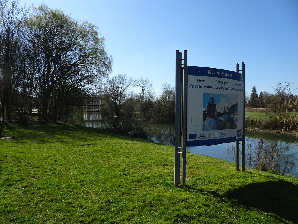
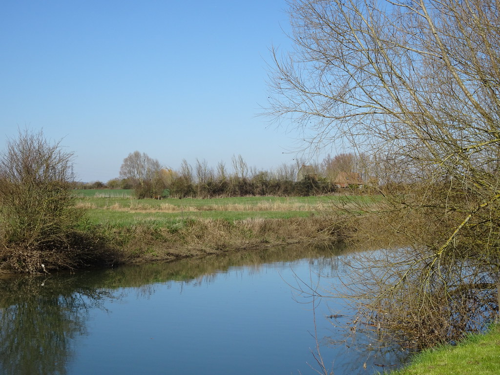
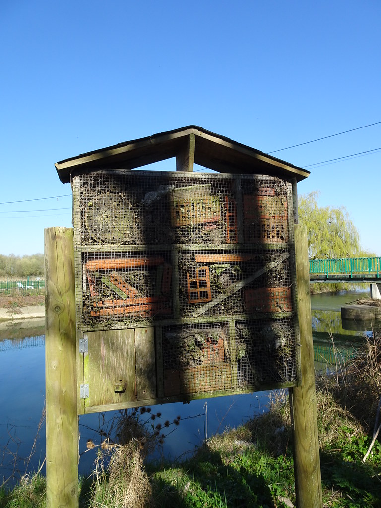
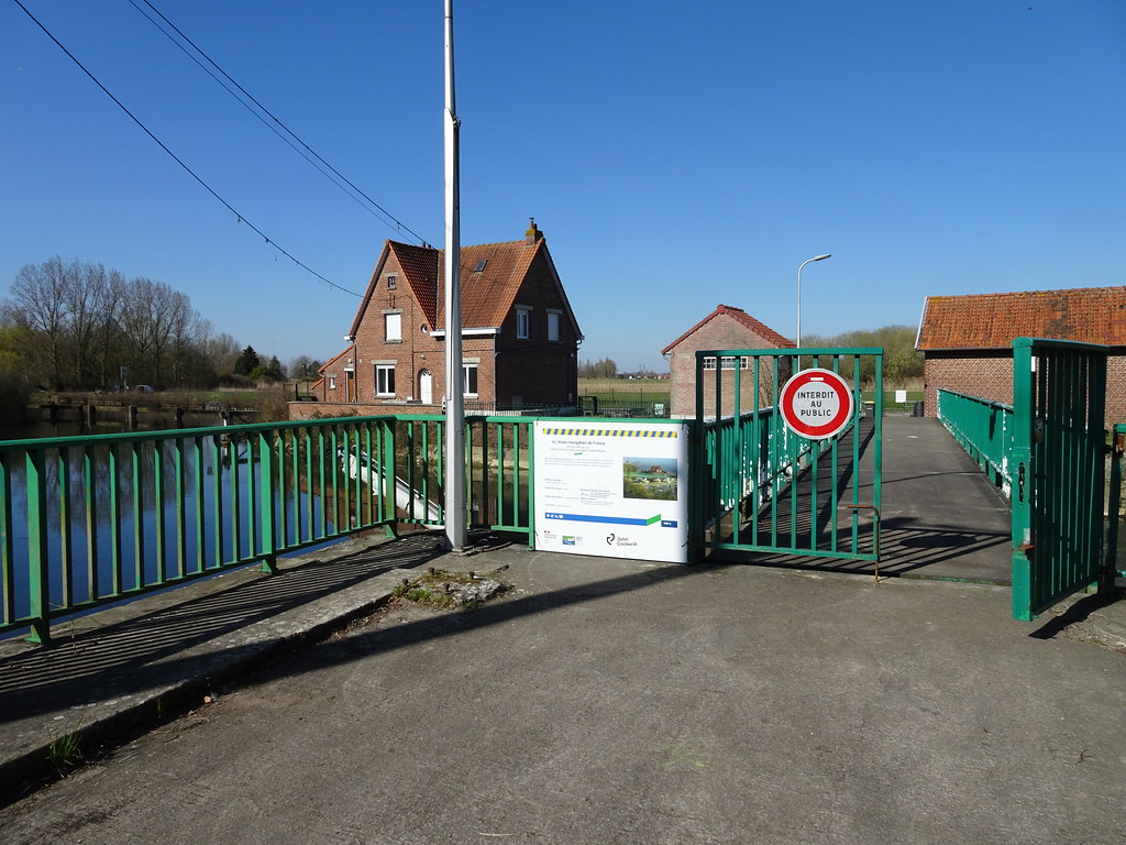
Photos Laventie
|
See all photos of Laventie :
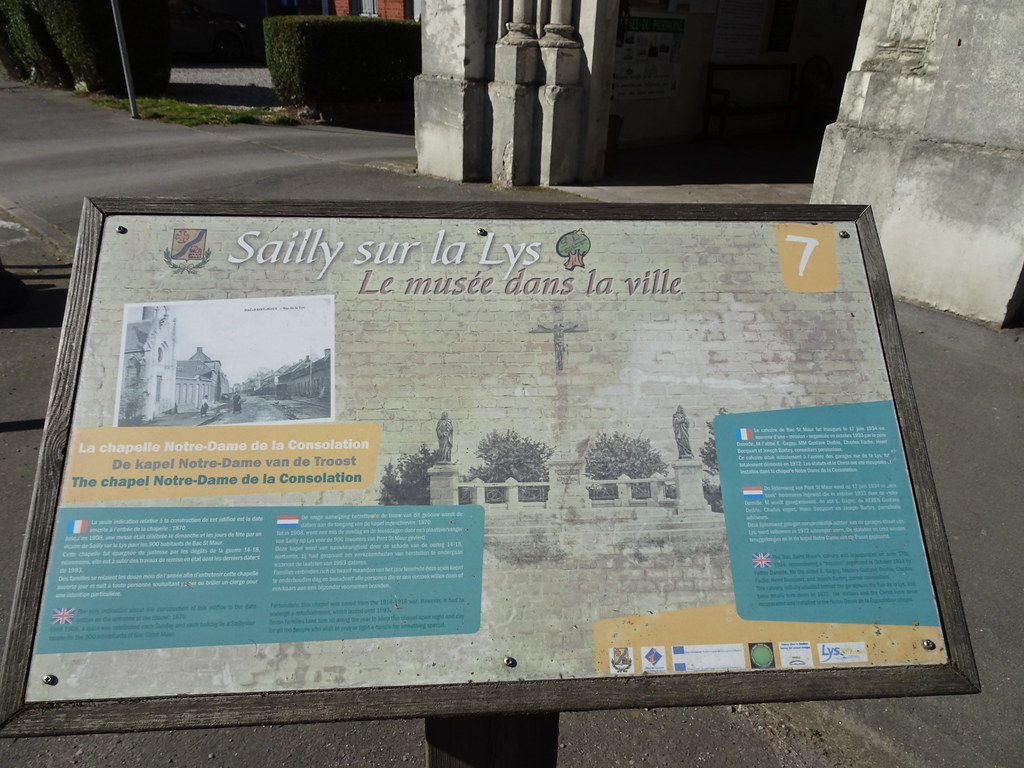
Other photos of Laventie and nearby towns can be found here: photos Laventie
|
|
Laventie weather forecast
Find next hours and 7 days weather forecast for Laventie here : weather Laventie (with english metrics)
This is the last weather forecast for Laventie collected by the nearest observation station of Laventie.
Week Forecast:
The latest weather data for Laventie were collected Friday, 18 July 2025 at 19:05 from the nearest observation station of Laventie.
| Friday, July 18th |
30°C 15°C
0%
68%
|
Mostly cloudy
Temperature Max: 30°C Temperature Min: 15°C
Precipitation Probability: 0%
Percentage of sky occluded by clouds: 68%
Wind speed: 3 km/h North-West
Humidity: 60%° UV Index: 6
Sunrise: 05:57 Sunset: 21:52 |
|
| | Saturday, July 19th |
27°C 18°C
42%
85%
|
Drizzle
Temperature Max: 27°C Temperature Min: 18°C
Precipitation Probability: 42% (Rain)
Percentage of sky occluded by clouds: 85%
Wind speed: 16 km/h North
Humidity: 60%° UV Index: 4
Sunrise: 05:58 Sunset: 21:51 |
|
| | Sunday, July 20th |
22°C 16°C
72%
84%
|
Rain
Temperature Max: 22°C Temperature Min: 16°C
Precipitation Probability: 72% (Rain)
Percentage of sky occluded by clouds: 84%
Wind speed: 19 km/h North
Humidity: 71%° UV Index: 4
Sunrise: 05:59 Sunset: 21:50 |
|
| | Monday, July 21st |
21°C 14°C
68%
76%
|
Drizzle
Temperature Max: 21°C Temperature Min: 14°C
Precipitation Probability: 68% (Rain)
Percentage of sky occluded by clouds: 76%
Wind speed: 21 km/h North-East
Humidity: 74%° UV Index: 4
Sunrise: 06:01 Sunset: 21:49 |
|
|
Attribution: 
|
|
Other maps, hotels and towns in france
Find another town, zip code, department, region, ...
Quick links Laventie :
Make a link to this page of Laventie with the following code :
|
|
|
 French Version : http://www.cartesfrance.fr/carte-france-ville/62491_Laventie.html