|
The village of Le Mesnilbus is a small village located north west of France. The town of Le Mesnilbus is located in the department of Manche of the french region Basse-Normandie. The town of Le Mesnilbus is located in the township of Saint-Sauveur-Lendelin part of the district of Coutances. The area code for Le Mesnilbus is 50308 (also known as code INSEE), and the Le Mesnilbus zip code is 50490.
Geography and map of Le Mesnilbus :
The altitude of the city hall of Le Mesnilbus is approximately 76 meters. The Le Mesnilbus surface is 4.98 km ². The latitude and longitude of Le Mesnilbus are 49.135 degrees North and 1.348 degrees West.
Nearby cities and towns of Le Mesnilbus are :
Montcuit (50490) at 1.52 km, Saint-Aubin-du-Perron (50490) at 1.85 km, Saint-Michel-de-la-Pierre (50490) at 2.57 km, Feugères (50190) at 2.67 km, Hauteville-la-Guichard (50570) at 3.47 km, Saint-Martin-d'Aubigny (50190) at 3.54 km, Saint-Sauveur-Lendelin (50490) at 4.57 km, Camprond (50210) at 5.03 km.
(The distances to these nearby towns of Le Mesnilbus are calculated as the crow flies)
Population and housing of Le Mesnilbus :
The population of Le Mesnilbus was 261 in 1999, 255 in 2006 and 262 in 2007. The population density of Le Mesnilbus is 52.61 inhabitants per km². The number of housing of Le Mesnilbus was 136 in 2007. These homes of Le Mesnilbus consist of 108 main residences, 17 second or occasional homes and 11 vacant homes. |
|
|
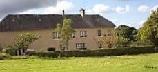
Hotel Le Mesnilbus
|
|
|
Book now ! Best Price Guaranteed, no booking fees, pay at the hotel with our partner Booking.com, leader in online hotel reservation.
Find all hotels of Le Mesnilbus : Hotel Le Mesnilbus
| |
|
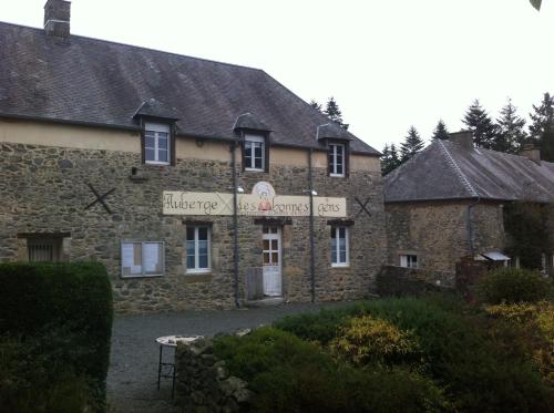
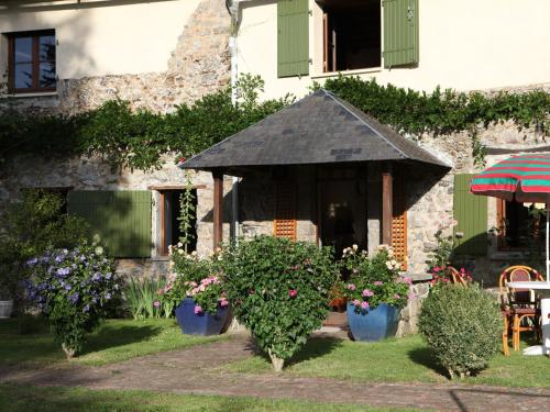
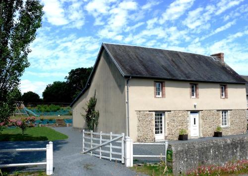
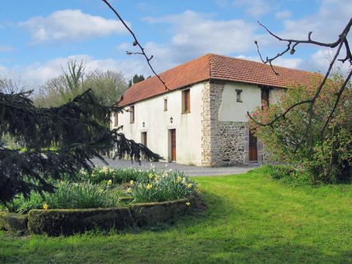
Guest accommodation : Auberge des Bonnes Gens

Located in Le Mesnilbus, Auberge des Bonnes Gens is a 30-minute drive from the sea and 26 km from Saint-Lô. It offers a terrace and an à la carte restaurant. Free Wi-Fi is avail...
Rate : from 49.00 €
Address : Auberge des Bonnes Gens 50490 Le Mesnilbus
Distance Guest accommodation - Le Mesnilbus : 0.17 km
|
|
|
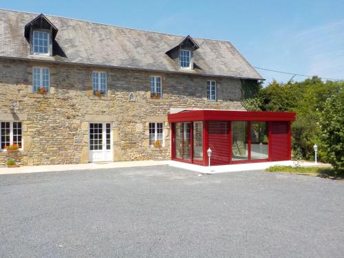
Bed and Breakfast : Le Grand Camelia
Featuring garden views, Le Grand Camelia in Saint-Martin-dʼAubigny features accommodation and barbecue facilities. Free WiFi is available. There is a fully equipped private bat...
Price : from 50.00 €
to 65.00 €
Contact : 2D Le Vieux Bourg 50190 Saint-Martin-dʼAubigny
Distance Bed and Breakfast - Le Mesnilbus : 3.18 km
|
|
|
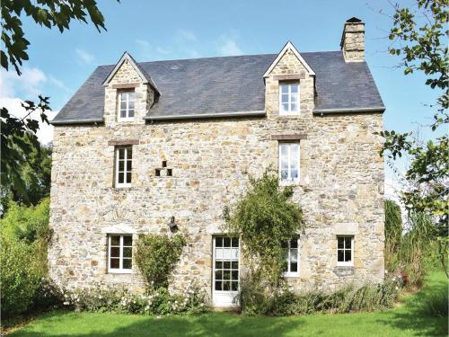
Apartment : Chez Marylene
Located in Saint-Michel-de-la-Pierre in the Lower Normandy region, Chez Marylene features a garden. This apartment also has free WiFi. This apartment is fitted with 2 bedrooms,...
Contact : 50490 Saint-Michel-de-la-Pierre
Distance Apartment - Le Mesnilbus : 3.28 km
|
|
|
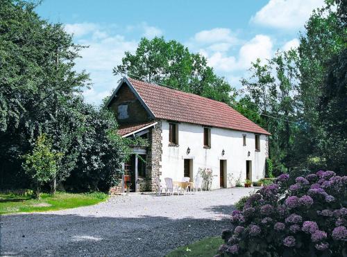
Guest accommodation : Gîte du Pont

Boasting barbecue facilities and a garden, Gîte du Pont offers accommodation in Le Lorey with free WiFi and garden views. The accommodation is 41 km from Granville. The holiday...
Contact : 2 Le Pont Crapauds 50570 Le Lorey
Distance Guest accommodation - Le Mesnilbus : 3.46 km
|
|
|
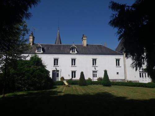
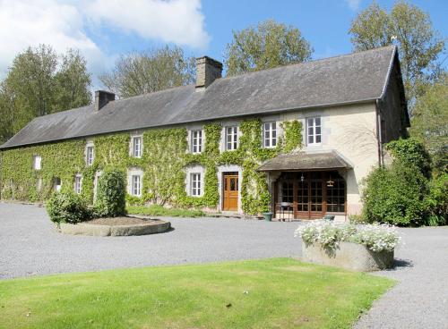
Guest accommodation : Chateau de la Rucquetiere - Gîte
Featuring barbecue facilities, Chateau de la Rucquetiere - Gîte provides accommodation in Le Lorey with free WiFi and garden views. This country house offers a garden. The coun...
Address : 2 La Roquetiere 50570 Le Lorey
Distance Guest accommodation - Le Mesnilbus : 4.04 km
|
|
|
Guest accommodation : Gîte De L'Etot Fossey
Gîte De L'Etot Fossey is located in Marchésieux and offers free bikes and barbecue facilities. Guests have a private terrace. This holiday home features 2 bedrooms, a kitchen w...
Contact : L'Etot Fossey 50190 Marchésieux
Distance Guest accommodation - Le Mesnilbus : 6.87 km
|
|
|
Guest accommodation : Four-Bedroom Holiday Home in Monthuchon
Four-Bedroom Holiday Home in Monthuchon is set in Monthuchon. Complimentary WiFi is provided. The holiday home includes 4 bedrooms, a kitchenette with a dishwasher and a microw...
Contact : 50200 Monthuchon
Distance Guest accommodation - Le Mesnilbus : 7.57 km
|
|
|
Guest accommodation : Ferienhaus Savigny 400S
Ferienhaus Savigny 400S is located in Savigny. This holiday home also features free WiFi. The holiday home features 2 bedrooms and a fully fitted kitchen with a dishwasher and ...
Contact : 50210 Savigny
Distance Guest accommodation - Le Mesnilbus : 8.21 km
|
|
|
Guest accommodation : Ferienhaus Savigny 402S
Ferienhaus Savigny 402S is set in Savigny. Guests staying at this holiday home have access to a fully equipped kitchen. Granville is 37 km from the holiday home.
Address : 50210 Savigny
Distance Guest accommodation - Le Mesnilbus : 8.21 km
|
|
|
Guest accommodation : Ferienhaus Savigny 406S
Ferienhaus Savigny 406S is located in Savigny. Complimentary WiFi is available. The holiday home includes 2 bedrooms and a kitchenette with a dishwasher and an oven. Granville...
Contact : 50210 Savigny
Distance Guest accommodation - Le Mesnilbus : 8.21 km
|
|
Find another hotel near Le Mesnilbus : Le Mesnilbus hotels list
|
Map of Le Mesnilbus
|
|
Map of Le Mesnilbus :
At right you can find the localization of Le Mesnilbus on the map of France. Below, this is the satellite map of Le Mesnilbus. A road map, and maps templates of Le Mesnilbus are available here : "road map of Le Mesnilbus". This map show Le Mesnilbus seen by the satellite of Google Map. To see the streets of Le Mesnilbus or move on another zone, use the buttons "zoom" and "map" on top of this dynamic map.
Search on the map of Le Mesnilbus :
To search hotels, housings, tourist information office, administrations or other services, use the Google search integrated to the map on the following page : "map Le Mesnilbus".
Hotels of Le Mesnilbus are listed on the map with the following icons: 
The map of Le Mesnilbus is centred in the following coordinates :
|

|
|
|
|
Print the map of Le Mesnilbus

Print the map of Le Mesnilbus : map of Le Mesnilbus
|
Photos Le Mesnilbus
|
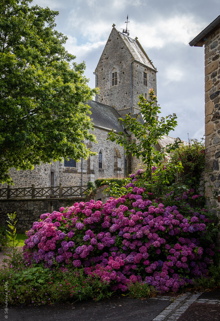
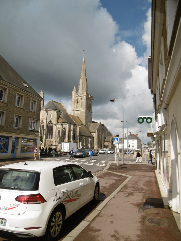
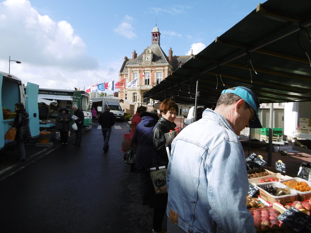
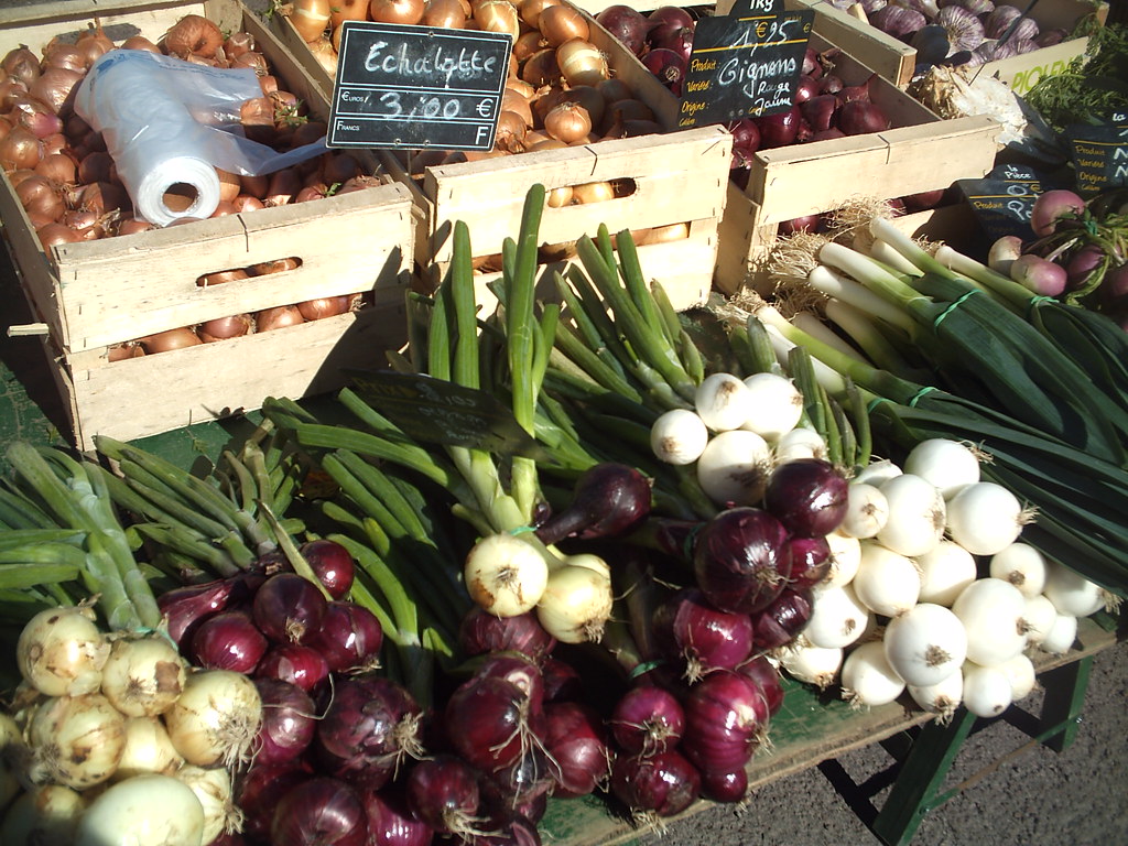
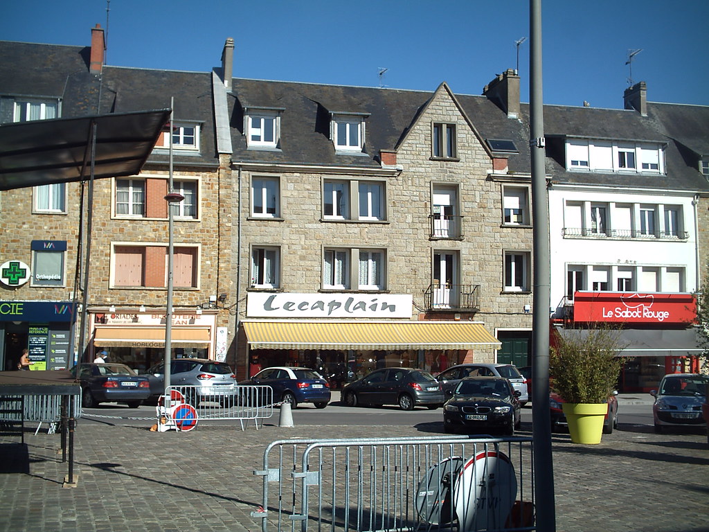
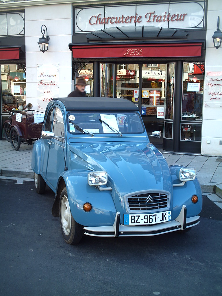
See all photos of Le Mesnilbus :
Other photos of Le Mesnilbus and nearby towns can be found here: photos Le Mesnilbus
|
|
Le Mesnilbus weather forecast
Find next hours and 7 days weather forecast for Le Mesnilbus here : weather Le Mesnilbus (with english metrics)
This is the last weather forecast for Le Mesnilbus collected by the nearest observation station of Saint-Sauveur-Lendelin.
Week Forecast:
The latest weather data for Le Mesnilbus were collected Friday, 26 April 2024 at 09:00 from the nearest observation station of Saint-Sauveur-Lendelin.
| Friday, April 26th |
14°C 7°C
78%
88%
|
Rain
Temperature Max: 14°C Temperature Min: 7°C
Precipitation Probability: 78% (Rain)
Percentage of sky occluded by clouds: 88%
Wind speed: 10 km/h North-East
Humidity: 79%° UV Index: 3
Sunrise: 06:52 Sunset: 21:15 |
|
| | Saturday, April 27th |
13°C 6°C
79%
98%
|
Rain
Temperature Max: 13°C Temperature Min: 6°C
Precipitation Probability: 79% (Rain)
Percentage of sky occluded by clouds: 98%
Wind speed: 8 km/h West
Humidity: 80%° UV Index: 3
Sunrise: 06:50 Sunset: 21:16 |
|
| | Sunday, April 28th |
14°C 8°C
76%
74%
|
Rain
Temperature Max: 14°C Temperature Min: 8°C
Precipitation Probability: 76% (Rain)
Percentage of sky occluded by clouds: 74%
Wind speed: 18 km/h East
Humidity: 77%° UV Index: 3
Sunrise: 06:49 Sunset: 21:18 |
|
| | Monday, April 29th |
16°C 6°C
35%
64%
|
Partly cloudy
Temperature Max: 16°C Temperature Min: 6°C
Precipitation Probability: 35% (Rain)
Percentage of sky occluded by clouds: 64%
Wind speed: 15 km/h North
Humidity: 68%° UV Index: 3
Sunrise: 06:47 Sunset: 21:19 |
|
|
Attribution: 
|
|
Other maps, hotels and towns in france
Find another town, zip code, department, region, ...
Quick links Le Mesnilbus :
Make a link to this page of Le Mesnilbus with the following code :
|
|
|
 French Version : http://www.cartesfrance.fr/carte-france-ville/50308_Le Mesnilbus.html