|
The village of Le Pertuis is a small village located center of France. The town of Le Pertuis is located in the department of Haute-Loire of the french region Auvergne. The town of Le Pertuis is located in the township of Saint-Julien-Chapteuil part of the district of Le Puy-en-Velay. The area code for Le Pertuis is 43150 (also known as code INSEE), and the Le Pertuis zip code is 43200.
Geography and map of Le Pertuis :
The altitude of the city hall of Le Pertuis is approximately 1 020 meters. The Le Pertuis surface is 11.89 km ². The latitude and longitude of Le Pertuis are 45.097 degrees North and 4.057 degrees East.
Nearby cities and towns of Le Pertuis are :
Saint-Hostien (43260) at 2.80 km, Bessamorel (43200) at 3.60 km, Queyrières (43260) at 4.20 km, Saint-Étienne-Lardeyrol (43260) at 5.11 km, Saint-Pierre-Eynac (43260) at 5.81 km, Saint-Julien-du-Pinet (43200) at 6.15 km, Rosières (43800) at 6.79 km, Saint-Julien-Chapteuil (43260) at 6.85 km.
(The distances to these nearby towns of Le Pertuis are calculated as the crow flies)
Population and housing of Le Pertuis :
The population of Le Pertuis was 374 in 1999, 410 in 2006 and 416 in 2007. The population density of Le Pertuis is 34.99 inhabitants per km². The number of housing of Le Pertuis was 331 in 2007. These homes of Le Pertuis consist of 186 main residences, 94 second or occasional homes and 51 vacant homes. |
|
|
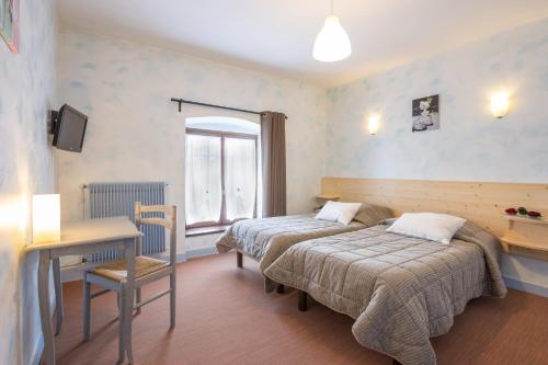
Hotel Le Pertuis
|
|
|
Book now ! Best Price Guaranteed, no booking fees, pay at the hotel with our partner Booking.com, leader in online hotel reservation.
Find all hotels of Le Pertuis : Hotel Le Pertuis
| |
|
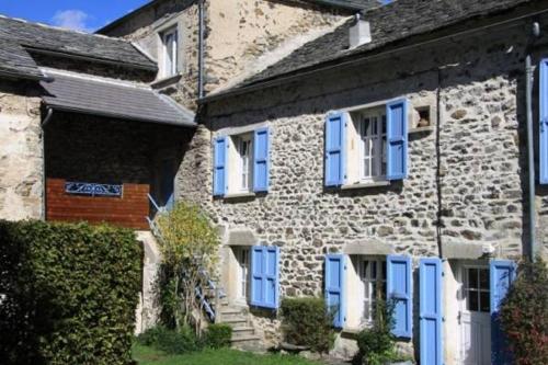
Guest accommodation : Aux Pays Des Sucs

Featuring a garden, Aux Pays Des Sucs is a Semi-detached holiday home set in Le Pertuis. Guests benefit from terrace and a barbecue. Free private parking is available on site. ...
Rate : from 56.00 €
to 115.00 €
Address : Les Chazes 43260 Saint-Hostien
Distance Guest accommodation - Le Pertuis : 1.86 km
|
|
|
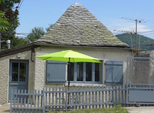
Guest accommodation : Chambre d'hôtes aux Pays des Sucs

Located in Saint-Hostien, Chambre d'hôtes aux Pays des Sucs offers 4-star accommodation with a garden. This 4-star guest house offers ski storage space. All rooms have a terrace...
Price : from 50.00 €
to 65.00 €
Contact : Les Chazes 43260 Saint-Hostien
Distance Guest accommodation - Le Pertuis : 1.87 km
|
|
|
Guest accommodation : La Parenthese insolite
Offering free WiFi and mountain views, La Parenthese insolite is an accommodation set in Saint-Hostien. This holiday home provides barbecue facilities, a garden, as well as a te...
Prices : from 144.00 €
to 195.00 €
Contact : route de Queyrieres 43260 Saint-Hostien
Distance Guest accommodation - Le Pertuis : 2.62 km
|
|
|
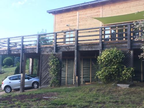
Guest accommodation : Gîte La Parenthèse
Boasting barbecue facilities and a garden, Gîte La Parenthèse provides accommodation in Saint-Hostien with free WiFi and mountain views. Guests staying at this holiday home have...
Rate : from 91.20 €
to 96.00 €
Contact : Le Bourg 43260 Saint-Hostien
Distance Guest accommodation - Le Pertuis : 2.63 km
|
|
|
Guest accommodation : La P'tite Maison
Located in Saint-Hostien in the Auvergne region, La P'tite Maison features a terrace. This holiday home has a garden and barbecue facilities. This holiday home has 1 bedroom, a...
Price : from 41.00 €
to 48.00 €
Address : route de la Freydeire 43260 Saint-Hostien
Distance Guest accommodation - Le Pertuis : 2.69 km
|
|
|
Guest accommodation : Chez Siouab
Set in Saint-Hostien in the Auvergne region, Chez Siouab features a terrace and mountain views. Guests staying at this holiday home have access to a fully equipped kitchen. Thi...
Prices : from 85.00 €
to 90.00 €
Contact : La Freydeyre 43260 Saint-Hostien
Distance Guest accommodation - Le Pertuis : 3.28 km
|
|
|
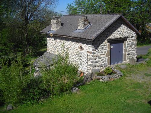
Guest accommodation : Gite du Rucher du Meygal
Located in Saint-Julien-Chapteuil in the Auvergne region, Gite du Rucher du Meygal has a terrace and mountain views. The holiday home is in an area where guests can engage in ac...
Contact : La Chapuze 43260 Saint-Julien-Chapteuil
Distance Guest accommodation - Le Pertuis : 5.65 km
|
|

|
Guest accommodation : Bulles d'Herbe
Bulles d'Herbe provides a hot tub, as well as accommodation with free WiFi and a kitchen in Queyrières. The accommodation has a hot tub. All units come with a dishwasher, oven,...
Price : from 249.00 €
Contact : Monedeyres Les Hautes 43260 Queyrières
Distance Guest accommodation - Le Pertuis : 5.75 km
|
|

|
Hotel : La Ferme du Bien-etre
Featuring a bar and a restaurant, La Ferme du Bien-etre is set in Saint-Julien-Chapteuil. This 3-star hotel provides a spa experience, with its hot tub and sauna. The accommodat...
Prices : from 95.00 €
to 125.00 €
Address : bourgeneuf Lieu dit 43260 Saint-Julien-Chapteuil
Distance Hotel - Le Pertuis : 6.72 km
|
|
|
Hotel Restaurant Le Barriol is located in the village of Saint-Julien-Chapteuil, 800 metres above sea level in the rolling hills of Jules Romain. Free WiFi is provided, and gues...
Contact : 3, place du Marché 43260 Saint-Julien-Chapteuil
Distance Hotel - Le Pertuis : 7.10 km
|
|
Find another hotel near Le Pertuis : Le Pertuis hotels list
|
Map of Le Pertuis
|
|
Map of Le Pertuis :
At right you can find the localization of Le Pertuis on the map of France. Below, this is the satellite map of Le Pertuis. A road map, and maps templates of Le Pertuis are available here : "road map of Le Pertuis". This map show Le Pertuis seen by the satellite of Google Map. To see the streets of Le Pertuis or move on another zone, use the buttons "zoom" and "map" on top of this dynamic map.
Search on the map of Le Pertuis :
To search hotels, housings, tourist information office, administrations or other services, use the Google search integrated to the map on the following page : "map Le Pertuis".
Hotels of Le Pertuis are listed on the map with the following icons: 
The map of Le Pertuis is centred in the following coordinates :
|

|
|
|
|
Print the map of Le Pertuis

Print the map of Le Pertuis : map of Le Pertuis
|
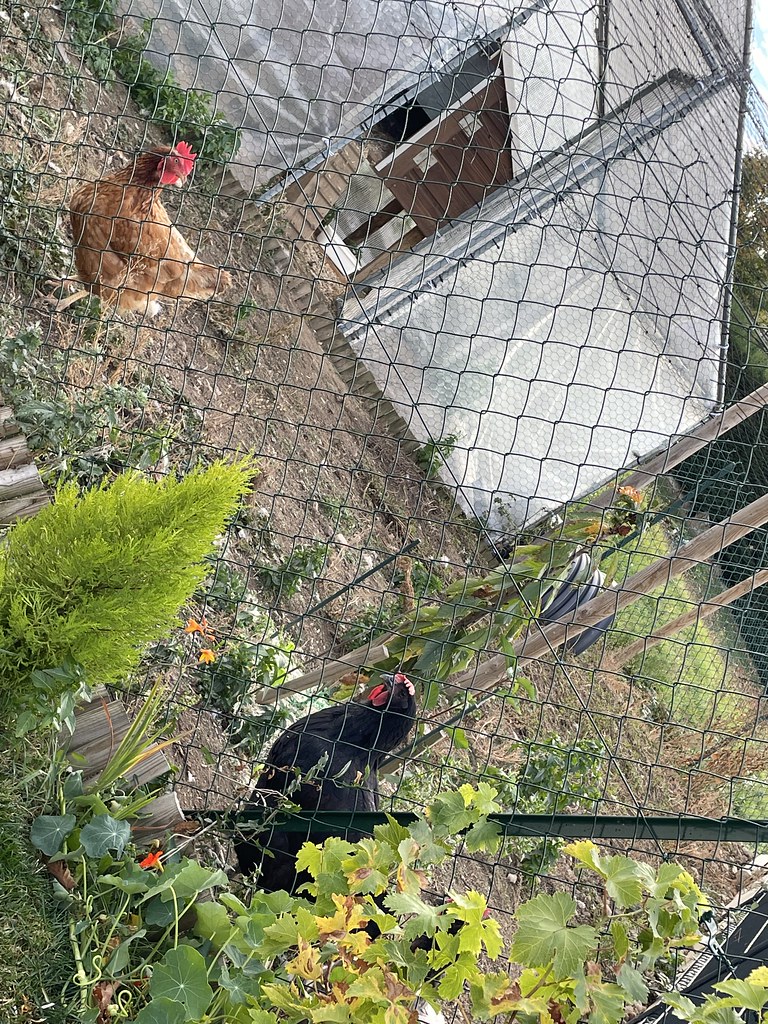
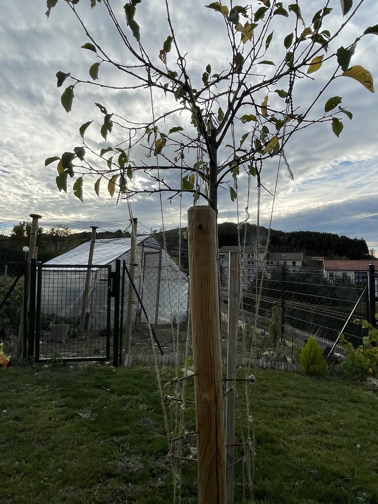
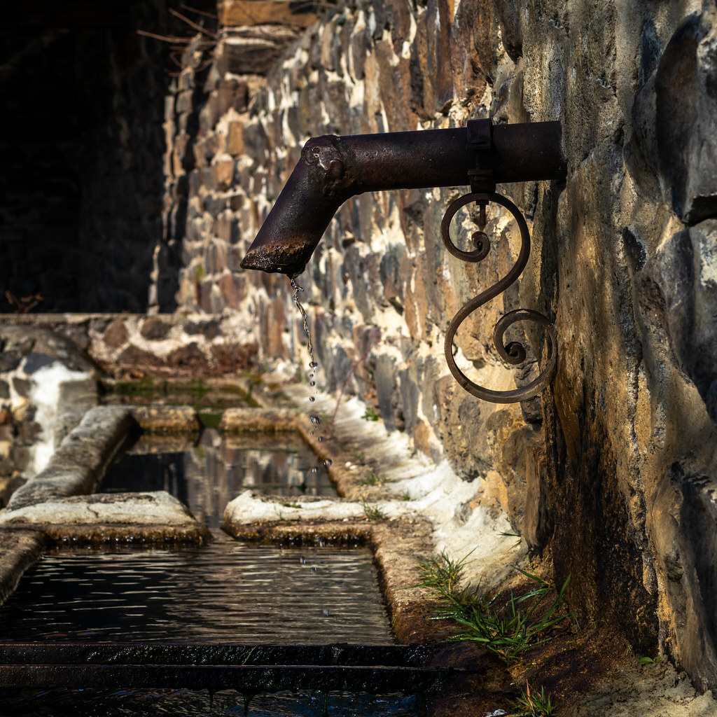
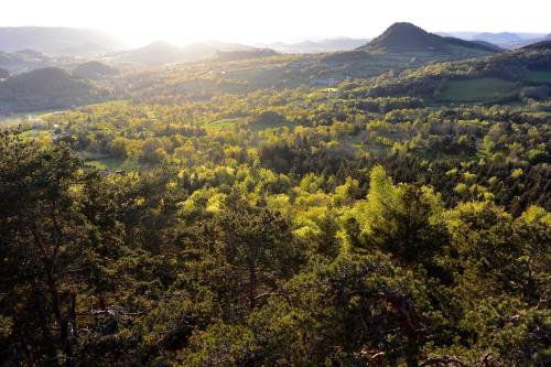
Photos Le Pertuis
|
See all photos of Le Pertuis :
Other photos of Le Pertuis and nearby towns can be found here: photos Le Pertuis
|
|
Le Pertuis weather forecast
Find next hours and 7 days weather forecast for Le Pertuis here : weather Le Pertuis (with english metrics)
This is the last weather forecast for Le Pertuis collected by the nearest observation station of Saint-Julien-Chapteuil.
Week Forecast:
The latest weather data for Le Pertuis were collected Friday, 26 April 2024 at 06:00 from the nearest observation station of Saint-Julien-Chapteuil.
| Friday, April 26th |
10°C 4°C
67%
85%
|
Drizzle
Temperature Max: 10°C Temperature Min: 4°C
Precipitation Probability: 67% (Rain)
Percentage of sky occluded by clouds: 85%
Wind speed: 14 km/h North
Humidity: 76%° UV Index: 3
Sunrise: 06:40 Sunset: 20:43 |
|
| | Saturday, April 27th |
12°C 5°C
53%
82%
|
Windy
Temperature Max: 12°C Temperature Min: 5°C
Precipitation Probability: 53% (Rain)
Percentage of sky occluded by clouds: 82%
Wind speed: 33 km/h North
Humidity: 71%° UV Index: 4
Sunrise: 06:38 Sunset: 20:45 |
|
| | Sunday, April 28th |
12°C 8°C
74%
99%
|
Rain
Temperature Max: 12°C Temperature Min: 8°C
Precipitation Probability: 74% (Rain)
Percentage of sky occluded by clouds: 99%
Wind speed: 7 km/h North
Humidity: 79%° UV Index: 3
Sunrise: 06:37 Sunset: 20:46 |
|
| | Monday, April 29th |
13°C 6°C
73%
98%
|
Rain
Temperature Max: 13°C Temperature Min: 6°C
Precipitation Probability: 73% (Rain)
Percentage of sky occluded by clouds: 98%
Wind speed: 8 km/h North-West
Humidity: 75%° UV Index: 3
Sunrise: 06:35 Sunset: 20:47 |
|
|
Attribution: 
|
|
Other maps, hotels and towns in france
Find another town, zip code, department, region, ...
Quick links Le Pertuis :
Make a link to this page of Le Pertuis with the following code :
|
|
|
 French Version : http://www.cartesfrance.fr/carte-france-ville/43150_Le Pertuis.html