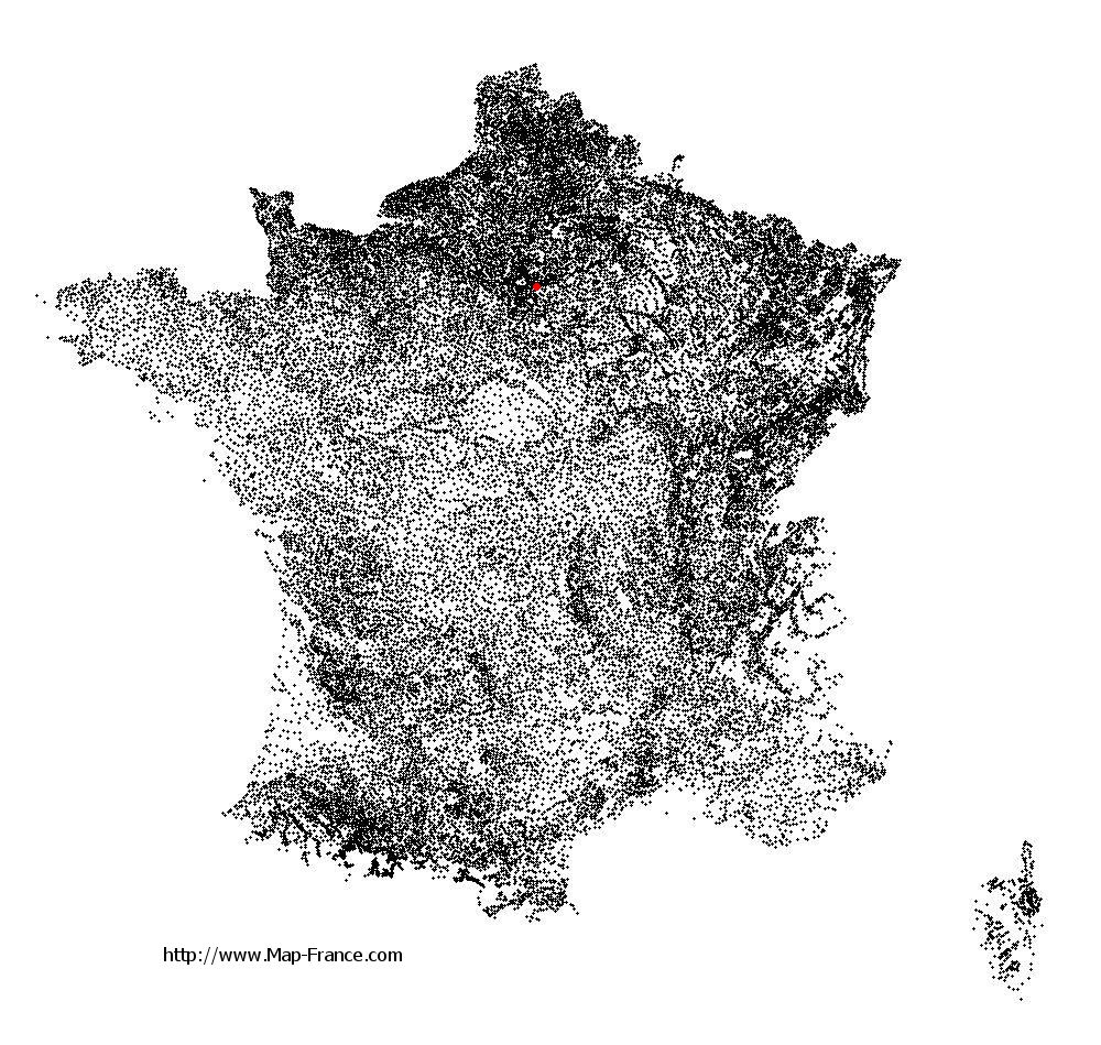
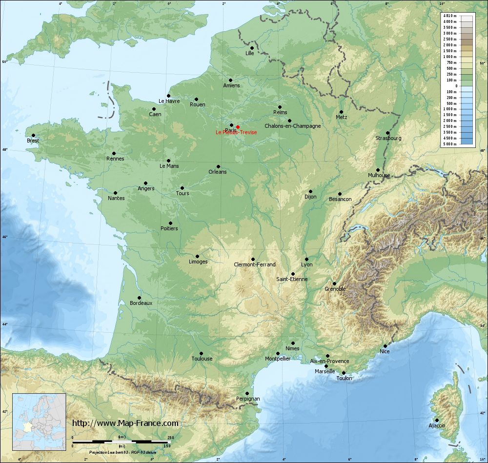
Le Plessis-Trévise on the relief France map in Lambert 93 coordinates
|
See the map of Le Plessis-Trévise in full screen (1000 x 949)
|
At left, here is the location of Le Plessis-Trévise on the relief France map in Lambert 93 coordinates.
Here are the altitudes of Le Plessis-Trévise :
- Town hall altitude of Le Plessis-Trévise is 110 meters
- Minimum altitude of Le Plessis-Trévise is 88 meters
- Maximum altitude of Le Plessis-Trévise is 111 meters
- Medium altitude of Le Plessis-Trévise is 100 meters
Here are the altitudes of Créteil, prefecture of Val-de-Marne department:
- Town hall altitude of Créteil is 34 meters
- Minimum altitude of Créteil is 31 meters
- Maximum altitude of Créteil is 74 meters
- Medium altitude of Créteil is 53 meters
Here are the altitudes of the french biggest cities:
Paris : 33 meters
Marseille : 20 meters
Lyon : 237 meters
Toulouse : 146 meters
Nice : 10 meters
Nantes : 20 meters
Strasbourg : 144 meters
Montpellier : 35 meters
Bordeaux : 16 meters
Lille : 20 meters
Rennes : 35 meters
Reims : 83 meters
Click here for the terrain map of Le Plessis-Trévise in full screen:
Relief map of Le Plessis-Trévise
|
This relief map of Le Plessis-Trévise is reusable and modifiable by making a link to this page of the Map-France.com website or by using the given code :
|
Terrain base map of Le Plessis-Trévise
|

See the terrain base map of Le Plessis-Trévise in full screen (1000 x 949)
|
Small relief base map of Le Plessis-Trévise

|
This base map of Le Plessis-Trévise is reusable and modifiable by making a link to this page of the Map-France.com website or by using the given code :
|
Map of Le Plessis-Trévise with regions and prefectures
|
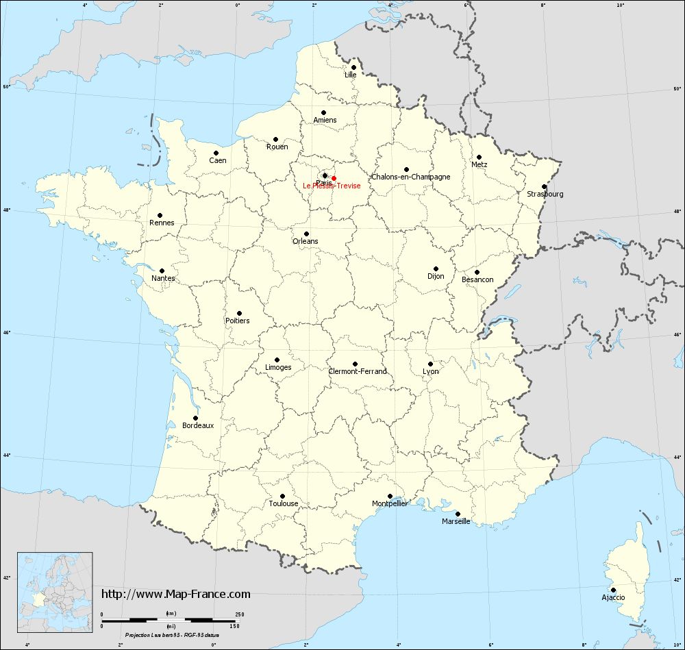
View the map of Le Plessis-Trévise in full screen (1000 x 949)
|
You will find the location of Le Plessis-Trévise on the map of France of regions in Lambert 93 coordinates. The city of Le Plessis-Trévise is located in the department of Val-de-Marne of the french region Île-de-France.
Geographical sexagesimal coordinates / GPS (WGS84):
Latitude: 48° 48' 40'' North
Longitude: 02° 34' 18'' East
Geographical decimal coordinates :
Latitude: 48.812 degrees (48.812° North)
Longitude: 2.567 degrees (2.567° East)
Lambert 93 coordinates :
X: 6 685 hectometers
Y: 68 569 hectometers
Lambert 2 coordinates :
X: 6 173 hectometers
Y: 24 237 hectometers
Below, the geographical coordinates of Créteil, prefecture of the Val-de-Marne department:
Geographical sexagesimal coordinates / GPS (WGS84):
Latitude: 48° 47' 26'' North
Longitude: 02° 27' 43'' East
Geographical decimal coordinates :
Latitude: 48.793 degrees (48.793° North)
Longitude: 2.461 degrees (2.461° East)
Lambert 93 coordinates :
X: 6 605 hectometers
Y: 68 546 hectometers
Lambert 2 coordinates :
X: 6 092 hectometers
Y: 24 213 hectometers
|
This map of Le Plessis-Trévise is reusable and modifiable by making a link to this page of the Map-France.com website or by using the given code :
|
Map of Le Plessis-Trévise with departments and prefectures
|
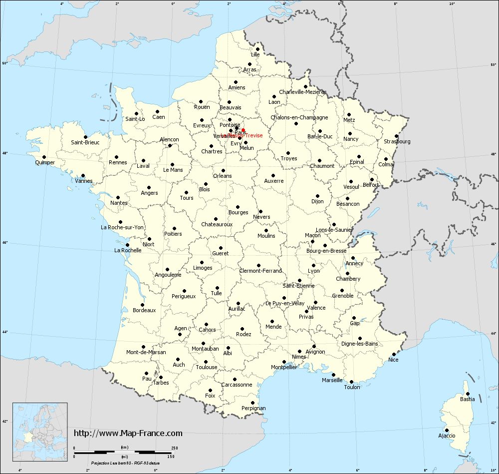
Voir la carte of Le Plessis-Trévise en grand format (1000 x 949)
|
Here is the localization of Le Plessis-Trévise on the France map of departments in Lambert 93 coordinates. The city of Le Plessis-Trévise is shown on the map by a red point.
The city of Le Plessis-Trévise is located in the department of Val-de-Marne of the french region Île-de-France.
The latitude of Le Plessis-Trévise is 48.812 degrees North.
The longitude of Le Plessis-Trévise is 2.567 degrees East.
Here the distance between Le Plessis-Trévise and the biggest cities of France:
Distances are calculated as the crow flies (orthodromic distance)
Distance between Le Plessis-Trévise and Paris : 17.03 kilometers
Distance between Le Plessis-Trévise and Marseille : 650.39 kilometers
Distance between Le Plessis-Trévise and Lyon : 379.76 kilometers
Distance between Le Plessis-Trévise and Toulouse : 585.46 kilometers
Distance between Le Plessis-Trévise and Nice : 672.00 kilometers
Distance between Le Plessis-Trévise and Nantes : 353.68 kilometers
Distance between Le Plessis-Trévise and Strasbourg : 381.28 kilometers
Distance between Le Plessis-Trévise and Montpellier : 586.80 kilometers
Distance between Le Plessis-Trévise and Bordeaux : 501.45 kilometers
Distance between Le Plessis-Trévise and Lille : 204.61 kilometers
Distance between Le Plessis-Trévise and Rennes : 322.53 kilometers
Distance between Le Plessis-Trévise and Reims : 117.59 kilometers
Clic here to see the map of Le Plessis-Trévise in full screen:
Le Plessis-Trévise on the map of french departments
|
This administrative map of Le Plessis-Trévise is reusable and modifiable by making a link to this page of the Map-France.com website or by using the given code :
|
Administrative base maps of Le Plessis-Trévise
|

See the administrative base map of Le Plessis-Trévise in full screen (1000 x 949)
|
Small administrative base map of Le Plessis-Trévise
|
This base map administrative of Le Plessis-Trévise is reusable and modifiable by making a link to this page of the Map-France.com website or by using the given code :
|
 French Version : http://www.cartesfrance.fr