|
The village of Les Éduts is a small village located west of France. The town of Les Éduts is located in the department of Charente-Maritime of the french region Poitou-Charentes. The town of Les Éduts is located in the township of Aulnay part of the district of Saint-Jean-d'Angély. The area code for Les Éduts is 17149 (also known as code INSEE), and the Les Éduts zip code is 17510.
Geography and map of Les Éduts :
The altitude of the city hall of Les Éduts is approximately 140 meters. The Les Éduts surface is 8.05 km ². The latitude and longitude of Les Éduts are 45.992 degrees North and 0.216 degrees West.
Nearby cities and towns of Les Éduts are :
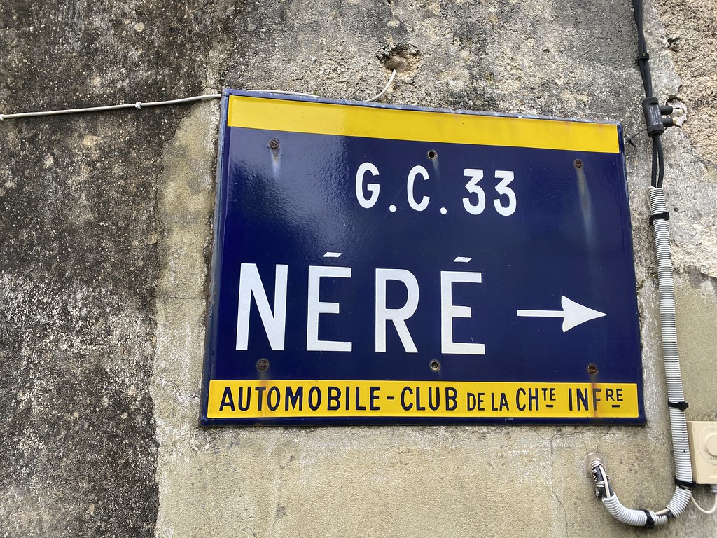
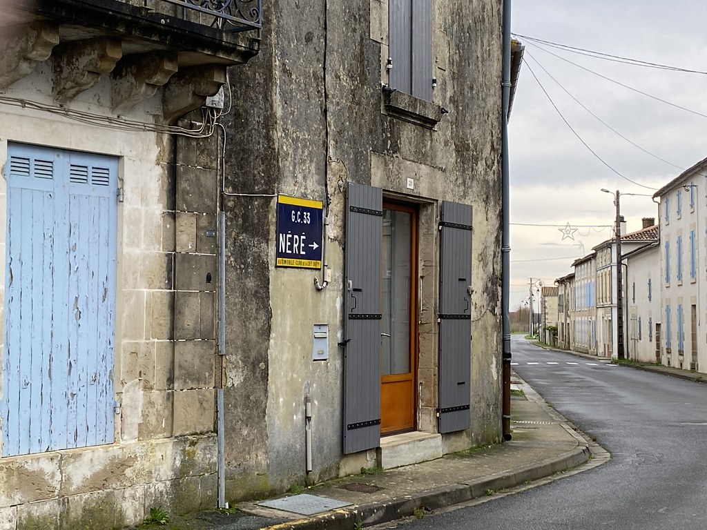
Néré (17510) at 2.37 km, Saleignes (17510) at 3.03 km, Romazières (17510) at 3.19 km, Seigné (17510) at 4.42 km, Villiers-Couture (17510) at 5.07 km, Vinax (17510) at 5.33 km, Fontaine-Chalendray (17510) at 5.53 km, Contré (17470) at 5.74 km.
(The distances to these nearby towns of Les Éduts are calculated as the crow flies)
Population and housing of Les Éduts :
The population of Les Éduts was 64 in 1999, 66 in 2006 and 66 in 2007. The population density of Les Éduts is 8.20 inhabitants per km². The number of housing of Les Éduts was 41 in 2007. These homes of Les Éduts consist of 30 main residences, 6 second or occasional homes and 5 vacant homes. |
|
|
Hotel Les Éduts
|
|
|
Book now ! Best Price Guaranteed, no booking fees, pay at the hotel with our partner Booking.com, leader in online hotel reservation.
Find all hotels of Les Éduts : Hotel Les Éduts
| |
|
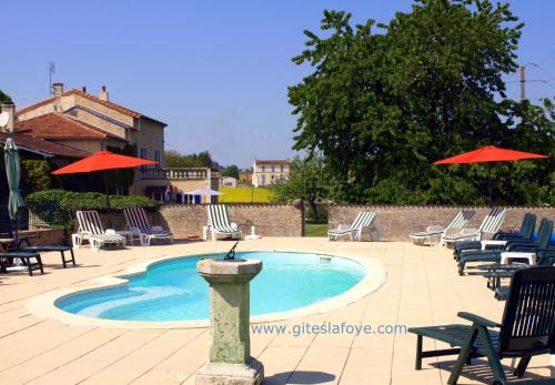
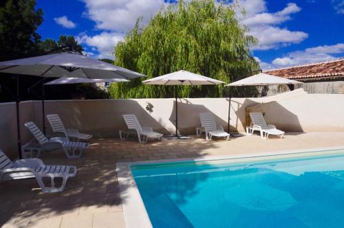
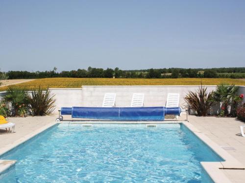
Guest accommodation : Le Manoir de La Foye

Le Manoir de La Foye features free bikes and a hot tub, as well as accommodation with a kitchen in Vinax. Free WiFi is featured. A dishwasher and oven are also available, as we...
Address : Le Manoir de La Foye, Vinax, 17510 Vinax
Distance Guest accommodation - Les Éduts : 4.54 km
|
|
|
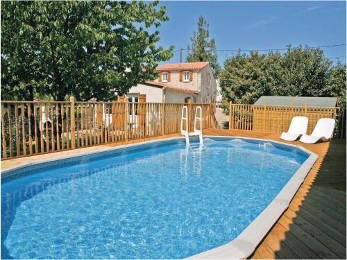
Bed and Breakfast : Chez Fins Bois
Situated in Néré in the Poitou-Charentes Region, 38 km from Saintes, Chez Fins Bois boasts a seasonal outdoor pool and barbecue. Free WiFi is available and free private parking ...
Price : from 60.00 €
to 80.00 €
Contact : 6 route de la fontaine, Lepinoux 17510 Néré
Distance Bed and Breakfast - Les Éduts : 4.71 km
|
|

|
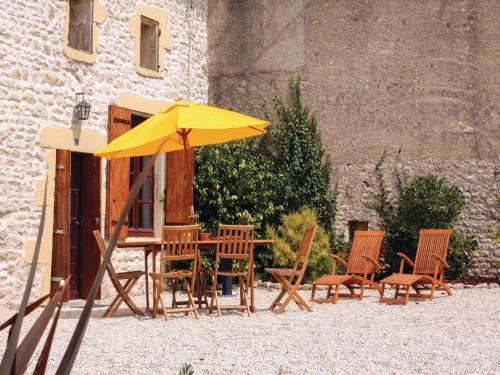
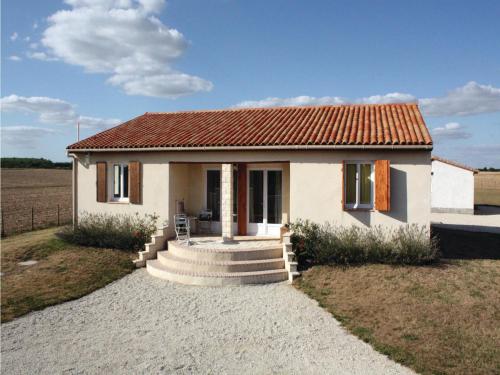
Guest accommodation : La Couture
Located in Villiers-Couture, La Couture features accommodation with a terrace and free WiFi. This holiday home offers barbecue facilities. The holiday home features 3 bedrooms,...
Contact : 17510 Villiers-Couture
Distance Guest accommodation - Les Éduts : 4.82 km
|
|
|
Guest accommodation : Holiday Home La Touche

Situated in Villiers-Couture in the Poitou-Charentes region, Holiday Home La Touche is a 4-star property boasting free WiFi. Guests are welcome to go for a swim in the outdoor p...
Contact : 17510 Villiers-Couture
Distance Guest accommodation - Les Éduts : 5.01 km
|
|
|
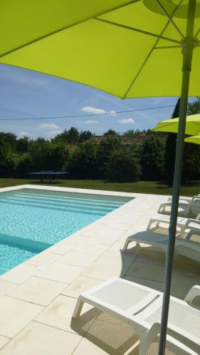
Guest accommodation : Maison Muguet
Boasting a private outdoor pool, Maison Muguet is a semi-detached holiday home set in the countryside of Villiers-Couture. The property is 55 km from Saintes and boasts views of...
Address : 16 Rue Du Muguet 17510 Villiers-Couture
Distance Guest accommodation - Les Éduts : 5.49 km
|
|
|
Guest accommodation : Holiday Home Le Gicq III
Holiday Home Le Gicq III is situated in Le Gicq. The accommodation is 45 km from Saintes. This holiday home comes with a living room and a fully equipped kitchenette with a dis...
Contact : 17160 Le Gicq
Distance Guest accommodation - Les Éduts : 6.55 km
|
|
|
Guest accommodation : Holiday Home Le Gicq II
Holiday Home Le Gicq II is situated in Le Gicq. Guests staying at this holiday home have access to a fully equipped kitchenette. The holiday home offers an outdoor pool. Saint...
Contact : 17160 Le Gicq
Distance Guest accommodation - Les Éduts : 6.55 km
|
|
|
Guest accommodation : Holiday Home Le Gicq I
Holiday Home Le Gicq I is set in Le Gicq. Guests staying at this holiday home have access to a fully equipped kitchen. The holiday home offers an outdoor pool. Saintes is 45 k...
Contact : 17160 Le Gicq
Distance Guest accommodation - Les Éduts : 6.55 km
|
|
|
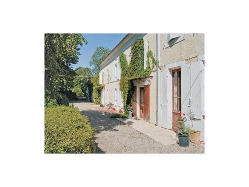
Bed and Breakfast : Maison Marguerite
Maison Marguerite is located in Chives. Guests may enjoy the free WiFi. Breakfast is available each morning, and includes continental and buffet options. Angoulême is 48 km fr...
Prices : from 65.00 €
Address : 8 Rue des Hirondelles 17510 Chives
Distance Bed and Breakfast - Les Éduts : 8.11 km
|
|
|
Guest accommodation : Holiday Home Cresse Chagnolet
Situated in Cressé, Holiday Home Cresse Chagnolet features accommodation with a private pool and free WiFi. Guests staying at this holiday home have access to a fully equipped k...
Contact : 17160 Cressé
Distance Guest accommodation - Les Éduts : 8.30 km
|
|
Find another hotel near Les Éduts : Les Éduts hotels list
|
Map of Les Éduts
|
|
Map of Les Éduts :
At right you can find the localization of Les Éduts on the map of France. Below, this is the satellite map of Les Éduts. A road map, and maps templates of Les Éduts are available here : "road map of Les Éduts". This map show Les Éduts seen by the satellite of Google Map. To see the streets of Les Éduts or move on another zone, use the buttons "zoom" and "map" on top of this dynamic map.
Search on the map of Les Éduts :
To search hotels, housings, tourist information office, administrations or other services, use the Google search integrated to the map on the following page : "map Les Éduts".
Hotels of Les Éduts are listed on the map with the following icons: 
The map of Les Éduts is centred in the following coordinates :
|

|
|
|
|
Print the map of Les Éduts

Print the map of Les Éduts : map of Les Éduts
|
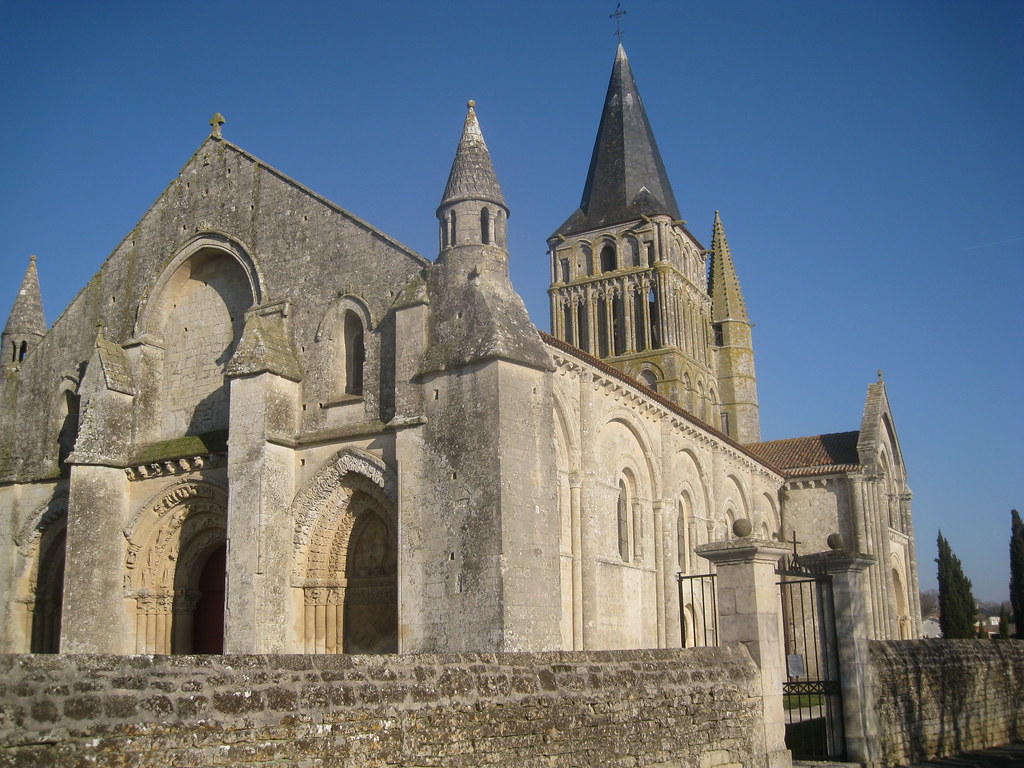
Photos Les Éduts
|
See all photos of Les Éduts :
Other photos of Les Éduts and nearby towns can be found here: photos Les Éduts
|
|
Les Éduts weather forecast
Find next hours and 7 days weather forecast for Les Éduts here : weather Les Éduts (with english metrics)
This is the last weather forecast for Les Éduts collected by the nearest observation station of Aulnay.
Week Forecast:
The latest weather data for Les Éduts were collected Friday, 18 July 2025 at 19:02 from the nearest observation station of Aulnay.
| Friday, July 18th |
31°C 20°C
49%
68%
|
Mostly cloudy
Temperature Max: 31°C Temperature Min: 20°C
Precipitation Probability: 49% (Rain)
Percentage of sky occluded by clouds: 68%
Wind speed: 9 km/h North-East
Humidity: 58%° UV Index: 6
Sunrise: 06:28 Sunset: 21:46 |
|
| | Saturday, July 19th |
25°C 18°C
35%
78%
|
Drizzle
Temperature Max: 25°C Temperature Min: 18°C
Precipitation Probability: 35% (Rain)
Percentage of sky occluded by clouds: 78%
Wind speed: 18 km/h East
Humidity: 69%° UV Index: 5
Sunrise: 06:29 Sunset: 21:45 |
|
| | Sunday, July 20th |
23°C 17°C
74%
60%
|
Rain
Temperature Max: 23°C Temperature Min: 17°C
Precipitation Probability: 74% (Rain)
Percentage of sky occluded by clouds: 60%
Wind speed: 20 km/h North-East
Humidity: 70%° UV Index: 6
Sunrise: 06:30 Sunset: 21:44 |
|
| | Monday, July 21st |
23°C 15°C
63%
65%
|
Drizzle
Temperature Max: 23°C Temperature Min: 15°C
Precipitation Probability: 63% (Rain)
Percentage of sky occluded by clouds: 65%
Wind speed: 26 km/h East
Humidity: 75%° UV Index: 6
Sunrise: 06:31 Sunset: 21:43 |
|
|
Attribution: 
|
|
Other maps, hotels and towns in france
Find another town, zip code, department, region, ...
Quick links Les Éduts :
Make a link to this page of Les Éduts with the following code :
|
|
|
 French Version : http://www.cartesfrance.fr/carte-france-ville/17149_Les Eduts.html