|
The village of Levaré is a small village located north west of France. The town of Levaré is located in the department of Mayenne of the french region Pays de la Loire. The town of Levaré is located in the township of Gorron part of the district of Mayenne. The area code for Levaré is 53132 (also known as code INSEE), and the Levaré zip code is 53120.
Geography and map of Levaré :
The altitude of the city hall of Levaré is approximately 231 meters. The Levaré surface is 11.53 km ². The latitude and longitude of Levaré are 48.418 degrees North and 0.912 degrees West.
Nearby cities and towns of Levaré are :
Saint-Berthevin-la-Tannière (53220) at 3.20 km, Hercé (53120) at 3.84 km, Carelles (53120) at 4.00 km, Vieuvy (53120) at 4.76 km, La Dorée (53190) at 5.27 km, Colombiers-du-Plessis (53120) at 6.04 km, Désertines (53190) at 6.33 km, Montaudin (53220) at 6.65 km.
(The distances to these nearby towns of Levaré are calculated as the crow flies)
Population and housing of Levaré :
The population of Levaré was 358 in 1999, 319 in 2006 and 310 in 2007. The population density of Levaré is 26.89 inhabitants per km². The number of housing of Levaré was 172 in 2007. These homes of Levaré consist of 134 main residences, 23 second or occasional homes and 15 vacant homes. |
|
|
Hotel Levaré
|
|
|
Book now ! Best Price Guaranteed, no booking fees, pay at the hotel with our partner Booking.com, leader in online hotel reservation.
Find all hotels of Levaré : Hotel Levaré
| |
|
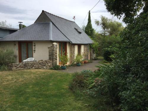
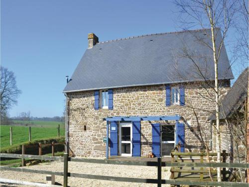
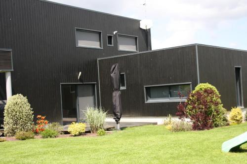
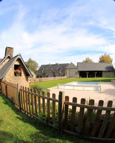
Guest accommodation : La Tabourie

Located in Levaré, La Tabourie features accommodation with a private pool and private parking. This property offers access to a patio and free WiFi. This holiday home has 2 bed...
Address : La Tabourie 53220 Levaré
Distance Guest accommodation - Levaré : 2.48 km
|
|
|
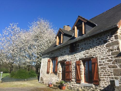
Guest accommodation : Three-Bedroom Holiday Home in Colombiers du Plessis

Three-Bedroom Holiday Home in Colombiers du Plessis is situated in Colombiers-du-Plessis. Guests staying at this holiday home have access to a fully equipped kitchen. Bagnoles ...
Contact : 53120 Colombiers-du-Plessis
Distance Guest accommodation - Levaré : 3.42 km
|
|
|
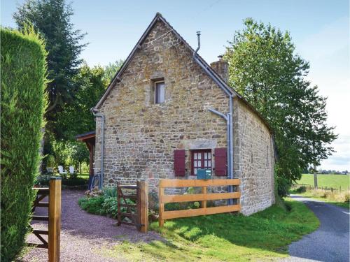
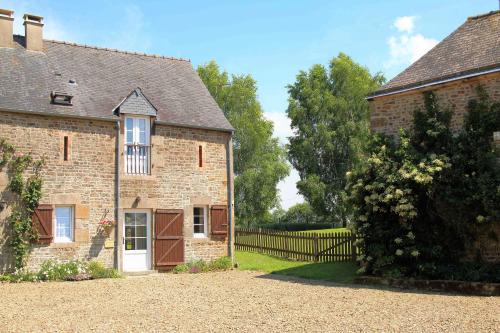
Guest accommodation : Forgelle
Set in Montaudin in the Pays de la Loire region, Forgelle features a terrace. The property has garden views. The holiday home features 2 bedrooms, a flat-screen TV and a fully ...
Contact : Forgelle 53220 Montaudin
Distance Guest accommodation - Levaré : 4.91 km
|
|
|
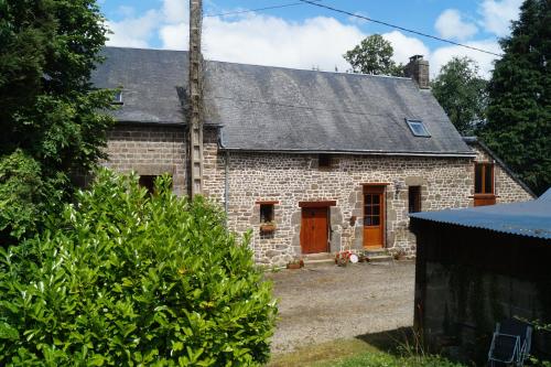
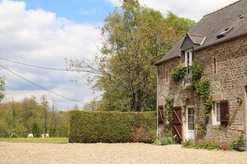
Guest accommodation : Two-Bedroom Holiday Home in Montaudin
Two-Bedroom Holiday Home in Montaudin is located in Montaudin. Guests staying at this holiday home have access to free WiFi. The 2-bedroom holiday home comes with a living room...
Contact : 53220 Montaudin
Distance Guest accommodation - Levaré : 5.38 km
|
|
|
Guest accommodation : Draycott
Draycott is situated in Saint-Aubin-Fosse-Louvain. The holiday home features garden views and is 44 km from Bagnoles de l'Orne. This holiday home is fitted with 1 bedroom, a sa...
Address : La Guesdonnière 53120 Saint-Aubin-Fosse-Louvain
Distance Guest accommodation - Levaré : 6.09 km
|
|
|
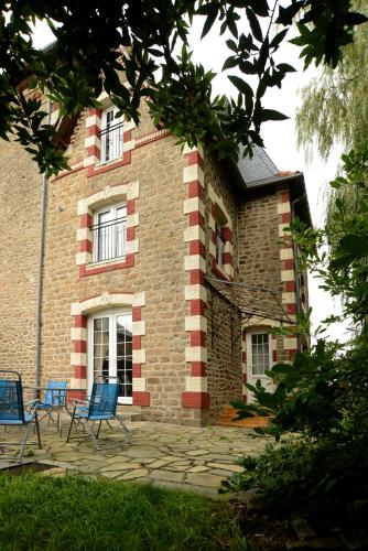
Bed and Breakfast : Le Verger B&B
Offering free WiFi and garden views, Le Verger B&B is an accommodation set in Gorron. Housed in a building dating from 2008, the bed and breakfast is in an area where guests can...
Prices : from 49.00 €
Contact : 20 Le Verger 53120 Gorron
Distance Bed and Breakfast - Levaré : 6.48 km
|
|
|
Guest accommodation : La Petite Maison
Situated in Désertines, La Petite Maison provides a private pool. Featuring free WiFi, the property also has a fitness centre, barbecue facilities and a garden. The holiday hom...
Contact : La Petite Maison Le Moulin de la Quentiniere, 53190 Désertines
Distance Guest accommodation - Levaré : 6.62 km
|
|
|
Guest accommodation : Le Hutereau - Muscadet
Le Hutereau - Muscadet is located in Saint-Denis-de-Gastines and offers free bikes, a seasonal outdoor swimming pool and barbecue facilities. Featuring garden views, this holida...
Contact : Le Hutereau 53500 Saint-Denis-de-Gastines
Distance Guest accommodation - Levaré : 6.77 km
|
|
|
Guest accommodation : Sauvignon
Sauvignon is located in Saint-Denis-de-Gastines and offers free bikes and barbecue facilities. Featuring garden views, this holiday home also comes with free WiFi. This 3-bedro...
Address : Le Hutereau 53500 Saint-Denis-de-Gastines
Distance Guest accommodation - Levaré : 6.77 km
|
|
|
Guest accommodation : Le Hutereau - Chenin
Located in Saint-Denis-de-Gastines, Le Hutereau - Chenin provides accommodation with a private pool and pool views. With garden views, this accommodation features a swimming poo...
Contact : Le Hutereau 53500 Saint-Denis-de-Gastines
Distance Guest accommodation - Levaré : 6.79 km
|
|
Find another hotel near Levaré : Levaré hotels list
|
Map of Levaré
|
|
Map of Levaré :
At right you can find the localization of Levaré on the map of France. Below, this is the satellite map of Levaré. A road map, and maps templates of Levaré are available here : "road map of Levaré". This map show Levaré seen by the satellite of Google Map. To see the streets of Levaré or move on another zone, use the buttons "zoom" and "map" on top of this dynamic map.
Search on the map of Levaré :
To search hotels, housings, tourist information office, administrations or other services, use the Google search integrated to the map on the following page : "map Levaré".
Hotels of Levaré are listed on the map with the following icons: 
The map of Levaré is centred in the following coordinates :
|

|
|
|
|
Print the map of Levaré

Print the map of Levaré : map of Levaré
|
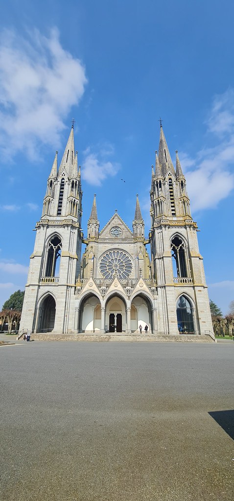
Photos Levaré
|
See all photos of Levaré :
Other photos of Levaré and nearby towns can be found here: photos Levaré
|
|
Levaré weather forecast
Find next hours and 7 days weather forecast for Levaré here : weather Levaré (with english metrics)
This is the last weather forecast for Levaré collected by the nearest observation station of Gorron.
Week Forecast:
The latest weather data for Levaré were collected Friday, 26 April 2024 at 06:00 from the nearest observation station of Gorron.
| Friday, April 26th |
14°C 5°C
65%
92%
|
Rain
Temperature Max: 14°C Temperature Min: 5°C
Precipitation Probability: 65% (Rain)
Percentage of sky occluded by clouds: 92%
Wind speed: 12 km/h North
Humidity: 77%° UV Index: 3
Sunrise: 06:52 Sunset: 21:11 |
|
| | Saturday, April 27th |
13°C 4°C
78%
97%
|
Rain
Temperature Max: 13°C Temperature Min: 4°C
Precipitation Probability: 78% (Rain)
Percentage of sky occluded by clouds: 97%
Wind speed: 10 km/h West
Humidity: 86%° UV Index: 3
Sunrise: 06:50 Sunset: 21:12 |
|
| | Sunday, April 28th |
14°C 7°C
60%
66%
|
Drizzle
Temperature Max: 14°C Temperature Min: 7°C
Precipitation Probability: 60% (Rain)
Percentage of sky occluded by clouds: 66%
Wind speed: 20 km/h North-East
Humidity: 75%° UV Index: 3
Sunrise: 06:48 Sunset: 21:13 |
|
| | Monday, April 29th |
16°C 4°C
20%
54%
|
Partly cloudy
Temperature Max: 16°C Temperature Min: 4°C
Precipitation Probability: 20% (Rain)
Percentage of sky occluded by clouds: 54%
Wind speed: 12 km/h North
Humidity: 66%° UV Index: 3
Sunrise: 06:46 Sunset: 21:15 |
|
|
Attribution: 
|
|
Other maps, hotels and towns in france
Find another town, zip code, department, region, ...
Quick links Levaré :
Make a link to this page of Levaré with the following code :
|
|
|
 French Version : http://www.cartesfrance.fr/carte-france-ville/53132_Levare.html