|
|
|
|
|
|
Lussat pictures
|
|
|
|
Photos of the town of Lussat
|
These photos taken near the town of Lussat can be shown in full screen clicking on the thumbnails. Photos are copyrighted by their owners.
| | |

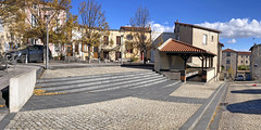
202407_0406
|

202407_0404
|
| |

202407_0405
|

202407_0407
|
| |

L-Aventure Michelin IV, Clermont-Ferrand, 20240427
|

L-Aventure Michelin III, Clermont-Ferrand, 20240427
|
| |

L-Aventure Michelin II, Clermont-Ferrand, 20240427
|

L-Aventure Michelin, Clermont-Ferrand, 20240427
|
| |
Montferrand
|
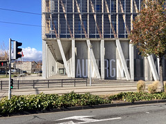
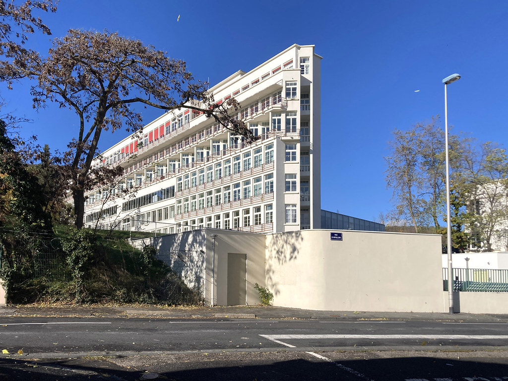
Clermont-Ferrand, Hôtel de Région
|
| |

Clermont-Ferrand, Hôtel de Région
|

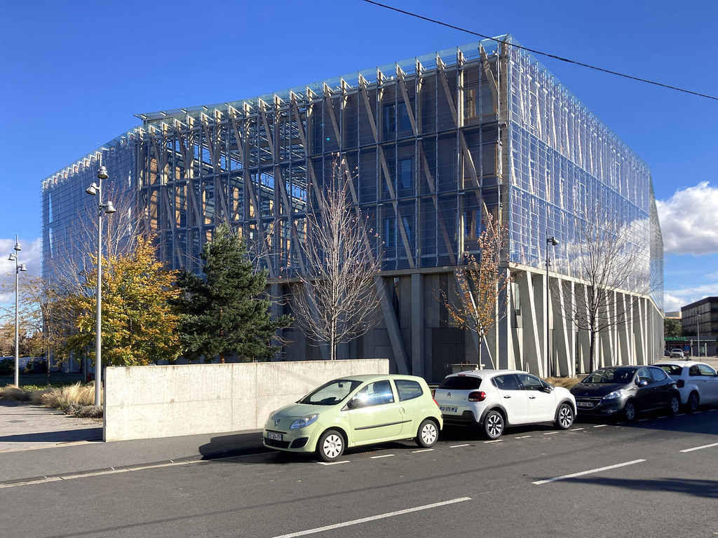
Clermont-Ferrand, école d-architecture
|
| |

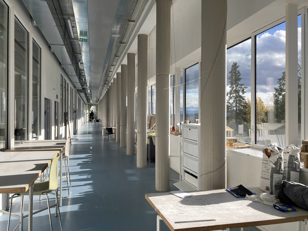
Clermont-Ferrand, école d-architecture
|
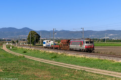
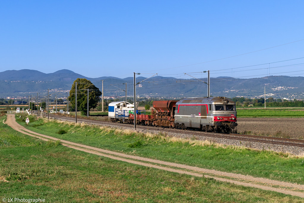
BB 67434 - 807400 Clermont-Ferrand > St-Pierre-des-Corps
|
|
Old photos of the town of Lussat
|
These photos taken near the town of Lussat can be shown in full screen clicking on the thumbnails. Photos are copyrighted by their owners.
|
|
Other maps, hotels and towns in france
Find another town, zip code, department, region, ...
Quick links Lussat :
Back to the menus Map of France :
Make a link to this page of Lussat with the following code :
|
|
Map of France | Regions | Departments | Cities | Partners | Terms | Contact
|