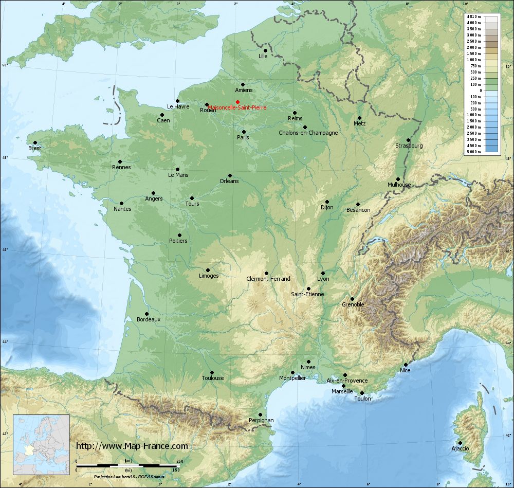
Maisoncelle-Saint-Pierre on the relief France map in Lambert 93 coordinates
|
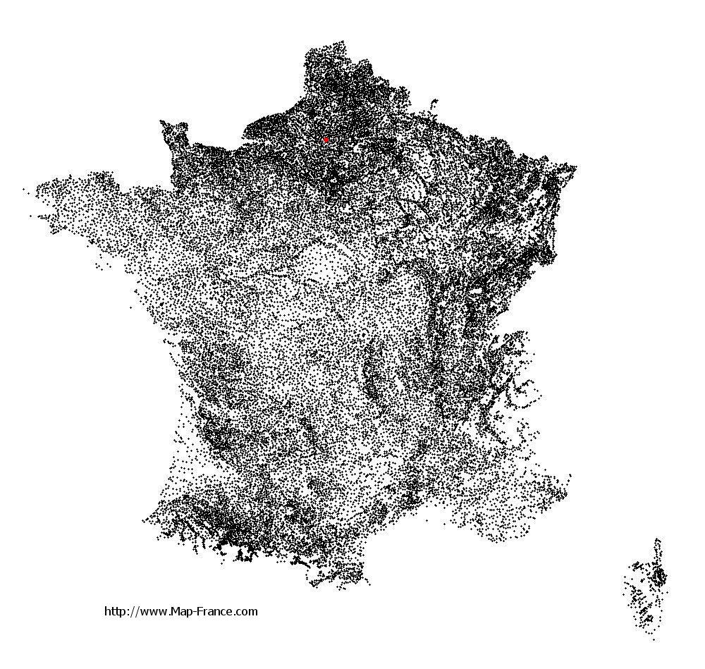
See the map of Maisoncelle-Saint-Pierre in full screen (1000 x 949)
|
At left, here is the location of Maisoncelle-Saint-Pierre on the relief France map in Lambert 93 coordinates.
Here are the altitudes of Maisoncelle-Saint-Pierre :
- Town hall altitude of Maisoncelle-Saint-Pierre is 147 meters
- Minimum altitude of Maisoncelle-Saint-Pierre is 120 meters
- Maximum altitude of Maisoncelle-Saint-Pierre is 158 meters
- Medium altitude of Maisoncelle-Saint-Pierre is 139 meters
Here are the altitudes of Beauvais, prefecture of Oise department:
- Town hall altitude of Beauvais is 67 meters
- Minimum altitude of Beauvais is 57 meters
- Maximum altitude of Beauvais is 170 meters
- Medium altitude of Beauvais is 114 meters
Here are the altitudes of the french biggest cities:
Paris : 33 meters
Marseille : 20 meters
Lyon : 237 meters
Toulouse : 146 meters
Nice : 10 meters
Nantes : 20 meters
Strasbourg : 144 meters
Montpellier : 35 meters
Bordeaux : 16 meters
Lille : 20 meters
Rennes : 35 meters
Reims : 83 meters
Click here for the terrain map of Maisoncelle-Saint-Pierre in full screen:
Relief map of Maisoncelle-Saint-Pierre
|
This relief map of Maisoncelle-Saint-Pierre is reusable and modifiable by making a link to this page of the Map-France.com website or by using the given code :
|
Terrain base map of Maisoncelle-Saint-Pierre
|

See the terrain base map of Maisoncelle-Saint-Pierre in full screen (1000 x 949)
|
Small relief base map of Maisoncelle-Saint-Pierre

|
This base map of Maisoncelle-Saint-Pierre is reusable and modifiable by making a link to this page of the Map-France.com website or by using the given code :
|
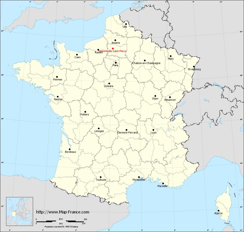
Map of Maisoncelle-Saint-Pierre with regions and prefectures
|
View the map of Maisoncelle-Saint-Pierre in full screen (1000 x 949)
|
You will find the location of Maisoncelle-Saint-Pierre on the map of France of regions in Lambert 93 coordinates. The town of Maisoncelle-Saint-Pierre is located in the department of Oise of the french region Picardie.
Geographical sexagesimal coordinates / GPS (WGS84):
Latitude: 49° 30' 40'' North
Longitude: 02° 07' 37'' East
Geographical decimal coordinates :
Latitude: 49.511 degrees (49.511° North)
Longitude: 2.128 degrees (2.128° East)
Lambert 93 coordinates :
X: 6 368 hectometers
Y: 69 350 hectometers
Lambert 2 coordinates :
X: 5 848 hectometers
Y: 25 016 hectometers
Below, the geographical coordinates of Beauvais, prefecture of the Oise department:
Geographical sexagesimal coordinates / GPS (WGS84):
Latitude: 49° 26' 03'' North
Longitude: 02° 05' 15'' East
Geographical decimal coordinates :
Latitude: 49.435 degrees (49.435° North)
Longitude: 2.082 degrees (2.082° East)
Lambert 93 coordinates :
X: 6 338 hectometers
Y: 69 265 hectometers
Lambert 2 coordinates :
X: 5 819 hectometers
Y: 24 930 hectometers
|
This map of Maisoncelle-Saint-Pierre is reusable and modifiable by making a link to this page of the Map-France.com website or by using the given code :
|
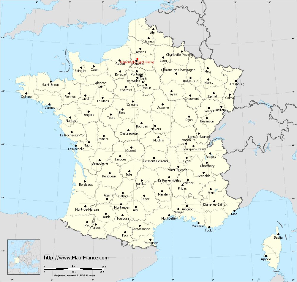
Map of Maisoncelle-Saint-Pierre with departments and prefectures
|
Voir la carte of Maisoncelle-Saint-Pierre en grand format (1000 x 949)
|
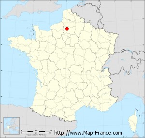
Here is the localization of Maisoncelle-Saint-Pierre on the France map of departments in Lambert 93 coordinates. The city of Maisoncelle-Saint-Pierre is shown on the map by a red point.
The town of Maisoncelle-Saint-Pierre is located in the department of Oise of the french region Picardie.
The latitude of Maisoncelle-Saint-Pierre is 49.511 degrees North.
The longitude of Maisoncelle-Saint-Pierre is 2.128 degrees East.
Here the distance between Maisoncelle-Saint-Pierre and the biggest cities of France:
Distances are calculated as the crow flies (orthodromic distance)
Distance between Maisoncelle-Saint-Pierre and Paris : 73.96 kilometers
Distance between Maisoncelle-Saint-Pierre and Marseille : 734.29 kilometers
Distance between Maisoncelle-Saint-Pierre and Lyon : 463.38 kilometers
Distance between Maisoncelle-Saint-Pierre and Toulouse : 658.79 kilometers
Distance between Maisoncelle-Saint-Pierre and Nice : 754.29 kilometers
Distance between Maisoncelle-Saint-Pierre and Nantes : 372.35 kilometers
Distance between Maisoncelle-Saint-Pierre and Strasbourg : 422.47 kilometers
Distance between Maisoncelle-Saint-Pierre and Montpellier : 669.16 kilometers
Distance between Maisoncelle-Saint-Pierre and Bordeaux : 557.28 kilometers
Distance between Maisoncelle-Saint-Pierre and Lille : 140.27 kilometers
Distance between Maisoncelle-Saint-Pierre and Rennes : 319.24 kilometers
Distance between Maisoncelle-Saint-Pierre and Reims : 140.52 kilometers
Clic here to see the map of Maisoncelle-Saint-Pierre in full screen:
Maisoncelle-Saint-Pierre on the map of french departments
|
This administrative map of Maisoncelle-Saint-Pierre is reusable and modifiable by making a link to this page of the Map-France.com website or by using the given code :
|
Administrative base maps of Maisoncelle-Saint-Pierre
|

See the administrative base map of Maisoncelle-Saint-Pierre in full screen (1000 x 949)
|
Small administrative base map of Maisoncelle-Saint-Pierre
|
This base map administrative of Maisoncelle-Saint-Pierre is reusable and modifiable by making a link to this page of the Map-France.com website or by using the given code :
|
 French Version : http://www.cartesfrance.fr