|
The village of Mellé is a small village located north west of France. The town of Mellé is located in the department of Ille-et-Vilaine of the french region Bretagne. The town of Mellé is located in the township of Louvigné-du-Désert part of the district of Fougères. The area code for Mellé is 35174 (also known as code INSEE), and the Mellé zip code is 35420.
Geography and map of Mellé :
The altitude of the city hall of Mellé is approximately 192 meters. The Mellé surface is 15.50 km ². The latitude and longitude of Mellé are 48.489 degrees North and 1.188 degrees West.
Nearby cities and towns of Mellé are :
Monthault (35420) at 2.57 km, Villamée (35420) at 3.72 km, Saint-Georges-de-Reintembault (35420) at 4.56 km, Louvigné-du-Désert (35420) at 5.01 km, Saint-Brice-de-Landelles (50730) at 5.85 km, Poilley (35420) at 5.95 km, Hamelin (50730) at 6.47 km, Saint-Martin-de-Landelles (50730) at 6.57 km.
(The distances to these nearby towns of Mellé are calculated as the crow flies)
Population and housing of Mellé :
The population of Mellé was 685 in 1999, 676 in 2006 and 673 in 2007. The population density of Mellé is 43.42 inhabitants per km². The number of housing of Mellé was 364 in 2007. These homes of Mellé consist of 279 main residences, 49 second or occasional homes and 36 vacant homes. |
|
|
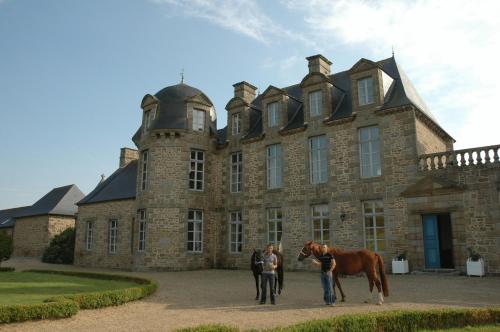
Hotel Mellé
|
|
|
Book now ! Best Price Guaranteed, no booking fees, pay at the hotel with our partner Booking.com, leader in online hotel reservation.
Find all hotels of Mellé : Hotel Mellé
| |
|
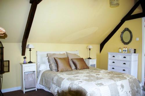
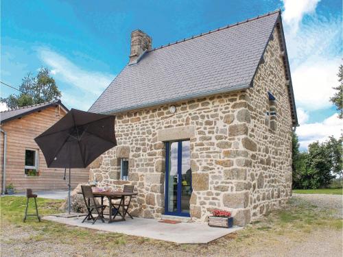
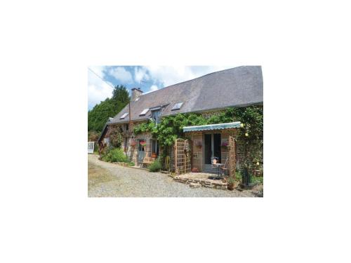
Bed and Breakfast : Les Touches
Set in Saint-Georges-de-Reintembault, Les Touches offers accommodation with a seasonal outdoor pool. Complimentary WiFi is offered. Some units have a terrace and/or balcony. A...
Rate : from 70.00 €
to 99.00 €
Address : Lieu dit Les Touches 35420 Saint-Georges-de-Reintembault
Distance Bed and Breakfast - Mellé : 3.81 km
|
|
|
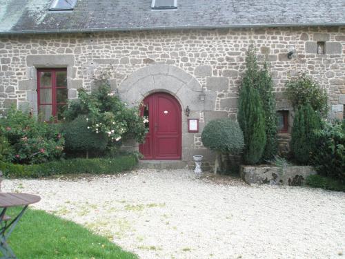
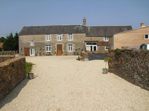
Bed and Breakfast : La Bourdière
La Bourdière is set 5 km from Landéan and 11 km from Fougères in the Brittany region and offers free Wi-Fi internet access. It features a wellness centre with a hot tub, sauna a...
Price : from 55.00 €
to 135.00 €
Contact : La Bourdière 35133 Landéan
Distance Bed and Breakfast - Mellé : 5.48 km
|
|
|
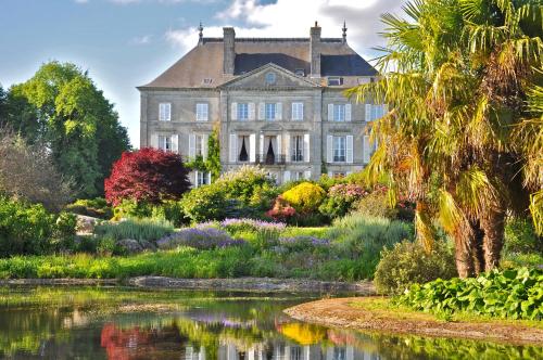
Hotel : Hotel The Originals Château du Bois Guy (ex Relais du Silence)


This 17-century castle is located on a 28-hectare parkland in Parigné village. It is set by a small lake and forest, and has its own chapel and a golf driving range. Rooms at H...
Prices : from 70.54 €
to 204.90 €
Contact : Le bois guy 35133 Parigné
Distance Hotel - Mellé : 5.77 km
|
|
|
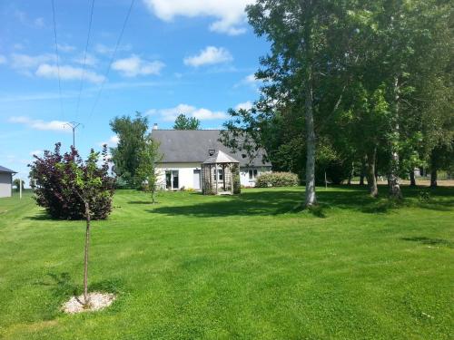
Guest accommodation : Holiday Home Villamee Le Champ Marie
Holiday Home Villamee Le Champ Marie is situated in Villamée. Guests staying at this holiday home have access to a fully equipped kitchen. The holiday home is fitted with a TV,...
Contact : 35420 Villamée
Distance Guest accommodation - Mellé : 6.00 km
|
|
|
Bed and Breakfast : John's B&B
Located in Le Ferré, John's B&B provides a garden and is surrounded by the countryside. The hosts are English. A continental breakfast is available daily at the property. Le M...
Price : from 66.00 €
to 70.00 €
Address : 18 Rue de Bretagne 35420 Le Ferré
Distance Bed and Breakfast - Mellé : 7.79 km
|
|
|
Bed and Breakfast : La Peignardiere
La Peignardiere is located in Parigné and features a terrace and a floral garden. The medieval castle of Fougères is less than 10 km away. The bedrooms include a fan and a view ...
Contact : La Peignardiere 35133 Parigné
Distance Bed and Breakfast - Mellé : 8.44 km
|
|
|
Guest accommodation : Chateau de la Foltière
Set in the botanic gardens of Upper Brittany, this 19th-century castle offers spacious guest rooms with antique furnishings, all overlooking the gardens. It is 34 km from Mont S...
Rate : from 110.00 €
to 220.00 €
Contact : Parc Botanique de Haute Bretagne 35133 Le Châtellier
Distance Guest accommodation - Mellé : 9.29 km
|
|
|
Guest accommodation : Three-Bedroom Holiday Home in Les Loges Marchis
Set in Les Loges-Marchis in the Lower Normandy region, Three-Bedroom Holiday Home in Les Loges Marchis is a 3-star property featuring free WiFi. The accommodation is 48 km from ...
Contact : 50600 Les Loges-Marchis
Distance Guest accommodation - Mellé : 9.62 km
|
|
|
Guest accommodation : Maison calme et campagne
Located in Saint-Brice-de-Landelles in the Lower Normandy Region, 31 km from Le Mont Saint Michel, Maison calme et campagne boasts a barbecue and views of the garden. Free WiFi ...
Prices : from 40.00 €
Address : 1 LE CERISIER 50730 Saint-Brice-de-Landelles
Distance Guest accommodation - Mellé : 9.90 km
|
|
|
Guest accommodation : Le Bois Gautier
Offering a year-round heated outdoor pool with a retractable cover, Le Bois Gautier is a 16th centuty farm house which has been converted into cottages. It is set on the outskir...
Rate : from 55.00 €
to 140.00 €
Contact : Le Bois Gautier 50640 Savigny-le-Vieux
Distance Guest accommodation - Mellé : 10.34 km
|
|
Find another hotel near Mellé : Mellé hotels list
|
Map of Mellé
|
|
Map of Mellé :
At right you can find the localization of Mellé on the map of France. Below, this is the satellite map of Mellé. A road map, and maps templates of Mellé are available here : "road map of Mellé". This map show Mellé seen by the satellite of Google Map. To see the streets of Mellé or move on another zone, use the buttons "zoom" and "map" on top of this dynamic map.
Search on the map of Mellé :
To search hotels, housings, tourist information office, administrations or other services, use the Google search integrated to the map on the following page : "map Mellé".
Hotels of Mellé are listed on the map with the following icons: 
The map of Mellé is centred in the following coordinates :
|

|
|
|
|
Print the map of Mellé

Print the map of Mellé : map of Mellé
|
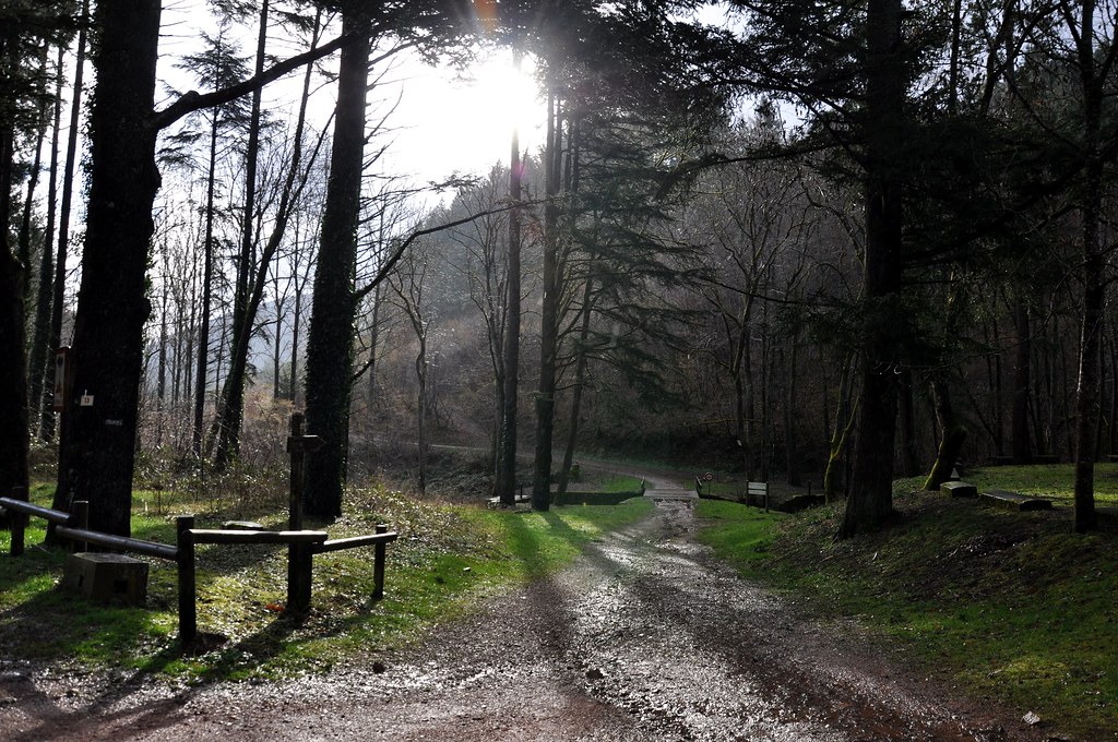
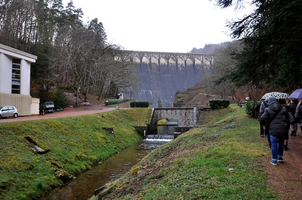
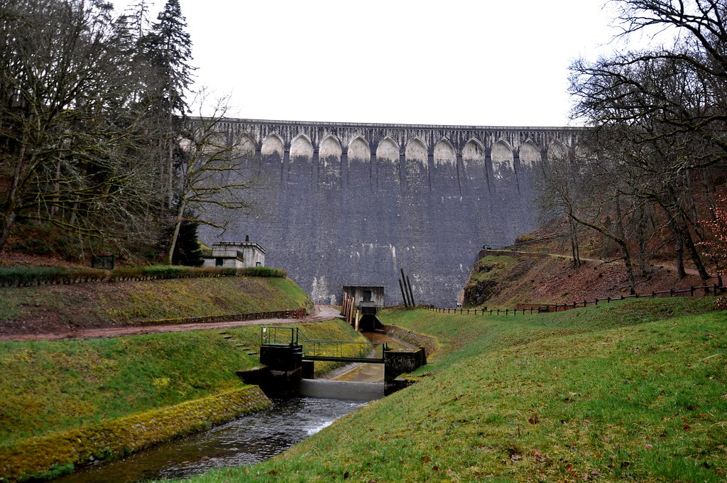
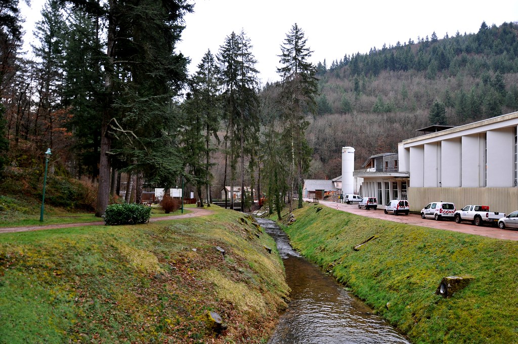
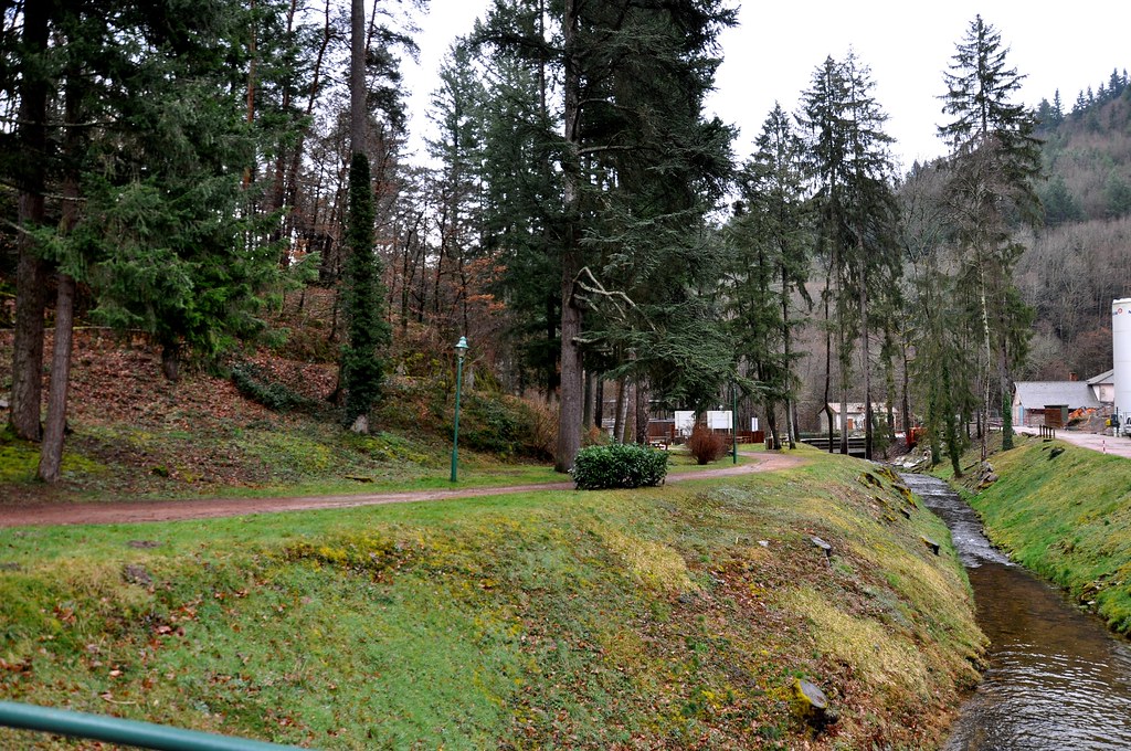
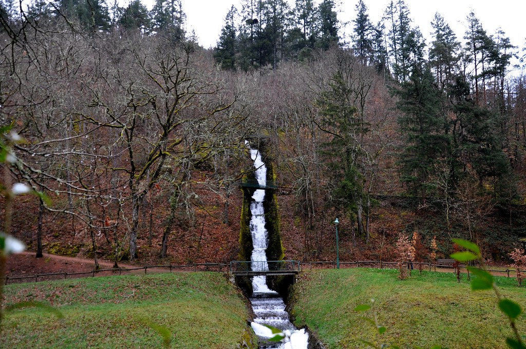
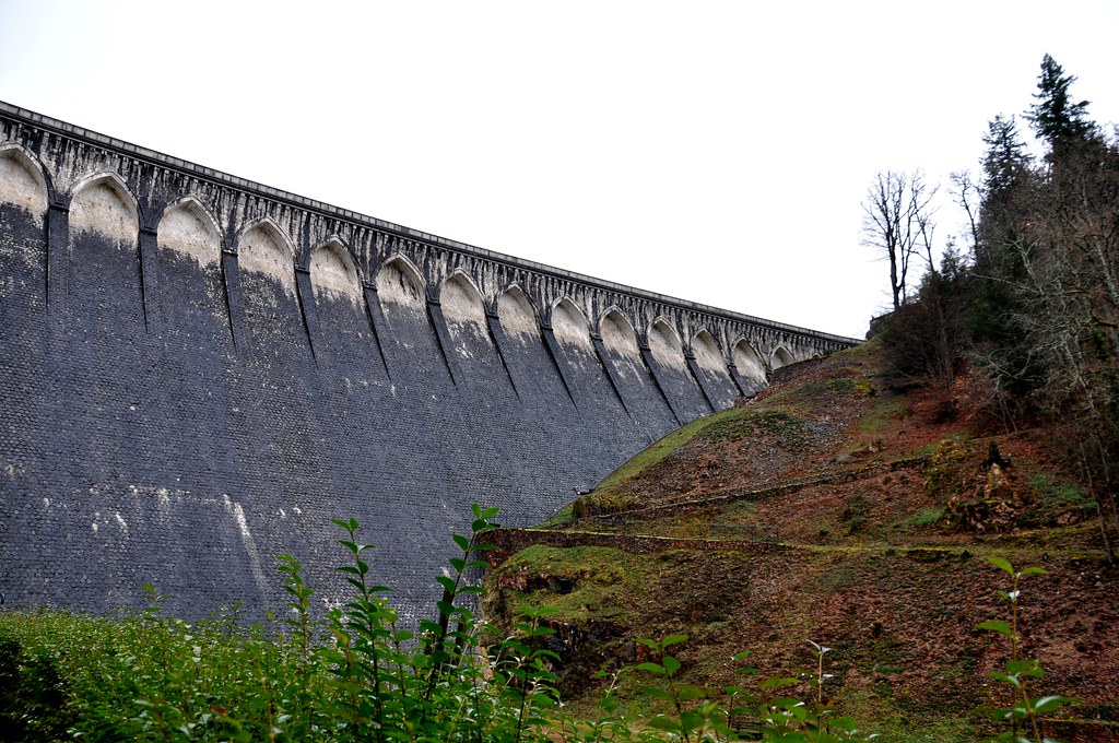
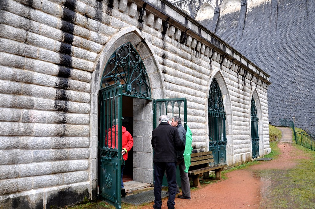
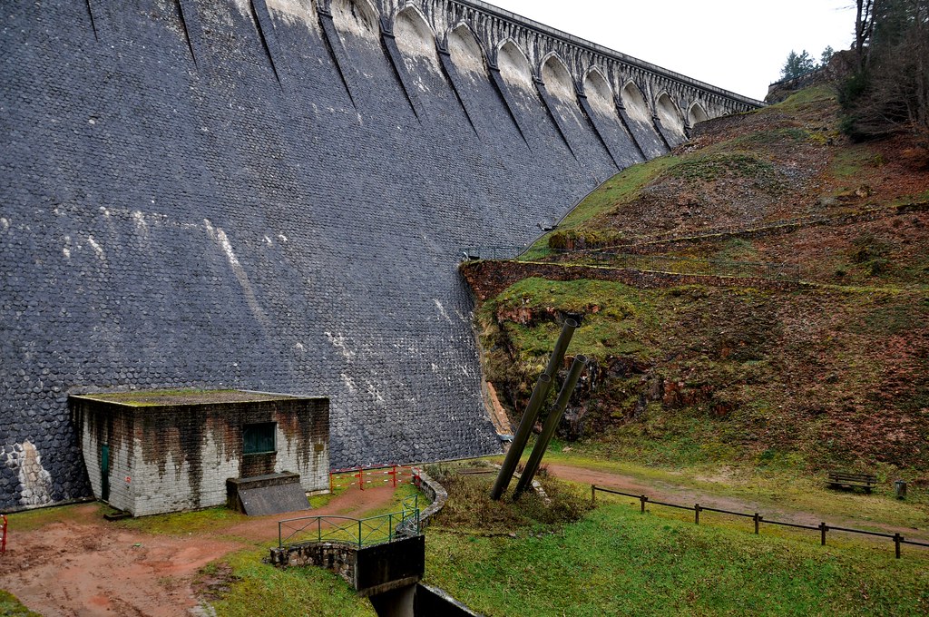
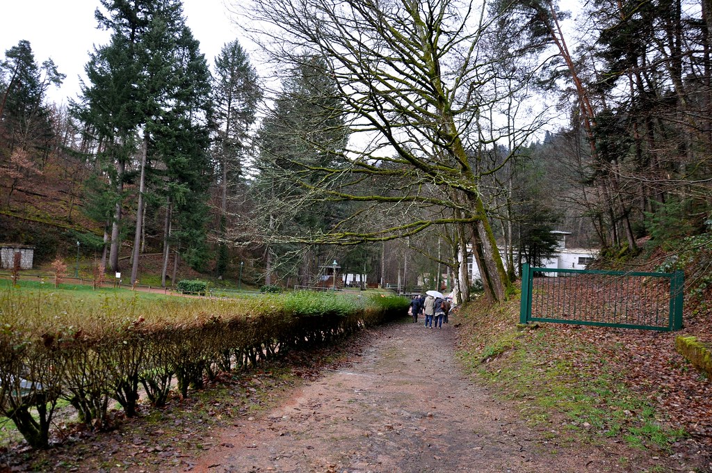
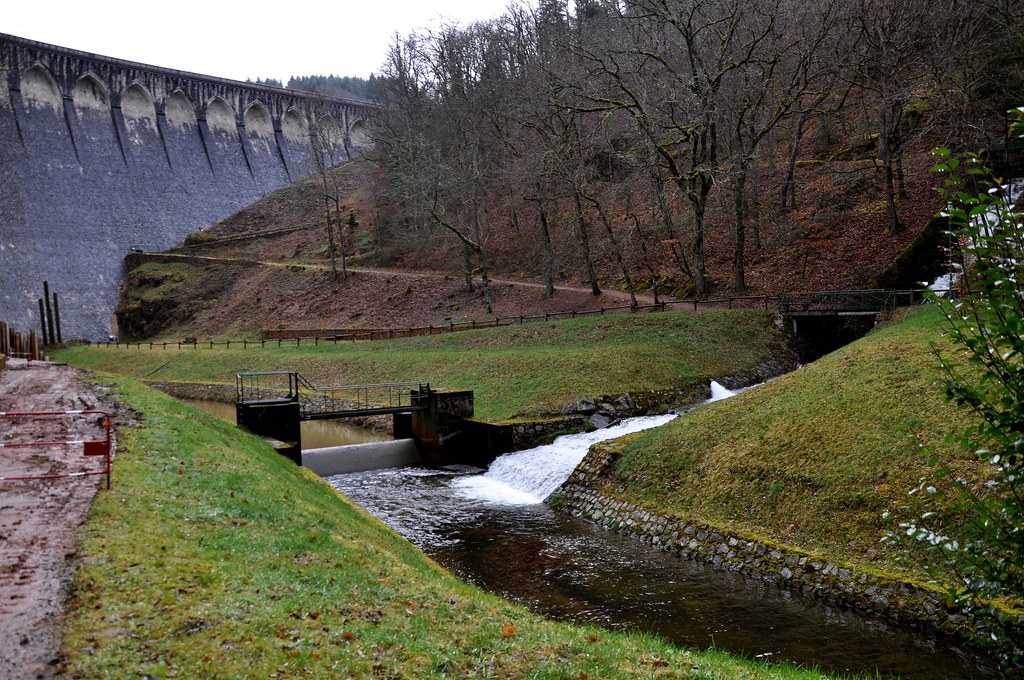
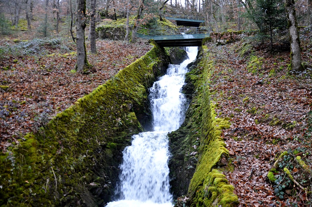
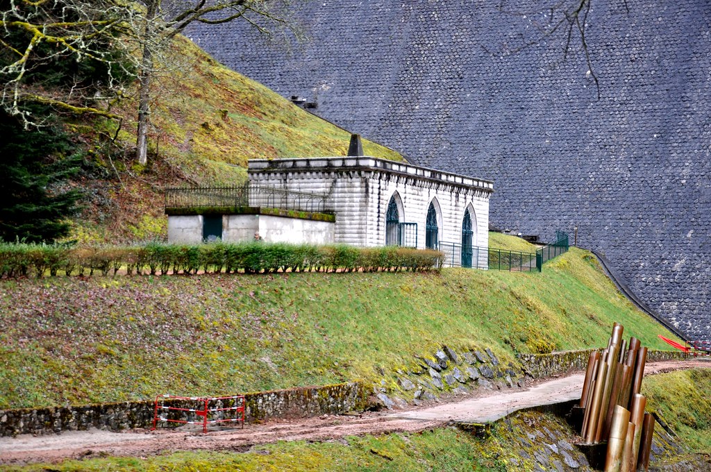
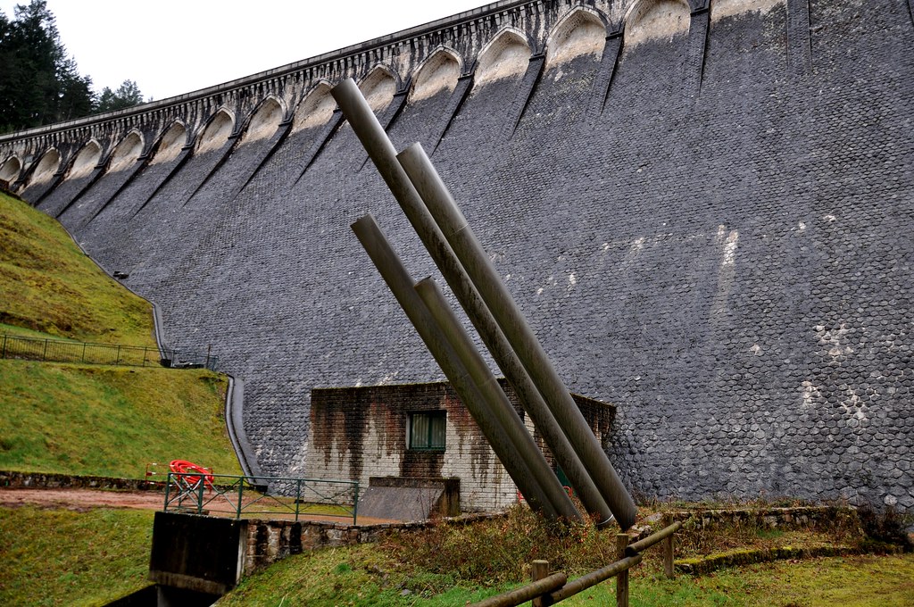
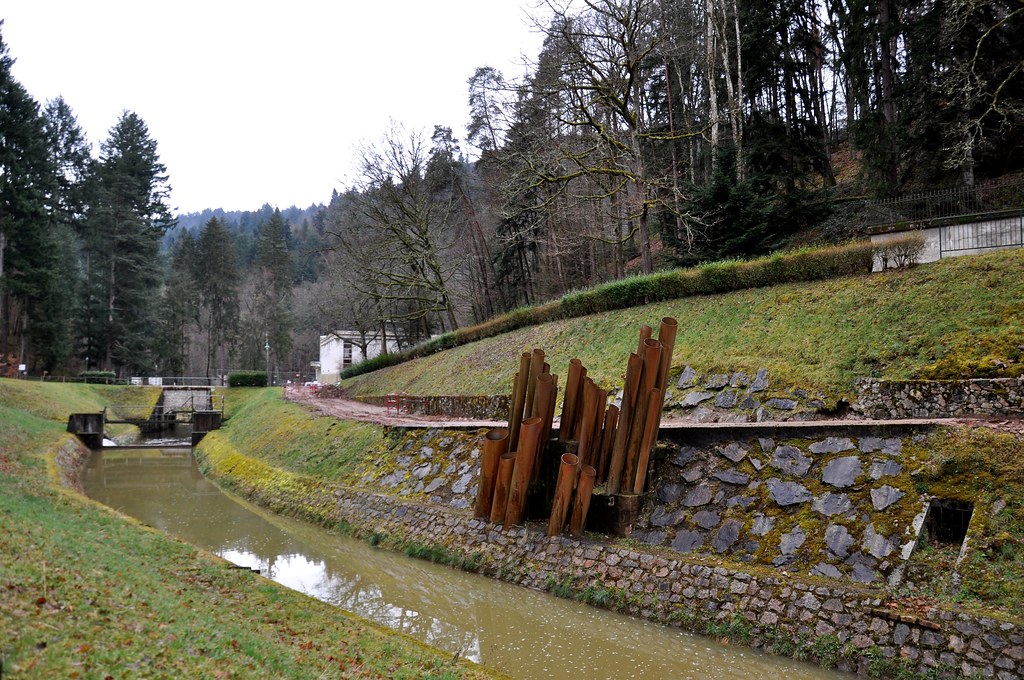
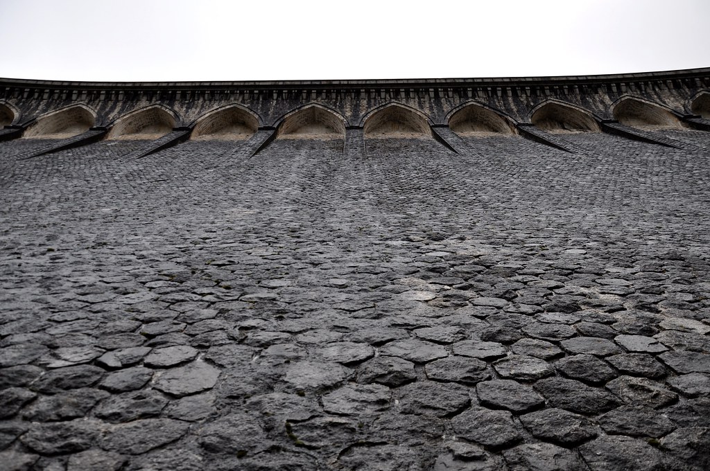
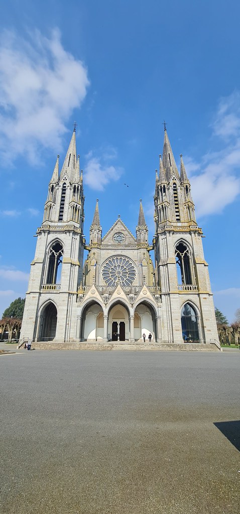
Photos Mellé
|
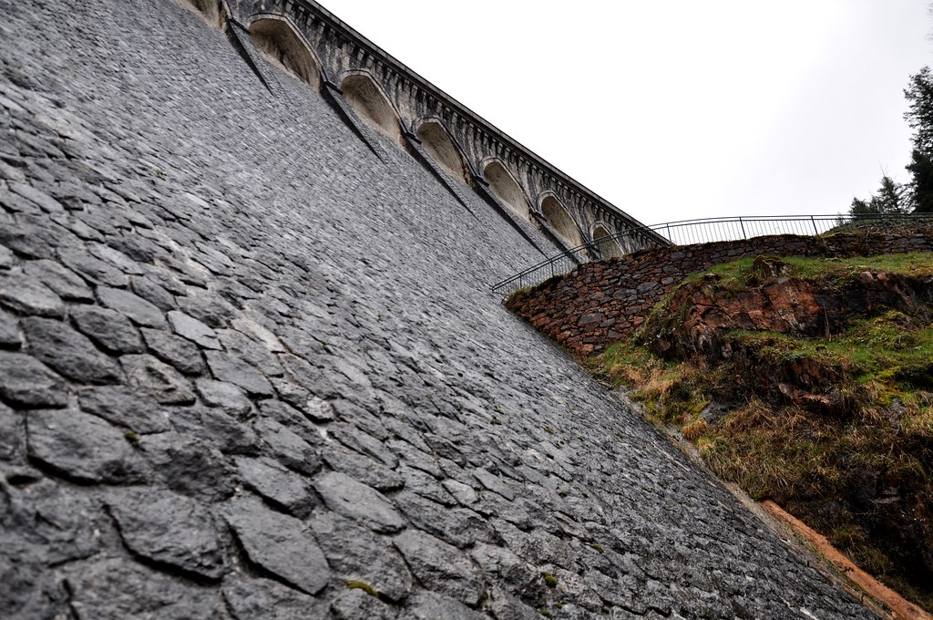
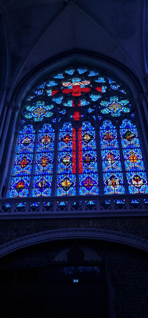
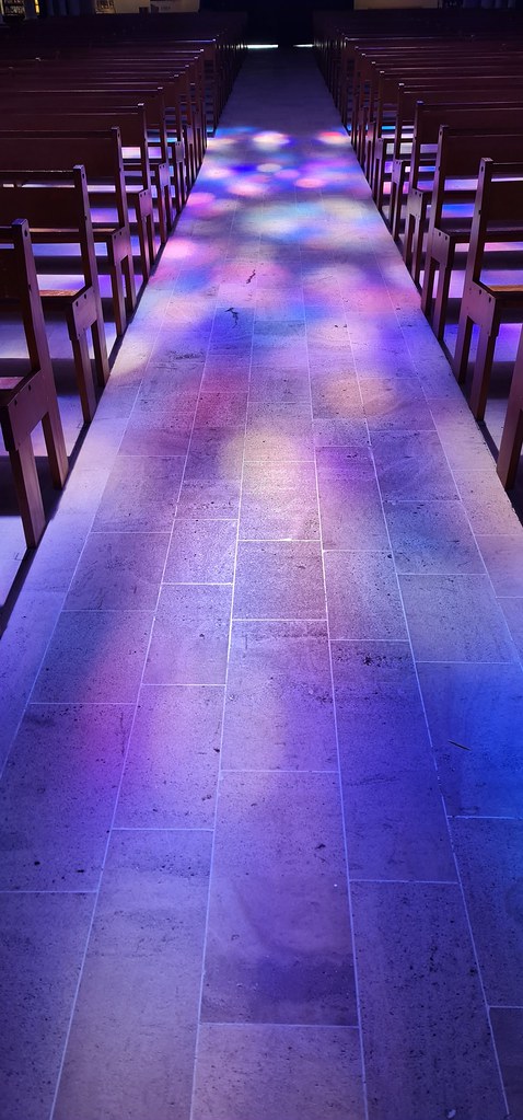
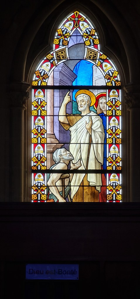
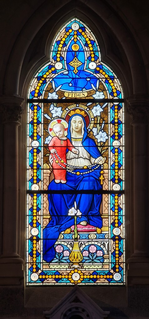
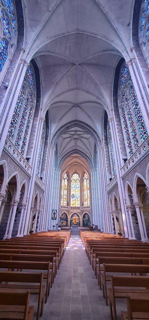
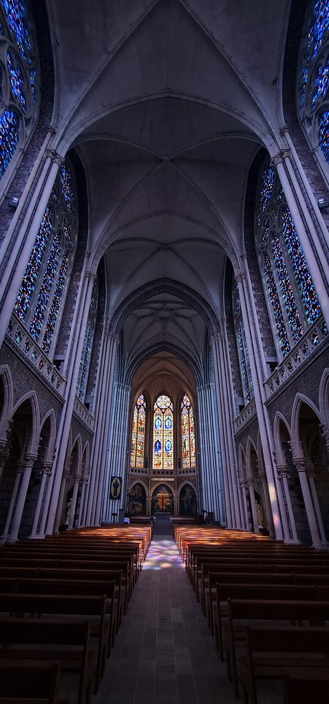
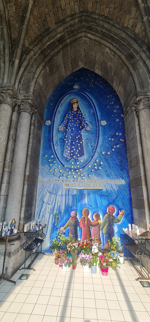
See all photos of Mellé :
Other photos of Mellé and nearby towns can be found here: photos Mellé
|
|
Mellé weather forecast
Find next hours and 7 days weather forecast for Mellé here : weather Mellé (with english metrics)
This is the last weather forecast for Mellé collected by the nearest observation station of Louvigné-du-Désert.
Week Forecast:
The latest weather data for Mellé were collected Monday, 14 July 2025 at 19:05 from the nearest observation station of Louvigné-du-Désert.
| Monday, July 14th |
23°C 15°C
37%
84%
|
Drizzle
Temperature Max: 23°C Temperature Min: 15°C
Precipitation Probability: 37% (Rain)
Percentage of sky occluded by clouds: 84%
Wind speed: 20 km/h North-East
Humidity: 68%° UV Index: 4
Sunrise: 06:17 Sunset: 22:02 |
|
| | Tuesday, July 15th |
24°C 12°C
9%
43%
|
Partly cloudy
Temperature Max: 24°C Temperature Min: 12°C
Precipitation Probability: 9% (Rain)
Percentage of sky occluded by clouds: 43%
Wind speed: 22 km/h East
Humidity: 59%° UV Index: 6
Sunrise: 06:19 Sunset: 22:01 |
|
| | Wednesday, July 16th |
23°C 16°C
49%
89%
|
Drizzle
Temperature Max: 23°C Temperature Min: 16°C
Precipitation Probability: 49% (Rain)
Percentage of sky occluded by clouds: 89%
Wind speed: 20 km/h East
Humidity: 75%° UV Index: 5
Sunrise: 06:20 Sunset: 22:00 |
|
| | Thursday, July 17th |
26°C 17°C
11%
66%
|
Mostly cloudy
Temperature Max: 26°C Temperature Min: 17°C
Precipitation Probability: 11% (Rain)
Percentage of sky occluded by clouds: 66%
Wind speed: 9 km/h South-East
Humidity: 71%° UV Index: 6
Sunrise: 06:21 Sunset: 21:59 |
|
|
Attribution: 
|
|
Other maps, hotels and towns in france
Find another town, zip code, department, region, ...
Quick links Mellé :
Make a link to this page of Mellé with the following code :
|
|
|
 French Version : http://www.cartesfrance.fr/carte-france-ville/35174_Melle.html