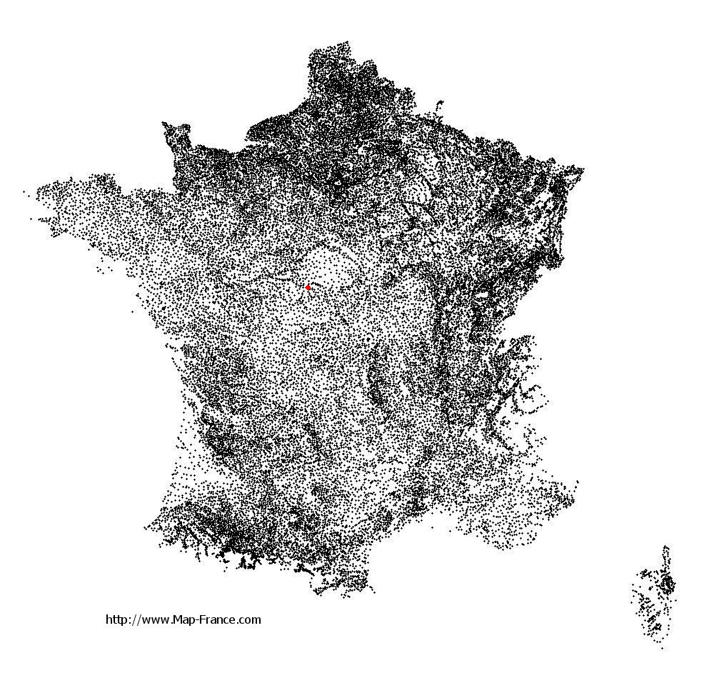
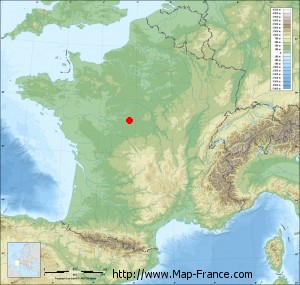
Menetou-sur-Nahon on the relief France map in Lambert 93 coordinates
|

See the map of Menetou-sur-Nahon in full screen (1000 x 949)
|
At left, here is the location of Menetou-sur-Nahon on the relief France map in Lambert 93 coordinates.
Here are the altitudes of Menetou-sur-Nahon :
- Town hall altitude of Menetou-sur-Nahon is 90 meters
- Minimum altitude of Menetou-sur-Nahon is 79 meters
- Maximum altitude of Menetou-sur-Nahon is 116 meters
- Medium altitude of Menetou-sur-Nahon is 98 meters
Here are the altitudes of Châteauroux, prefecture of Indre department:
- Town hall altitude of Châteauroux is 143 meters
- Minimum altitude of Châteauroux is 132 meters
- Maximum altitude of Châteauroux is 164 meters
- Medium altitude of Châteauroux is 148 meters
Here are the altitudes of the french biggest cities:
Paris : 33 meters
Marseille : 20 meters
Lyon : 237 meters
Toulouse : 146 meters
Nice : 10 meters
Nantes : 20 meters
Strasbourg : 144 meters
Montpellier : 35 meters
Bordeaux : 16 meters
Lille : 20 meters
Rennes : 35 meters
Reims : 83 meters
Click here for the terrain map of Menetou-sur-Nahon in full screen:
Relief map of Menetou-sur-Nahon
|
This relief map of Menetou-sur-Nahon is reusable and modifiable by making a link to this page of the Map-France.com website or by using the given code :
|
Terrain base map of Menetou-sur-Nahon
|

See the terrain base map of Menetou-sur-Nahon in full screen (1000 x 949)
|
Small relief base map of Menetou-sur-Nahon
|
This base map of Menetou-sur-Nahon is reusable and modifiable by making a link to this page of the Map-France.com website or by using the given code :
|
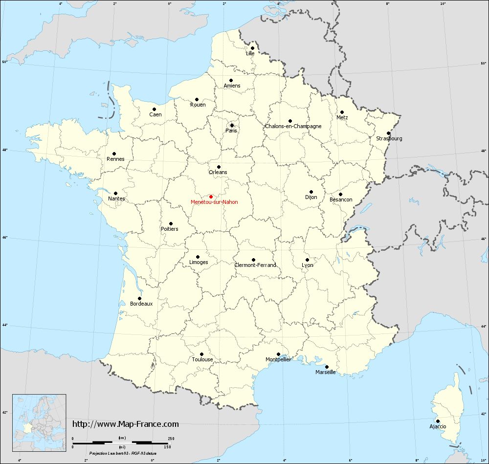
Map of Menetou-sur-Nahon with regions and prefectures
|
View the map of Menetou-sur-Nahon in full screen (1000 x 949)
|
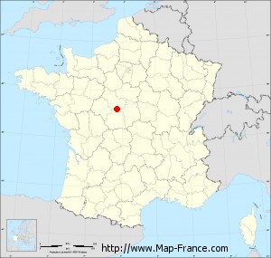
You will find the location of Menetou-sur-Nahon on the map of France of regions in Lambert 93 coordinates. The town of Menetou-sur-Nahon is located in the department of Indre of the french region Centre.
Geographical sexagesimal coordinates / GPS (WGS84):
Latitude: 47° 13' 07'' North
Longitude: 01° 38' 56'' East
Geographical decimal coordinates :
Latitude: 47.218 degrees (47.218° North)
Longitude: 1.648 degrees (1.648° East)
Lambert 93 coordinates :
X: 5 978 hectometers
Y: 66 807 hectometers
Lambert 2 coordinates :
X: 5 479 hectometers
Y: 22 468 hectometers
Below, the geographical coordinates of Châteauroux, prefecture of the Indre department:
Geographical sexagesimal coordinates / GPS (WGS84):
Latitude: 46° 48' 35'' North
Longitude: 01° 41' 25'' East
Geographical decimal coordinates :
Latitude: 46.811 degrees (46.811° North)
Longitude: 1.699 degrees (1.699° East)
Lambert 93 coordinates :
X: 6 001 hectometers
Y: 66 352 hectometers
Lambert 2 coordinates :
X: 5 507 hectometers
Y: 22 013 hectometers
|
This map of Menetou-sur-Nahon is reusable and modifiable by making a link to this page of the Map-France.com website or by using the given code :
|
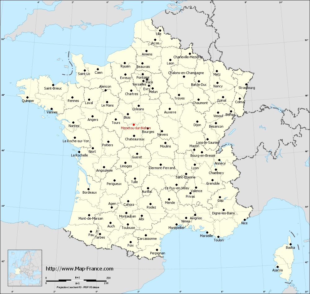
Map of Menetou-sur-Nahon with departments and prefectures
|
Voir la carte of Menetou-sur-Nahon en grand format (1000 x 949)
|
Here is the localization of Menetou-sur-Nahon on the France map of departments in Lambert 93 coordinates. The city of Menetou-sur-Nahon is shown on the map by a red point.
The town of Menetou-sur-Nahon is located in the department of Indre of the french region Centre.
The latitude of Menetou-sur-Nahon is 47.218 degrees North.
The longitude of Menetou-sur-Nahon is 1.648 degrees East.
Here the distance between Menetou-sur-Nahon and the biggest cities of France:
Distances are calculated as the crow flies (orthodromic distance)
Distance between Menetou-sur-Nahon and Paris : 189.74 kilometers
Distance between Menetou-sur-Nahon and Marseille : 525.08 kilometers
Distance between Menetou-sur-Nahon and Lyon : 292.70 kilometers
Distance between Menetou-sur-Nahon and Toulouse : 402.28 kilometers
Distance between Menetou-sur-Nahon and Nice : 585.98 kilometers
Distance between Menetou-sur-Nahon and Nantes : 241.57 kilometers
Distance between Menetou-sur-Nahon and Strasbourg : 479.49 kilometers
Distance between Menetou-sur-Nahon and Montpellier : 436.94 kilometers
Distance between Menetou-sur-Nahon and Bordeaux : 314.65 kilometers
Distance between Menetou-sur-Nahon and Lille : 392.34 kilometers
Distance between Menetou-sur-Nahon and Rennes : 267.89 kilometers
Distance between Menetou-sur-Nahon and Reims : 287.18 kilometers
Clic here to see the map of Menetou-sur-Nahon in full screen:
Menetou-sur-Nahon on the map of french departments
|
This administrative map of Menetou-sur-Nahon is reusable and modifiable by making a link to this page of the Map-France.com website or by using the given code :
|
Administrative base maps of Menetou-sur-Nahon
|

See the administrative base map of Menetou-sur-Nahon in full screen (1000 x 949)
|
Small administrative base map of Menetou-sur-Nahon
|
This base map administrative of Menetou-sur-Nahon is reusable and modifiable by making a link to this page of the Map-France.com website or by using the given code :
|
 French Version : http://www.cartesfrance.fr