|
The village of Nan-sous-Thil is a small village located east center of France. The town of Nan-sous-Thil is located in the department of Côte-d'Or of the french region Bourgogne. The town of Nan-sous-Thil is located in the township of Précy-sous-Thil part of the district of Montbard. The area code for Nan-sous-Thil is 21449 (also known as code INSEE), and the Nan-sous-Thil zip code is 21390.
Geography and map of Nan-sous-Thil :
The altitude of the city hall of Nan-sous-Thil is approximately 380 meters. The Nan-sous-Thil surface is 10.99 km ². The latitude and longitude of Nan-sous-Thil are 47.374 degrees North and 4.359 degrees East.
Nearby cities and towns of Nan-sous-Thil are :
Marcigny-sous-Thil (21390) at 2.69 km, Fontangy (21390) at 2.99 km, Précy-sous-Thil (21390) at 3.72 km, Vic-sous-Thil (21390) at 3.80 km, Brianny (21390) at 4.70 km, Noidan (21390) at 4.98 km, Clamerey (21390) at 5.28 km, Roilly (21390) at 5.33 km.
(The distances to these nearby towns of Nan-sous-Thil are calculated as the crow flies)
Population and housing of Nan-sous-Thil :
The population of Nan-sous-Thil was 175 in 1999, 181 in 2006 and 181 in 2007. The population density of Nan-sous-Thil is 16.47 inhabitants per km². The number of housing of Nan-sous-Thil was 116 in 2007. These homes of Nan-sous-Thil consist of 86 main residences, 15 second or occasional homes and 15 vacant homes. |
|
|
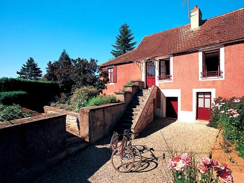
Hotel Nan-sous-Thil
|
|
|
Book now ! Best Price Guaranteed, no booking fees, pay at the hotel with our partner Booking.com, leader in online hotel reservation.
Find all hotels of Nan-sous-Thil : Hotel Nan-sous-Thil
| |
|
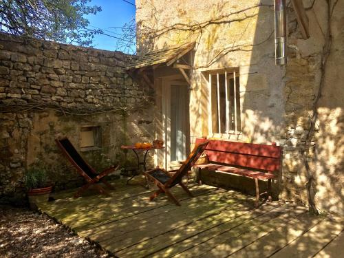
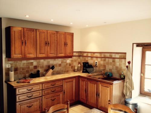
Apartment : Le Studio de Brianny
Le Studio de Brianny is located in Brianny, 14 km from Semur en Auxois. The property was built in 18th century, and features accommodation with free WiFi. The studio includes a...
Rate : from 60.00 €
Address : 23 rue du Grand Brianny 21390 Brianny
Distance Apartment - Nan-sous-Thil : 4.10 km
|
|

|
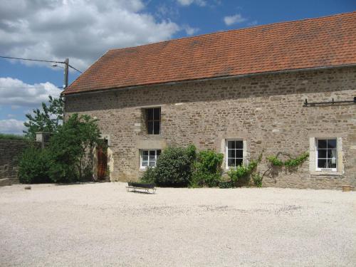
Hotel : Le Terminus
Le Terminus is situated in Pont-dʼAisy and features a garden and a terrace. Providing a restaurant, the property also has a bar. Free WiFi is included. Certain rooms are fitted...
Price : from 56.00 €
to 120.00 €
Contact : 2 Route de Maison Neuve - Précy-sous-Thil 21390 Pont-dʼAisy
Distance Hotel - Nan-sous-Thil : 4.43 km
|
|
|
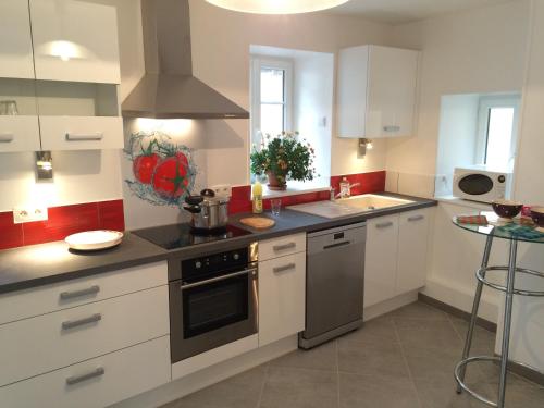
Guest accommodation : Gite Le Village
Gite Le Village is a holiday home set in Normier. The holiday home boasts garden views and is 55 km from Dijon. The holiday home includes 3 bedrooms, a kitchen with a dishwashe...
Contact : 11 rue Amont 21390 Normier
Distance Guest accommodation - Nan-sous-Thil : 5.59 km
|
|
|
Guest accommodation : La maison de Jeannot

Featuring a garden and a terrace, La maison de Jeannot features accommodation in Aisy-sous-Thil with free WiFi and garden views. This property offers access to ping-pong. The h...
Contact : 2 Rue d'Amont 21390 Aisy-sous-Thil
Distance Guest accommodation - Nan-sous-Thil : 5.87 km
|
|

|
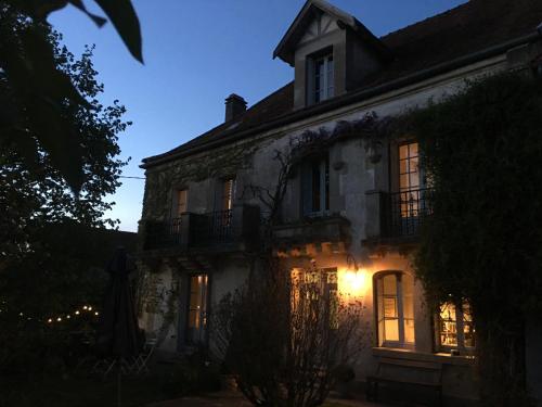
Bed and Breakfast : Château de Flée
Located a 10-minute drive from Semur-en-Auxois, this Château features a park with an outdoor swimming pool, free Wi-Fi in the public areas and free private parking. The A6 motor...
Address : Rue de l'Eglise 21140 Semur-en-Auxois
Distance Bed and Breakfast - Nan-sous-Thil : 7.41 km
|
|
|
Bed and Breakfast : Le Pré Germain
Set in Beurizot, Le Pré Germain features accommodation with free WiFi and free bikes. A flat-screen TV with satellite channels and DVD player are available in some units. A co...
Prices : from 100.00 €
to 135.00 €
Contact : 1 Rue de beurey 21350 Beurizot
Distance Bed and Breakfast - Nan-sous-Thil : 10.42 km
|
|

|
Guest accommodation : Les Lodges du Canal de Bourgogne
Located in Chassey, Les Lodges du Canal de Bourgogne offers accommodation with free WiFi, a garden with a barbecue, and access to a spa centre and a hot tub. All units come wit...
Rate : from 200.00 €
to 210.00 €
Contact : Ecluse 31Y 21150 Chassey
Distance Guest accommodation - Nan-sous-Thil : 12.30 km
|
|
|
Guest accommodation : Holiday Home La Lochere
Holiday Home La Lochere is situated in Marigny-le-Cahouet. Guests are welcome to enjoy the free WiFi. The holiday home comes with 2 separate bedrooms and includes a kitchen wit...
Contact : 21150 Marigny-le-Cahouet
Distance Guest accommodation - Nan-sous-Thil : 12.40 km
|
|
|
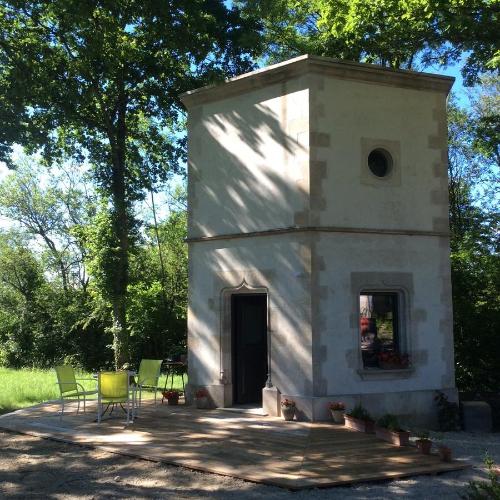
Guest accommodation : Hexagonal Tower for 2
Offering free WiFi and garden views, Hexagonal Tower for 2 is an accommodation situated in Semur-en-Auxois. Guests staying at this holiday home have access to a fully equipped k...
Prices : from 98.00 €
Address : 3 Avenue Jean Mermoz 21140 Semur-en-Auxois
Distance Guest accommodation - Nan-sous-Thil : 12.70 km
|
|
|
Guest accommodation : La Chouette
Located in Semur-en-Auxois, La Chouette provides air-conditioned accommodation with a balcony and free WiFi. Guests staying at this holiday home have access to a fully equipped ...
Contact : 10 rue Chaude 21140 Semur-en-Auxois
Distance Guest accommodation - Nan-sous-Thil : 13.03 km
|
|
Find another hotel near Nan-sous-Thil : Nan-sous-Thil hotels list
|
Map of Nan-sous-Thil
|
|
Map of Nan-sous-Thil :
At right you can find the localization of Nan-sous-Thil on the map of France. Below, this is the satellite map of Nan-sous-Thil. A road map, and maps templates of Nan-sous-Thil are available here : "road map of Nan-sous-Thil". This map show Nan-sous-Thil seen by the satellite of Google Map. To see the streets of Nan-sous-Thil or move on another zone, use the buttons "zoom" and "map" on top of this dynamic map.
Search on the map of Nan-sous-Thil :
To search hotels, housings, tourist information office, administrations or other services, use the Google search integrated to the map on the following page : "map Nan-sous-Thil".
Hotels of Nan-sous-Thil are listed on the map with the following icons: 
The map of Nan-sous-Thil is centred in the following coordinates :
|

|
|
|
|
Print the map of Nan-sous-Thil

Print the map of Nan-sous-Thil : map of Nan-sous-Thil
|
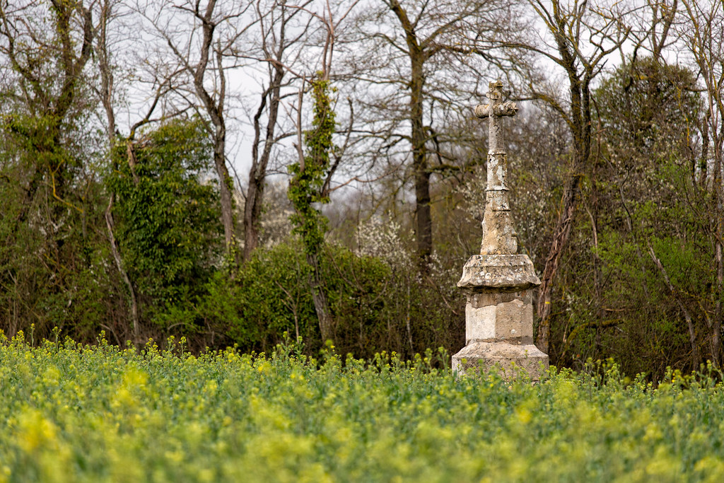
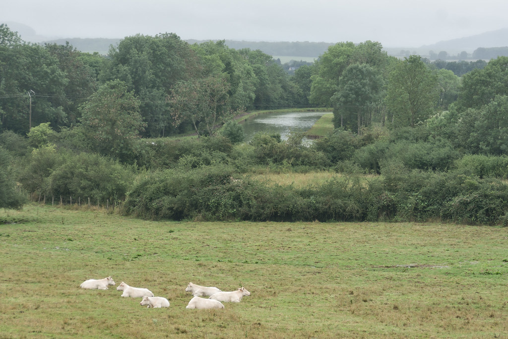
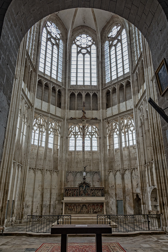
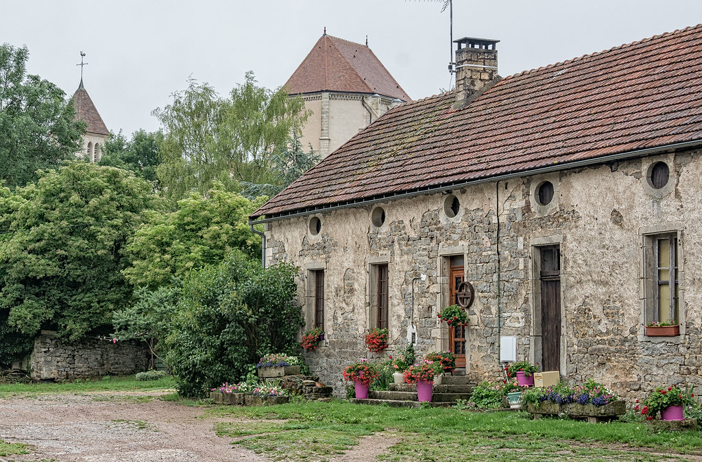
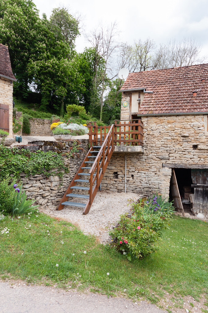
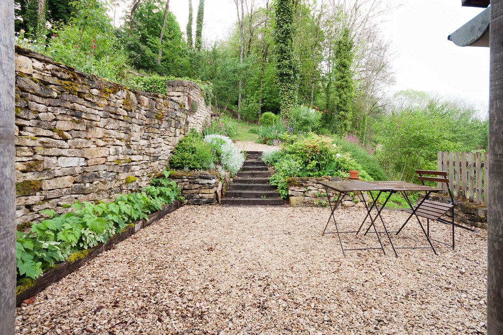
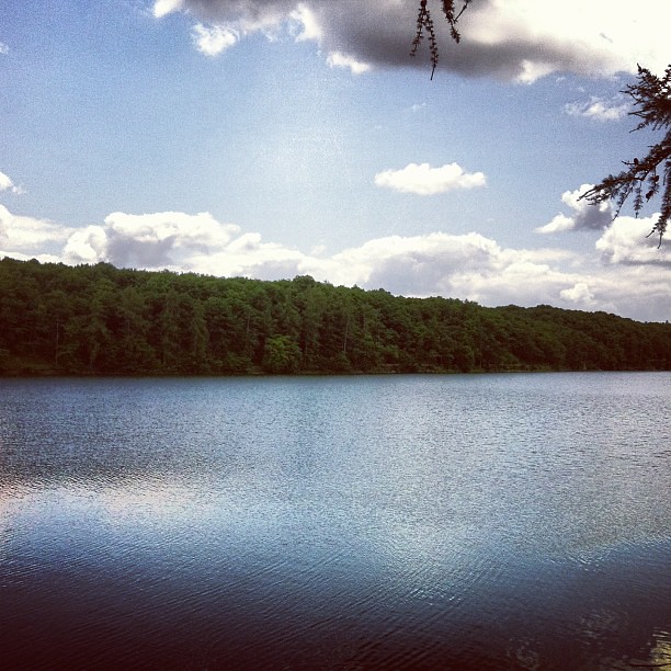
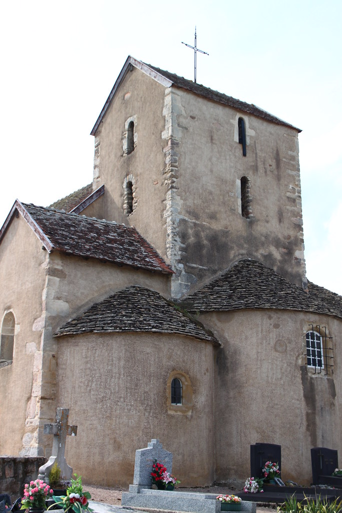
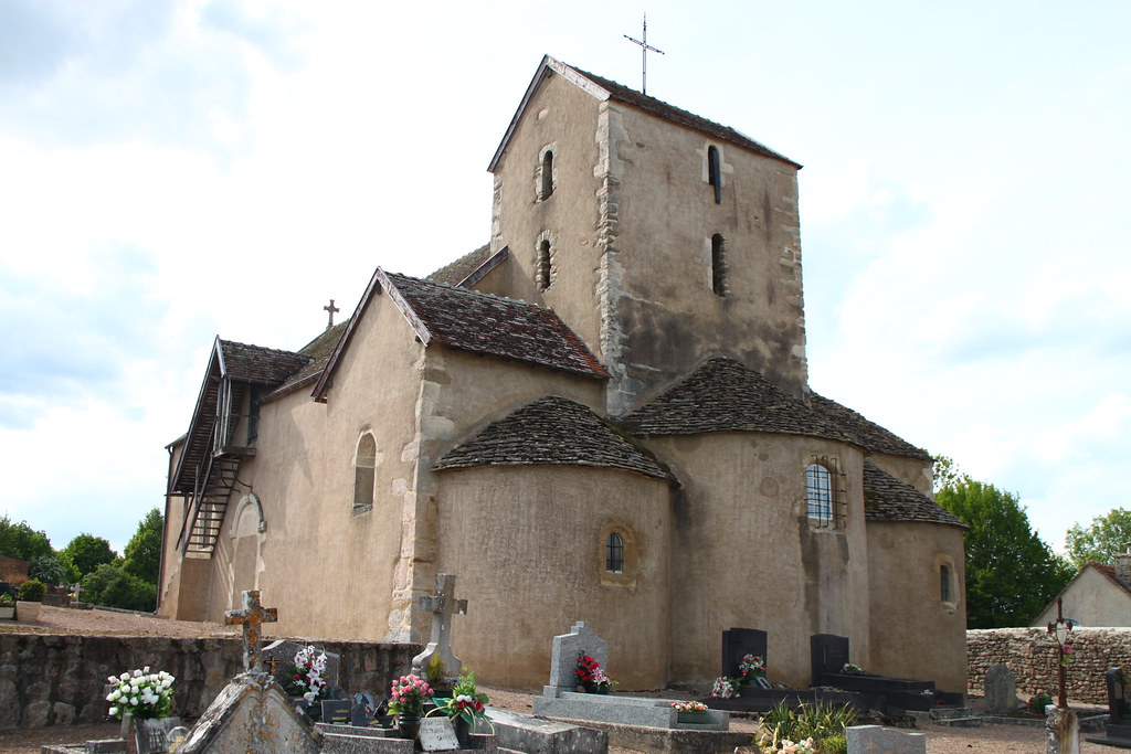
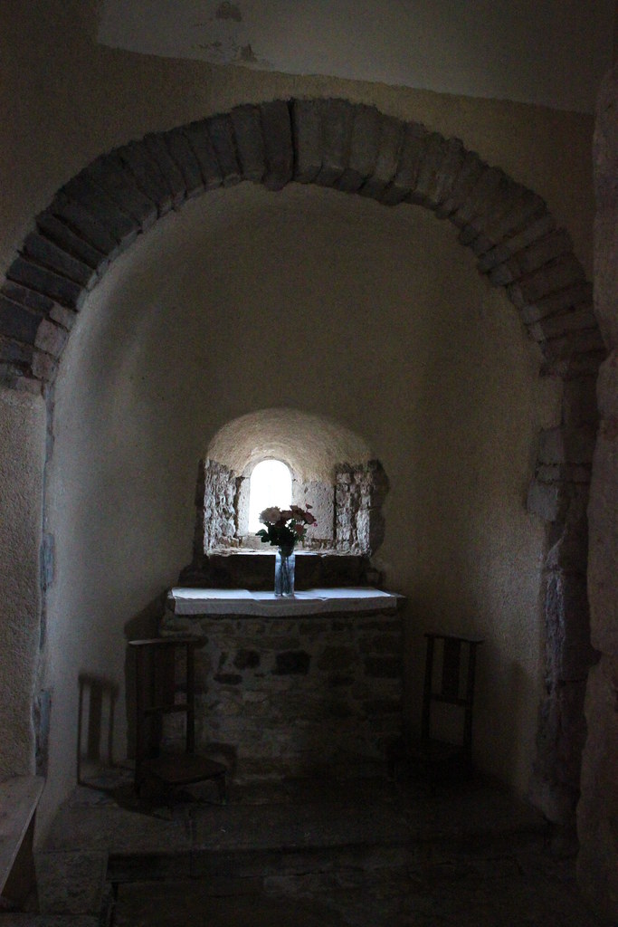
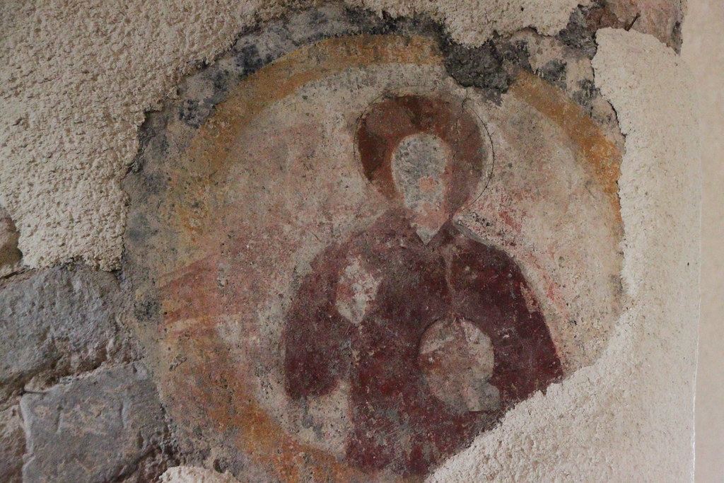
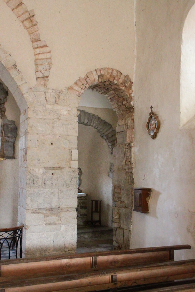
Photos Nan-sous-Thil
|
See all photos of Nan-sous-Thil :
Other photos of Nan-sous-Thil and nearby towns can be found here: photos Nan-sous-Thil
|
|
Nan-sous-Thil weather forecast
Find next hours and 7 days weather forecast for Nan-sous-Thil here : weather Nan-sous-Thil (with english metrics)
This is the last weather forecast for Nan-sous-Thil collected by the nearest observation station of Précy-sous-Thil.
Week Forecast:
The latest weather data for Nan-sous-Thil were collected Tuesday, 01 July 2025 at 19:02 from the nearest observation station of Précy-sous-Thil.
| Tuesday, July 1st |
35°C 18°C
0%
11%
|
Clear
Temperature Max: 35°C Temperature Min: 18°C
Precipitation Probability: 0%
Percentage of sky occluded by clouds: 11%
Wind speed: 7 km/h South
Humidity: 39%° UV Index: 9
Sunrise: 05:50 Sunset: 21:43 |
|
| | Wednesday, July 2nd |
35°C 19°C
0%
31%
|
Mostly clear
Temperature Max: 35°C Temperature Min: 19°C
Precipitation Probability: 0%
Percentage of sky occluded by clouds: 31%
Wind speed: 9 km/h North-East
Humidity: 36%° UV Index: 8
Sunrise: 05:50 Sunset: 21:42 |
|
| | Thursday, July 3rd |
27°C 17°C
22%
45%
|
Partly cloudy
Temperature Max: 27°C Temperature Min: 17°C
Precipitation Probability: 22% (Rain)
Percentage of sky occluded by clouds: 45%
Wind speed: 12 km/h South
Humidity: 61%° UV Index: 7
Sunrise: 05:51 Sunset: 21:42 |
|
| | Friday, July 4th |
28°C 13°C
0%
10%
|
Clear
Temperature Max: 28°C Temperature Min: 13°C
Precipitation Probability: 0%
Percentage of sky occluded by clouds: 10%
Wind speed: 10 km/h South
Humidity: 43%° UV Index: 8
Sunrise: 05:52 Sunset: 21:42 |
|
|
Attribution: 
|
|
Other maps, hotels and towns in france
Find another town, zip code, department, region, ...
Quick links Nan-sous-Thil :
Make a link to this page of Nan-sous-Thil with the following code :
|
|
|
 French Version : http://www.cartesfrance.fr/carte-france-ville/21449_Nan-sous-Thil.html