|
The village of Oberhergheim is a small french village located north east of France. The town of Oberhergheim is located in the department of Haut-Rhin of the french region Alsace. The town of Oberhergheim is located in the township of Ensisheim part of the district of Guebwiller. The area code for Oberhergheim is 68242 (also known as code INSEE), and the Oberhergheim zip code is 68127.
Geography and map of Oberhergheim :
The altitude of the city hall of Oberhergheim is approximately 204 meters. The Oberhergheim surface is 19.86 km ². The latitude and longitude of Oberhergheim are 47.968 degrees North and 7.396 degrees East.
Nearby cities and towns of Oberhergheim are :
Biltzheim (68250) at 1.28 km, Niederhergheim (68127) at 1.97 km, Niederentzen (68250) at 2.53 km, Oberentzen (68250) at 3.23 km, Sainte-Croix-en-Plaine (68127) at 4.56 km, Rustenhart (68740) at 5.65 km, Logelheim (68280) at 5.78 km, Munwiller (68250) at 5.79 km.
(The distances to these nearby towns of Oberhergheim are calculated as the crow flies)
Population and housing of Oberhergheim :
The population of Oberhergheim was 1 104 in 1999, 1 161 in 2006 and 1 185 in 2007. The population density of Oberhergheim is 59.67 inhabitants per km². The number of housing of Oberhergheim was 484 in 2007. These homes of Oberhergheim consist of 456 main residences, 5 second or occasional homes and 23 vacant homes. |
|
|
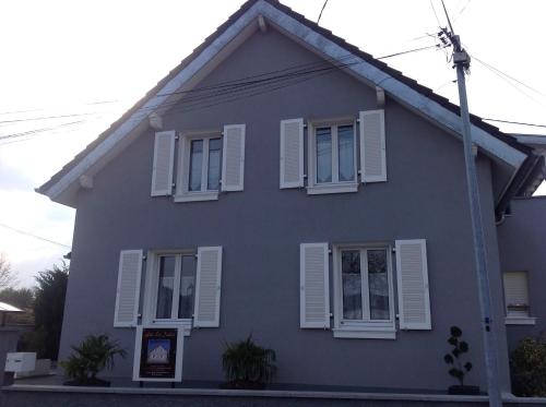
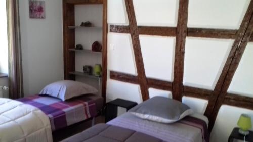
Hotel Oberhergheim
|
|
|
Book now ! Best Price Guaranteed, no booking fees, pay at the hotel with our partner Booking.com, leader in online hotel reservation.
Find all hotels of Oberhergheim : Hotel Oberhergheim
| |
|
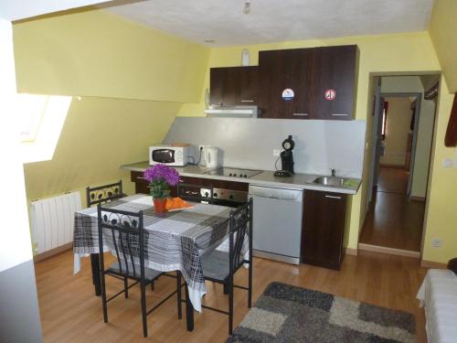
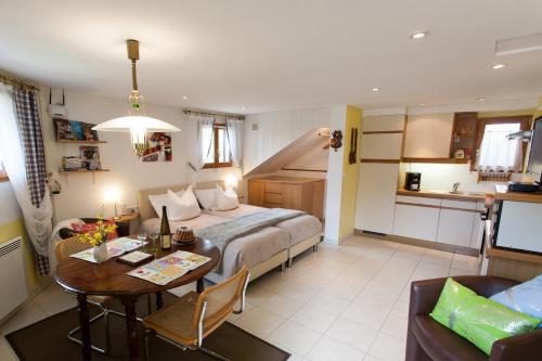
Apartment : Azede

Located in Niederhergheim, Azede is a detached holiday home located only 6 km from Alsace Golf Club and 10 km from Colmar. This self-catering accommodation includes free WiFi an...
Address : 9 rue d'Oberhergheim 68127 Niederhergheim
Distance Apartment - Oberhergheim : 1.89 km
|
|
|
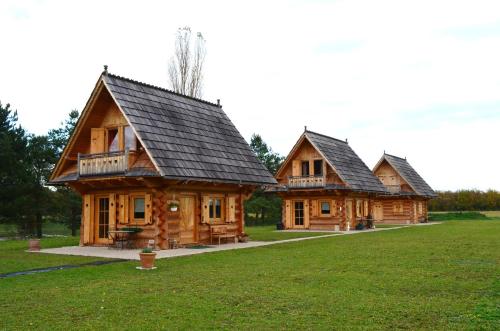
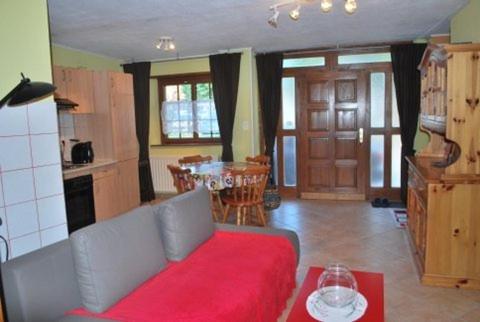
Guest accommodation : La Clé Des Champs
Located in Biltzheim, La Clé Des Champs offers unique chalet-style accommodation with self-catering facilities. Colmar is a 20-minute drive away. The chalet offers a terrace, g...
Contact : Hinder Der Leh Chemin Du Lehweg 68127 Rouffach
Distance Guest accommodation - Oberhergheim : 3.51 km
|
|

|
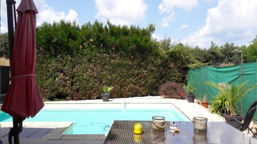
Apartment : Le Cocon de Sainte Croix
Boasting barbecue facilities, a garden, and a terrace, Le Cocon de Sainte Croix provides accommodation in Sainte-Croix-en-Plaine with free WiFi and mountain views. Housed in a b...
Contact : 22 Rue de Neuf Brisach 68127 Sainte-Croix-en-Plaine
Distance Apartment - Oberhergheim : 4.19 km
|
|
|
Guest accommodation : Happy Plaine
Featuring an outdoor pool and mountain views, Happy Plaine is located in Sainte-Croix-en-Plaine. This holiday home features barbecue facilities, a garden as well as free WiFi. ...
Contact : 22 rue des vosges 68127 Sainte-Croix-en-Plaine
Distance Guest accommodation - Oberhergheim : 4.21 km
|
|
|
Apartment : Gîte des jardins
Providing a garden, Gîte des jardins features accommodation in Dessenheim. Free WiFi is provided. There is also a kitchen in some of the units equipped with a dishwasher. The ...
Price : from 80.00 €
to 95.00 €
Address : 11 rue des jardins 68600 Dessenheim
Distance Apartment - Oberhergheim : 6.78 km
|
|
|
Apartment : Studio Rouffach

Situated in Rouffach, along the Alsatian wine route and 600 metres from the train station, Studio Rouffach offers a garden and a furnished terrace. It includes a flat-screen TV ...
Contact : 17 rue des bonnes gens 68250 Rouffach
Distance Apartment - Oberhergheim : 6.83 km
|
|
|
Bed and Breakfast : La Maison D'ayona
Featuring free WiFi throughout the property and free private parking, La Maison D'ayona offers accommodation in Herrlisheim-près-Colmar, 7 km from Colmar. The bed and breakfast ...
Rate : from 70.00 €
Contact : 9 rue de la scierie 68420 Herrlisheim-près-Colmar
Distance Bed and Breakfast - Oberhergheim : 7.19 km
|
|
|
Guest accommodation : Chez Alfred et Régine
Chez Alfred et Régine is a one-bedroom cottage in Rouffach, just 14 km from Colmar and 26 km from Mulhouse. The holiday home offers free Wi-Fi access and a patio, and bikes can ...
Contact : 12, Place de la République 68250 Rouffach
Distance Guest accommodation - Oberhergheim : 7.20 km
|
|
|
Apartment : Gite Notre Dame
Gite Notre Dame is situated in Rouffach. Guests staying at this apartment have access to free WiFi and a fully equipped kitchen. The apartment comes with a flat-screen TV. Fis...
Address : 12 place de la Republique 68250 Rouffach
Distance Apartment - Oberhergheim : 7.20 km
|
|
|
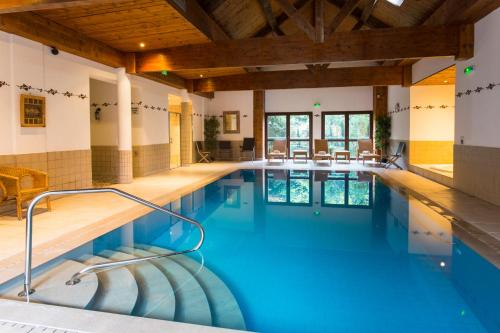
Hotel : Le Domaine de Rouffach
This 16th-century post office has been transformed into a charming hotel. Located along the Alsace wine-trail,Le Domaine de Rouffach (ex Ville de Lyon) features a heated indoor ...
Rate : from 42.52 €
to 156.45 €
Contact : 1 Rue Poincaré 68250 Rouffach
Distance Hotel - Oberhergheim : 7.34 km
|
|
Find another hotel near Oberhergheim : Oberhergheim hotels list
|
Map of Oberhergheim
|
|
Map of Oberhergheim :
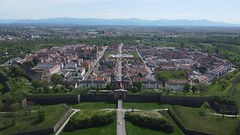
At right you can find the localization of Oberhergheim on the map of France. Below, this is the satellite map of Oberhergheim. A road map, and maps templates of Oberhergheim are available here : "road map of Oberhergheim". This map show Oberhergheim seen by the satellite of Google Map. To see the streets of Oberhergheim or move on another zone, use the buttons "zoom" and "map" on top of this dynamic map.
Search on the map of Oberhergheim :
To search hotels, housings, tourist information office, administrations or other services, use the Google search integrated to the map on the following page : "map Oberhergheim".
Hotels of Oberhergheim are listed on the map with the following icons: 
The map of Oberhergheim is centred in the following coordinates :
|

|
|
|
|
Print the map of Oberhergheim

Print the map of Oberhergheim : map of Oberhergheim
|
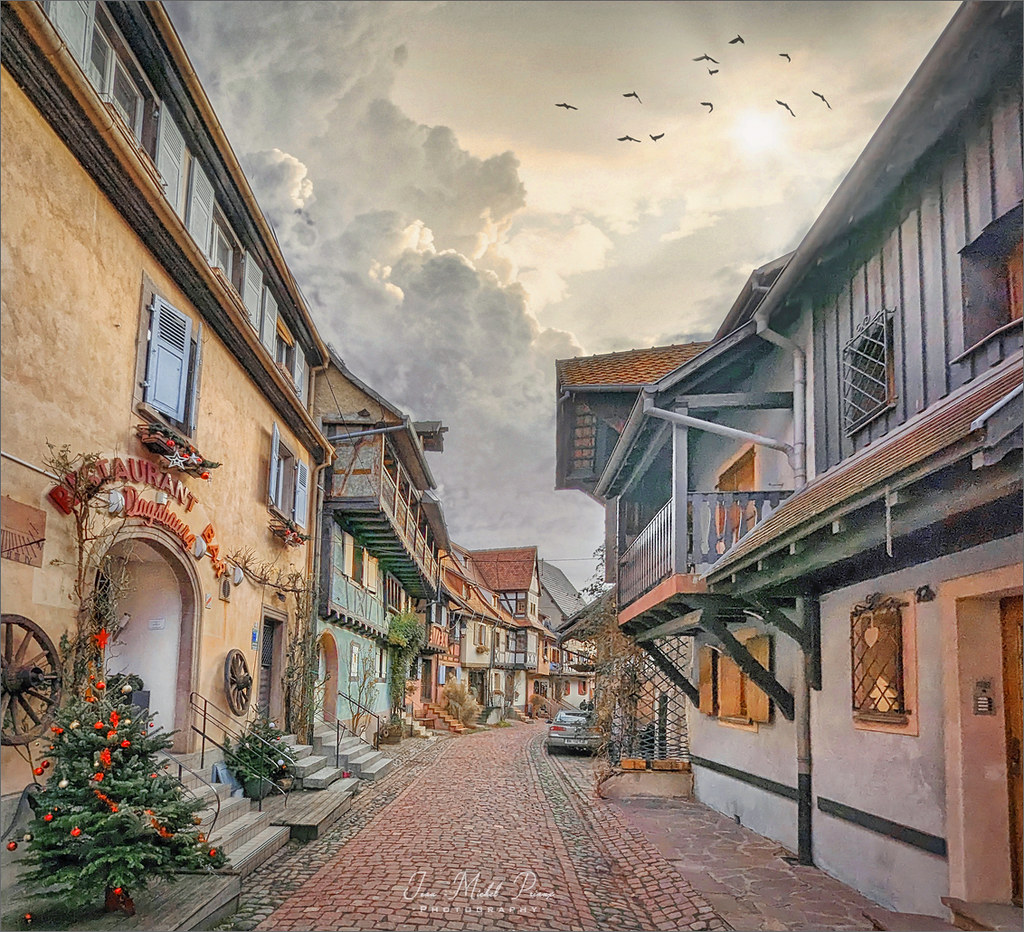
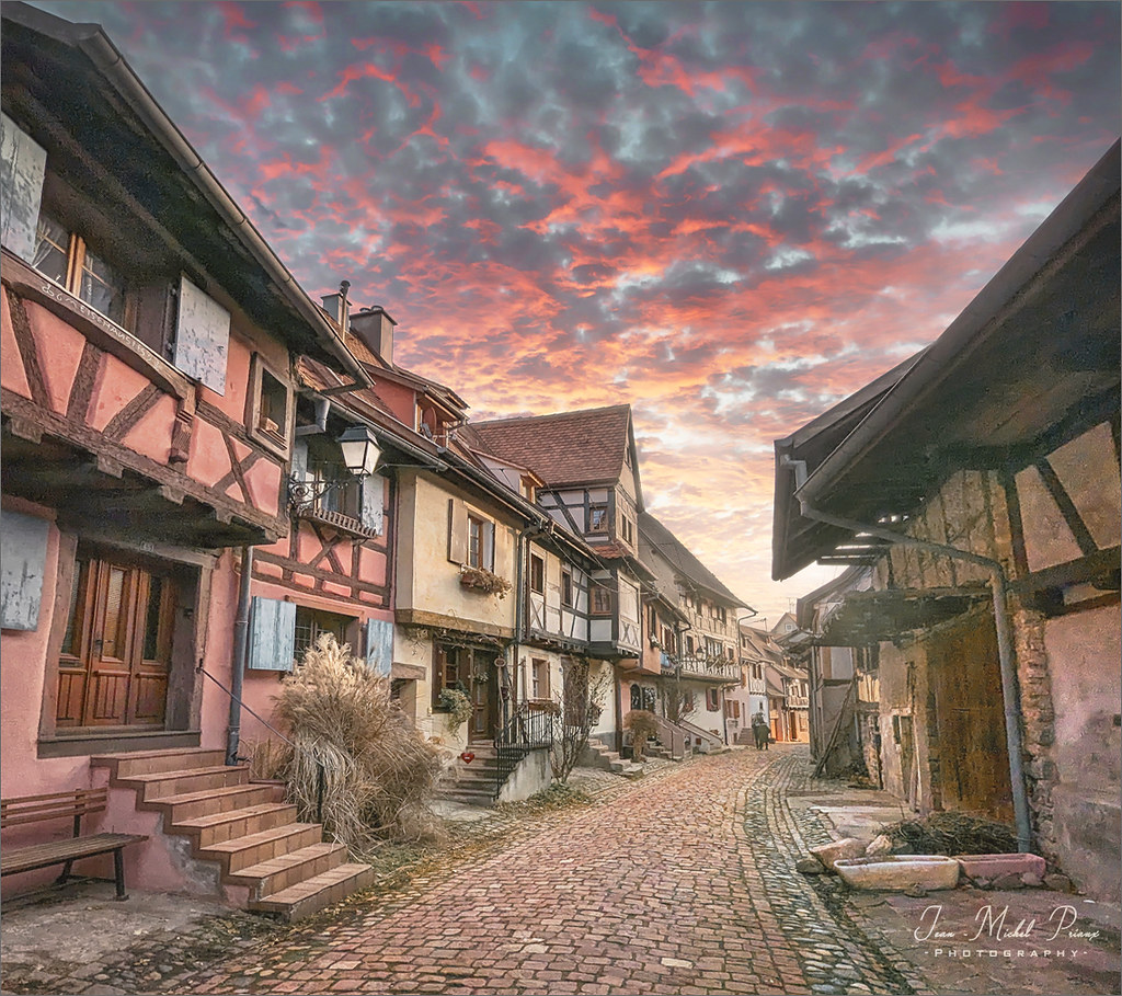
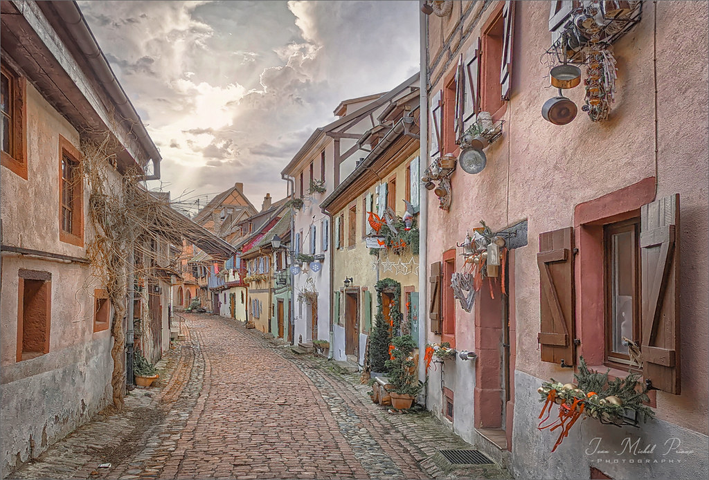
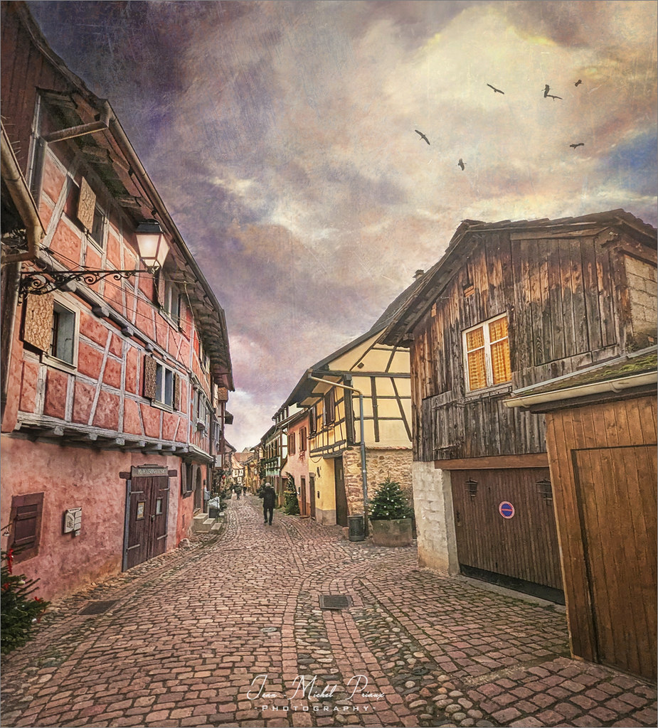
Photos Oberhergheim
|
See all photos of Oberhergheim :
Other photos of Oberhergheim and nearby towns can be found here: photos Oberhergheim
|
These photos taken near the town of Oberhergheim can be shown in full screen clicking on the thumbnails. Photos are copyrighted by their owners.
| | |

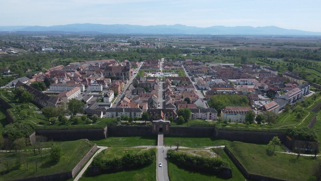
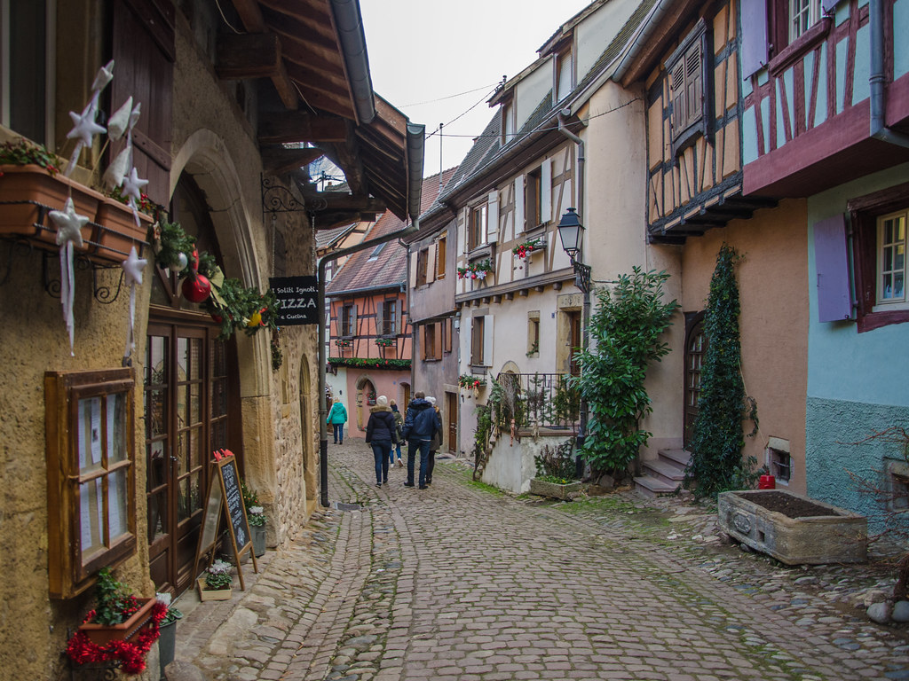
🇫🇷 🇪🇺 Eguisheim (Alsacia, Francia, 28-7-2011)
|

Bicolore
|
| |

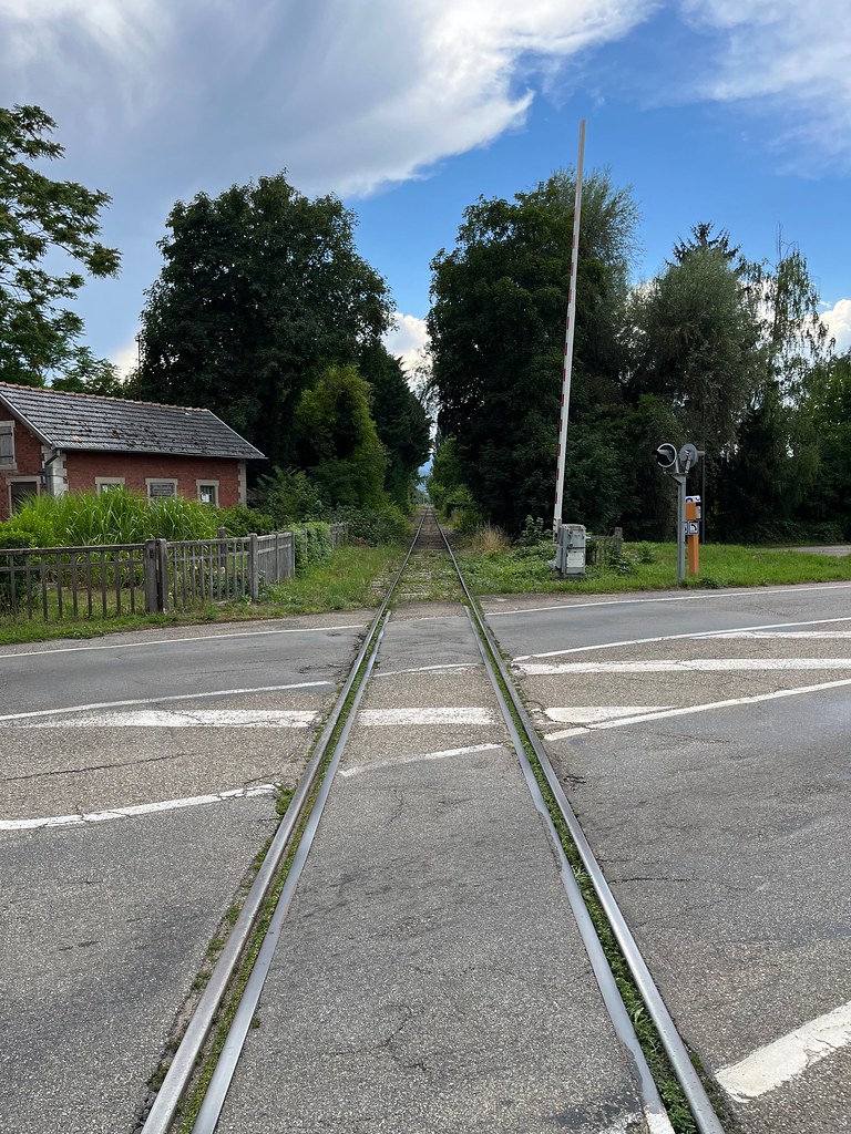
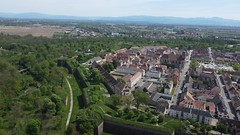
Volgelsheim - Colmar line, edge of Colmar
|

Volgelsheim - Colmar line, edge of Colmar
|
| |

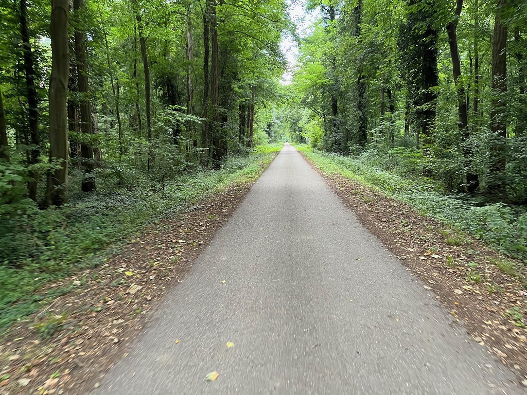
Cycle paths through the woods - approaching Colmar
|
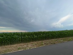
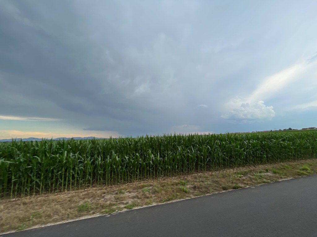
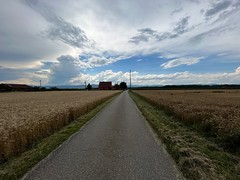
Maize fields
|
| |
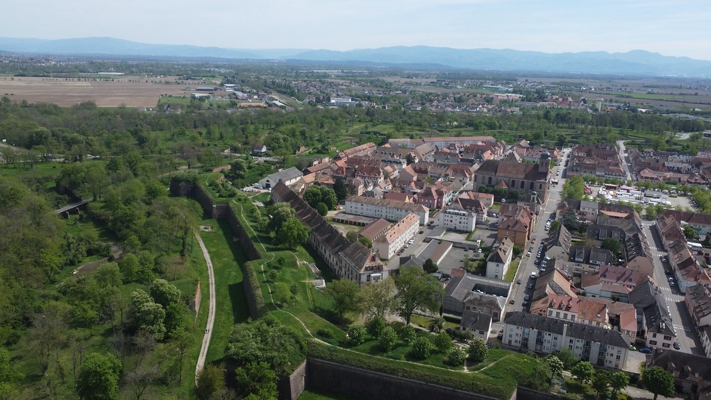
Trans Rhin Rail Breisach - drone pic, Neuf Brisach
|
Trans Rhin Rail Breisach - drone pic, Neuf Brisach
|
| |

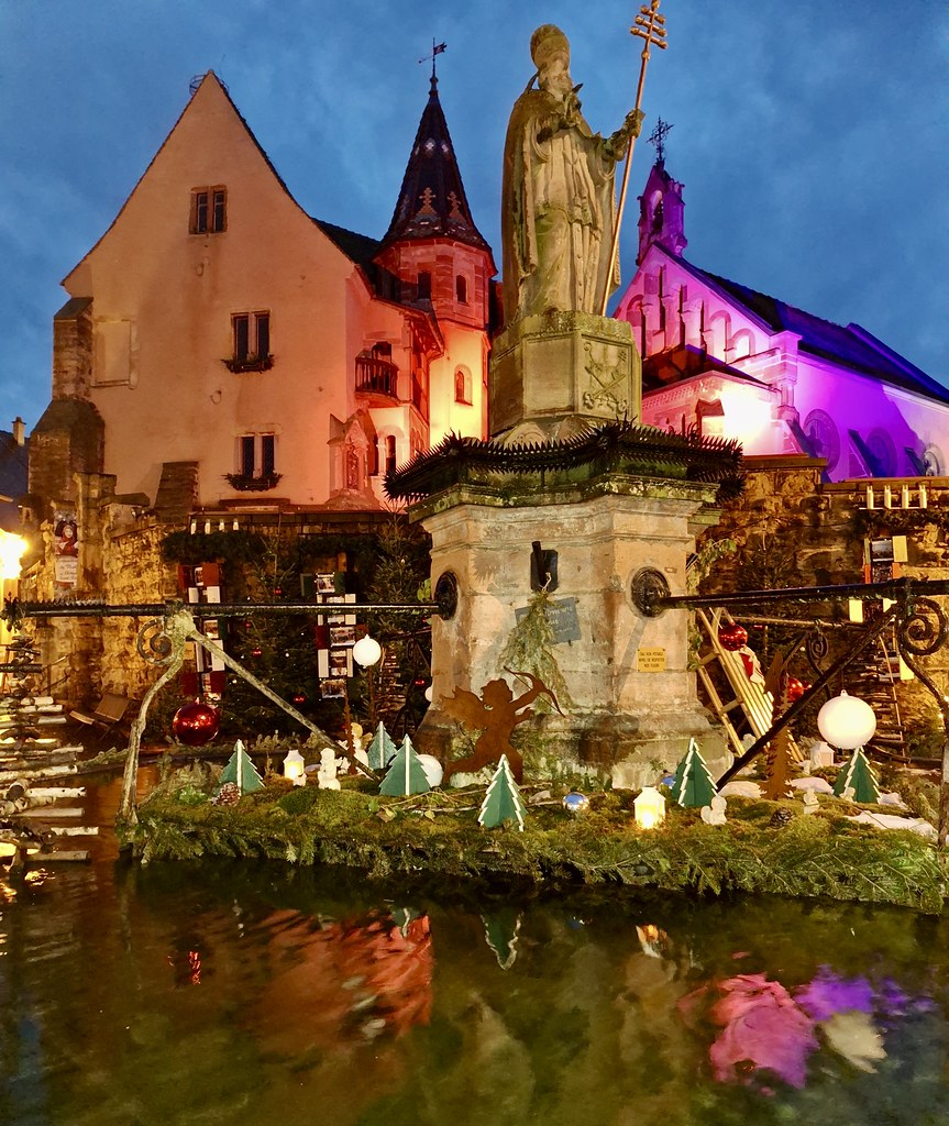
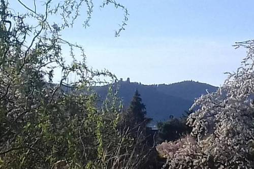
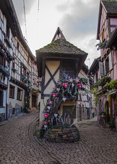
Just a wee bit tacky, St Leon Fountain with St Leon Castle and St Leon Chapel, Eguisheim Christmas lighting, Alsace, France
|
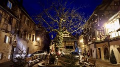
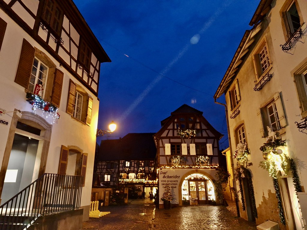
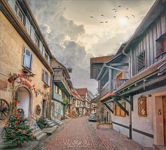
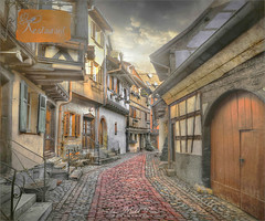
Eguisheim, Alsace, France
|
| |
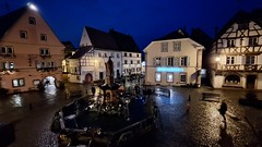
Eguisheim, St Leon Fountain and Square, Alsace, France
|
Eguisheim, St Leon Chapel 1894, Alsace, France
|
| |

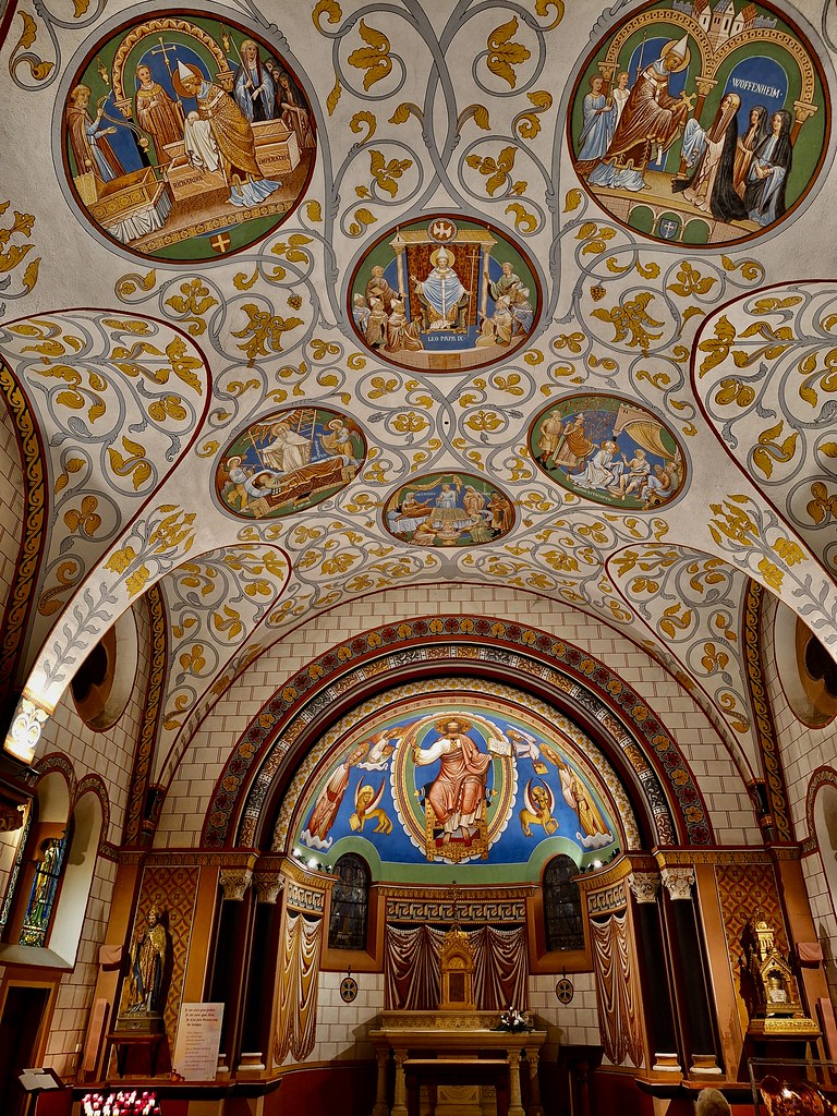
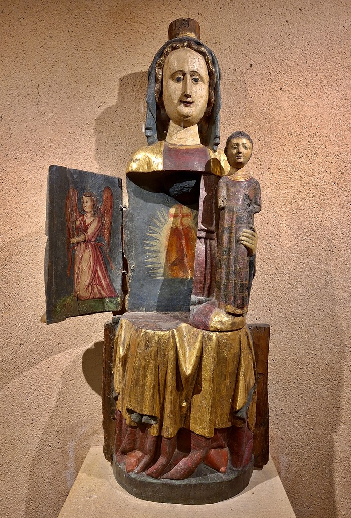
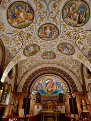
Eguisheim, Schreinmadonna 14C in St Peter and Paul Church, Alsace, France
|
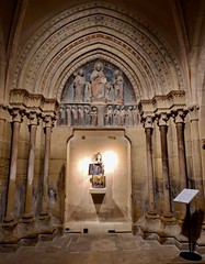
Eguisheim, old 12C portal with Schreinmadonna 14C in St Peter and Paul Church, Alsace, France
|
| |

Eguisheim, Alsace, France
|
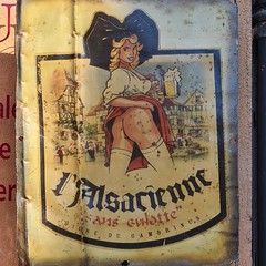
l-Alsacienne
|
| |
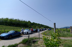
CabriOoh
|
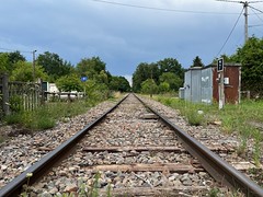
Volgelsheim - Colmar line, edge of Colmar
|
| |

Cycle paths through the woods - approaching Colmar
|
Big threatening skies, Sundhoffen
|
| |
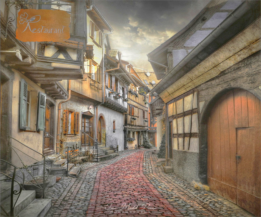
Restaurant
|

Pink
|
| |

The casseroles
|

The window
|
| |
Restaurant
|

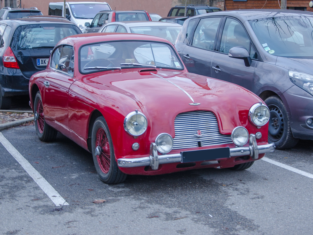
La rouge Aston Martin DB2/4
|
| |
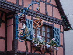
Bretzel royal(e) en vue
|
Une bifurcation des plus connues
|
| |
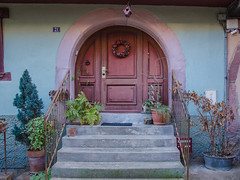
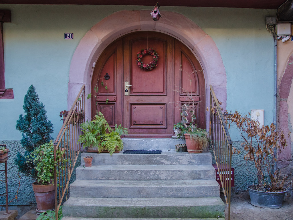
Une entrée soignée
|

Conservation est le maitre-mot
|
|
Oberhergheim weather forecast
Find next hours and 7 days weather forecast for Oberhergheim here : weather Oberhergheim (with english metrics)
This is the last weather forecast for Oberhergheim collected by the nearest observation station of Ensisheim.
Week Forecast:
The latest weather data for Oberhergheim were collected Monday, 30 June 2025 at 19:05 from the nearest observation station of Ensisheim.
| Monday, June 30th |
34°C 21°C
45%
13%
|
Mostly clear
Temperature Max: 34°C Temperature Min: 21°C
Precipitation Probability: 45% (Rain)
Percentage of sky occluded by clouds: 13%
Wind speed: 9 km/h Sout-East
Humidity: 49%° UV Index: 9
Sunrise: 05:35 Sunset: 21:33 |
|
| | Tuesday, July 1st |
34°C 21°C
52%
25%
|
Mostly clear
Temperature Max: 34°C Temperature Min: 21°C
Precipitation Probability: 52% (Rain)
Percentage of sky occluded by clouds: 25%
Wind speed: 5 km/h North-West
Humidity: 50%° UV Index: 9
Sunrise: 05:36 Sunset: 21:33 |
|
| | Wednesday, July 2nd |
34°C 21°C
45%
15%
|
Mostly clear
Temperature Max: 34°C Temperature Min: 21°C
Precipitation Probability: 45% (Rain)
Percentage of sky occluded by clouds: 15%
Wind speed: 5 km/h West
Humidity: 48%° UV Index: 9
Sunrise: 05:36 Sunset: 21:32 |
|
| | Thursday, July 3rd |
32°C 20°C
41%
28%
|
Mostly clear
Temperature Max: 32°C Temperature Min: 20°C
Precipitation Probability: 41% (Rain)
Percentage of sky occluded by clouds: 28%
Wind speed: 8 km/h Sout-East
Humidity: 55%° UV Index: 8
Sunrise: 05:37 Sunset: 21:32 |
|
|
Attribution: 
|
|
Other maps, hotels and towns in france
Find another town, zip code, department, region, ...
Quick links Oberhergheim :
Make a link to this page of Oberhergheim with the following code :
|
|
|
 French Version : http://www.cartesfrance.fr/carte-france-ville/68242_Oberhergheim.html