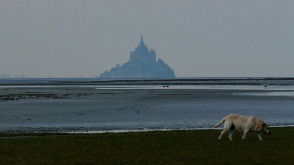
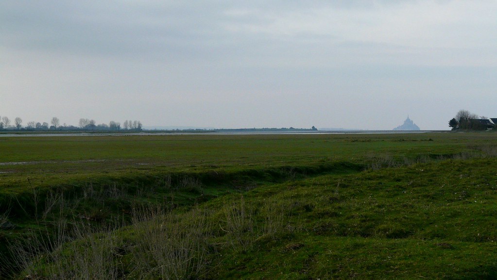
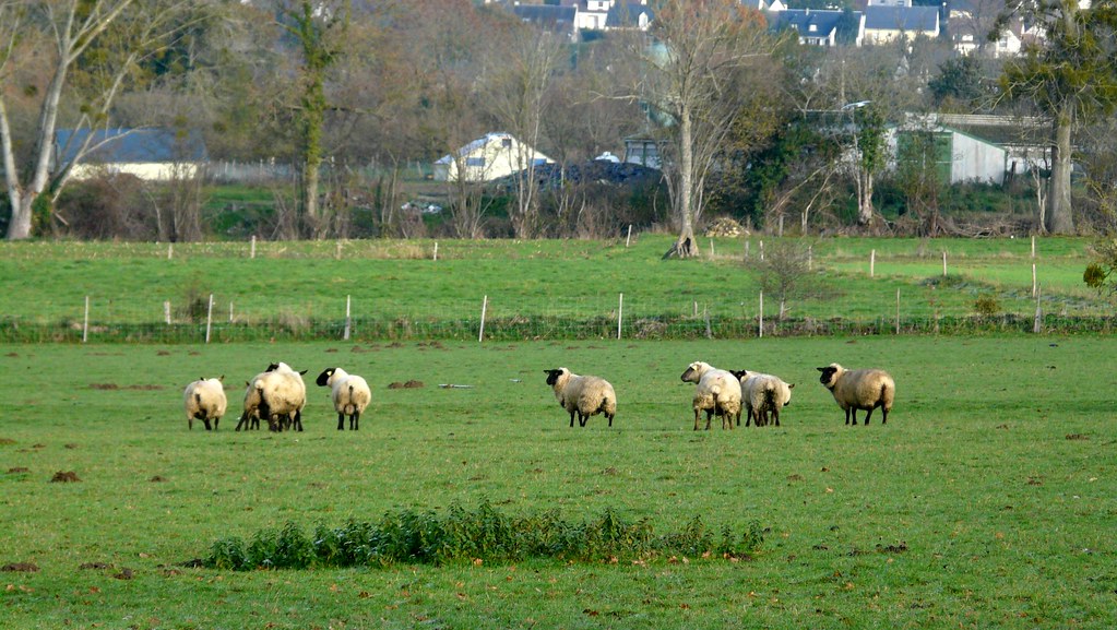
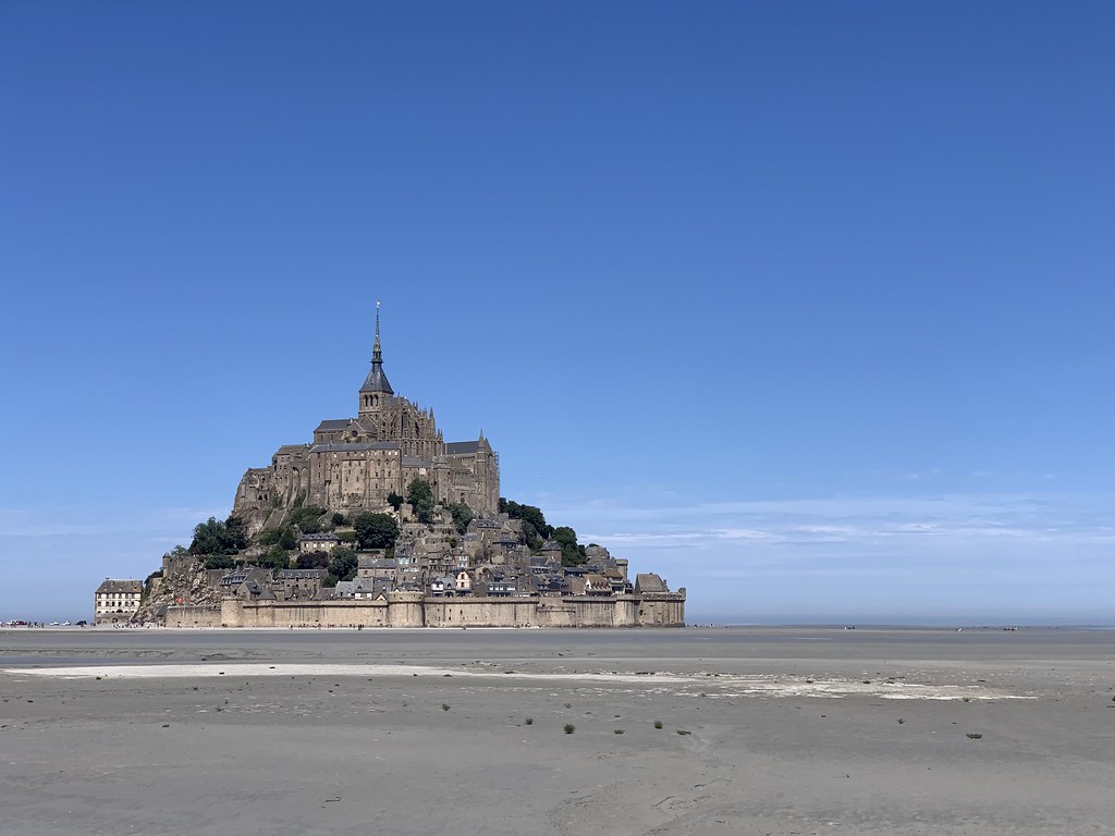
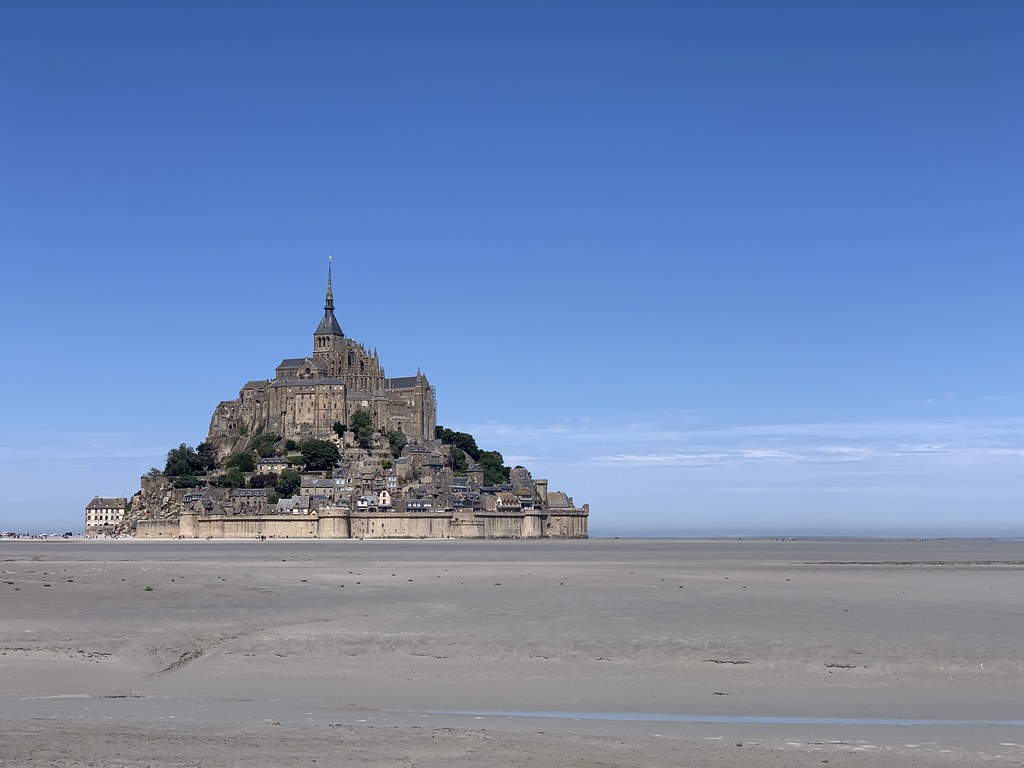
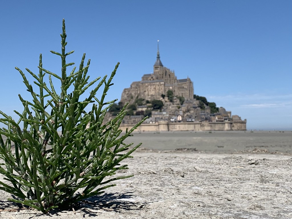
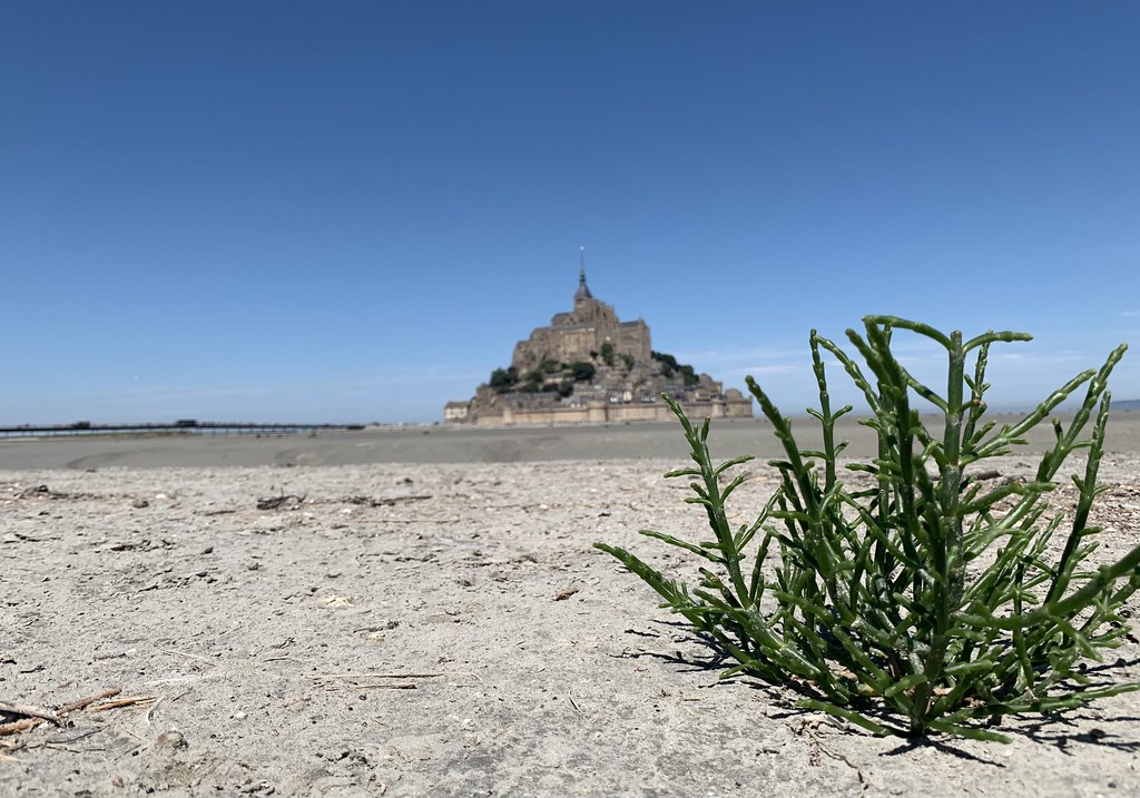
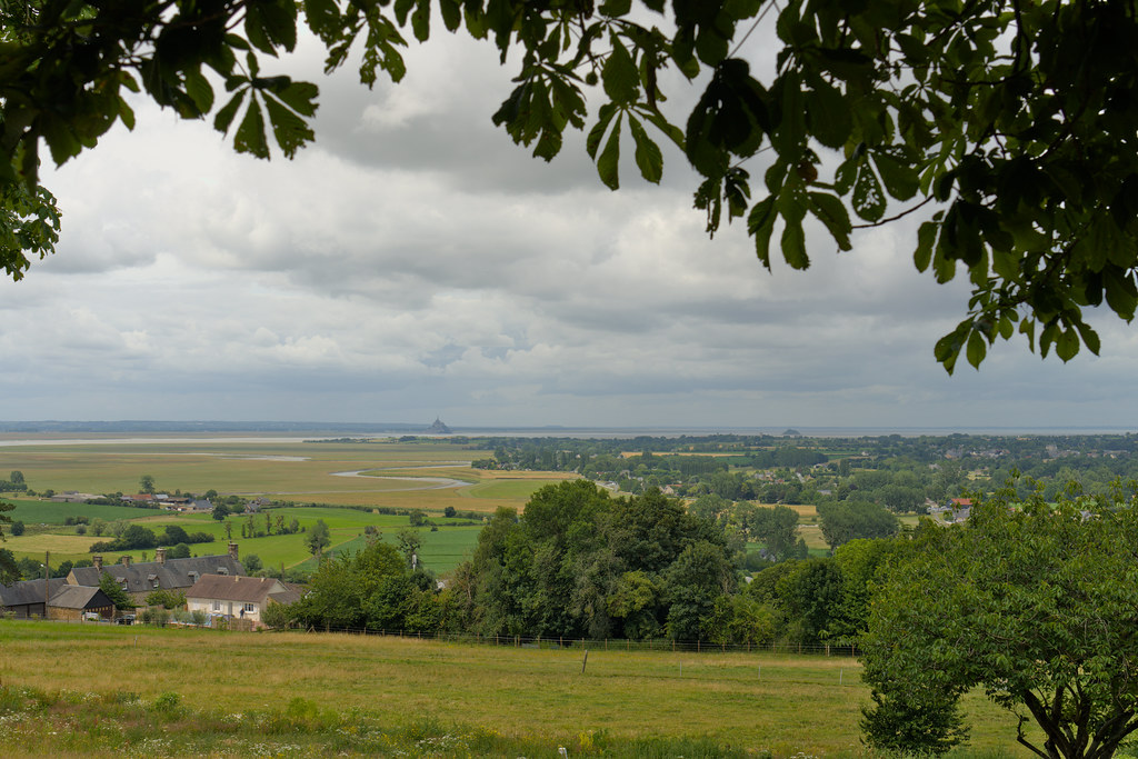
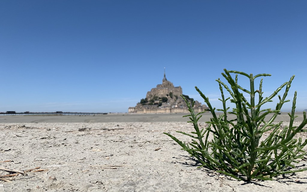
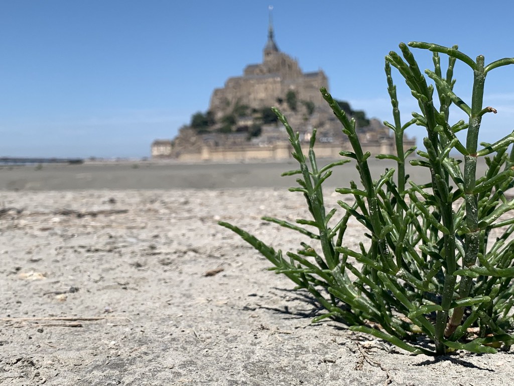
Map of France

Pontaubault photos


Find a town, a zip code,
a department, a region... in France
I like Map-France.com !


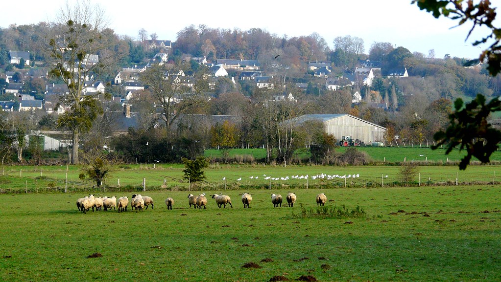
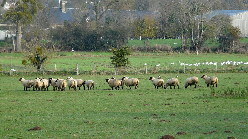
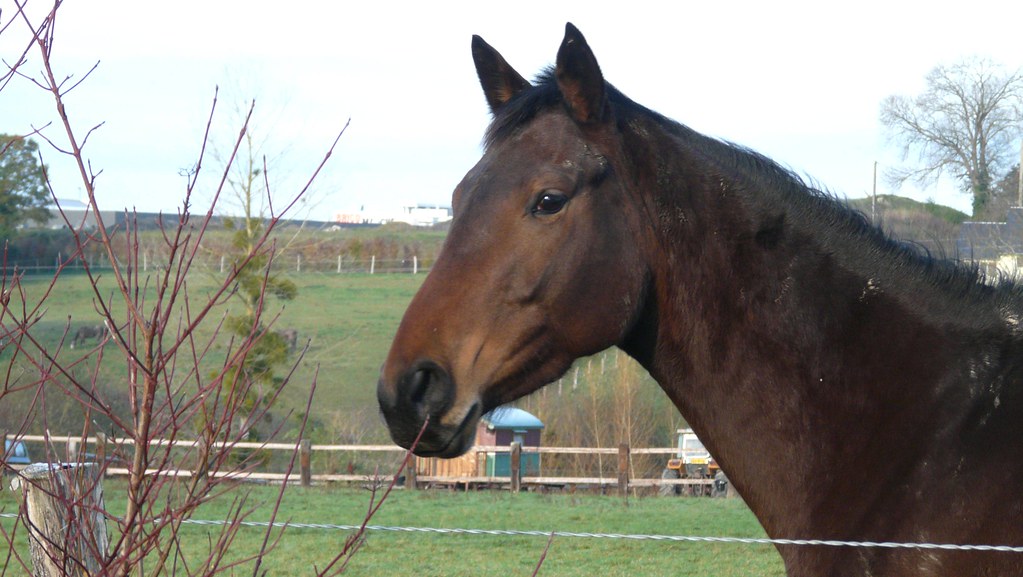
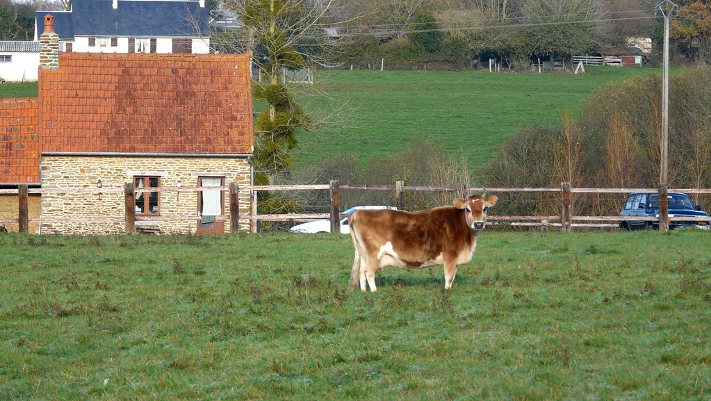
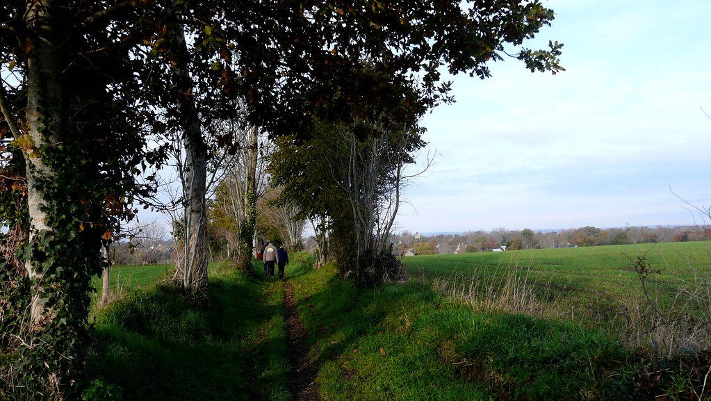
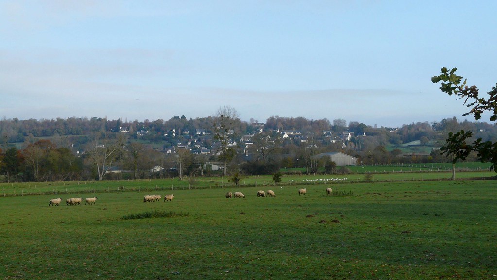
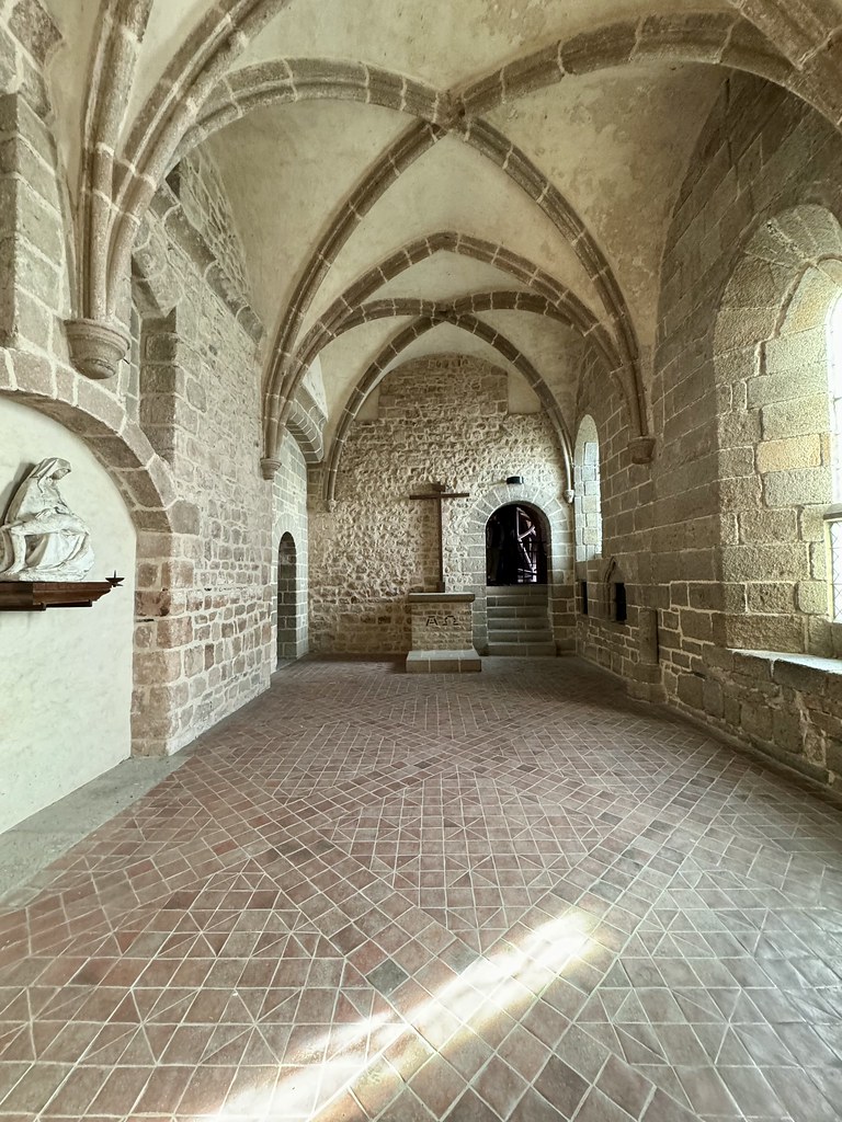
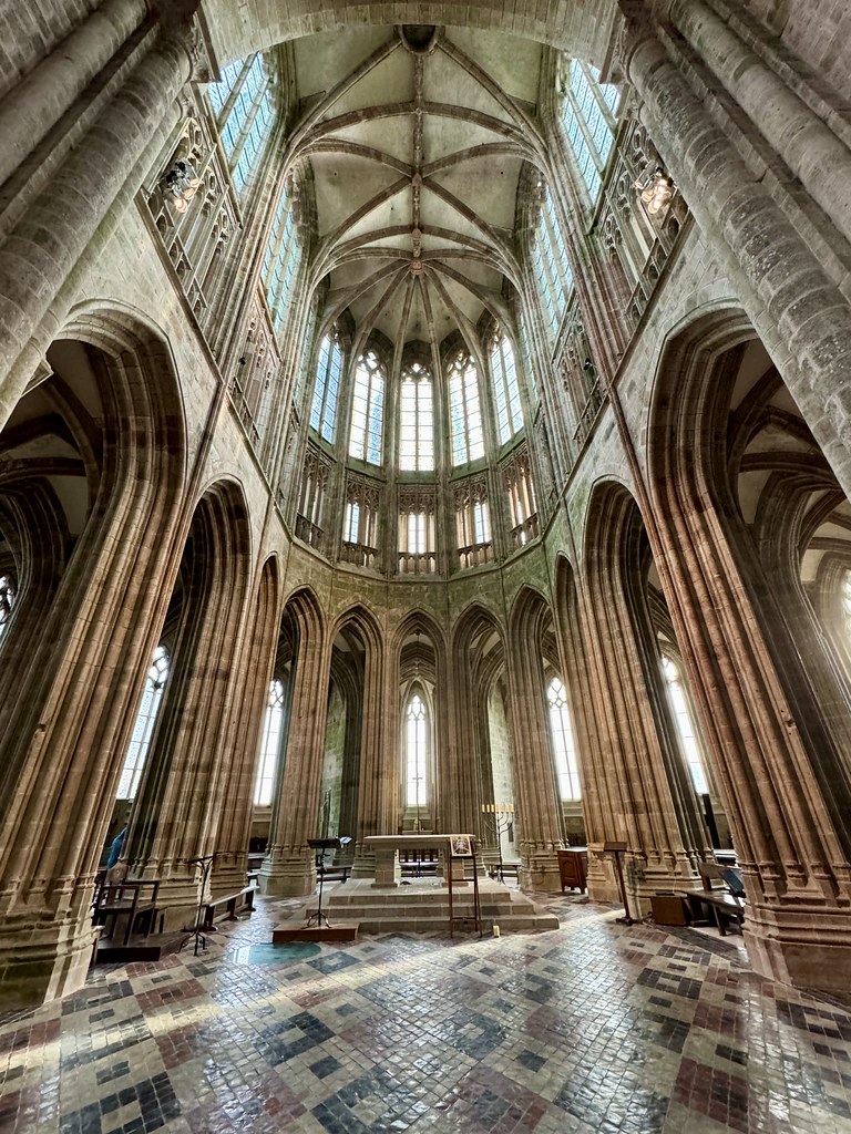
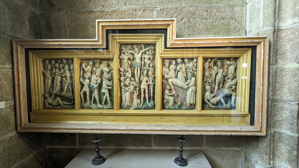
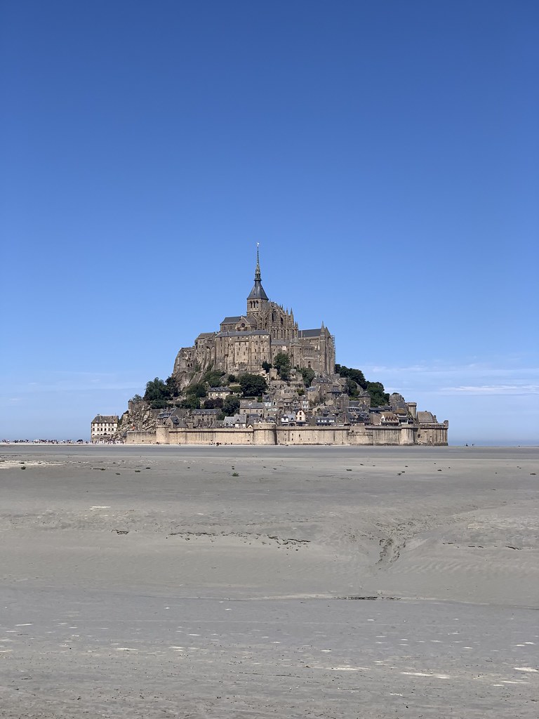
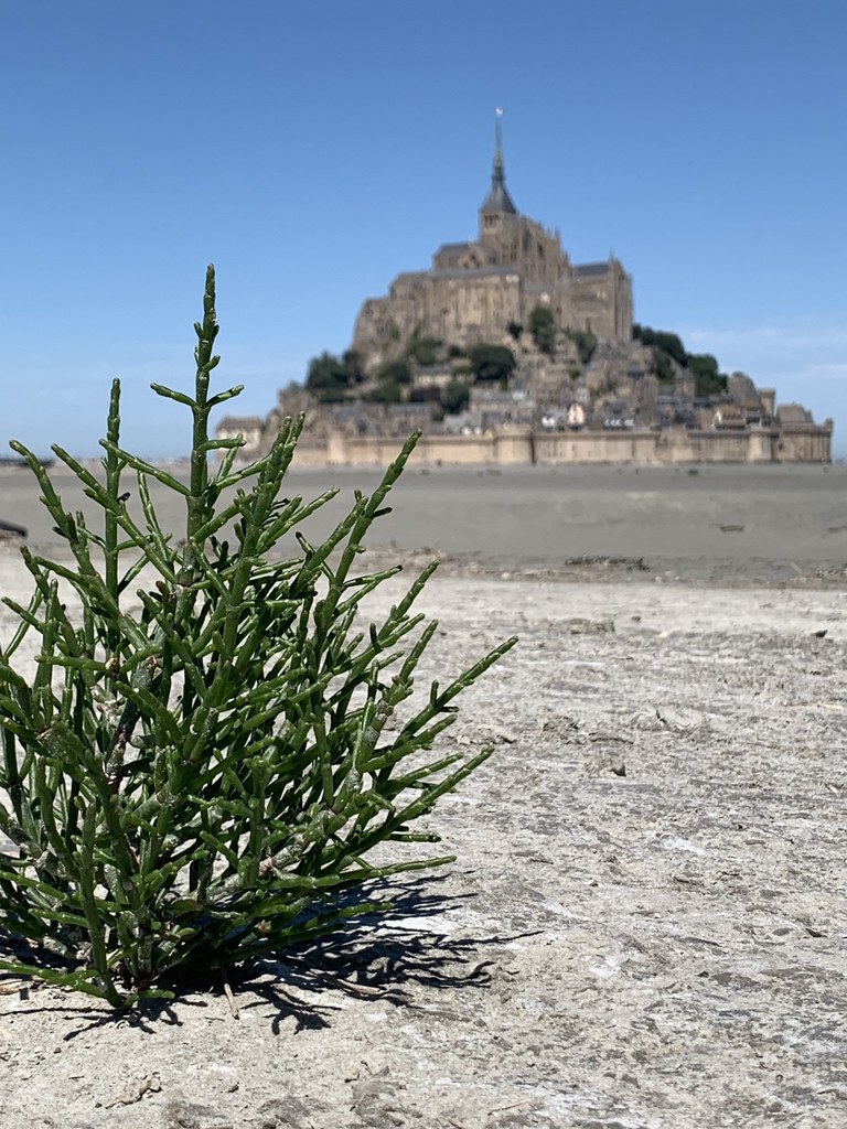
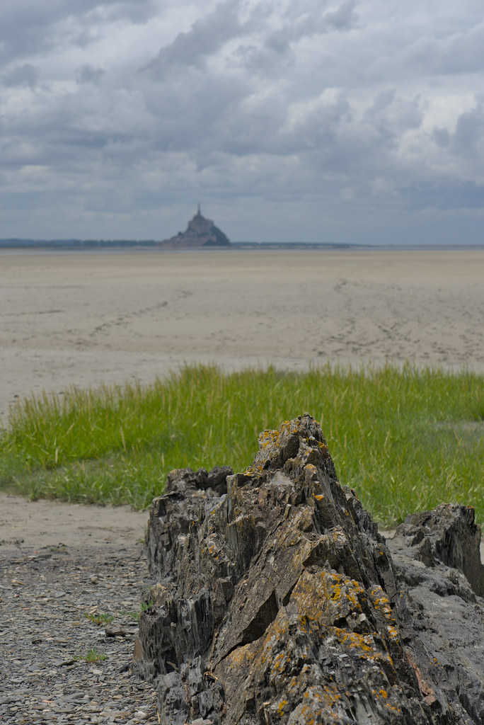
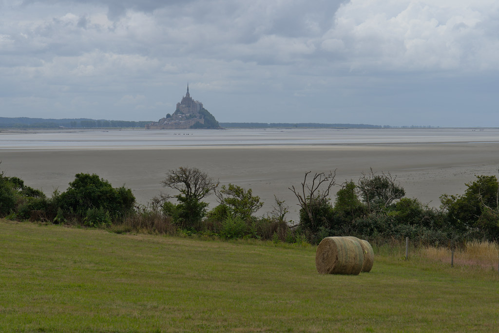
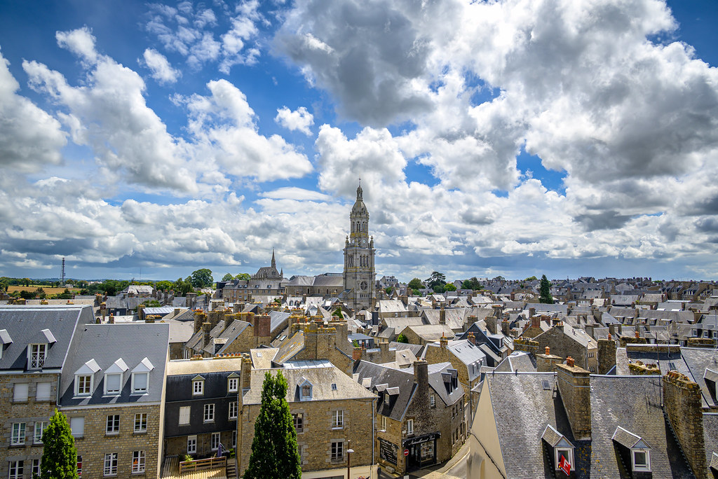
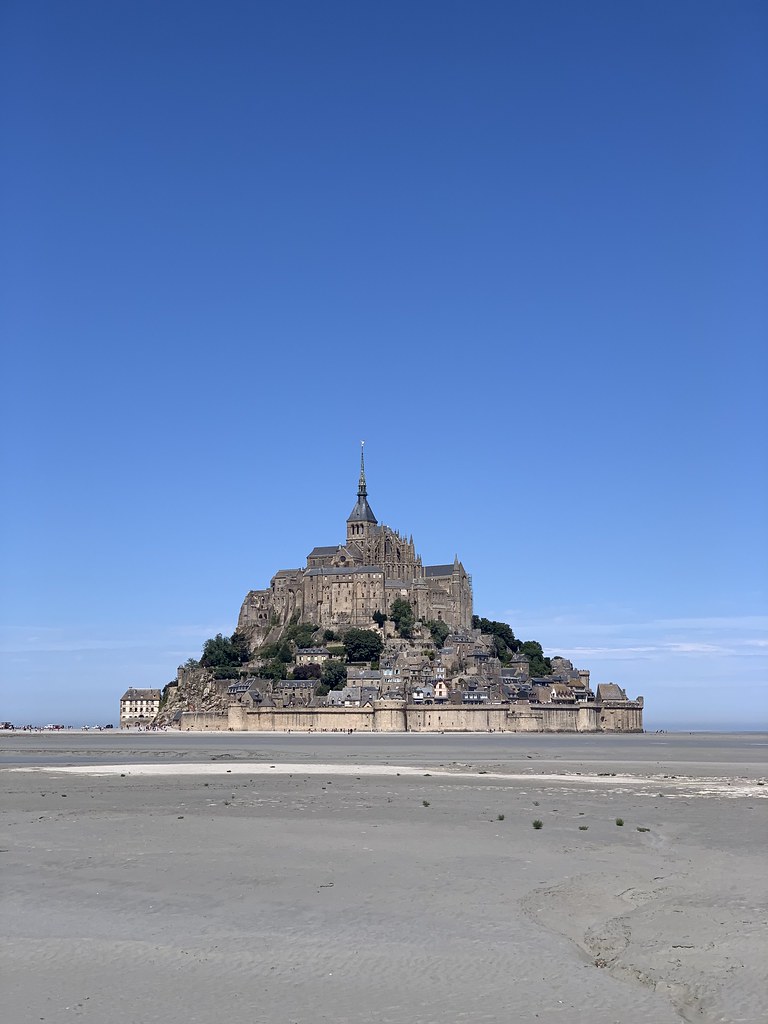
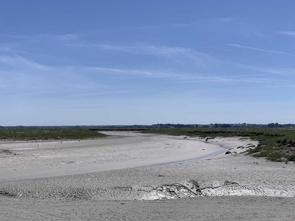
Pontaubault pictures


Here are the photos of the town of Pontaubault and nearby towns. Pontaubault is located in the department of Manche in the region of Basse-Normandie. You will find the satellite map of Pontaubault under these photos.

To see photos of nearby towns of Pontaubault, you can try the following links :
   - Céaux pictures : town located at 2.76 km
   - Précey pictures : town located at 2.95 km
   - Poilley pictures : town located at 3.18 km
   - Saint-Quentin-sur-le-Homme pictures : town located at 3.19 km
   - Juilley pictures : town located at 3.35 km
   - Courtils pictures : town located at 4.30 km
   - Le Val-Saint-Père pictures : town located at 4.32 km
   - Ducey pictures : town located at 4.52 km
   - Saint-Martin-des-Champs pictures : town located at 4.83 km
   - Crollon pictures : town located at 5.38 km
   - Servon pictures : town located at 5.79 km
   - Saint-Loup pictures : town located at 6.12 km

 - photos of the department prefecture of Manche : photos of Saint-Lô
 - pictures of others cities of Manche : Manche


To see Pontaubault from the sky, here is the satellite map of the town of Pontaubault : Pontaubault map.

I like Pontaubault !


Photos of the town of Pontaubault

These photos taken near the town of Pontaubault can be shown in full screen clicking on the thumbnails. Photos are copyrighted by their owners.

20101128-12h1682_Ballade dans la baie - Photo of Pontaubault
20101128-12h1682_Ballade dans la baie

20101128-12h1079_Ballade dans la baie - Photo of Pontaubault
20101128-12h1079_Ballade dans la baie

20101128-11h1975_Ballade dans la baie - Photo of Pontaubault
20101128-11h1975_Ballade dans la baie

20101128-11h1976_Ballade dans la baie - Photo of Pontaubault
20101128-11h1976_Ballade dans la baie

20101128-10h3961_La ferme à Gégé - Photo of Pontaubault
20101128-10h3961_La ferme à Gégé

20101128-10h4062_La ferme à Gégé - Photo of Pontaubault
20101128-10h4062_La ferme à Gégé

20101128-11h1571_Ballade dans la baie - Photo of Pontaubault
20101128-11h1571_Ballade dans la baie

20101128-11h1872_Ballade dans la baie - Photo of Pontaubault
20101128-11h1872_Ballade dans la baie

20101128-11h1973_Ballade dans la baie - Photo of Pontaubault
20101128-11h1973_Ballade dans la baie

Chapelle Saint Étienne - Photo of Pontaubault
Chapelle Saint Étienne

Sanctuary - Photo of Pontaubault
Sanctuary

PXL_20230715_142426808 - Photo of Pontaubault
PXL_20230715_142426808

Avranches - Photo of Pontaubault
Avranches

Avranches - Photo of Pontaubault
Avranches

Avranches - Photo of Pontaubault
Avranches

Avranches - Photo of Pontaubault
Avranches

Avranches - Photo of Pontaubault
Avranches

Avranches - Photo of Pontaubault
Avranches

Baie du Mont-Saint-Michel - Photo of Pontaubault
Baie du Mont-Saint-Michel

View to Mont-Saint-Michel - Photo of Pontaubault
View to Mont-Saint-Michel

Baie du Mont-Saint-Michel - Photo of Pontaubault
Baie du Mont-Saint-Michel

2022 Normandie 18056 - Photo of Pontaubault
2022 Normandie 18056

Avranches - Photo of Pontaubault
Avranches

Avranches - Photo of Pontaubault
Avranches

Avranches - Photo of Pontaubault
Avranches

Avranches - Photo of Pontaubault
Avranches

Avranches - Photo of Pontaubault
Avranches

Avranches - Photo of Pontaubault
Avranches

Avranches - Photo of Pontaubault
Avranches

Avranches - Photo of Pontaubault
Avranches


Pontaubault from the sky


Old photos of the town of Pontaubault

These photos taken near the town of Pontaubault can be shown in full screen clicking on the thumbnails. Photos are copyrighted by their owners.


Other maps, hotels and towns in france


Find another town, zip code, department, region, ...


Quick links Pontaubault :


Back to the menus Map of France :


Make a link to this page of Pontaubault with the following code :


Map of France | Regions | Departments | Cities | Partners | Terms | Contact