|
The village of Randonnai is a small village located north west of France. The town of Randonnai is located in the department of Orne of the french region Basse-Normandie. The town of Randonnai is located in the township of Tourouvre part of the district of Mortagne-au-Perche. The area code for Randonnai is 61343 (also known as code INSEE), and the Randonnai zip code is 61190.
Geography and map of Randonnai :
The altitude of the city hall of Randonnai is approximately 240 meters. The Randonnai surface is 11.22 km ². The latitude and longitude of Randonnai are 48.649 degrees North and 0.676 degrees East.
Nearby cities and towns of Randonnai are :
Normandel (61190) at 2.86 km, Irai (61190) at 2.87 km, Bresolettes (61190) at 4.09 km, La Poterie-au-Perche (61190) at 4.14 km, La Ventrouze (61190) at 4.49 km, Saint-Maurice-lès-Charencey (61190) at 5.87 km, Beaulieu (61190) at 6.19 km, Crulai (61300) at 6.25 km.
(The distances to these nearby towns of Randonnai are calculated as the crow flies)
Population and housing of Randonnai :
The population of Randonnai was 815 in 1999, 791 in 2006 and 799 in 2007. The population density of Randonnai is 71.21 inhabitants per km². The number of housing of Randonnai was 388 in 2007. These homes of Randonnai consist of 314 main residences, 42 second or occasional homes and 32 vacant homes. |
|
|
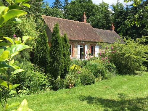
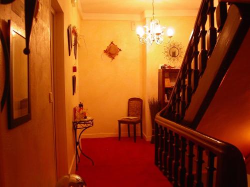
Hotel Randonnai
|
|
|
Book now ! Best Price Guaranteed, no booking fees, pay at the hotel with our partner Booking.com, leader in online hotel reservation.
Find all hotels of Randonnai : Hotel Randonnai
| |
|
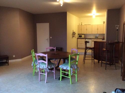
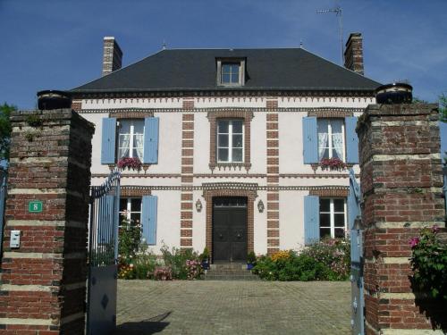
Guest accommodation : Gite du Bois Foucher

Featuring barbecue facilities and a garden, Gite du Bois Foucher offers accommodation in Saint-Maurice-lès-Charencey with free WiFi and garden views. This holiday home features ...
Rate : from 149.00 €
Address : Le Bois Foucher 61190 Saint-Maurice-lès-Charencey
Distance Guest accommodation - Randonnai : 6.30 km
|
|
|
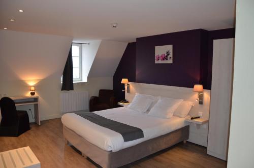
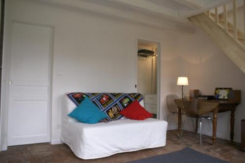
Bed and Breakfast : Moulin de Sévoux
Situated in Malétable, Moulin de Sévoux features accommodation with access to a garden. Free WiFi is offered. All units come with a seating area, a flat-screen TV with satellit...
Price : from 75.00 €
to 87.00 €
Contact : Moulin de Sévoux, 2 61290 Malétable
Distance Bed and Breakfast - Randonnai : 9.56 km
|
|
|
Guest accommodation : Gite, vakantiehuis
Situated in Malétable in the Lower Normandy region, Gite, vakantiehuis features a terrace and lake views. Guests may enjoy free WiFi. The holiday home is equipped with a satell...
Contact : Moulin des sablons 61290 Malétable
Distance Guest accommodation - Randonnai : 10.61 km
|
|
|
Guest accommodation : Une Maison au Breuil
Offering free WiFi and garden views, Une Maison au Breuil is an accommodation located in Moulins-la-Marche. The accommodation is 39 km from Verneuil d’Avre et d’Iton. Deauville...
Contact : Le Breuil Route de Bonsmoulins 61380 Moulins-la-Marche
Distance Guest accommodation - Randonnai : 11.06 km
|
|
|
Apartment : Le Collas
Le Collas offers accommodation in the city centre of L’Aigle, 2.8 km from Manufacture Bohin. Guests benefit from balcony. There is a seating area and a kitchen as well as a sha...
Address : 8 rue du 1 er But 61300 LʼAigle
Distance Apartment - Randonnai : 13.06 km
|
|
|
Hotel Du Dauphin is in Normandy's Orne department, on the road to Mont-Saint-Michel and the Basilica of Lisieux. Its en suite rooms are serviced by a lift and have satellite and...
Prices : from 64.00 €
to 135.00 €
Contact : Place De La Halle 61300 LʼAigle
Distance Hotel - Randonnai : 13.22 km
|
|
|
Hotel : Hôtel du Cygne

This hotel is 850 metres from L’Aigle Train Station and a 12-minute drive from the Museum of the Countess of Ségur. This hotel offers a terrace, free Wi-Fi access and a restaur...
Rate : from 49.00 €
to 65.00 €
Contact : 31 Rue Saint-Barthélemy 61300 LʼAigle
Distance Hotel - Randonnai : 13.55 km
|
|
|
Hotel : Hôtel le Dauphin
Set in the village of Moulins-la-Marche, the Hôtel le Dauphin is only a 5-minute drive from Moulins-Bonsmoulins Forest. Regional specialities are served in the restaurant and yo...
Price : from 62.00 €
to 130.00 €
Contact : 66 Grande Rue 61380 Moulins-la-Marche
Distance Hotel - Randonnai : 14.64 km
|
|
|
Bed and Breakfast : Le Presbytère
Le Presbytère is a B&B located in Chaise-Dieu-du-Theil. At Le Presbytère you will find a garden, free bikes and a terrace. An array of activities can be enjoyed on site or in th...
Address : 8 Rue des Tilleuls 27580 Chaise-Dieu-du-Theil
Distance Bed and Breakfast - Randonnai : 14.78 km
|
|
|
Bed and Breakfast : La Chambre De Maud
Offering free WiFi and garden views, La Chambre De Maud is an accommodation set in Chaise-Dieu-du-Theil. The accommodation is 48 km from Évreux. A continental breakfast can be ...
Contact : 6 rue des tilleuls 27580 Chaise-Dieu-du-Theil
Distance Bed and Breakfast - Randonnai : 14.79 km
|
|
Find another hotel near Randonnai : Randonnai hotels list
|
Map of Randonnai
|
|
Map of Randonnai :
At right you can find the localization of Randonnai on the map of France. Below, this is the satellite map of Randonnai. A road map, and maps templates of Randonnai are available here : "road map of Randonnai". This map show Randonnai seen by the satellite of Google Map. To see the streets of Randonnai or move on another zone, use the buttons "zoom" and "map" on top of this dynamic map.
Search on the map of Randonnai :
To search hotels, housings, tourist information office, administrations or other services, use the Google search integrated to the map on the following page : "map Randonnai".
Hotels of Randonnai are listed on the map with the following icons: 
The map of Randonnai is centred in the following coordinates :
|

|
|
|
|
Print the map of Randonnai

Print the map of Randonnai : map of Randonnai
|
Photos Randonnai
|
See all photos of Randonnai :
Other photos of Randonnai and nearby towns can be found here: photos Randonnai
|
|
Randonnai weather forecast
Find next hours and 7 days weather forecast for Randonnai here : weather Randonnai (with english metrics)
This is the last weather forecast for Randonnai collected by the nearest observation station of Tourouvre.
Week Forecast:
The latest weather data for Randonnai were collected Friday, 26 April 2024 at 17:00 from the nearest observation station of Tourouvre.
| Friday, April 26th |
13°C 4°C
62%
93%
|
Drizzle
Temperature Max: 13°C Temperature Min: 4°C
Precipitation Probability: 62% (Rain)
Percentage of sky occluded by clouds: 93%
Wind speed: 13 km/h North
Humidity: 78%° UV Index: 3
Sunrise: 06:45 Sunset: 21:05 |
|
| | Saturday, April 27th |
12°C 6°C
82%
96%
|
Rain
Temperature Max: 12°C Temperature Min: 6°C
Precipitation Probability: 82% (Rain)
Percentage of sky occluded by clouds: 96%
Wind speed: 14 km/h North-West
Humidity: 89%° UV Index: 3
Sunrise: 06:44 Sunset: 21:07 |
|
| | Sunday, April 28th |
14°C 6°C
54%
67%
|
Drizzle
Temperature Max: 14°C Temperature Min: 6°C
Precipitation Probability: 54% (Rain)
Percentage of sky occluded by clouds: 67%
Wind speed: 24 km/h North-East
Humidity: 75%° UV Index: 4
Sunrise: 06:42 Sunset: 21:08 |
|
| | Monday, April 29th |
16°C 5°C
0%
60%
|
Partly cloudy
Temperature Max: 16°C Temperature Min: 5°C
Precipitation Probability: 0%
Percentage of sky occluded by clouds: 60%
Wind speed: 10 km/h North
Humidity: 68%° UV Index: 4
Sunrise: 06:40 Sunset: 21:09 |
|
|
Attribution: 
|
|
Other maps, hotels and towns in france
Find another town, zip code, department, region, ...
Quick links Randonnai :
Make a link to this page of Randonnai with the following code :
|
|
|
 French Version : http://www.cartesfrance.fr/carte-france-ville/61343_Randonnai.html