|
The village of Réal is a small village located south of France. The town of Réal is located in the department of Pyrénées-Orientales of the french region Languedoc-Roussillon. The town of Réal is located in the township of Mont-Louis part of the district of Prades. The area code for Réal is 66159 (also known as code INSEE), and the Réal zip code is 66210.
Geography and map of Réal :
The altitude of the city hall of Réal is approximately 1 439 meters. The Réal surface is 10.45 km ². The latitude and longitude of Réal are 42.632 degrees North and 2.134 degrees East.
Nearby cities and towns of Réal are :
Puyvalador (66210) at 2.08 km, Fontrabiouse (66210) at 3.12 km, Formiguères (66210) at 3.26 km, Sansa (66360) at 4.41 km, Matemale (66210) at 4.95 km, Railleu (66360) at 6.26 km, Caudiès-de-Conflent (66360) at 7.43 km, Ayguatébia-Talau (66360) at 7.63 km.
(The distances to these nearby towns of Réal are calculated as the crow flies)
Population and housing of Réal :
The population of Réal was 31 in 1999, 41 in 2006 and 42 in 2007. The population density of Réal is 4.02 inhabitants per km². The number of housing of Réal was 144 in 2007. These homes of Réal consist of 21 main residences, 114 second or occasional homes and 9 vacant homes. |
|
|
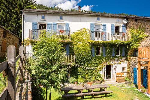
Hotel Réal
|
|
|
Book now ! Best Price Guaranteed, no booking fees, pay at the hotel with our partner Booking.com, leader in online hotel reservation.
Find all hotels of Réal : Hotel Réal
| |
|
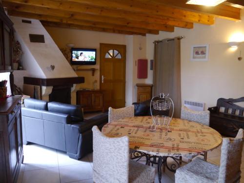
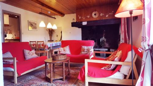
Apartment : Appartements Lassus - Puyvalador
Located just 1 km from Puyvalador Lake, Appartements Lassus – Puyvalador offers self-catering apartments with a terrace and mountain views. The property is a 15-minute drive fro...
Address : Place de l'Eglise 66210 Puyvalador
Distance Apartment - Réal : 2.11 km
|
|
|
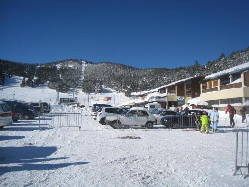
Apartment : Capcir Panoramic

Capcir Panoramic in Formiguères offers accommodation with free WiFi, 5 km from Perches Blanches 1 Ski Lift, 5 km from Perches Blanches 2 Ski Lift and 5 km from Calmazeille Ski L...
Contact : 6 Cami del Cargol 66210 Formiguères
Distance Apartment - Réal : 2.79 km
|
|
|
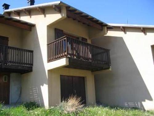
Bed and Breakfast : Maison Sarda
Featuring free WiFi throughout the property, Maison Sarda offers accommodation in Formiguères. Guests can enjoy the on-site restaurant. Free private parking is available on site...
Contact : 6 rue du Galbe Espousouille 66210 Formiguères
Distance Bed and Breakfast - Réal : 3.15 km
|
|
|
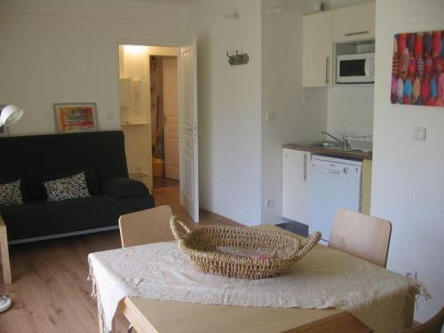
Apartment : Apartment Le Village - 3
Apartment Le Village - 3 offers accommodation in Fontrabiouse, 7 km from Puyvalador Rieutord and 10 km from Formiguères. Guests staying at this apartment have access to a fully ...
Rate : from 398.24 €
Contact : Le Village 2 Rue de la Serre 66210 Fontrabiouse
Distance Apartment - Réal : 3.19 km
|
|
|
Guest accommodation : Gite Ardoise Formiguères
Set 5 km from Perches Blanches 1 Ski Lift, Gite Ardoise Formiguères provides accommodation in Formiguères. The units have parquet floors and include a seating area with a flat-...
Address : 24 bis carrer d'amont 66210 Formiguères
Distance Guest accommodation - Réal : 3.20 km
|
|
|
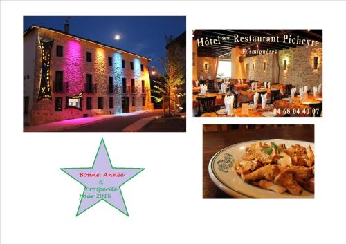
Hotel : Picheyre
This eco-friendly, renovated farm house is located in the village of Formiguères, 6 km from the ski resort of Les Angles. Free Wi-Fi is provided and the bar features an open fir...
Prices : from 70.00 €
to 128.00 €
Contact : 2 place de l'église 66210 Formiguères
Distance Hotel - Réal : 3.20 km
|
|
|
Guest accommodation : Holiday home Rue du Galbe
Situated 8 km from Puyvalador Rieutord and 11 km from Formiguères in Fontrabiouse, Holiday home Rue du Galbe offers accommodation with a kitchen. This holiday home offers barbec...
Rate : from 939.27 €
Contact : 20 Rue du Galbe 66210 Fontrabiouse
Distance Guest accommodation - Réal : 3.22 km
|
|
|
Apartment : 35 carrer d'amont
Boasting a spa bath, 35 carrer d'amont is set in Formiguères. The property is 5 km from Perches Blanches 1 Ski Lift and 5 km from Perches Blanches 2 Ski Lift. The apartment is ...
Contact : 35 Carrer d'Amont 66210 Formiguères
Distance Apartment - Réal : 3.25 km
|
|
|
Apartment : Apartment Formigueres - 4 pers, 37 m2, 2/1
Set in Formiguères, Apartment Formigueres - 4 pers, 37 m2, 2/1 is 2.8 km from Perches Blanches 1 Ski Lift. Cabanne Ski Lift is 2.9 km away. All units have a TV. There is also a...
Address : 312 B, Résidence Les Esplaneilles 66210 Formiguères
Distance Apartment - Réal : 3.26 km
|
|
|
Guest accommodation : Rental Villa Formigueres
Situated 4.4 km from Perches Blanches 1 Ski Lift in Formiguères, Rental Villa Formigueres offers accommodation with a kitchen. The chalet is 4.4 km from Perches Blanches 2 Ski L...
Contact : Nº3, Chalet Plein Soleil 66210 Formiguères
Distance Guest accommodation - Réal : 3.40 km
|
|
Find another hotel near Réal : Réal hotels list
|
Map of Réal
|
|
Map of Réal :
At right you can find the localization of Réal on the map of France. Below, this is the satellite map of Réal. A road map, and maps templates of Réal are available here : "road map of Réal". This map show Réal seen by the satellite of Google Map. To see the streets of Réal or move on another zone, use the buttons "zoom" and "map" on top of this dynamic map.
Search on the map of Réal :
To search hotels, housings, tourist information office, administrations or other services, use the Google search integrated to the map on the following page : "map Réal".
Hotels of Réal are listed on the map with the following icons: 
The map of Réal is centred in the following coordinates :
|

|
|
|
|
Print the map of Réal

Print the map of Réal : map of Réal
|
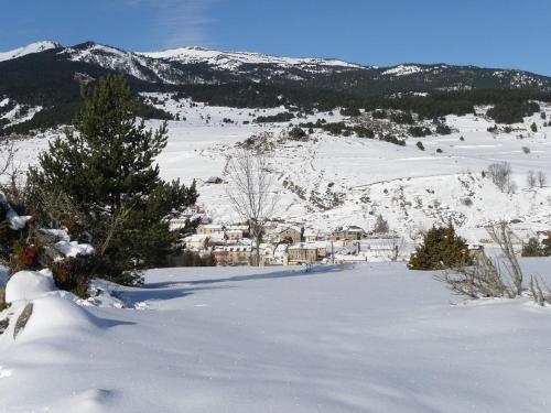
Photos Réal
|
See all photos of Réal :
Other photos of Réal and nearby towns can be found here: photos Réal
|
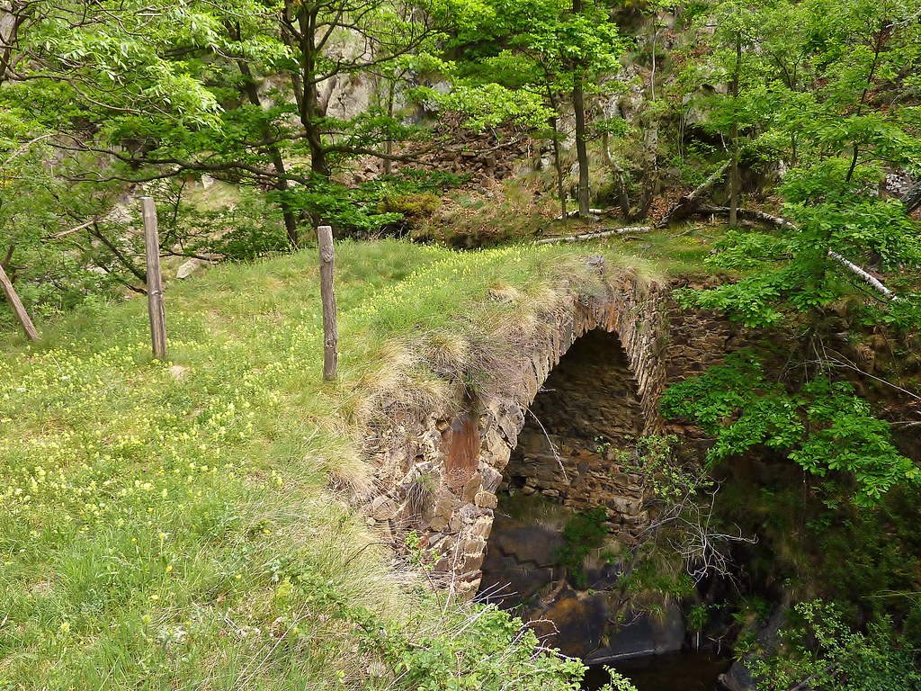
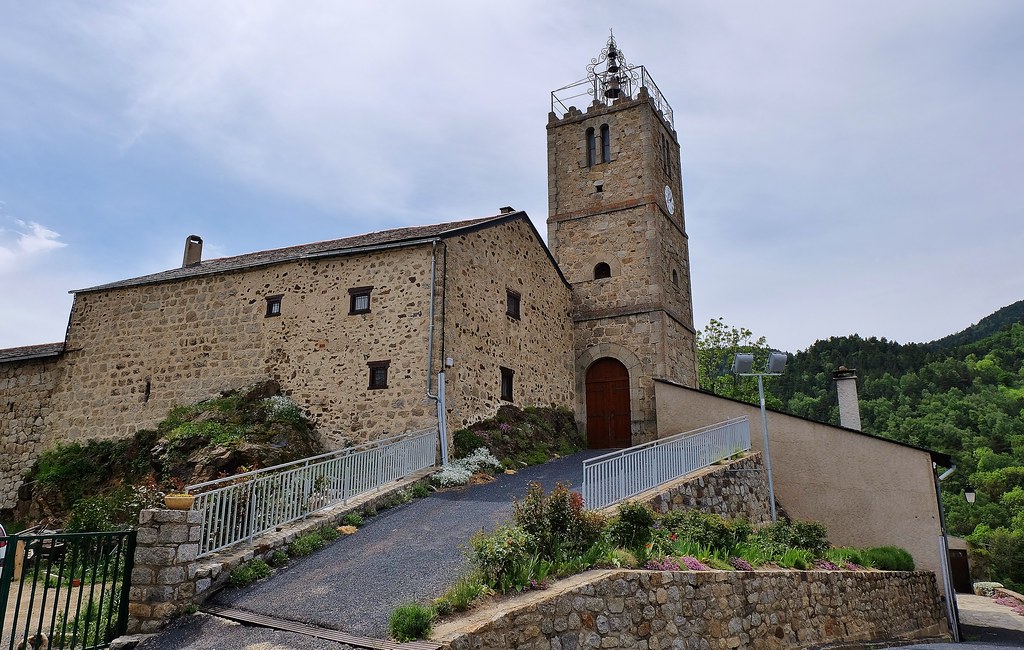
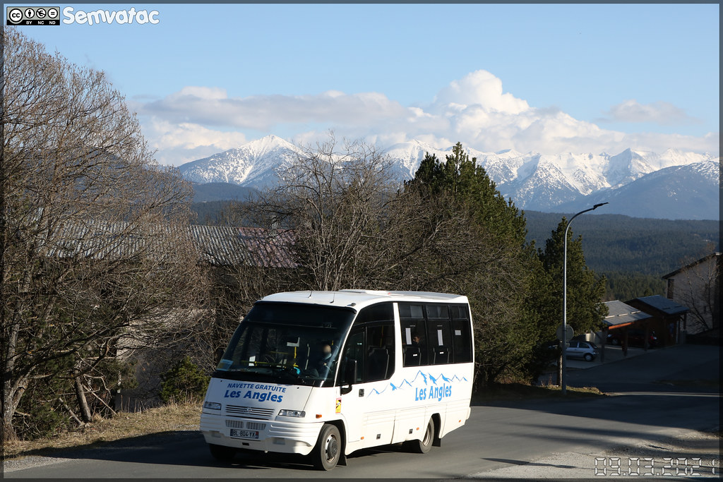
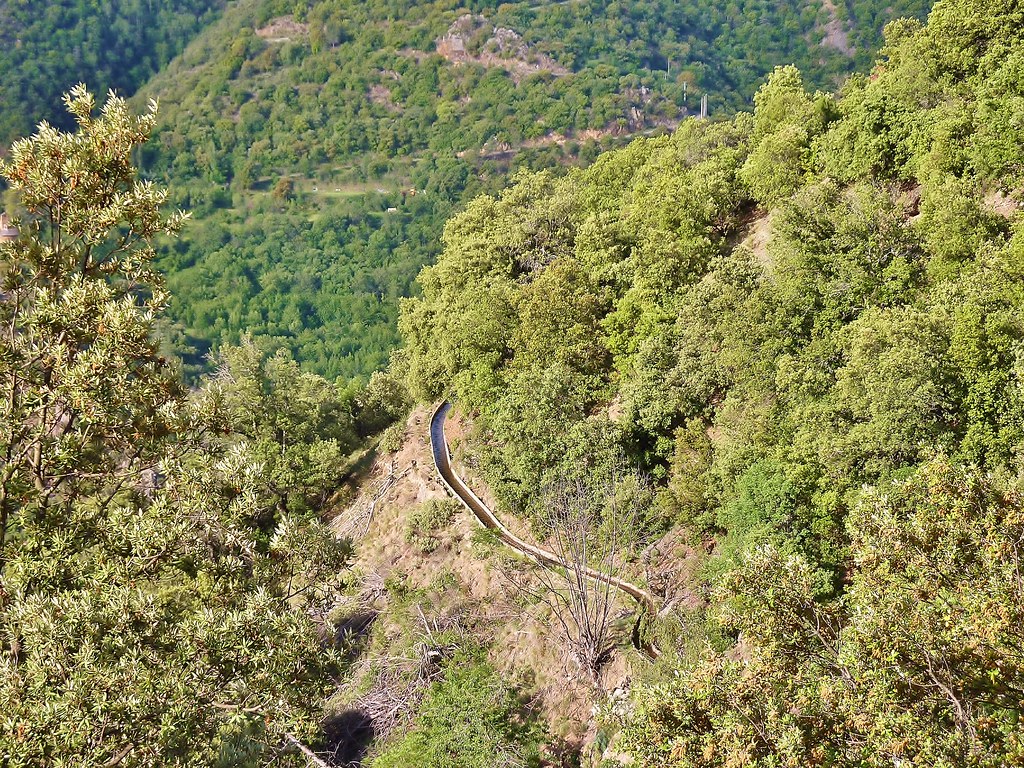
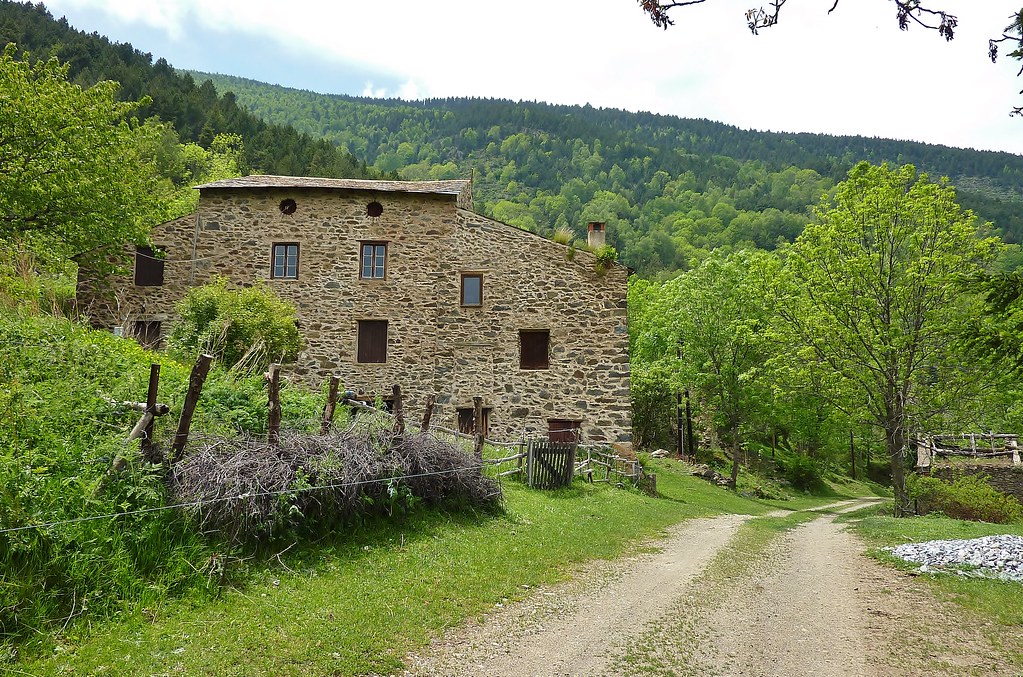
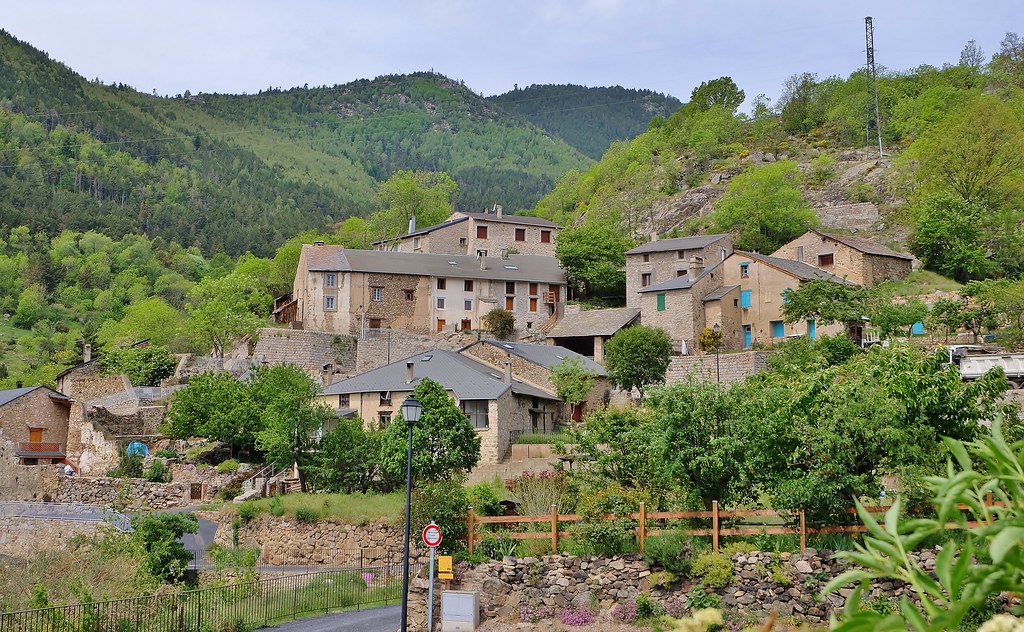
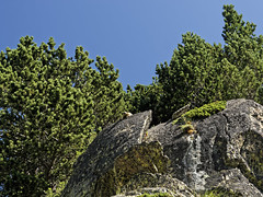
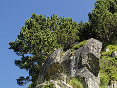
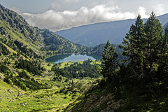
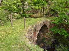
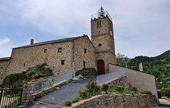
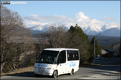
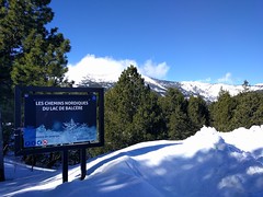
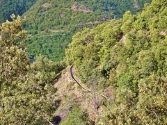
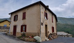
These photos taken near the town of Réal can be shown in full screen clicking on the thumbnails. Photos are copyrighted by their owners.
| | |
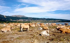
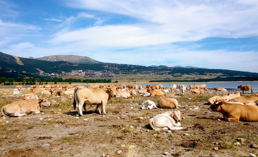
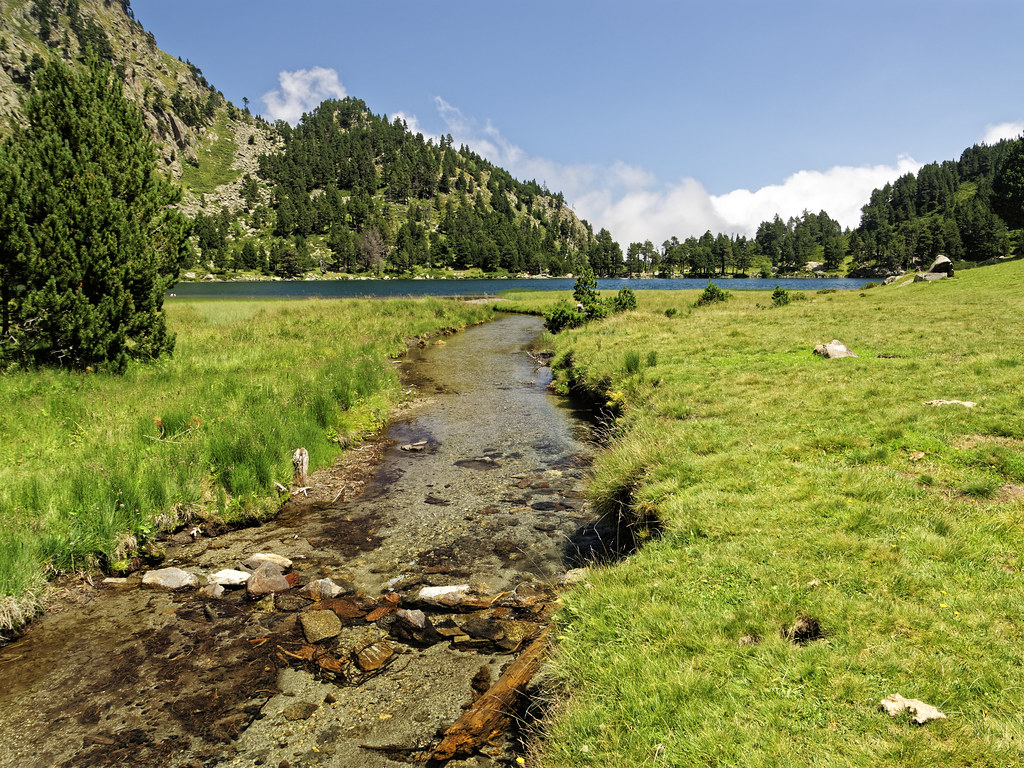
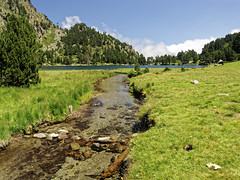
Lac de Matemale, Capcir
|

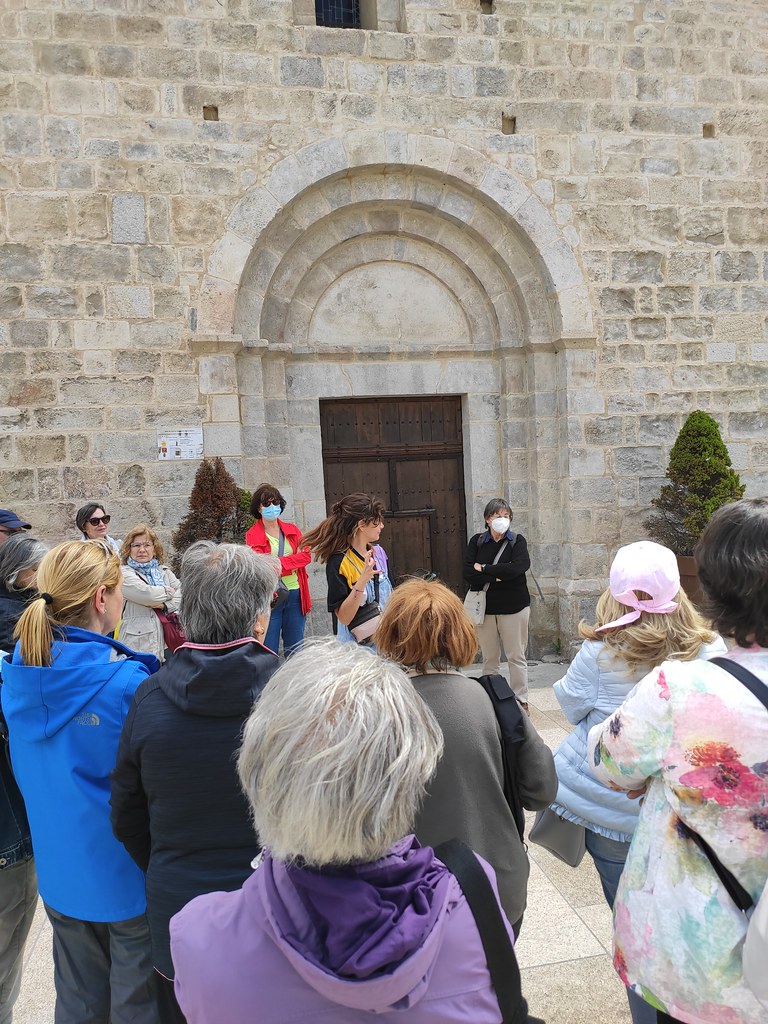
El alegre grupo
|
| |
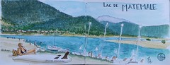
Lago de Matemale
|

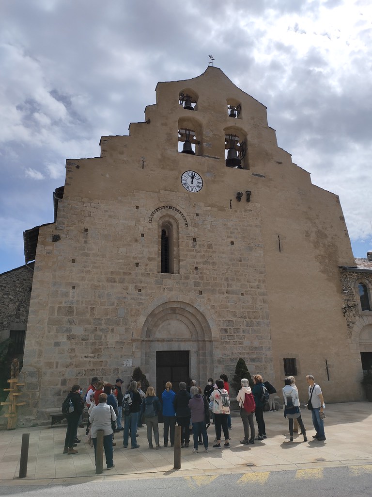
El Tren Groc del Pirineu Francès 29
|
| |
El Tren Groc del Pirineu Francès 28
|
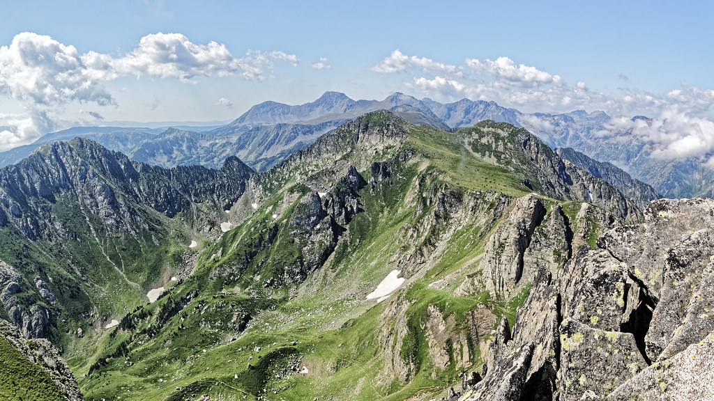
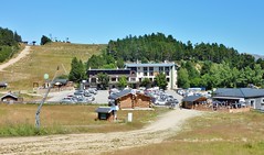
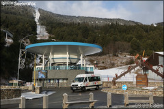
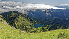
Capcir, Les Angles
|
| |

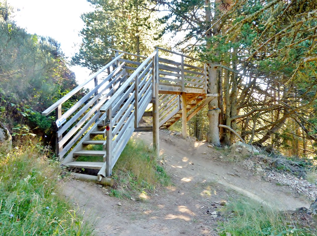
Capcir, Les Angles, passerelle sur piste VTT
|
Capcir, Pla del mir
|
| |
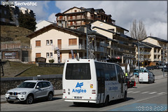
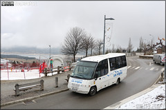
Mercedes-Benz Sprinter Transfer – Transports Cerdans / liO (Lignes Intermodales d’Occitanie)
|
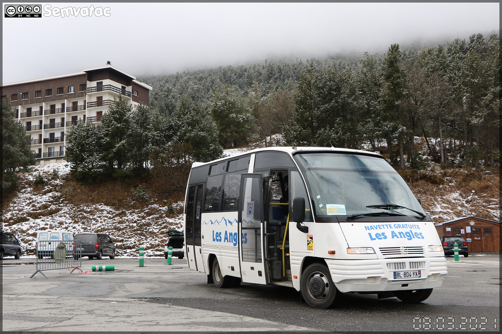
Mercedes-Benz Mago7 – Mairie des Angles / Les Angles
|
| |

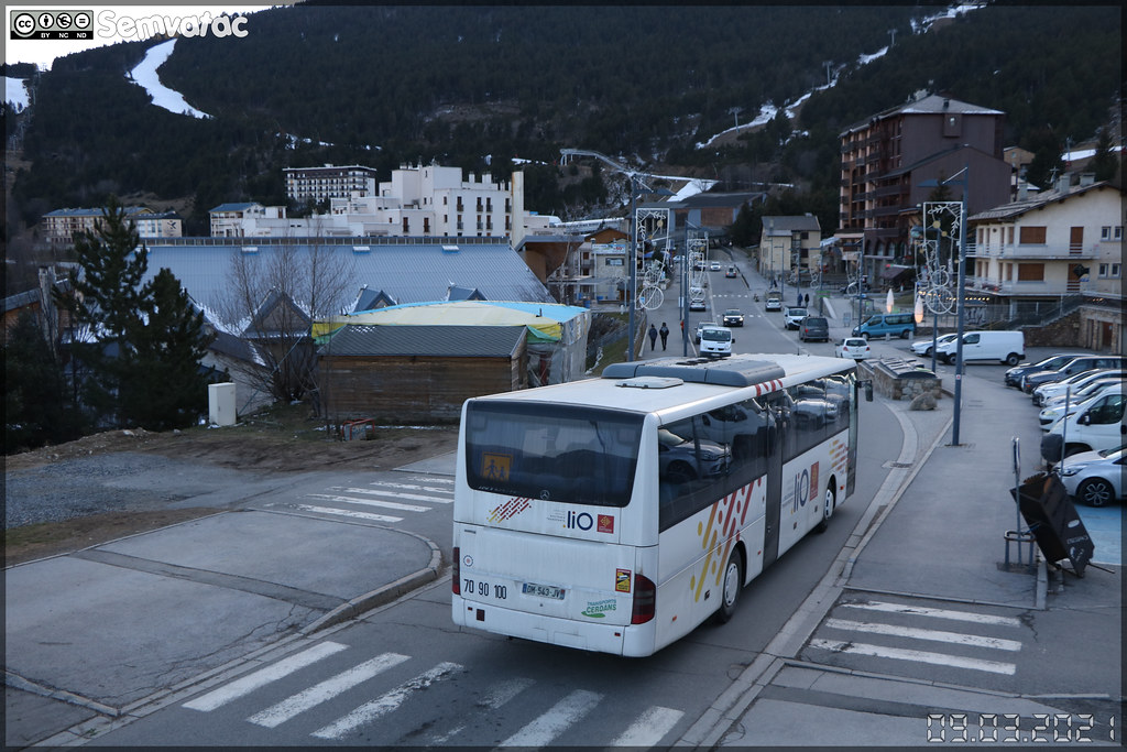
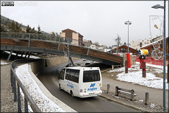
Mercedes-Benz Intouro – Transports Cerdans / liO (Lignes Intermodales d’Occitanie)
|
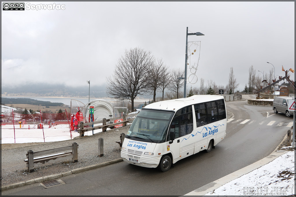
Mercedes-Benz Mago7 – Mairie des Angles / Les Angles
|
| |
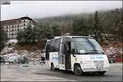
Mercedes-Benz Mago7 – Mairie des Angles / Les Angles
|
Mercedes-Benz Mago7 – Mairie des Angles / Les Angles
|
| |

_DSC8843_DxO_stitch_DxO
|
_DSC8867_DxO
|
| |
_DSC8850_DxO
|

_DSC8845_DxO
|
| |
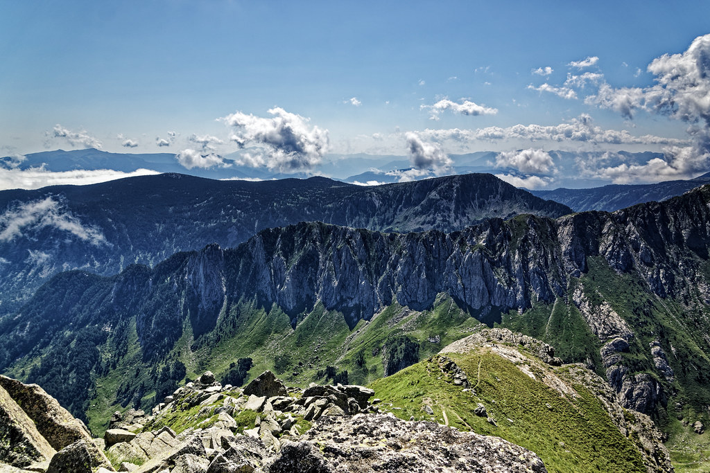
_DSC8801_DxO
|
_DSC8798_DxO
|
| |
_DSC8793_DxO
|
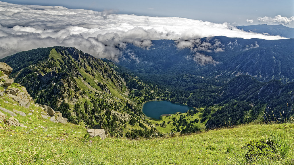
180817tourdesperics01
|
| |
Railleu, Garrotxes
|
Railleu, Garrotxes
|
| |
Mercedes-Benz Mago7 – Mairie des Angles / Les Angles
|
IMG_20190201_123536
|
| |
Guicha, Garrotxes
|

Moncles, Garrotxes
|
| |

Railleu, Garrotxes
|
Railleu, Garrotxes
|
|
Réal weather forecast
Find next hours and 7 days weather forecast for Réal here : weather Réal (with english metrics)
This is the last weather forecast for Réal collected by the nearest observation station of Mont-Louis.
Week Forecast:
The latest weather data for Réal were collected Friday, 26 April 2024 at 09:00 from the nearest observation station of Mont-Louis.
| Friday, April 26th |
9°C 0°C
52%
74%
|
Drizzle
Temperature Max: 9°C Temperature Min: 0°C
Precipitation Probability: 52% (Rain)
Percentage of sky occluded by clouds: 74%
Wind speed: 6 km/h North
Humidity: 64%° UV Index: 4
Sunrise: 06:53 Sunset: 20:46 |
|
| | Saturday, April 27th |
10°C 3°C
54%
84%
|
Rain
Temperature Max: 10°C Temperature Min: 3°C
Precipitation Probability: 54% (Rain)
Percentage of sky occluded by clouds: 84%
Wind speed: 17 km/h North
Humidity: 75%° UV Index: 4
Sunrise: 06:51 Sunset: 20:47 |
|
| | Sunday, April 28th |
10°C 3°C
54%
98%
|
Rain
Temperature Max: 10°C Temperature Min: 3°C
Precipitation Probability: 54% (Rain)
Percentage of sky occluded by clouds: 98%
Wind speed: 7 km/h North
Humidity: 69%° UV Index: 4
Sunrise: 06:50 Sunset: 20:48 |
|
| | Monday, April 29th |
6°C 2°C
59%
99%
|
Rain
Temperature Max: 6°C Temperature Min: 2°C
Precipitation Probability: 59% (Rain)
Percentage of sky occluded by clouds: 99%
Wind speed: 6 km/h Sout-East
Humidity: 79%° UV Index: 4
Sunrise: 06:48 Sunset: 20:49 |
|
|
Attribution: 
|
|
Other maps, hotels and towns in france
Find another town, zip code, department, region, ...
Quick links Réal :
Make a link to this page of Réal with the following code :
|
|
|
 French Version : http://www.cartesfrance.fr/carte-france-ville/66159_Real.html