|
The village of Roupy is a small village located north of France. The town of Roupy is located in the department of Aisne of the french region Picardie. The town of Roupy is located in the township of Vermand part of the district of Saint-Quentin. The area code for Roupy is 02658 (also known as code INSEE), and the Roupy zip code is 02590.
Geography and map of Roupy :
The altitude of the city hall of Roupy is approximately 95 meters. The Roupy surface is 5.90 km ². The latitude and longitude of Roupy are 49.814 degrees North and 3.184 degrees East.
Nearby cities and towns of Roupy are :
Savy (02590) at 1.93 km, Étreillers (02590) at 2.42 km, Fluquières (02590) at 2.44 km, Fontaine-lès-Clercs (02680) at 2.94 km, Vaux-en-Vermandois (02590) at 3.23 km, Castres (02680) at 3.98 km, Douchy (02590) at 4.03 km, Happencourt (02480) at 4.13 km.
(The distances to these nearby towns of Roupy are calculated as the crow flies)
Population and housing of Roupy :
The population of Roupy was 262 in 1999, 251 in 2006 and 249 in 2007. The population density of Roupy is 42.20 inhabitants per km². The number of housing of Roupy was 103 in 2007. These homes of Roupy consist of 98 main residences, 2 second or occasional homes and 3 vacant homes. |
|
|
Hotel Roupy
|
|
|
Book now ! Best Price Guaranteed, no booking fees, pay at the hotel with our partner Booking.com, leader in online hotel reservation.
Find all hotels of Roupy : Hotel Roupy
| |
|
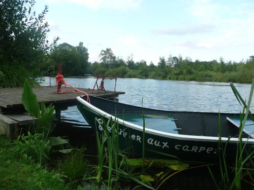
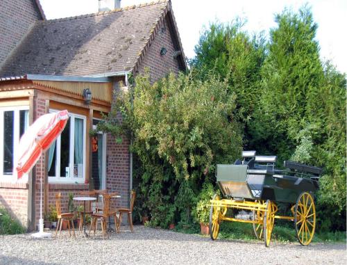
Guest accommodation : Camping du Vivier aux Carpes
Camping Du Vivier Aux Carpes is located a 20-minute drive from Saint-Quentin town centre and offers self-catering, wooden chalets with free Wi-Fi access. It is set by a lake, wh...
Address : 10 Rue Charles Voyeux 02790 Séraucourt-le-Grand
Distance Guest accommodation - Roupy : 4.18 km
|
|
|
Guest accommodation : Attilly
With a garden and a terrace, Attilly is situated in the holiday home and features free WiFi. Some units also have a kitchen equipped with an oven. Hiking can be enjoyed nearby...
Contact : 66 Grand Rue 02490 Attilly
Distance Guest accommodation - Roupy : 4.88 km
|
|
|
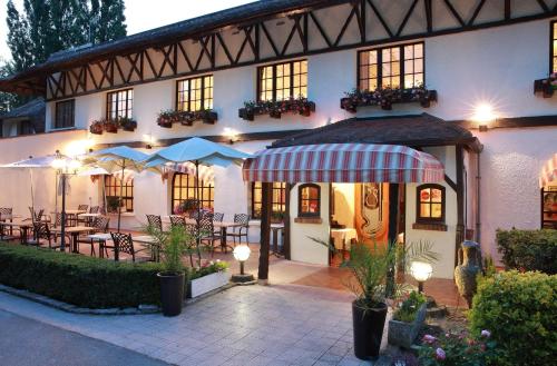
Hotel : Citotel Le Pot D'Etain

Citotel Le Pot D'Etain is located in the little village of Holnon, in a big green park and is close to roadways. The 30 rooms of the hotels are quiet, comfortable with all the ...
Prices : from 90.00 €
to 120.00 €
Contact : RN 29 02760 Holnon
Distance Hotel - Roupy : 5.93 km
|
|
|
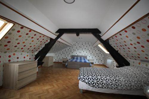
Guest accommodation : La Maison de l'Omignon
Set alongside a stream in Vermand, La Maison de l’Omignon proposes characteristic accommodation in a caravan or wooden hut. Saint-Quentin Nature Reserve and Canoe Club are both ...
Rate : from 125.00 €
Contact : 1 rue des Fontaines 02490 Vermand
Distance Guest accommodation - Roupy : 6.96 km
|
|
|
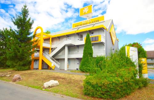
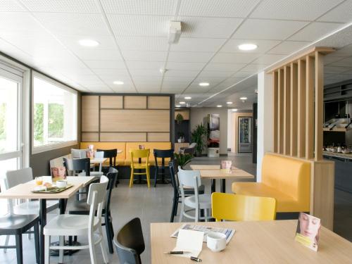
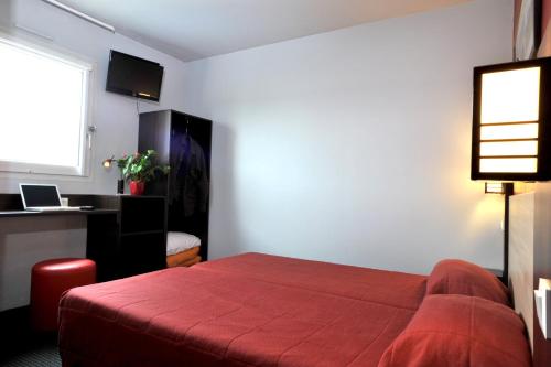
Hotel : Premiere Classe St Quentin
Located in Saint-Quentin, this Premiere Classe Hotel is a 3-minute drive from the access to the A26 motorway. It offers soundproofed accommodation with free Wi-Fi and cable TV. ...
Price : from 39.90 €
to 48.08 €
Address : Rue Antoine-Parmentier - Zac De La Vallée 02100 Saint-Quentin
Distance Hotel - Roupy : 7.03 km
|
|

|
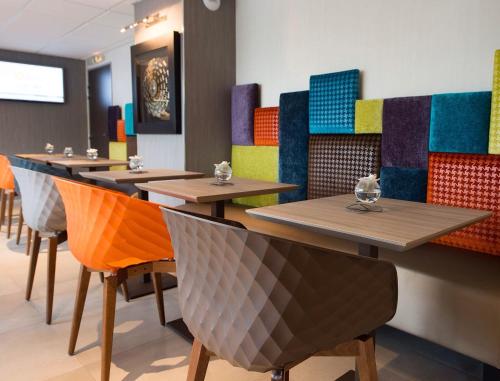
Hotel : Campanile Saint Quentin

The Campanile Saint Quentin offers private on-site parking, free Wi-Fi, comfortable accommodation and easy access to the A26 motorway in the heart of the Picardy region. Guest ...
Prices : from 49.00 €
to 81.00 €
Contact : Zac De La Vallée - Rue Charles Naudin 02100 Saint-Quentin
Distance Hotel - Roupy : 7.06 km
|
|
|
Hotel : B&B Hôtel SAINT-QUENTIN
Situated in Saint-Quentin, 3.4 km from Saint-Quentin Basilica, B&B Hôtel SAINT-QUENTIN provides accommodation with a terrace. This 2-star hotel offers free WiFi. The property is...
Rate : from 52.00 €
to 102.00 €
Contact : Rue Antoine Auguste Parmentier 02100 Saint-Quentin
Distance Hotel - Roupy : 7.10 km
|
|
|
Hotel : Brit Hotel St-Quentin/Nord
Brit Hotel St-Quentin/Nord is situated in the Picardie region, just a 5-minute drive from the A26 motorway and a 10-minute drive from the centre of Saint-Quentin. It provides ac...
Price : from 40.00 €
to 75.00 €
Contact : 9 rue Petite Vallée 02100 Fayet
Distance Hotel - Roupy : 7.35 km
|
|
|
Hotel : Hotel Kyriad Saint Quentin
This hotel is located in Saint-Quentin, a 1.5 km from Saint-Quentin Train Station. It offers free Wi-Fi and rooms have a TV with satellite channels. Free private and secure park...
Prices : from 59.50 €
to 116.00 €
Address : 2 bis Avenue Archimede, Zone Du Bois De La Chocque 02100 Saint-Quentin
Distance Hotel - Roupy : 7.38 km
|
|
|
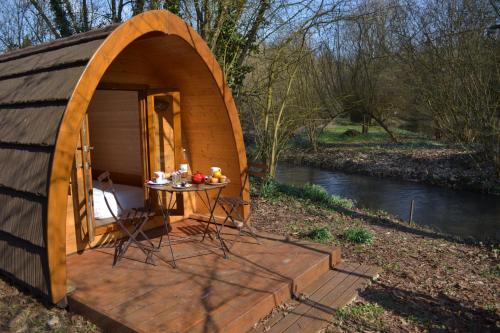
Bed and Breakfast : Le Val D'omignon
Located in Trefcon, Le Val D'omignon is set in a garden in the countryside and offers accommodation in a B&B where horses can also be welcomed. Free Wi-Fi and free private parki...
Rate : from 65.00 €
Contact : 3 Rue Principale 02490 Trefcon
Distance Bed and Breakfast - Roupy : 7.84 km
|
|
Find another hotel near Roupy : Roupy hotels list
|
Map of Roupy
|
|
Map of Roupy :
At right you can find the localization of Roupy on the map of France. Below, this is the satellite map of Roupy. A road map, and maps templates of Roupy are available here : "road map of Roupy". This map show Roupy seen by the satellite of Google Map. To see the streets of Roupy or move on another zone, use the buttons "zoom" and "map" on top of this dynamic map.
Search on the map of Roupy :
To search hotels, housings, tourist information office, administrations or other services, use the Google search integrated to the map on the following page : "map Roupy".
Hotels of Roupy are listed on the map with the following icons: 
The map of Roupy is centred in the following coordinates :
|

|
|
|
|
Print the map of Roupy

Print the map of Roupy : map of Roupy
|
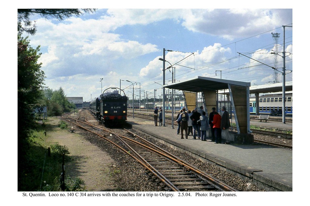
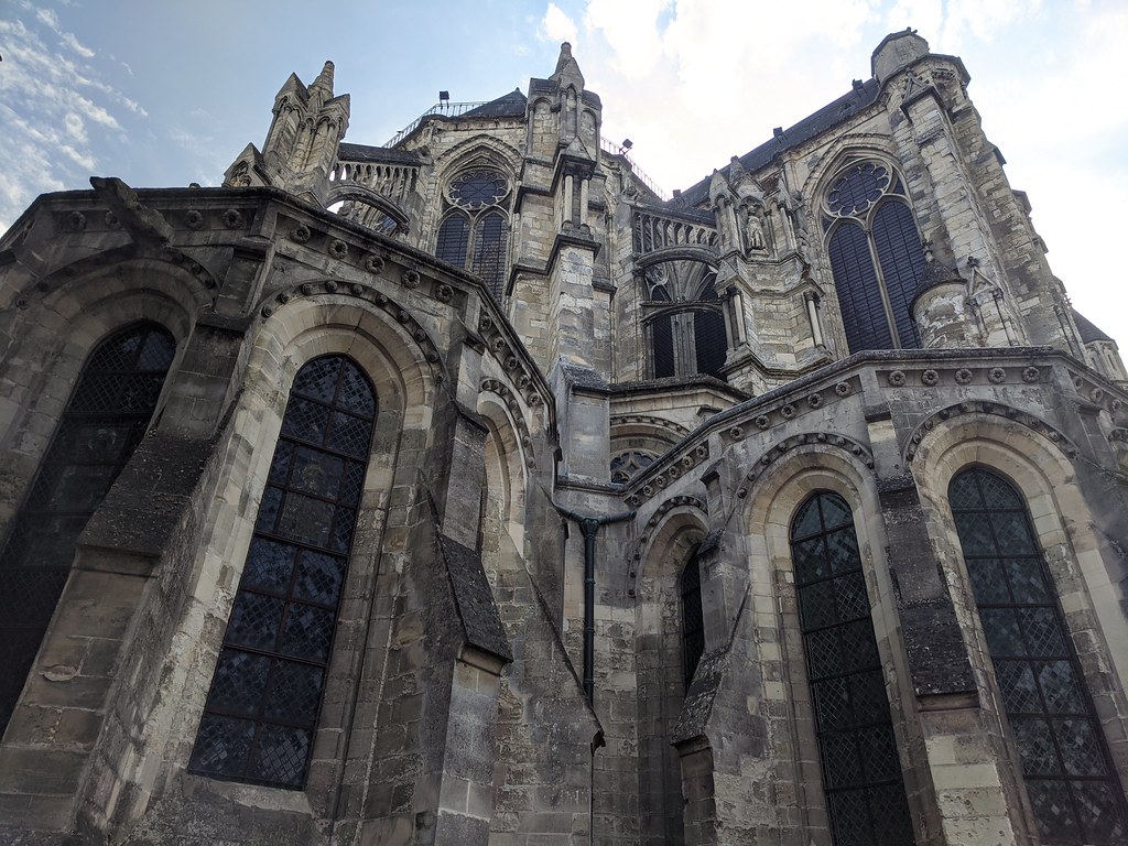
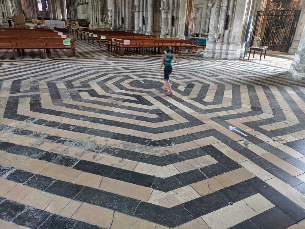
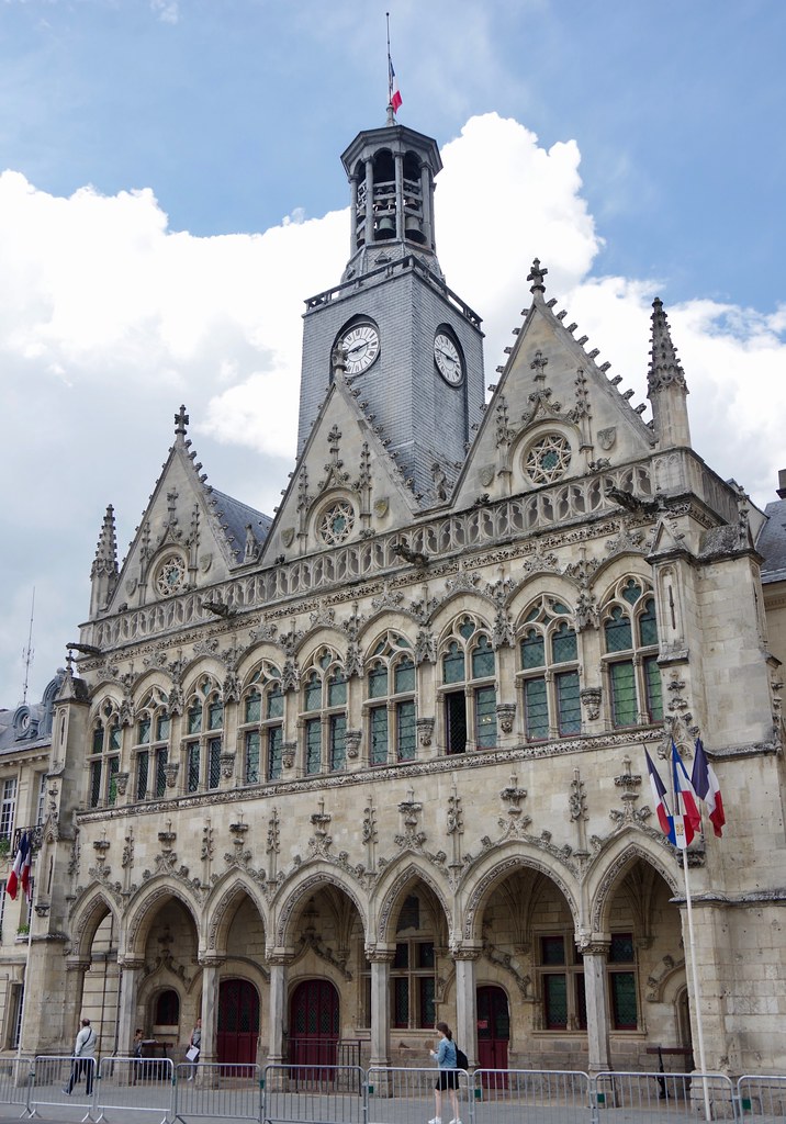
Photos Roupy
|
See all photos of Roupy :
Other photos of Roupy and nearby towns can be found here: photos Roupy
|
|
Roupy weather forecast
Find next hours and 7 days weather forecast for Roupy here : weather Roupy (with english metrics)
This is the last weather forecast for Roupy collected by the nearest observation station of Vermand.
Week Forecast:
The latest weather data for Roupy were collected Friday, 10 May 2024 at 06:00 from the nearest observation station of Vermand.
| Friday, May 10th |
23°C 9°C
0%
73%
|
Partly cloudy
Temperature Max: 23°C Temperature Min: 9°C
Precipitation Probability: 0%
Percentage of sky occluded by clouds: 73%
Wind speed: 11 km/h Sout-East
Humidity: 62%° UV Index: 4
Sunrise: 06:08 Sunset: 21:20 |
|
| | Saturday, May 11th |
24°C 11°C
0%
44%
|
Partly cloudy
Temperature Max: 24°C Temperature Min: 11°C
Precipitation Probability: 0%
Percentage of sky occluded by clouds: 44%
Wind speed: 13 km/h West
Humidity: 56%° UV Index: 6
Sunrise: 06:07 Sunset: 21:21 |
|
| | Sunday, May 12th |
25°C 14°C
29%
72%
|
Mostly cloudy
Temperature Max: 25°C Temperature Min: 14°C
Precipitation Probability: 29% (Rain)
Percentage of sky occluded by clouds: 72%
Wind speed: 13 km/h North-West
Humidity: 62%° UV Index: 5
Sunrise: 06:05 Sunset: 21:22 |
|
| | Monday, May 13th |
20°C 14°C
61%
71%
|
Drizzle
Temperature Max: 20°C Temperature Min: 14°C
Precipitation Probability: 61% (Rain)
Percentage of sky occluded by clouds: 71%
Wind speed: 20 km/h North
Humidity: 71%° UV Index: 5
Sunrise: 06:04 Sunset: 21:24 |
|
|
Attribution: 
|
|
Other maps, hotels and towns in france
Find another town, zip code, department, region, ...
Quick links Roupy :
Make a link to this page of Roupy with the following code :
|
|
|
 French Version : http://www.cartesfrance.fr/carte-france-ville/02658_Roupy.html