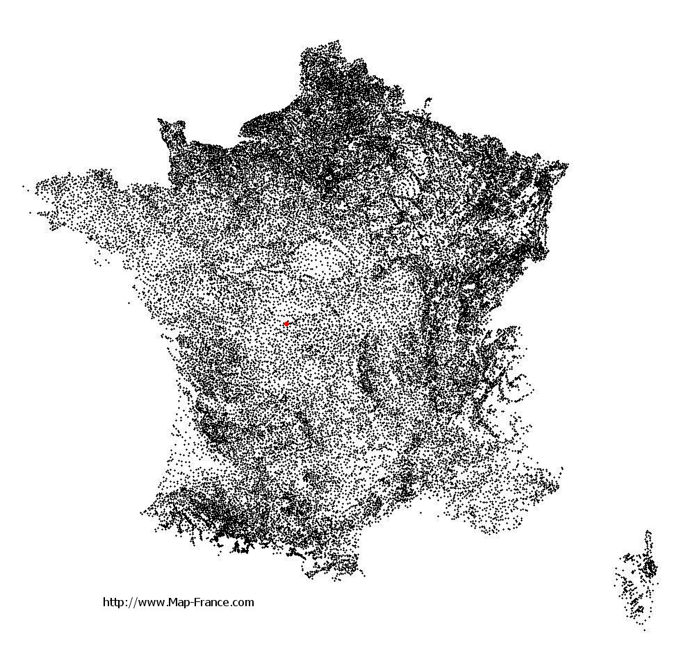
Sacierges-Saint-Martin on the relief France map in Lambert 93 coordinates
|

See the map of Sacierges-Saint-Martin in full screen (1000 x 949)
|
At left, here is the location of Sacierges-Saint-Martin on the relief France map in Lambert 93 coordinates.
Here are the altitudes of Sacierges-Saint-Martin :
- Town hall altitude of Sacierges-Saint-Martin is 142 meters
- Minimum altitude of Sacierges-Saint-Martin is 125 meters
- Maximum altitude of Sacierges-Saint-Martin is 224 meters
- Medium altitude of Sacierges-Saint-Martin is 175 meters
Here are the altitudes of Châteauroux, prefecture of Indre department:
- Town hall altitude of Châteauroux is 143 meters
- Minimum altitude of Châteauroux is 132 meters
- Maximum altitude of Châteauroux is 164 meters
- Medium altitude of Châteauroux is 148 meters
Here are the altitudes of the french biggest cities:
Paris : 33 meters
Marseille : 20 meters
Lyon : 237 meters
Toulouse : 146 meters
Nice : 10 meters
Nantes : 20 meters
Strasbourg : 144 meters
Montpellier : 35 meters
Bordeaux : 16 meters
Lille : 20 meters
Rennes : 35 meters
Reims : 83 meters
Click here for the terrain map of Sacierges-Saint-Martin in full screen:
Relief map of Sacierges-Saint-Martin
|
This relief map of Sacierges-Saint-Martin is reusable and modifiable by making a link to this page of the Map-France.com website or by using the given code :
|
Terrain base map of Sacierges-Saint-Martin
|

See the terrain base map of Sacierges-Saint-Martin in full screen (1000 x 949)
|
Small relief base map of Sacierges-Saint-Martin

|
This base map of Sacierges-Saint-Martin is reusable and modifiable by making a link to this page of the Map-France.com website or by using the given code :
|
Map of Sacierges-Saint-Martin with regions and prefectures
|
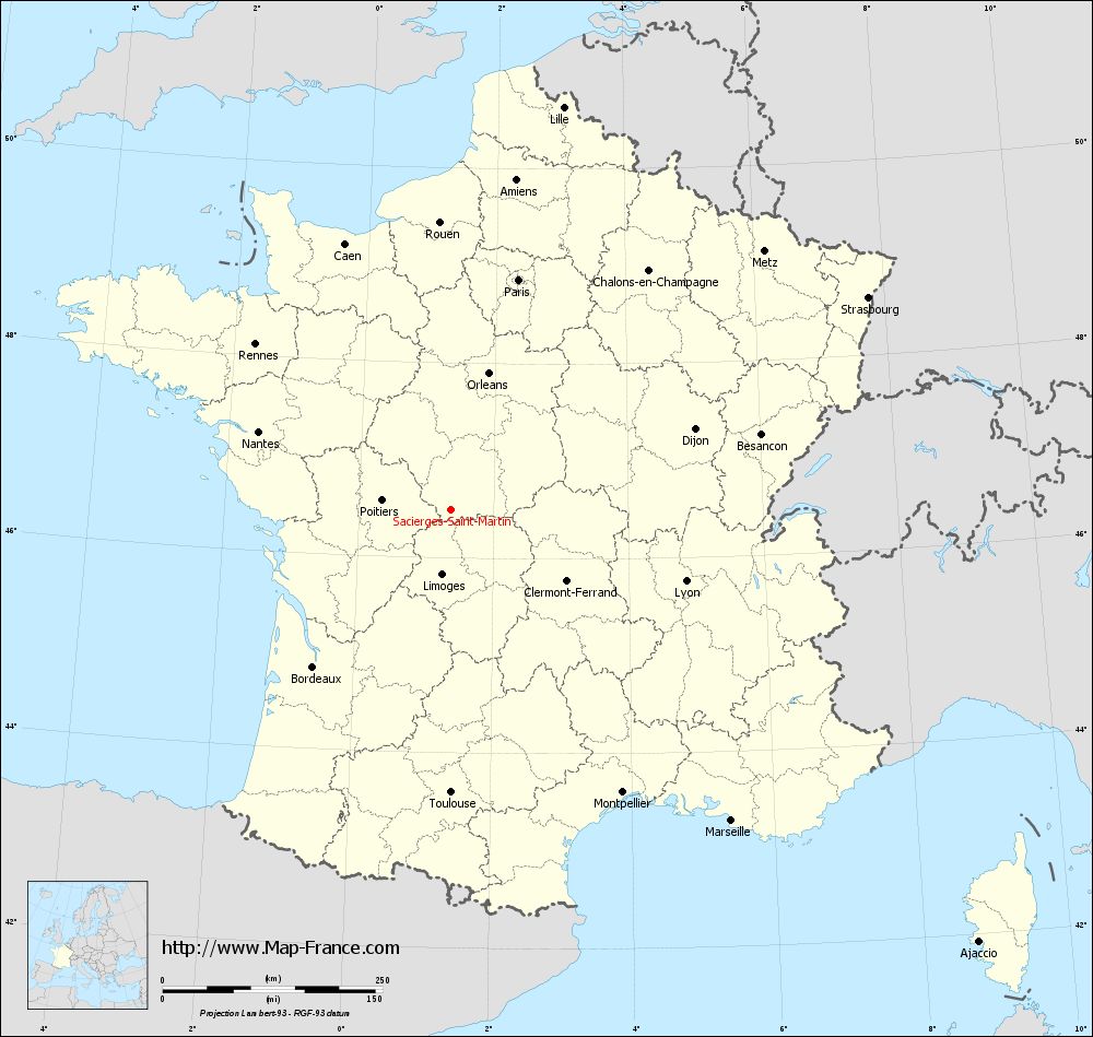
View the map of Sacierges-Saint-Martin in full screen (1000 x 949)
|
You will find the location of Sacierges-Saint-Martin on the map of France of regions in Lambert 93 coordinates. The town of Sacierges-Saint-Martin is located in the department of Indre of the french region Centre.
Geographical sexagesimal coordinates / GPS (WGS84):
Latitude: 46° 29' 40'' North
Longitude: 01° 21' 54'' East
Geographical decimal coordinates :
Latitude: 46.496 degrees (46.496° North)
Longitude: 1.366 degrees (1.366° East)
Lambert 93 coordinates :
X: 5 746 hectometers
Y: 66 007 hectometers
Lambert 2 coordinates :
X: 5 254 hectometers
Y: 21 665 hectometers
Below, the geographical coordinates of Châteauroux, prefecture of the Indre department:
Geographical sexagesimal coordinates / GPS (WGS84):
Latitude: 46° 48' 35'' North
Longitude: 01° 41' 25'' East
Geographical decimal coordinates :
Latitude: 46.811 degrees (46.811° North)
Longitude: 1.699 degrees (1.699° East)
Lambert 93 coordinates :
X: 6 001 hectometers
Y: 66 352 hectometers
Lambert 2 coordinates :
X: 5 507 hectometers
Y: 22 013 hectometers
|
This map of Sacierges-Saint-Martin is reusable and modifiable by making a link to this page of the Map-France.com website or by using the given code :
|
Map of Sacierges-Saint-Martin with departments and prefectures
|
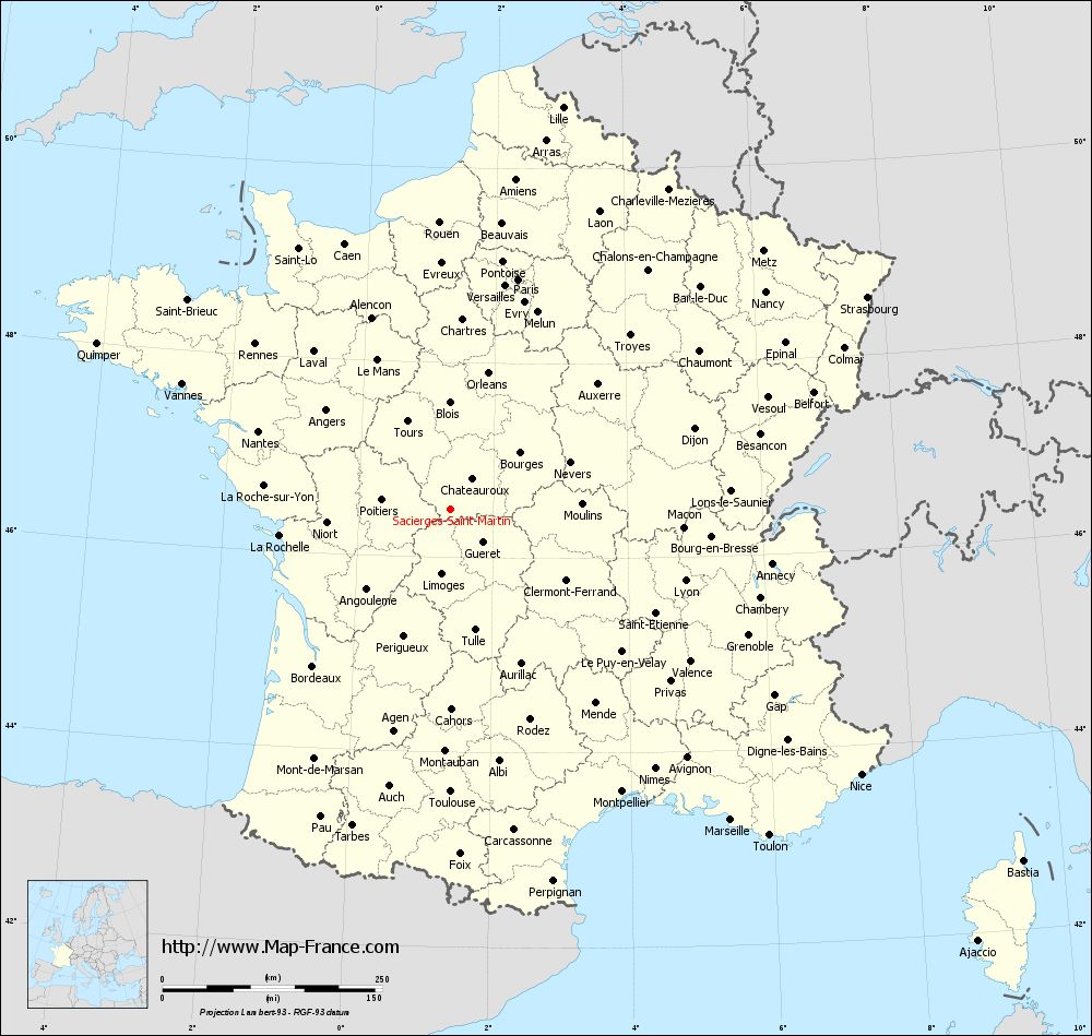
Voir la carte of Sacierges-Saint-Martin en grand format (1000 x 949)
|
Here is the localization of Sacierges-Saint-Martin on the France map of departments in Lambert 93 coordinates. The city of Sacierges-Saint-Martin is shown on the map by a red point.
The town of Sacierges-Saint-Martin is located in the department of Indre of the french region Centre.
The latitude of Sacierges-Saint-Martin is 46.496 degrees North.
The longitude of Sacierges-Saint-Martin is 1.366 degrees East.
Here the distance between Sacierges-Saint-Martin and the biggest cities of France:
Distances are calculated as the crow flies (orthodromic distance)
Distance between Sacierges-Saint-Martin and Paris : 272.72 kilometers
Distance between Sacierges-Saint-Martin and Marseille : 476.4 kilometers
Distance between Sacierges-Saint-Martin and Lyon : 279.3 kilometers
Distance between Sacierges-Saint-Martin and Toulouse : 321.87 kilometers
Distance between Sacierges-Saint-Martin and Nice : 556.46 kilometers
Distance between Sacierges-Saint-Martin and Nantes : 235.94 kilometers
Distance between Sacierges-Saint-Martin and Strasbourg : 532.21 kilometers
Distance between Sacierges-Saint-Martin and Montpellier : 376.34 kilometers
Distance between Sacierges-Saint-Martin and Bordeaux : 237.6 kilometers
Distance between Sacierges-Saint-Martin and Lille : 475.32 kilometers
Distance between Sacierges-Saint-Martin and Rennes : 291.07 kilometers
Distance between Sacierges-Saint-Martin and Reims : 365.45 kilometers
Clic here to see the map of Sacierges-Saint-Martin in full screen:
Sacierges-Saint-Martin on the map of french departments
|
This administrative map of Sacierges-Saint-Martin is reusable and modifiable by making a link to this page of the Map-France.com website or by using the given code :
|
Administrative base maps of Sacierges-Saint-Martin
|

See the administrative base map of Sacierges-Saint-Martin in full screen (1000 x 949)
|
Small administrative base map of Sacierges-Saint-Martin
|
This base map administrative of Sacierges-Saint-Martin is reusable and modifiable by making a link to this page of the Map-France.com website or by using the given code :
|
 French Version : http://www.cartesfrance.fr