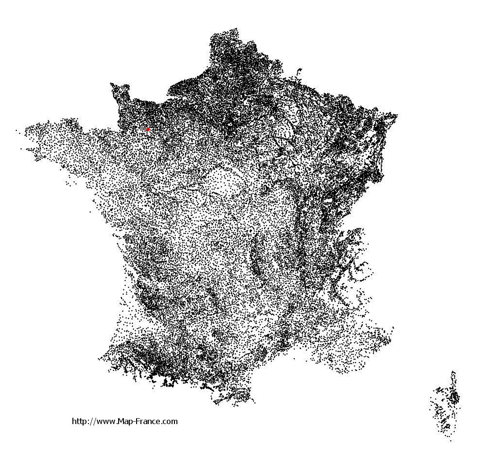
Saint-André-de-Messei on the relief France map in Lambert 93 coordinates
|

See the map of Saint-André-de-Messei in full screen (1000 x 949)
|
At left, here is the location of Saint-André-de-Messei on the relief France map in Lambert 93 coordinates.
Here are the altitudes of Saint-André-de-Messei :
- Town hall altitude of Saint-André-de-Messei is 216 meters
- Minimum altitude of Saint-André-de-Messei is 198 meters
- Maximum altitude of Saint-André-de-Messei is 291 meters
- Medium altitude of Saint-André-de-Messei is 245 meters
Here are the altitudes of Alençon, prefecture of Orne department:
- Town hall altitude of Alençon is 130 meters
- Minimum altitude of Alençon is 127 meters
- Maximum altitude of Alençon is 152 meters
- Medium altitude of Alençon is 140 meters
Here are the altitudes of the french biggest cities:
Paris : 33 meters
Marseille : 20 meters
Lyon : 237 meters
Toulouse : 146 meters
Nice : 10 meters
Nantes : 20 meters
Strasbourg : 144 meters
Montpellier : 35 meters
Bordeaux : 16 meters
Lille : 20 meters
Rennes : 35 meters
Reims : 83 meters
Click here for the terrain map of Saint-André-de-Messei in full screen:
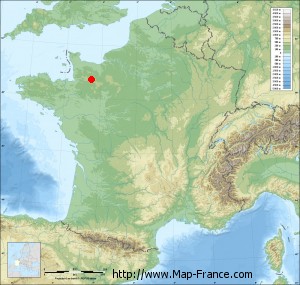
Relief map of Saint-André-de-Messei
|
This relief map of Saint-André-de-Messei is reusable and modifiable by making a link to this page of the Map-France.com website or by using the given code :
|
Terrain base map of Saint-André-de-Messei
|

See the terrain base map of Saint-André-de-Messei in full screen (1000 x 949)
|
Small relief base map of Saint-André-de-Messei
|
This base map of Saint-André-de-Messei is reusable and modifiable by making a link to this page of the Map-France.com website or by using the given code :
|
Map of Saint-André-de-Messei with regions and prefectures
|
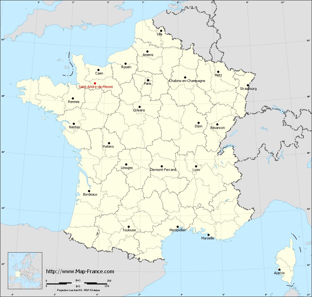
View the map of Saint-André-de-Messei in full screen (1000 x 949)
|
You will find the location of Saint-André-de-Messei on the map of France of regions in Lambert 93 coordinates. The town of Saint-André-de-Messei is located in the department of Orne of the french region Basse-Normandie.
Geographical sexagesimal coordinates / GPS (WGS84):
Latitude: 48° 41' 43'' North
Longitude: 00° 31' 18'' West
Geographical decimal coordinates :
Latitude: 48.695 degrees (48.695° North)
Longitude: -0.523 degrees (0.523° West)
Lambert 93 coordinates :
X: 4 409 hectometers
Y: 68 497 hectometers
Lambert 2 coordinates :
X: 3 895 hectometers
Y: 24 146 hectometers
Below, the geographical coordinates of Alençon, prefecture of the Orne department:
Geographical sexagesimal coordinates / GPS (WGS84):
Latitude: 48° 25' 47'' North
Longitude: 00° 05' 31'' East
Geographical decimal coordinates :
Latitude: 48.433 degrees (48.433° North)
Longitude: 0.089 degrees (0.089° East)
Lambert 93 coordinates :
X: 4 849 hectometers
Y: 68 183 hectometers
Lambert 2 coordinates :
X: 4 339 hectometers
Y: 23 836 hectometers
|
This map of Saint-André-de-Messei is reusable and modifiable by making a link to this page of the Map-France.com website or by using the given code :
|
Map of Saint-André-de-Messei with departments and prefectures
|
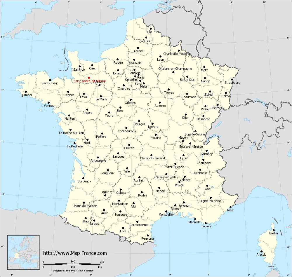
Voir la carte of Saint-André-de-Messei en grand format (1000 x 949)
|
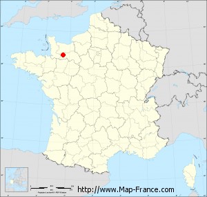
Here is the localization of Saint-André-de-Messei on the France map of departments in Lambert 93 coordinates. The city of Saint-André-de-Messei is shown on the map by a red point.
The town of Saint-André-de-Messei is located in the department of Orne of the french region Basse-Normandie.
The latitude of Saint-André-de-Messei is 48.695 degrees North.
The longitude of Saint-André-de-Messei is 0.523 degrees West.
Here the distance between Saint-André-de-Messei and the biggest cities of France:
Distances are calculated as the crow flies (orthodromic distance)
Distance between Saint-André-de-Messei and Paris : 210.82 kilometers
Distance between Saint-André-de-Messei and Marseille : 753.58 kilometers
Distance between Saint-André-de-Messei and Lyon : 519.19 kilometers
Distance between Saint-André-de-Messei and Toulouse : 586.08 kilometers
Distance between Saint-André-de-Messei and Nice : 815.13 kilometers
Distance between Saint-André-de-Messei and Nantes : 181.06 kilometers
Distance between Saint-André-de-Messei and Strasbourg : 607.63 kilometers
Distance between Saint-André-de-Messei and Montpellier : 658.45 kilometers
Distance between Saint-André-de-Messei and Bordeaux : 428.02 kilometers
Distance between Saint-André-de-Messei and Lille : 334.51 kilometers
Distance between Saint-André-de-Messei and Rennes : 107.47 kilometers
Distance between Saint-André-de-Messei and Reims : 337.9 kilometers
Clic here to see the map of Saint-André-de-Messei in full screen:
Saint-André-de-Messei on the map of french departments
|
This administrative map of Saint-André-de-Messei is reusable and modifiable by making a link to this page of the Map-France.com website or by using the given code :
|
Administrative base maps of Saint-André-de-Messei
|

See the administrative base map of Saint-André-de-Messei in full screen (1000 x 949)
|
Small administrative base map of Saint-André-de-Messei
|
This base map administrative of Saint-André-de-Messei is reusable and modifiable by making a link to this page of the Map-France.com website or by using the given code :
|
 French Version : http://www.cartesfrance.fr