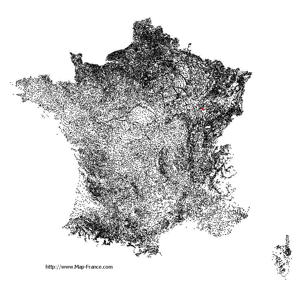
Saint-Broingt-le-Bois on the relief France map in Lambert 93 coordinates
|

See the map of Saint-Broingt-le-Bois in full screen (1000 x 949)
|
At left, here is the location of Saint-Broingt-le-Bois on the relief France map in Lambert 93 coordinates.
Here are the altitudes of Saint-Broingt-le-Bois :
- Town hall altitude of Saint-Broingt-le-Bois is 330 meters
- Minimum altitude of Saint-Broingt-le-Bois is 264 meters
- Maximum altitude of Saint-Broingt-le-Bois is 372 meters
- Medium altitude of Saint-Broingt-le-Bois is 318 meters
Here are the altitudes of Chaumont, prefecture of Haute-Marne department:
- Town hall altitude of Chaumont is 290 meters
- Minimum altitude of Chaumont is 247 meters
- Maximum altitude of Chaumont is 416 meters
- Medium altitude of Chaumont is 332 meters
Here are the altitudes of the french biggest cities:
Paris : 33 meters
Marseille : 20 meters
Lyon : 237 meters
Toulouse : 146 meters
Nice : 10 meters
Nantes : 20 meters
Strasbourg : 144 meters
Montpellier : 35 meters
Bordeaux : 16 meters
Lille : 20 meters
Rennes : 35 meters
Reims : 83 meters
Click here for the terrain map of Saint-Broingt-le-Bois in full screen:
Relief map of Saint-Broingt-le-Bois
|
This relief map of Saint-Broingt-le-Bois is reusable and modifiable by making a link to this page of the Map-France.com website or by using the given code :
|
Terrain base map of Saint-Broingt-le-Bois
|

See the terrain base map of Saint-Broingt-le-Bois in full screen (1000 x 949)
|
Small relief base map of Saint-Broingt-le-Bois

|
This base map of Saint-Broingt-le-Bois is reusable and modifiable by making a link to this page of the Map-France.com website or by using the given code :
|
Map of Saint-Broingt-le-Bois with regions and prefectures
|
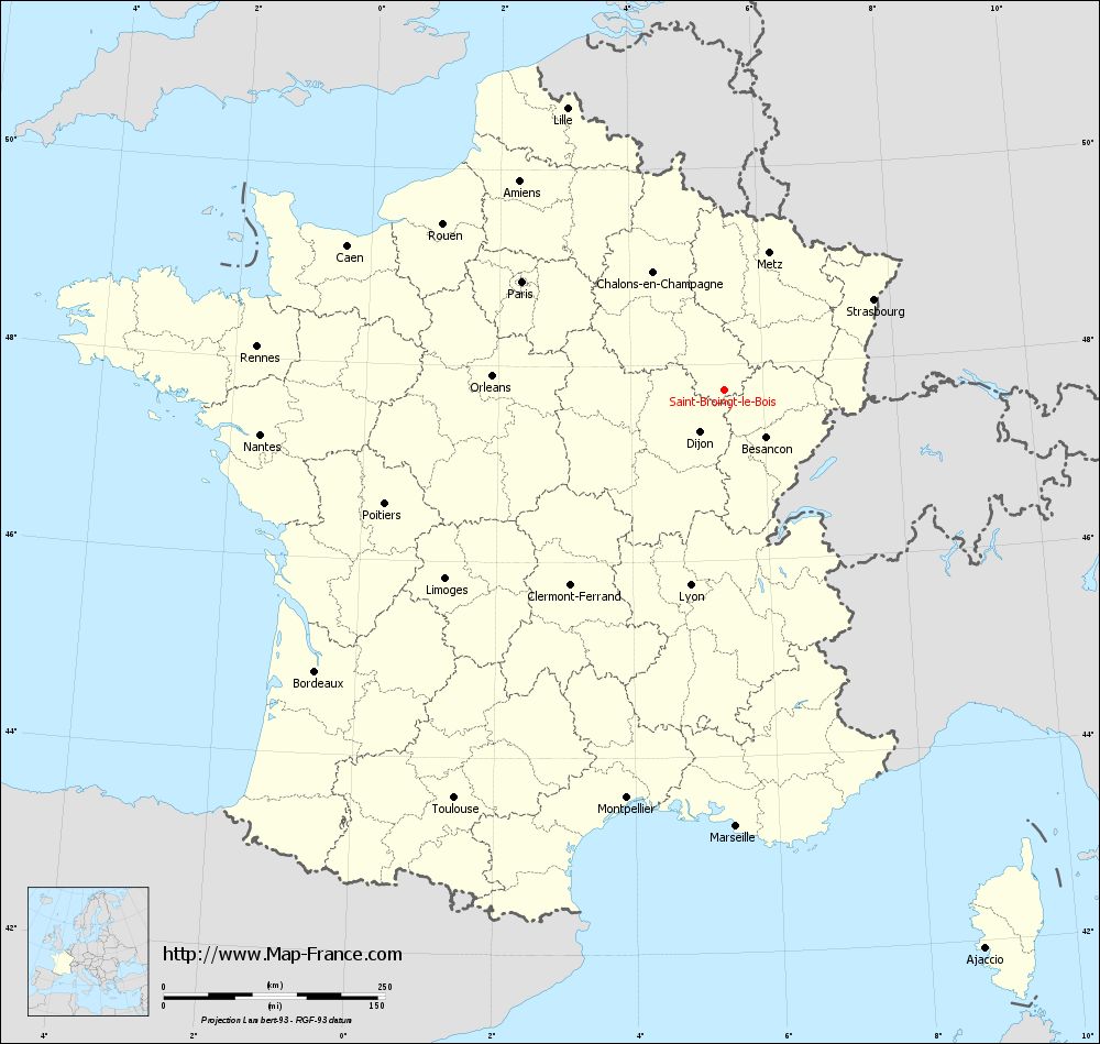
View the map of Saint-Broingt-le-Bois in full screen (1000 x 949)
|
You will find the location of Saint-Broingt-le-Bois on the map of France of regions in Lambert 93 coordinates. The town of Saint-Broingt-le-Bois is located in the department of Haute-Marne of the french region Champagne-Ardenne.
Geographical sexagesimal coordinates / GPS (WGS84):
Latitude: 47° 43' 59'' North
Longitude: 05° 25' 17'' East
Geographical decimal coordinates :
Latitude: 47.734 degrees (47.734° North)
Longitude: 5.423 degrees (5.423° East)
Lambert 93 coordinates :
X: 8 815 hectometers
Y: 67 397 hectometers
Lambert 2 coordinates :
X: 8 313 hectometers
Y: 23 083 hectometers
Below, the geographical coordinates of Chaumont, prefecture of the Haute-Marne department:
Geographical sexagesimal coordinates / GPS (WGS84):
Latitude: 48° 06' 39'' North
Longitude: 05° 08' 19'' East
Geographical decimal coordinates :
Latitude: 48.11 degrees (48.11° North)
Longitude: 5.14 degrees (5.14° East)
Lambert 93 coordinates :
X: 8 591 hectometers
Y: 67 811 hectometers
Lambert 2 coordinates :
X: 8 086 hectometers
Y: 23 495 hectometers
|
This map of Saint-Broingt-le-Bois is reusable and modifiable by making a link to this page of the Map-France.com website or by using the given code :
|
Map of Saint-Broingt-le-Bois with departments and prefectures
|
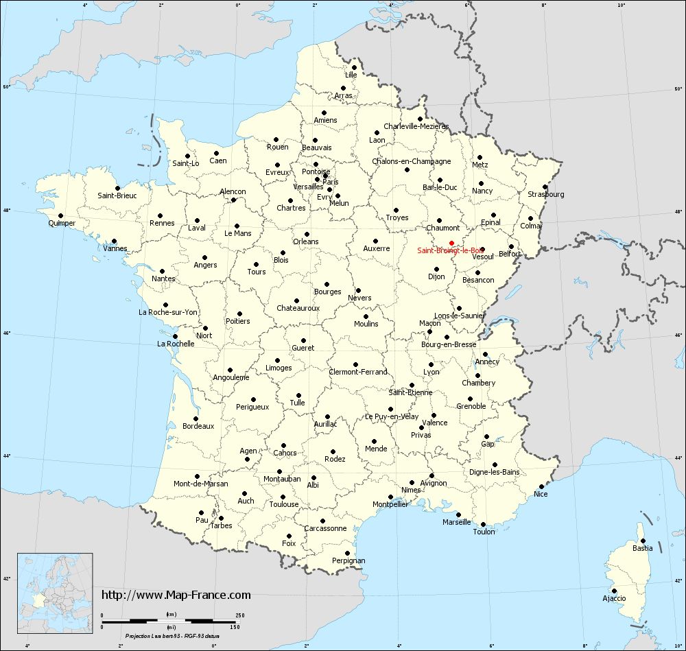
Voir la carte of Saint-Broingt-le-Bois en grand format (1000 x 949)
|
Here is the localization of Saint-Broingt-le-Bois on the France map of departments in Lambert 93 coordinates. The city of Saint-Broingt-le-Bois is shown on the map by a red point.
The town of Saint-Broingt-le-Bois is located in the department of Haute-Marne of the french region Champagne-Ardenne.
The latitude of Saint-Broingt-le-Bois is 47.734 degrees North.
The longitude of Saint-Broingt-le-Bois is 5.423 degrees East.
Here the distance between Saint-Broingt-le-Bois and the biggest cities of France:
Distances are calculated as the crow flies (orthodromic distance)
Distance between Saint-Broingt-le-Bois and Paris : 259.59 kilometers
Distance between Saint-Broingt-le-Bois and Marseille : 492.92 kilometers
Distance between Saint-Broingt-le-Bois and Lyon : 223.85 kilometers
Distance between Saint-Broingt-le-Bois and Toulouse : 553.09 kilometers
Distance between Saint-Broingt-le-Bois and Nice : 469.67 kilometers
Distance between Saint-Broingt-le-Bois and Nantes : 526.85 kilometers
Distance between Saint-Broingt-le-Bois and Strasbourg : 197.04 kilometers
Distance between Saint-Broingt-le-Bois and Montpellier : 473.79 kilometers
Distance between Saint-Broingt-le-Bois and Bordeaux : 561.18 kilometers
Distance between Saint-Broingt-le-Bois and Lille : 364.96 kilometers
Distance between Saint-Broingt-le-Bois and Rennes : 530.32 kilometers
Distance between Saint-Broingt-le-Bois and Reims : 197.91 kilometers
Clic here to see the map of Saint-Broingt-le-Bois in full screen:
Saint-Broingt-le-Bois on the map of french departments
|
This administrative map of Saint-Broingt-le-Bois is reusable and modifiable by making a link to this page of the Map-France.com website or by using the given code :
|
Administrative base maps of Saint-Broingt-le-Bois
|

See the administrative base map of Saint-Broingt-le-Bois in full screen (1000 x 949)
|
Small administrative base map of Saint-Broingt-le-Bois
|
This base map administrative of Saint-Broingt-le-Bois is reusable and modifiable by making a link to this page of the Map-France.com website or by using the given code :
|
 French Version : http://www.cartesfrance.fr