|
The village of Saint-Chamassy is a small village located south west of France. The town of Saint-Chamassy is located in the department of Dordogne of the french region Aquitaine. The town of Saint-Chamassy is located in the township of Saint-Cyprien part of the district of Sarlat-la-Canéda. The area code for Saint-Chamassy is 24388 (also known as code INSEE), and the Saint-Chamassy zip code is 24260.
Geography and map of Saint-Chamassy :
The altitude of the city hall of Saint-Chamassy is approximately 175 meters. The Saint-Chamassy surface is 15.60 km ². The latitude and longitude of Saint-Chamassy are 44.872 degrees North and 0.927 degrees East.
Nearby cities and towns of Saint-Chamassy are :
Audrix (24260) at 1.86 km, Le Buisson-de-Cadouin (24480) at 3.02 km, Limeuil (24510) at 3.30 km, Campagne (24260) at 4.94 km, Alles-sur-Dordogne (24480) at 4.95 km, Le Bugue (24260) at 5.34 km, Coux-et-Bigaroque (24220) at 5.55 km, Paunat (24510) at 6.46 km.
(The distances to these nearby towns of Saint-Chamassy are calculated as the crow flies)
Population and housing of Saint-Chamassy :
The population of Saint-Chamassy was 450 in 1999, 475 in 2006 and 492 in 2007. The population density of Saint-Chamassy is 31.54 inhabitants per km². The number of housing of Saint-Chamassy was 366 in 2007. These homes of Saint-Chamassy consist of 221 main residences, 137 second or occasional homes and 8 vacant homes. |
|
|
Hotel Saint-Chamassy
|
|
|
Book now ! Best Price Guaranteed, no booking fees, pay at the hotel with our partner Booking.com, leader in online hotel reservation.
Find all hotels of Saint-Chamassy : Hotel Saint-Chamassy
| |
|
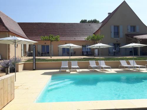
Bed and Breakfast : La Douce Dordogne
Situated in Coux-et-Bigaroque, 35 km from Sarlat-la-Canéda, La Douce Dordogne offers a seasonal outdoor swimming pool and free WiFi. Some units include a dining area and/or a t...
Address : Lieu-dit Lanceplaine 24220 Coux-et-Bigaroque
Distance Bed and Breakfast - Saint-Chamassy : 2.31 km
|
|
|
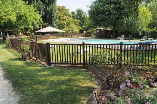
Guest accommodation : Camping La Ferme de Perdigat

With garden views, Camping La Ferme de Perdigat is situated in Limeuil and has a restaurant and a kids' club. The units have a fully equipped kitchen with dining area, a microw...
Contact : Perdigat 24510 Limeuil
Distance Guest accommodation - Saint-Chamassy : 2.53 km
|
|
|
Apartment : Apartment Lieu 09
Apartment Lieu 09 is located in La Terrasse. Guests staying at this apartment have access to a fully equipped kitchenette. The apartment offers an outdoor pool. Sarlat-la-Cané...
Contact : 24510 La Terrasse
Distance Apartment - Saint-Chamassy : 2.53 km
|
|
|
Apartment : Apartment Lieu 08
Apartment Lieu 08 is set in La Terrasse. Guests are welcome to go for a swim in the outdoor pool. This apartment is equipped with a living room and a fully equipped kitchenette...
Contact : 24510 La Terrasse
Distance Apartment - Saint-Chamassy : 2.54 km
|
|
|
Apartment : Apartment Lieu 01
Apartment Lieu 01 is set in La Terrasse. Guests staying at this apartment have access to a fully equipped kitchenette. The apartment offers an outdoor pool. Sarlat-la-Canéda i...
Address : 24510 La Terrasse
Distance Apartment - Saint-Chamassy : 2.54 km
|
|
|
Apartment : Apartment Lieu 02
Apartment Lieu 02 is set in La Terrasse. Guests staying at this apartment have access to a fully equipped kitchenette. The apartment has a TV. The apartment offers an outdoor ...
Contact : 24510 La Terrasse
Distance Apartment - Saint-Chamassy : 2.54 km
|
|

|
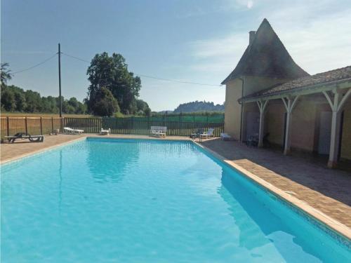
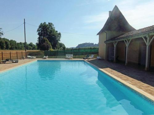
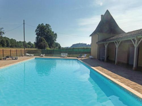
Hotel : Le Manoir de Bellerive
Set in a 19th-century manor along the Dordogne River, Le Manoir de Bellerive offers a 4-hectare tree filled park, an outdoor swimming pool viewing the river and a tennis court. ...
Contact : Route de Siorac 24480 Le Buisson de Cadouin
Distance Hotel - Saint-Chamassy : 3.07 km
|
|
|
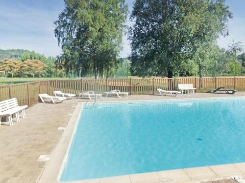
Hotel : Domaine de La Vitrolle
Domaine de la Vitrolle is a 17th-century manor, located 1 km from the castle in Limeuil. You can relax in the season swimming pool or explore the surrounding vineyards. The roo...
Price : from 77.00 €
to 113.00 €
Contact : Route du Bugue 24510 Limeuil
Distance Hotel - Saint-Chamassy : 3.20 km
|
|

|
Guest accommodation : Holiday Home Les 07
Located in La Terrasse, Holiday Home Les 07 provides accommodation with a private pool. Guests may go for a swim in the outdoor pool. The holiday home includes 6 bedrooms and a...
Address : 24510 La Terrasse
Distance Guest accommodation - Saint-Chamassy : 3.31 km
|
|
|
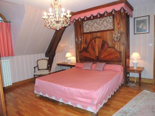
Bed and Breakfast : Au Bon Accueil
This B&B is set in a typically Perigordian stone house in the centre of Limeuil, a medieval hamlet in the heart of the Dordogne department. Guests have free Wi-Fi and are invite...
Contact : Le Bourg 24510 Limeuil
Distance Bed and Breakfast - Saint-Chamassy : 3.32 km
|
|
Find another hotel near Saint-Chamassy : Saint-Chamassy hotels list
|
Map of Saint-Chamassy
|
|
Map of Saint-Chamassy :
At right you can find the localization of Saint-Chamassy on the map of France. Below, this is the satellite map of Saint-Chamassy. A road map, and maps templates of Saint-Chamassy are available here : "road map of Saint-Chamassy". This map show Saint-Chamassy seen by the satellite of Google Map. To see the streets of Saint-Chamassy or move on another zone, use the buttons "zoom" and "map" on top of this dynamic map.
Search on the map of Saint-Chamassy :
To search hotels, housings, tourist information office, administrations or other services, use the Google search integrated to the map on the following page : "map Saint-Chamassy".
Hotels of Saint-Chamassy are listed on the map with the following icons: 
The map of Saint-Chamassy is centred in the following coordinates :
|

|
|
|
|
Print the map of Saint-Chamassy

Print the map of Saint-Chamassy : map of Saint-Chamassy
|
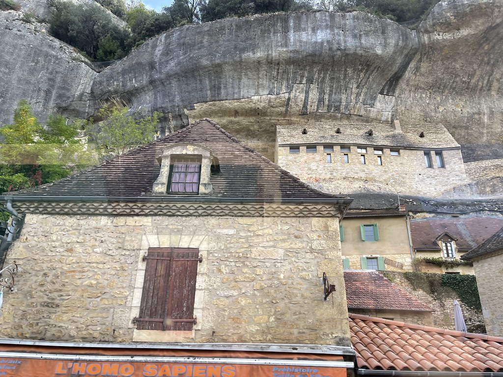
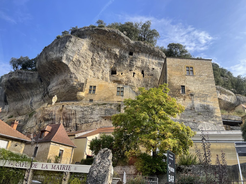
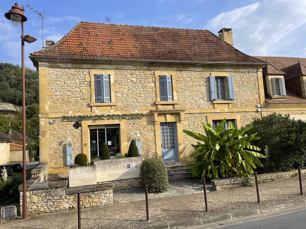
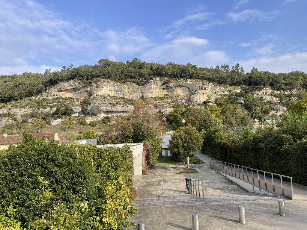
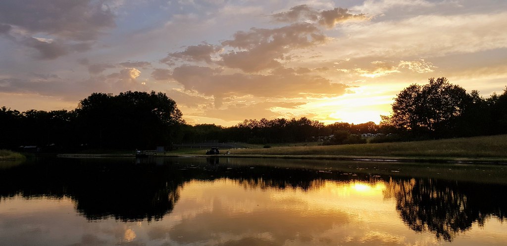
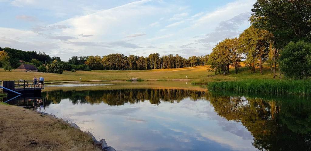
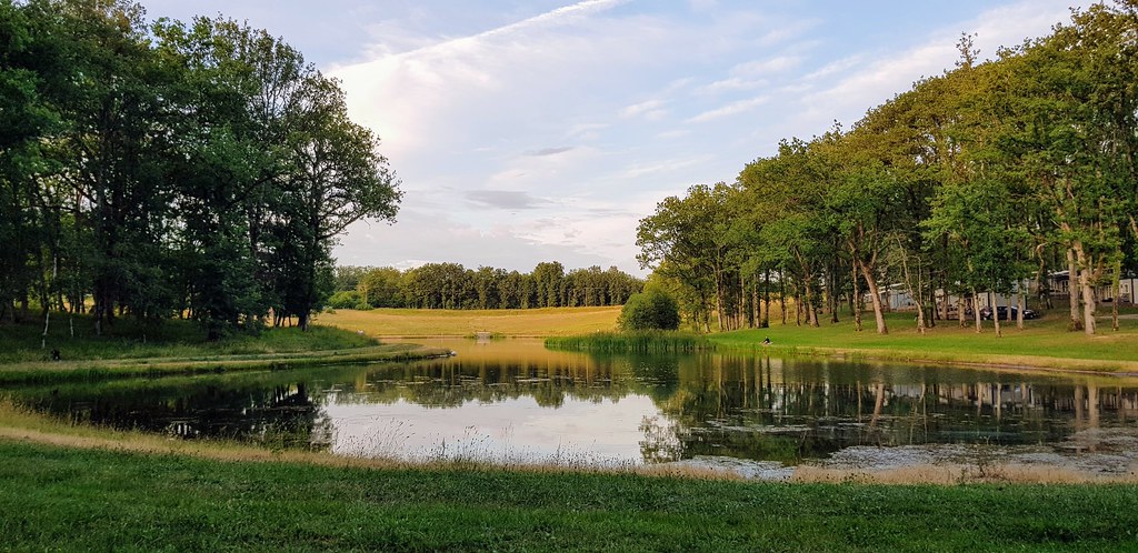
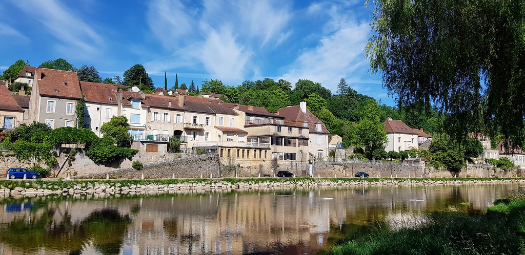
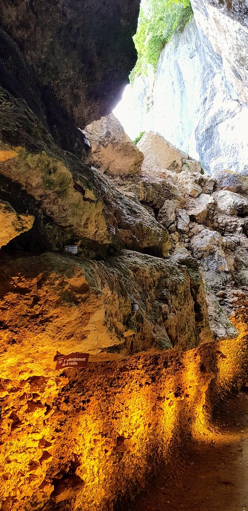
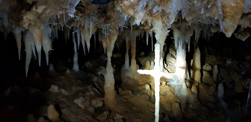
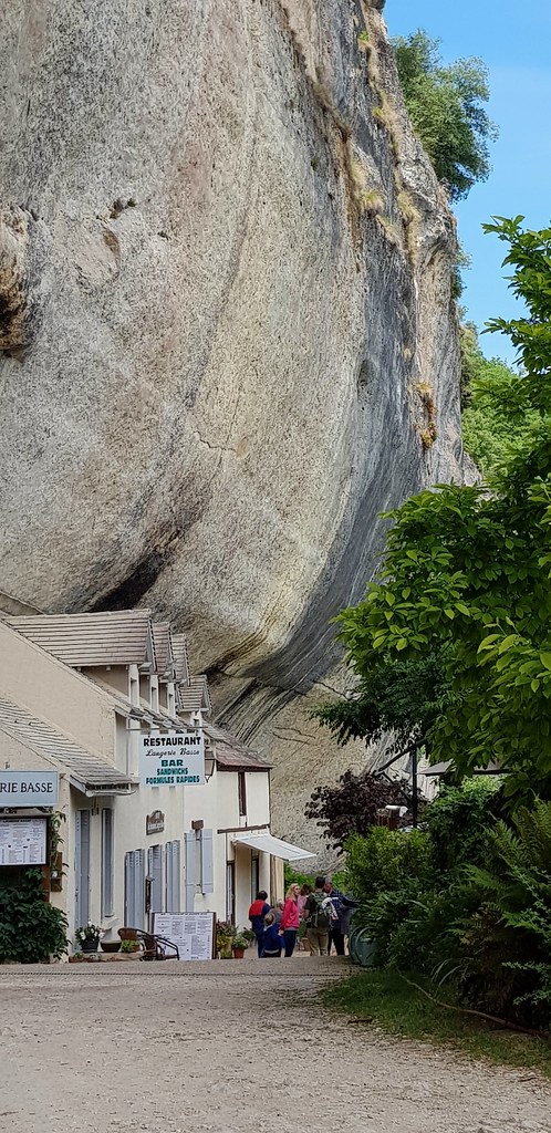
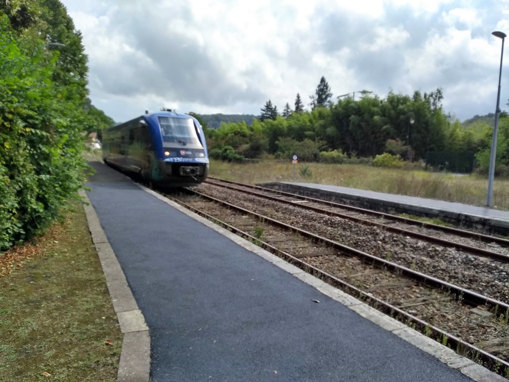
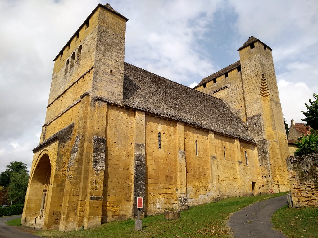
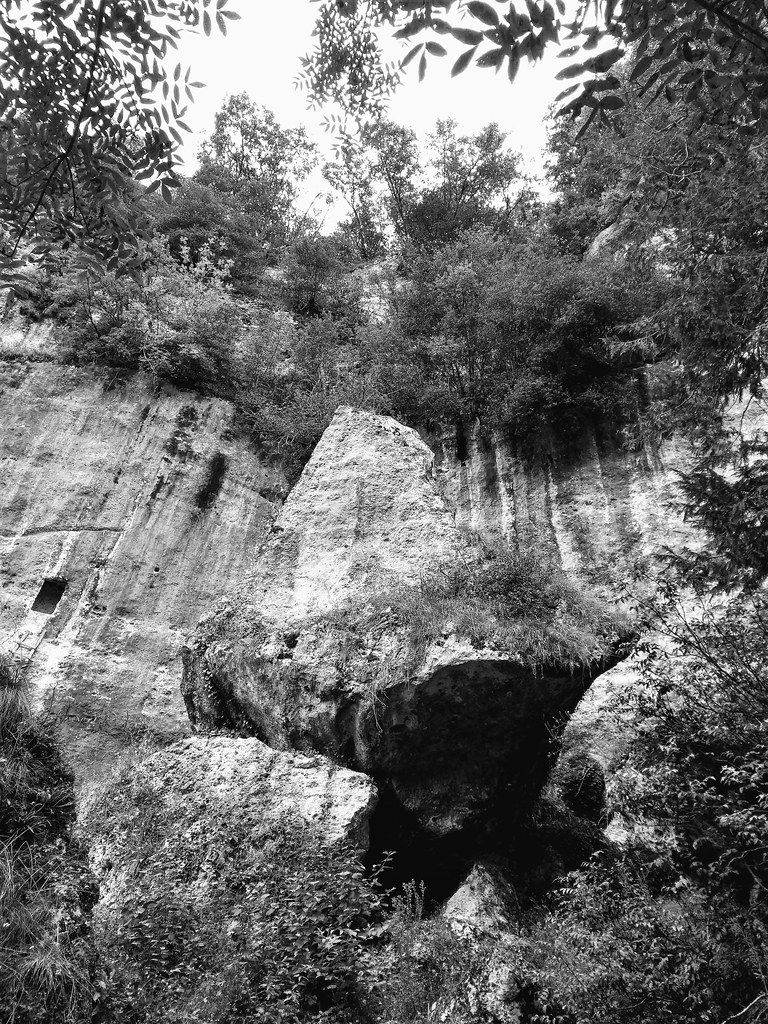
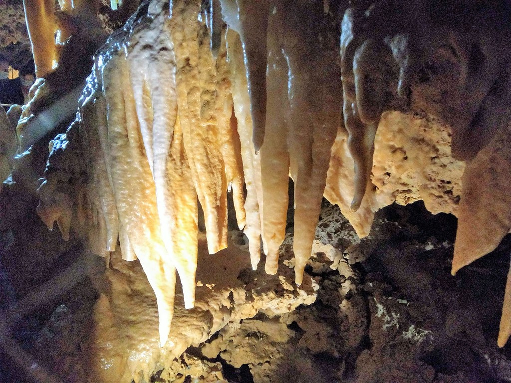
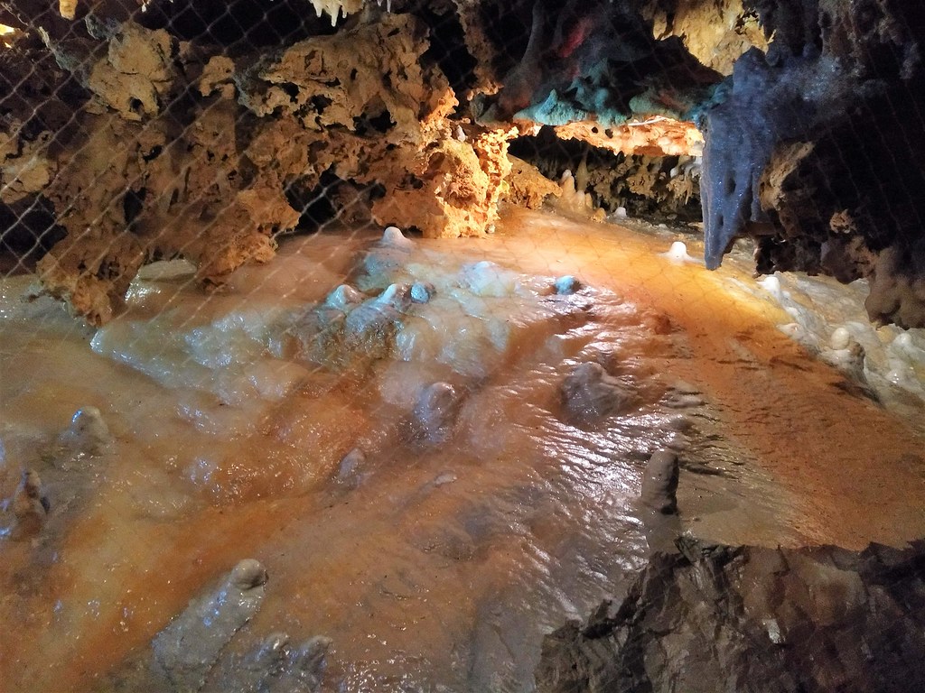
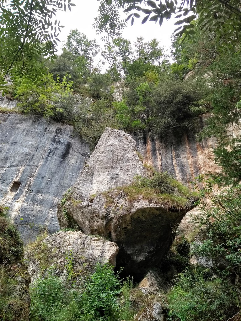
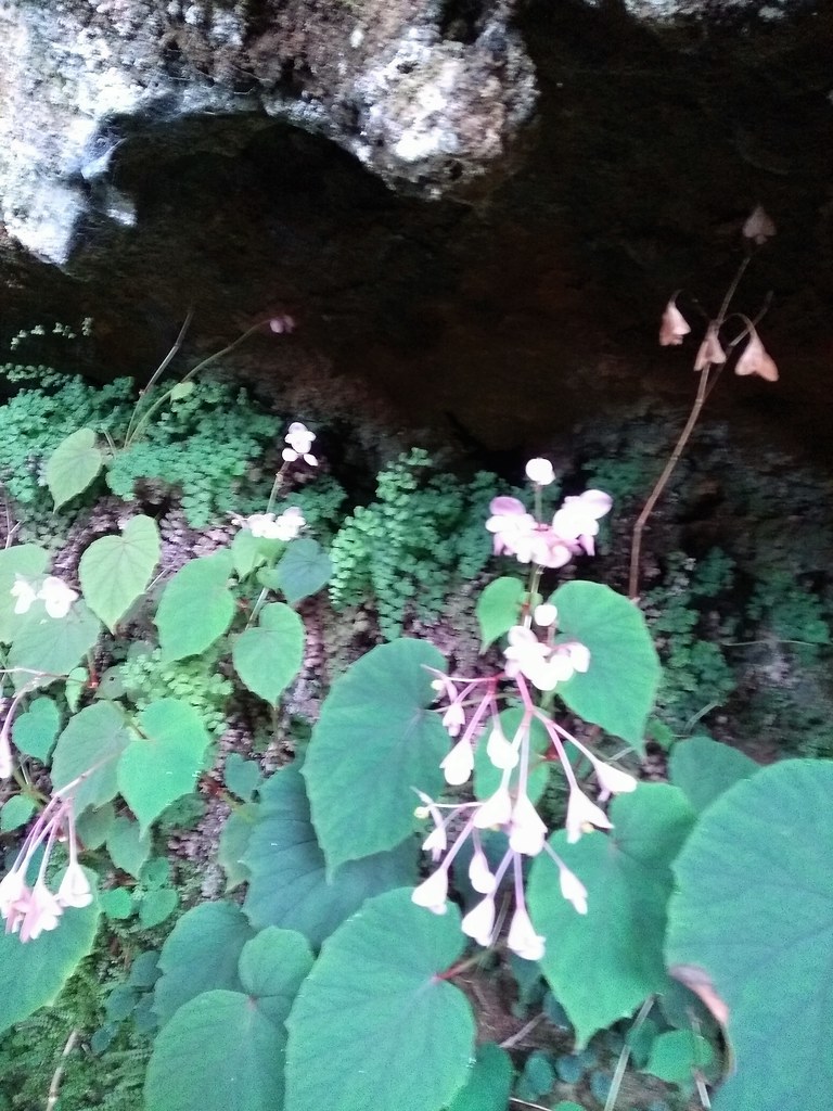
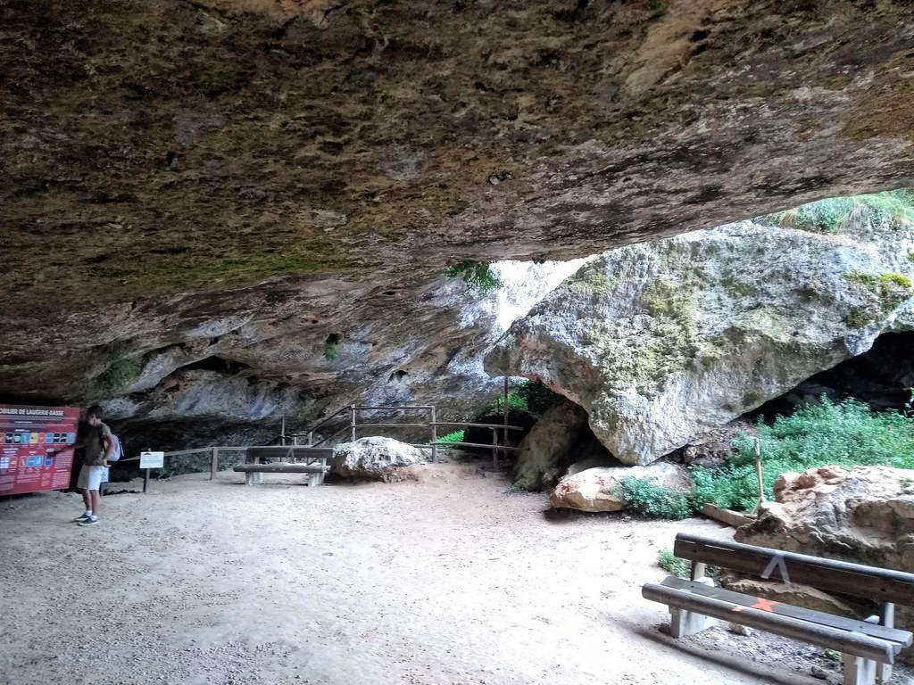
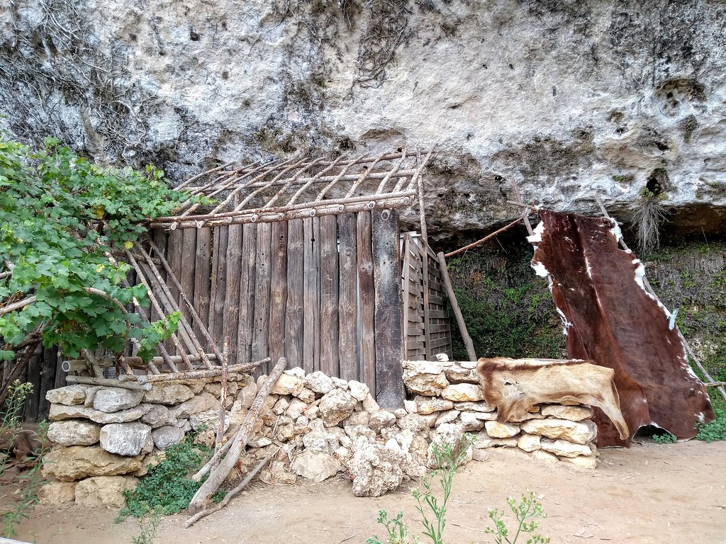
Photos Saint-Chamassy
|
See all photos of Saint-Chamassy :
Other photos of Saint-Chamassy and nearby towns can be found here: photos Saint-Chamassy
|
|
Saint-Chamassy weather forecast
Find next hours and 7 days weather forecast for Saint-Chamassy here : weather Saint-Chamassy (with english metrics)
This is the last weather forecast for Saint-Chamassy collected by the nearest observation station of Saint-Cyprien.
Week Forecast:
The latest weather data for Saint-Chamassy were collected Saturday, 05 July 2025 at 19:02 from the nearest observation station of Saint-Cyprien.
| Saturday, July 5th |
31°C 16°C
0%
39%
|
Partly cloudy
Temperature Max: 31°C Temperature Min: 16°C
Precipitation Probability: 0%
Percentage of sky occluded by clouds: 39%
Wind speed: 9 km/h South-East
Humidity: 38%° UV Index: 7
Sunrise: 06:16 Sunset: 21:44 |
|
| | Sunday, July 6th |
24°C 17°C
37%
83%
|
Drizzle
Temperature Max: 24°C Temperature Min: 17°C
Precipitation Probability: 37% (Rain)
Percentage of sky occluded by clouds: 83%
Wind speed: 10 km/h East
Humidity: 55%° UV Index: 5
Sunrise: 06:16 Sunset: 21:44 |
|
| | Monday, July 7th |
22°C 15°C
50%
69%
|
Drizzle
Temperature Max: 22°C Temperature Min: 15°C
Precipitation Probability: 50% (Rain)
Percentage of sky occluded by clouds: 69%
Wind speed: 17 km/h East
Humidity: 69%° UV Index: 6
Sunrise: 06:17 Sunset: 21:44 |
|
| | Tuesday, July 8th |
25°C 12°C
0%
14%
|
Mostly clear
Temperature Max: 25°C Temperature Min: 12°C
Precipitation Probability: 0%
Percentage of sky occluded by clouds: 14%
Wind speed: 10 km/h South-East
Humidity: 54%° UV Index: 8
Sunrise: 06:18 Sunset: 21:43 |
|
|
Attribution: 
|
|
Other maps, hotels and towns in france
Find another town, zip code, department, region, ...
Quick links Saint-Chamassy :
Make a link to this page of Saint-Chamassy with the following code :
|
|
|
 French Version : http://www.cartesfrance.fr/carte-france-ville/24388_Saint-Chamassy.html