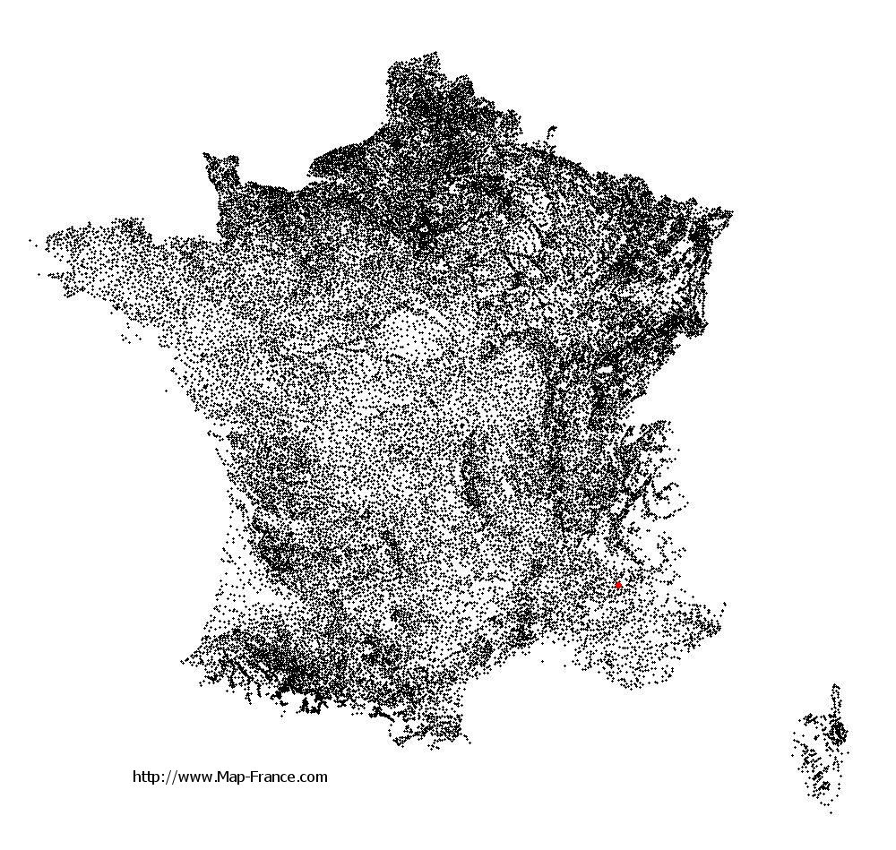
Saint-Genis on the relief France map in Lambert 93 coordinates
|

See the map of Saint-Genis in full screen (1000 x 949)
|
At left, here is the location of Saint-Genis on the relief France map in Lambert 93 coordinates.
Here are the altitudes of Saint-Genis :
- Town hall altitude of Saint-Genis is 720 meters
- Minimum altitude of Saint-Genis is 591 meters
- Maximum altitude of Saint-Genis is 1 422 meters
- Medium altitude of Saint-Genis is 1 007 meters
Here are the altitudes of Gap, prefecture of Hautes-Alpes department:
- Town hall altitude of Gap is 767 meters
- Minimum altitude of Gap is 625 meters
- Maximum altitude of Gap is 2 360 meters
- Medium altitude of Gap is 1 493 meters
Here are the altitudes of the french biggest cities:
Paris : 33 meters
Marseille : 20 meters
Lyon : 237 meters
Toulouse : 146 meters
Nice : 10 meters
Nantes : 20 meters
Strasbourg : 144 meters
Montpellier : 35 meters
Bordeaux : 16 meters
Lille : 20 meters
Rennes : 35 meters
Reims : 83 meters
Click here for the terrain map of Saint-Genis in full screen:
Relief map of Saint-Genis
|
This relief map of Saint-Genis is reusable and modifiable by making a link to this page of the Map-France.com website or by using the given code :
|
Terrain base map of Saint-Genis
|

See the terrain base map of Saint-Genis in full screen (1000 x 949)
|
Small relief base map of Saint-Genis

|
This base map of Saint-Genis is reusable and modifiable by making a link to this page of the Map-France.com website or by using the given code :
|
Map of Saint-Genis with regions and prefectures
|
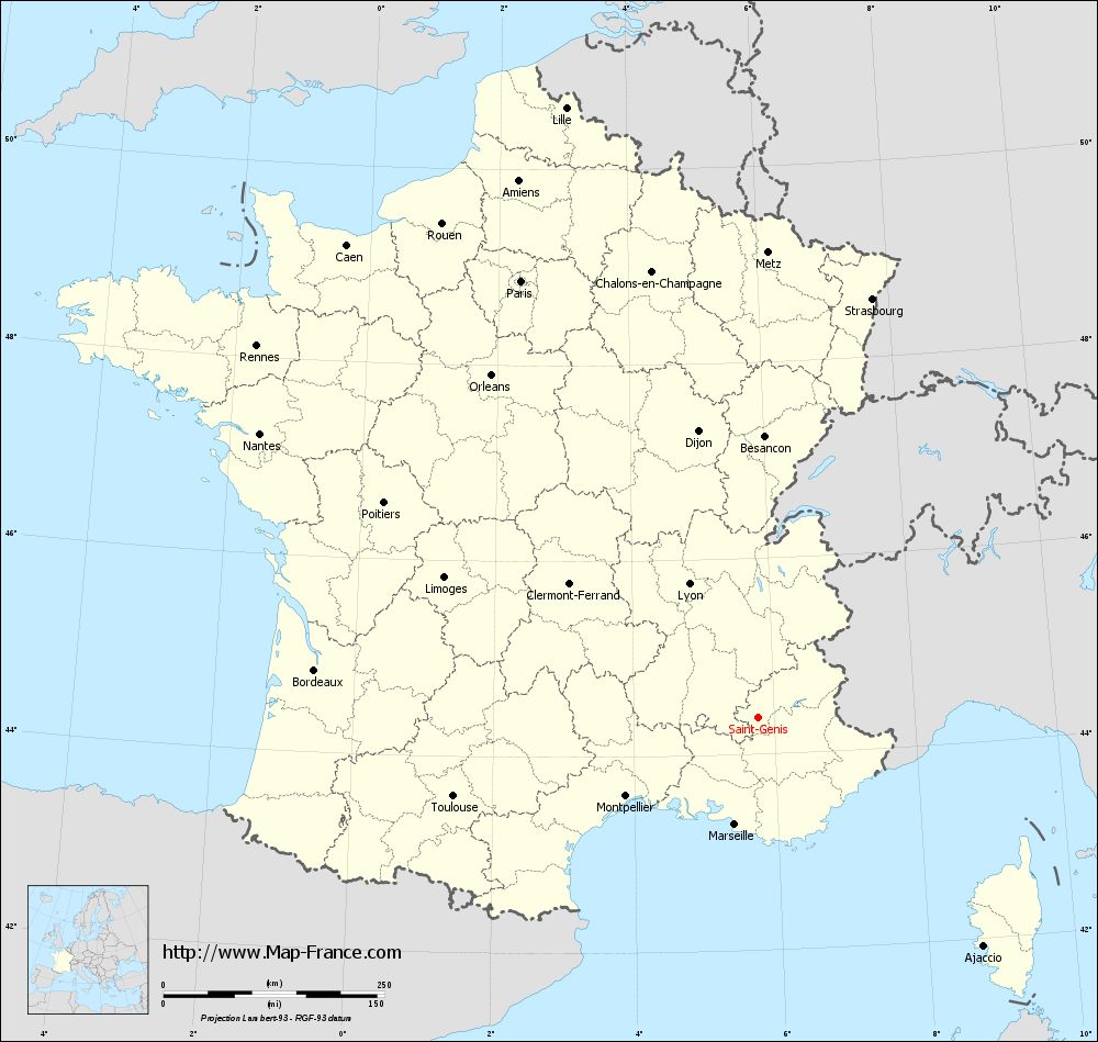
View the map of Saint-Genis in full screen (1000 x 949)
|
You will find the location of Saint-Genis on the map of France of regions in Lambert 93 coordinates. The town of Saint-Genis is located in the department of Hautes-Alpes of the french region Provence-Alpes-Côte d'Azur.
Geographical sexagesimal coordinates / GPS (WGS84):
Latitude: 44° 22' 46'' North
Longitude: 05° 46' 07'' East
Geographical decimal coordinates :
Latitude: 44.382 degrees (44.382° North)
Longitude: 5.769 degrees (5.769° East)
Lambert 93 coordinates :
X: 9 205 hectometers
Y: 63 684 hectometers
Lambert 2 coordinates :
X: 8 736 hectometers
Y: 19 369 hectometers
Below, the geographical coordinates of Gap, prefecture of the Hautes-Alpes department:
Geographical sexagesimal coordinates / GPS (WGS84):
Latitude: 44° 33' 31'' North
Longitude: 06° 04' 40'' East
Geographical decimal coordinates :
Latitude: 44.558 degrees (44.558° North)
Longitude: 6.077 degrees (6.077° East)
Lambert 93 coordinates :
X: 9 444 hectometers
Y: 63 891 hectometers
Lambert 2 coordinates :
X: 8 973 hectometers
Y: 19 579 hectometers
|
This map of Saint-Genis is reusable and modifiable by making a link to this page of the Map-France.com website or by using the given code :
|
Map of Saint-Genis with departments and prefectures
|
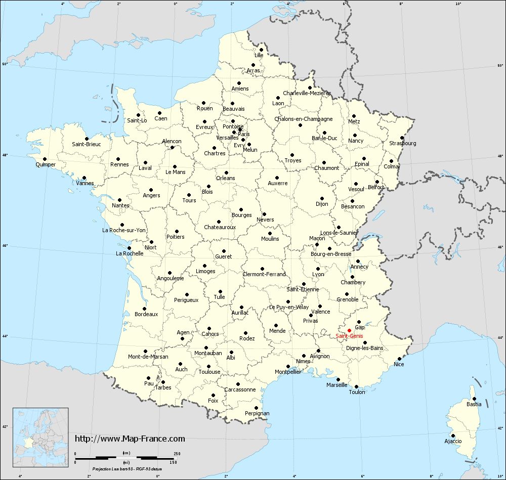
Voir la carte of Saint-Genis en grand format (1000 x 949)
|
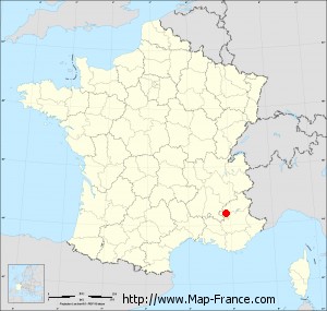
Here is the localization of Saint-Genis on the France map of departments in Lambert 93 coordinates. The city of Saint-Genis is shown on the map by a red point.
The town of Saint-Genis is located in the department of Hautes-Alpes of the french region Provence-Alpes-Côte d'Azur.
The latitude of Saint-Genis is 44.382 degrees North.
The longitude of Saint-Genis is 5.769 degrees East.
Here the distance between Saint-Genis and the biggest cities of France:
Distances are calculated as the crow flies (orthodromic distance)
Distance between Saint-Genis and Paris : 561.87 kilometers
Distance between Saint-Genis and Marseille : 124.07 kilometers
Distance between Saint-Genis and Lyon : 169.71 kilometers
Distance between Saint-Genis and Toulouse : 355.9 kilometers
Distance between Saint-Genis and Nice : 140.94 kilometers
Distance between Saint-Genis and Nantes : 648.52 kilometers
Distance between Saint-Genis and Strasbourg : 491.01 kilometers
Distance between Saint-Genis and Montpellier : 174.08 kilometers
Distance between Saint-Genis and Bordeaux : 504.22 kilometers
Distance between Saint-Genis and Lille : 723.34 kilometers
Distance between Saint-Genis and Rennes : 705.86 kilometers
Distance between Saint-Genis and Reims : 557.59 kilometers
Clic here to see the map of Saint-Genis in full screen:
Saint-Genis on the map of french departments
|
This administrative map of Saint-Genis is reusable and modifiable by making a link to this page of the Map-France.com website or by using the given code :
|
Administrative base maps of Saint-Genis
|
See the administrative base map of Saint-Genis in full screen (1000 x 949)
|
Small administrative base map of Saint-Genis
|
This base map administrative of Saint-Genis is reusable and modifiable by making a link to this page of the Map-France.com website or by using the given code :
|
 French Version : http://www.cartesfrance.fr