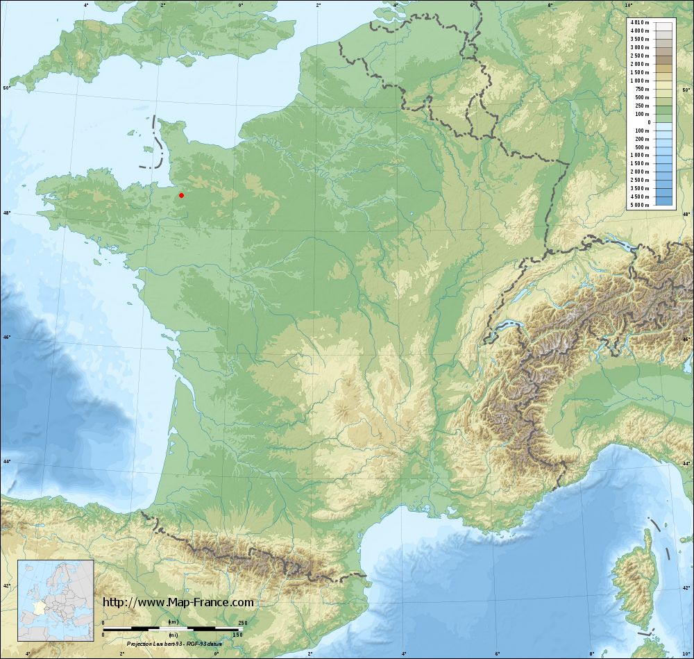
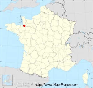
Saint-Georges-de-Reintembault on the relief France map in Lambert 93 coordinates
|

See the map of Saint-Georges-de-Reintembault in full screen (1000 x 949)
|
At left, here is the location of Saint-Georges-de-Reintembault on the relief France map in Lambert 93 coordinates.
Here are the altitudes of Saint-Georges-de-Reintembault :
- Town hall altitude of Saint-Georges-de-Reintembault is 135 meters
- Minimum altitude of Saint-Georges-de-Reintembault is 94 meters
- Maximum altitude of Saint-Georges-de-Reintembault is 180 meters
- Medium altitude of Saint-Georges-de-Reintembault is 137 meters
Here are the altitudes of Rennes, prefecture of Ille-et-Vilaine department:
- Town hall altitude of Rennes is 35 meters
- Minimum altitude of Rennes is 20 meters
- Maximum altitude of Rennes is 74 meters
- Medium altitude of Rennes is 47 meters
Here are the altitudes of the french biggest cities:
Paris : 33 meters
Marseille : 20 meters
Lyon : 237 meters
Toulouse : 146 meters
Nice : 10 meters
Nantes : 20 meters
Strasbourg : 144 meters
Montpellier : 35 meters
Bordeaux : 16 meters
Lille : 20 meters
Rennes : 35 meters
Reims : 83 meters
Click here for the terrain map of Saint-Georges-de-Reintembault in full screen:
Relief map of Saint-Georges-de-Reintembault
|
This relief map of Saint-Georges-de-Reintembault is reusable and modifiable by making a link to this page of the Map-France.com website or by using the given code :
|
Terrain base map of Saint-Georges-de-Reintembault
|
See the terrain base map of Saint-Georges-de-Reintembault in full screen (1000 x 949)
|
Small relief base map of Saint-Georges-de-Reintembault
|
This base map of Saint-Georges-de-Reintembault is reusable and modifiable by making a link to this page of the Map-France.com website or by using the given code :
|
Map of Saint-Georges-de-Reintembault with regions and prefectures
|
View the map of Saint-Georges-de-Reintembault in full screen (1000 x 949)
|
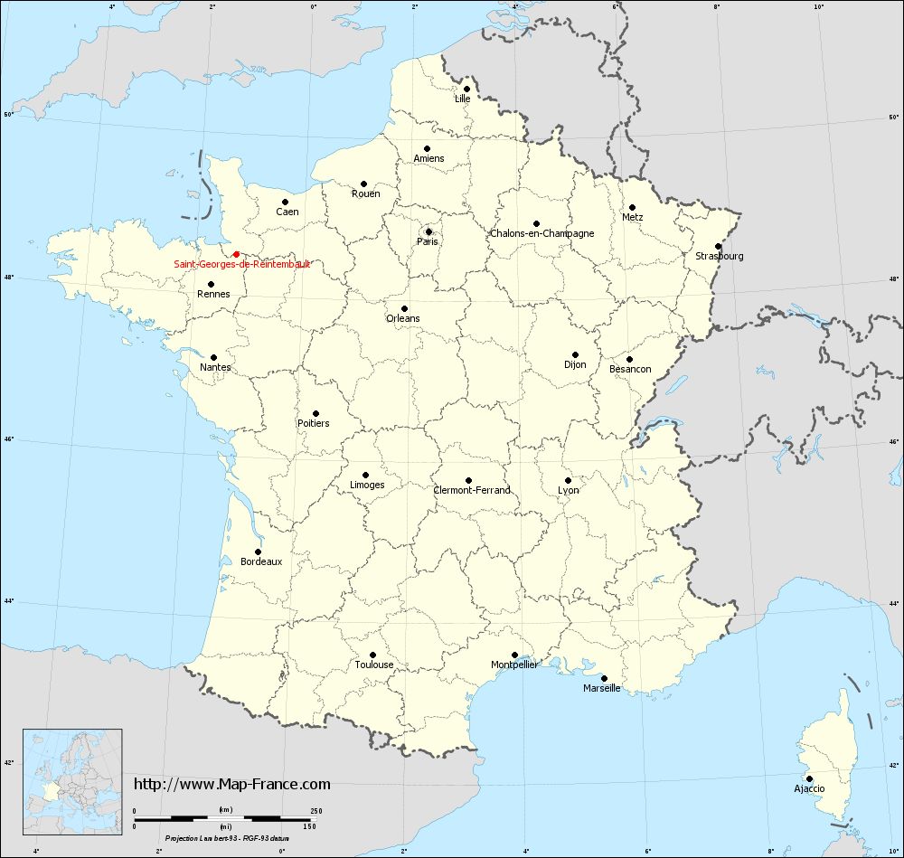
You will find the location of Saint-Georges-de-Reintembault on the map of France of regions in Lambert 93 coordinates. The town of Saint-Georges-de-Reintembault is located in the department of Ille-et-Vilaine of the french region Bretagne.
Geographical sexagesimal coordinates / GPS (WGS84):
Latitude: 48° 30' 30'' North
Longitude: 01° 14' 36'' West
Geographical decimal coordinates :
Latitude: 48.509 degrees (48.509° North)
Longitude: -1.242 degrees (1.242° West)
Lambert 93 coordinates :
X: 3 867 hectometers
Y: 68 315 hectometers
Lambert 2 coordinates :
X: 3 355 hectometers
Y: 23 960 hectometers
Below, the geographical coordinates of Rennes, prefecture of the Ille-et-Vilaine department:
Geographical sexagesimal coordinates / GPS (WGS84):
Latitude: 48° 06' 51'' North
Longitude: 01° 40' 51'' West
Geographical decimal coordinates :
Latitude: 48.108 degrees (48.108° North)
Longitude: -1.68 degrees (1.68° West)
Lambert 93 coordinates :
X: 3 519 hectometers
Y: 67 896 hectometers
Lambert 2 coordinates :
X: 3 010 hectometers
Y: 23 538 hectometers
|
This map of Saint-Georges-de-Reintembault is reusable and modifiable by making a link to this page of the Map-France.com website or by using the given code :
|
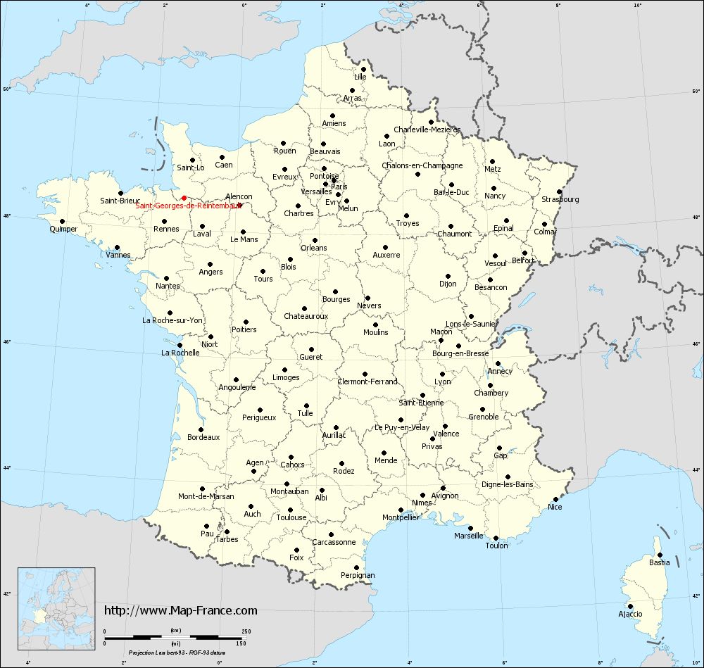
Map of Saint-Georges-de-Reintembault with departments and prefectures
|
Voir la carte of Saint-Georges-de-Reintembault en grand format (1000 x 949)
|
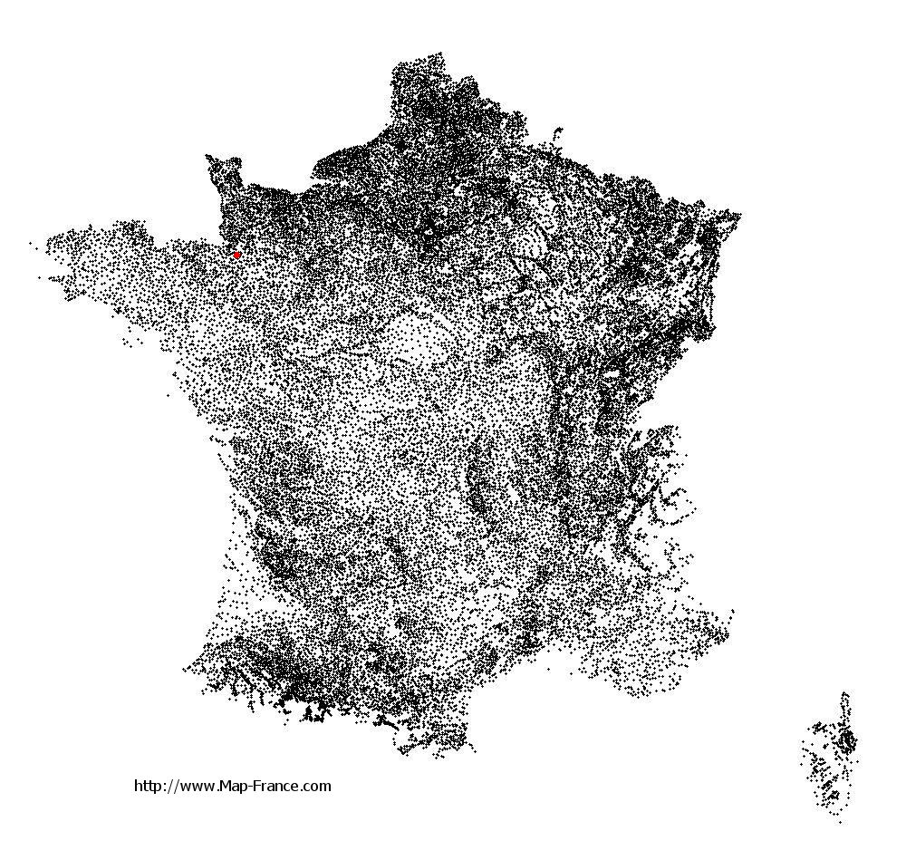
Here is the localization of Saint-Georges-de-Reintembault on the France map of departments in Lambert 93 coordinates. The city of Saint-Georges-de-Reintembault is shown on the map by a red point.
The town of Saint-Georges-de-Reintembault is located in the department of Ille-et-Vilaine of the french region Bretagne.
The latitude of Saint-Georges-de-Reintembault is 48.509 degrees North.
The longitude of Saint-Georges-de-Reintembault is 1.242 degrees West.
Here the distance between Saint-Georges-de-Reintembault and the biggest cities of France:
Distances are calculated as the crow flies (orthodromic distance)
Distance between Saint-Georges-de-Reintembault and Paris : 266.03 kilometers
Distance between Saint-Georges-de-Reintembault and Marseille : 773.34 kilometers
Distance between Saint-Georges-de-Reintembault and Lyon : 551.35 kilometers
Distance between Saint-Georges-de-Reintembault and Toulouse : 583.51 kilometers
Distance between Saint-Georges-de-Reintembault and Nice : 844.07 kilometers
Distance between Saint-Georges-de-Reintembault and Nantes : 145.2 kilometers
Distance between Saint-Georges-de-Reintembault and Strasbourg : 661.49 kilometers
Distance between Saint-Georges-de-Reintembault and Montpellier : 671.98 kilometers
Distance between Saint-Georges-de-Reintembault and Bordeaux : 410.48 kilometers
Distance between Saint-Georges-de-Reintembault and Lille : 388.27 kilometers
Distance between Saint-Georges-de-Reintembault and Rennes : 55.11 kilometers
Distance between Saint-Georges-de-Reintembault and Reims : 394.08 kilometers
Clic here to see the map of Saint-Georges-de-Reintembault in full screen:
Saint-Georges-de-Reintembault on the map of french departments
|
This administrative map of Saint-Georges-de-Reintembault is reusable and modifiable by making a link to this page of the Map-France.com website or by using the given code :
|
Administrative base maps of Saint-Georges-de-Reintembault
|

See the administrative base map of Saint-Georges-de-Reintembault in full screen (1000 x 949)
|
Small administrative base map of Saint-Georges-de-Reintembault
|
This base map administrative of Saint-Georges-de-Reintembault is reusable and modifiable by making a link to this page of the Map-France.com website or by using the given code :
|
 French Version : http://www.cartesfrance.fr