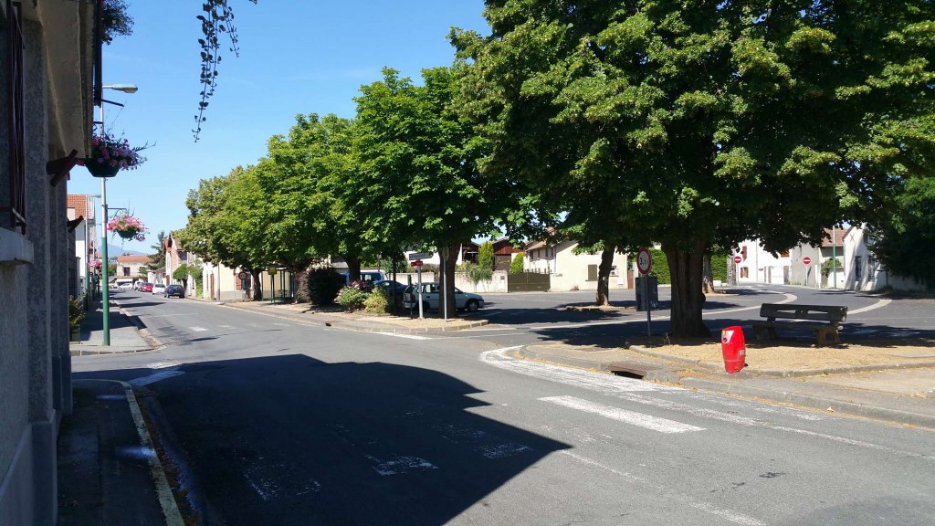
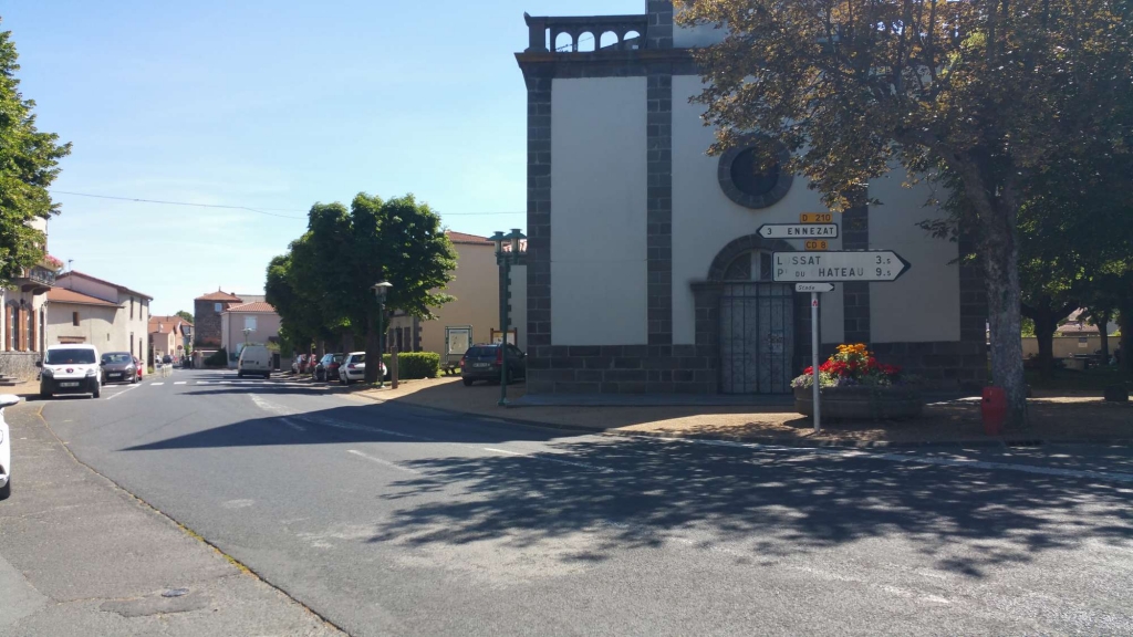
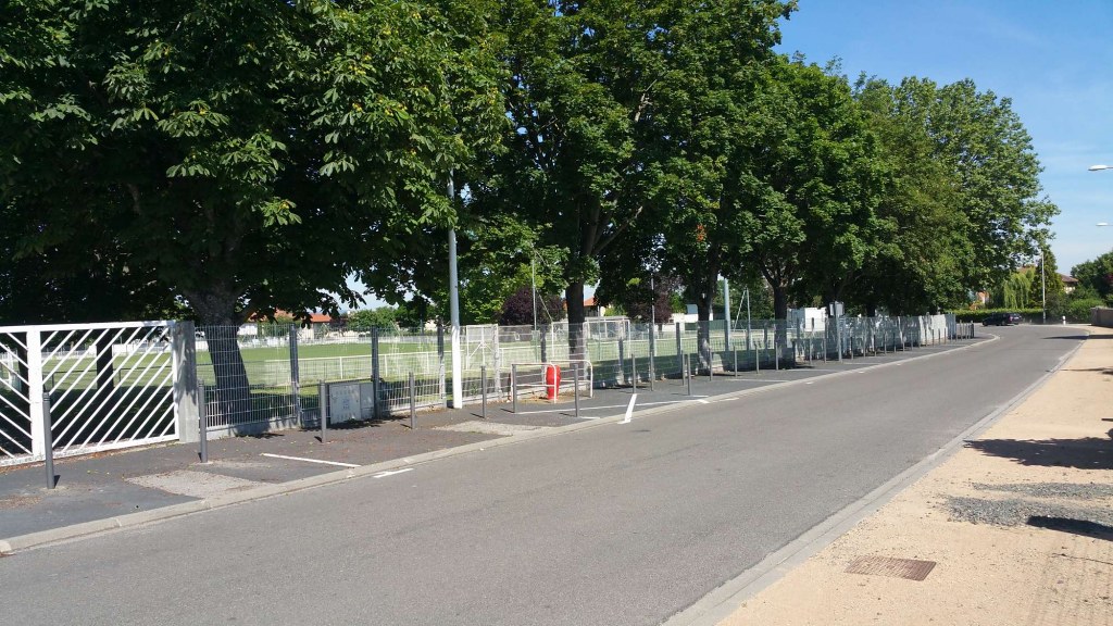
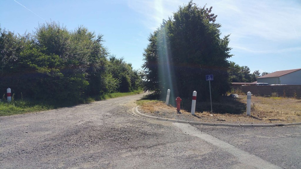
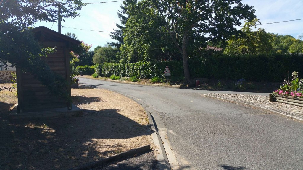
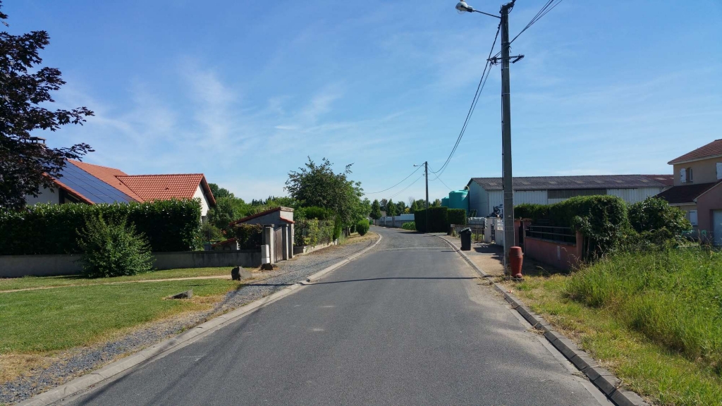
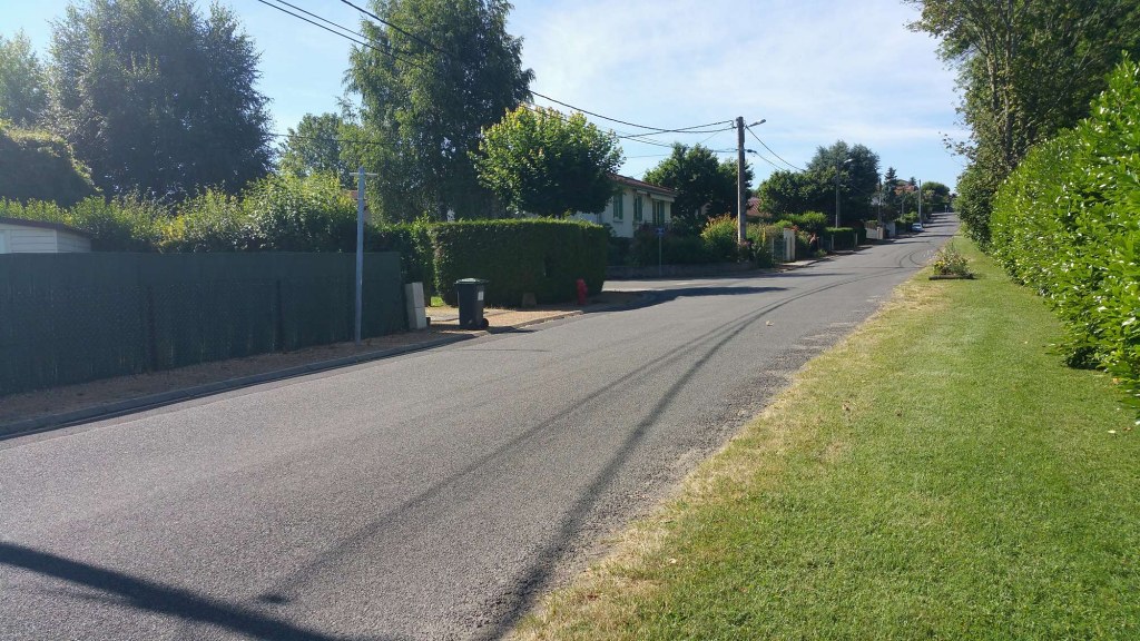
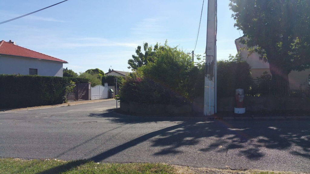
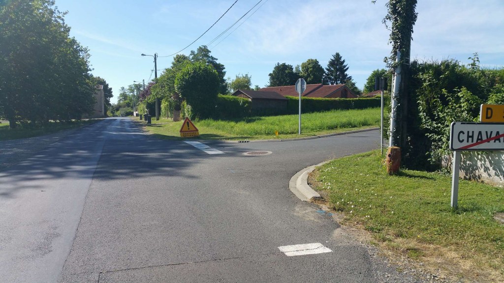
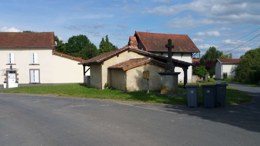
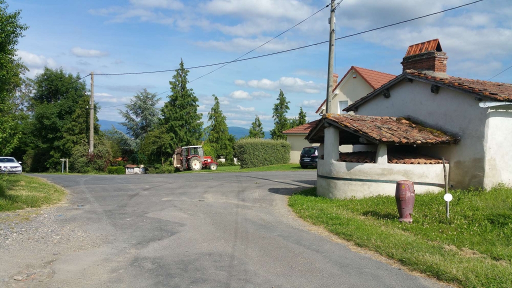
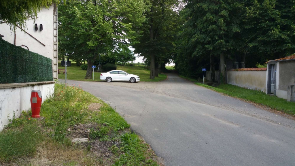
Map of France

Saint-Ignat photos


Find a town, a zip code,
a department, a region... in France
I like Map-France.com !


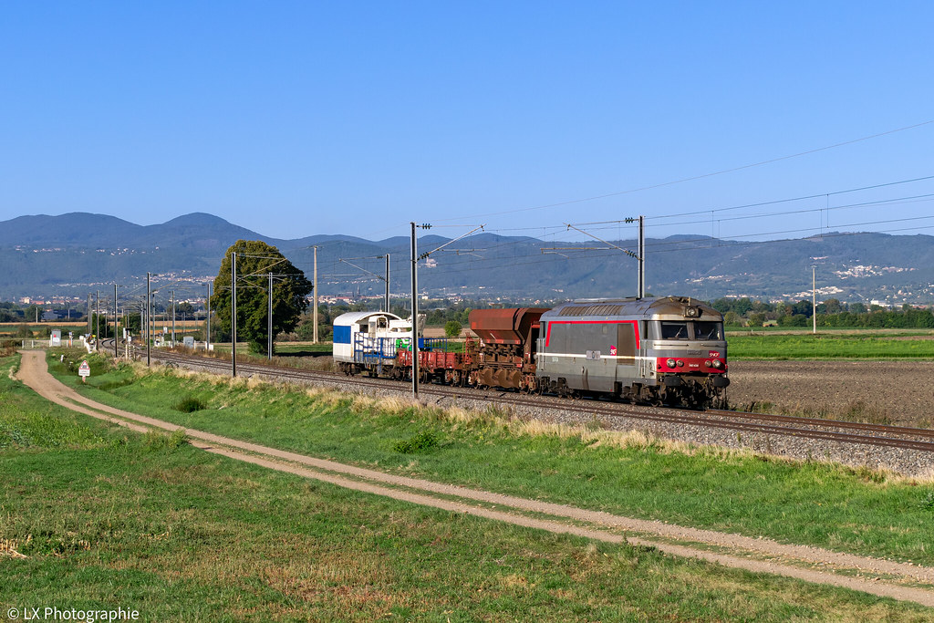
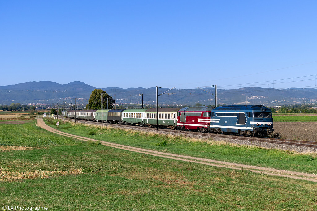
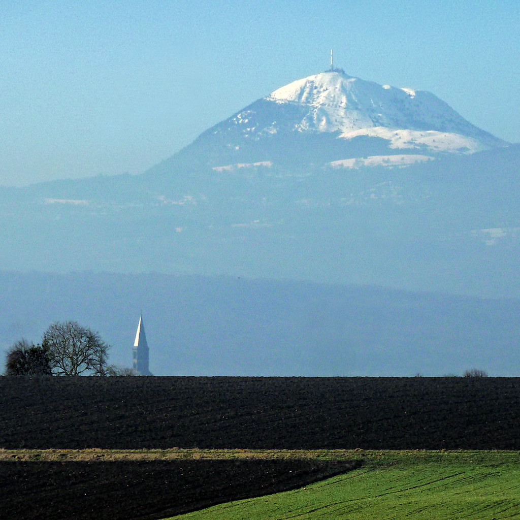
Saint-Ignat pictures


Here are the photos of the town of Saint-Ignat and nearby towns. Saint-Ignat is located in the department of Puy-de-Dôme in the region of Auvergne. You will find the satellite map of Saint-Ignat under these photos.

To see photos of nearby towns of Saint-Ignat, you can try the following links :
   - Photo of Surat (63720) : town located at 2.17 km
   - Photo of Saint-Laure (63350) : town located at 2.73 km
   - Photo of Entraigues (63720) : town located at 3.87 km
   - Photo of Martres-sur-Morge (63720) : town located at 4.26 km
   - Photo of Maringues (63350) : town located at 4.26 km
   - Photo of Ennezat (63720) : town located at 4.57 km
   - Photo of Thuret (63260) : town located at 5.24 km
   - Photo of Saint-André-le-Coq (63310) : town located at 5.27 km
   - Photo of Sardon (63260) : town located at 5.82 km
   - Photo of Clerlande (63720) : town located at 6.19 km
   - Photo of Saint-Denis-Combarnazat (63310) : town located at 6.60 km
   - Photo of Varennes-sur-Morge (63720) : town located at 6.90 km

 - photos of the department prefecture of Puy-de-Dôme : photos of Clermont-Ferrand
 - pictures of others cities of Puy-de-Dôme : Puy-de-Dôme


To see Saint-Ignat from the sky, here is the satellite map of the town of Saint-Ignat : Saint-Ignat map.

I like Saint-Ignat !


Photos of the town of Saint-Ignat

These photos taken near the town of Saint-Ignat can be shown in full screen clicking on the thumbnails. Photos are copyrighted by their owners.

BB 67434 - 807400 Clermont-Ferrand > St-Pierre-des-Corps - Photo of Saint-Ignat
BB 67434 - 807400 Clermont-Ferrand > St-Pierre-des-Corps

BB 67615 + BB 67613 - 756058 Clermont-Ferrand > Les Aubrais - Photo of Saint-Ignat
BB 67615 + BB 67613 - 756058 Clermont-Ferrand > Les Aubrais

Le Puy de Dôme, volcan d-Auvergne - Photo of Saint-Ignat
Le Puy de Dôme, volcan d-Auvergne

200704_0254 - Photo of Saint-Ignat
200704_0254

IMG_20180220_151525[1] - Photo of Saint-Ignat
IMG_20180220_151525[1]

IMG_0058[1] - Photo of Saint-Ignat
IMG_0058[1]

Fire-fighting facility P63089.0011 - Photo of Saint-Ignat
Fire-fighting facility P63089.0011

Fire-fighting facility P63089.0010 - Photo of Saint-Ignat
Fire-fighting facility P63089.0010

Fire-fighting facility P63089.0013 - Photo of Saint-Ignat
Fire-fighting facility P63089.0013

Fire-fighting facility P63089.0001 - Photo of Saint-Ignat
Fire-fighting facility P63089.0001

Fire-fighting facility P63089.0016 - Photo of Saint-Ignat
Fire-fighting facility P63089.0016

Fire-fighting facility P63107.0009 - Photo of Saint-Ignat
Fire-fighting facility P63107.0009

Fire-fighting facility P63107.0005 - Photo of Saint-Ignat
Fire-fighting facility P63107.0005

Fire-fighting facility P63107.0008 - Photo of Saint-Ignat
Fire-fighting facility P63107.0008


Saint-Ignat from the sky


Old photos of the town of Saint-Ignat

These photos taken near the town of Saint-Ignat can be shown in full screen clicking on the thumbnails. Photos are copyrighted by their owners.


Other maps, hotels and towns in france


Find another town, zip code, department, region, ...


Quick links Saint-Ignat :


Back to the menus Map of France :


Make a link to this page of Saint-Ignat with the following code :


Map of France | Regions | Departments | Cities | Partners | Terms | Contact