Map of France

Saint-Inglevert photos


Find a town, a zip code,
a department, a region... in France
I like Map-France.com !


Saint-Inglevert pictures


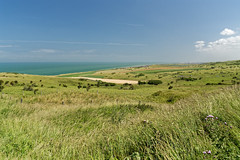
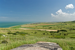
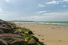
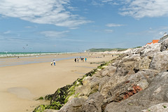
Here are the photos of the town of Saint-Inglevert and nearby towns. Saint-Inglevert is located in the department of Pas-de-Calais in the region of Nord-Pas-de-Calais. You will find the satellite map of Saint-Inglevert under these photos.

To see photos of nearby towns of Saint-Inglevert, you can try the following links :
   - Photo of Hervelinghen (62179) : town located at 2.25 km
   - Photo of Leubringhen (62250) : town located at 2.44 km
   - Photo of Bonningues-lès-Calais (62340) : town located at 2.81 km
   - Photo of Pihen-lès-Guînes (62340) : town located at 3.32 km
   - Photo of Audembert (62250) : town located at 3.73 km
   - Photo of Landrethun-le-Nord (62250) : town located at 4.35 km
   - Photo of Peuplingues (62231) : town located at 4.92 km
   - Photo of Escalles (62179) : town located at 5.13 km
   - Photo of Leulinghen-Bernes (62250) : town located at 5.21 km
   - Photo of Ferques (62250) : town located at 5.36 km
   - Photo of Wissant (62179) : town located at 5.55 km
   - Photo of Caffiers (62132) : town located at 6.50 km

 - photos of the department prefecture of Pas-de-Calais : photos of Arras
 - pictures of others cities of Pas-de-Calais : Pas-de-Calais


To see Saint-Inglevert from the sky, here is the satellite map of the town of Saint-Inglevert : Saint-Inglevert map.

I like Saint-Inglevert !


Photos of the town of Saint-Inglevert

These photos taken near the town of Saint-Inglevert can be shown in full screen clicking on the thumbnails. Photos are copyrighted by their owners.

Blériot-les digues 18-05-2019 (16) - Photo of Saint-Inglevert
Blériot-les digues 18-05-2019 (16)

Blériot-les digues 18-05-2019 (17) - Photo of Saint-Inglevert
Blériot-les digues 18-05-2019 (17)

Dunes de Fort Mahon (Eden62) - Photo of Saint-Inglevert
Dunes de Fort Mahon (Eden62)

Blanc Nez et falaises de Douvres - Photo of Saint-Inglevert
Blanc Nez et falaises de Douvres

Baie de Wimereux et cap Gris-Nez - Photo of Saint-Inglevert
Baie de Wimereux et cap Gris-Nez

Cap Blanc Nez et falaises de Douvres - Photo of Saint-Inglevert
Cap Blanc Nez et falaises de Douvres

Cran d’Escalles - Photo of Saint-Inglevert
Cran d’Escalles

Cran d’Ecalles - Photo of Saint-Inglevert
Cran d’Ecalles

Blanc Nez et falaises de Douvres - Photo of Saint-Inglevert
Blanc Nez et falaises de Douvres

2022 10 Blanc Nez 4 - Photo of Saint-Inglevert
2022 10 Blanc Nez 4

L1000112-Escalles-Joris Louwes - Photo of Saint-Inglevert
L1000112-Escalles-Joris Louwes

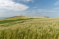
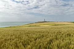
Wheat Field-Escalles - Photo of Saint-Inglevert
Wheat Field-Escalles

L-église Saint-Martin de (XVIe siècle). Tardinghen - Photo of Saint-Inglevert
L-église Saint-Martin de (XVIe siècle). Tardinghen

Tardinghen - Paysage vu de la route du Châtelet - Photo of Saint-Inglevert
Tardinghen - Paysage vu de la route du Châtelet


Saint-Inglevert from the sky


Old photos of the town of Saint-Inglevert

These photos taken near the town of Saint-Inglevert can be shown in full screen clicking on the thumbnails. Photos are copyrighted by their owners.


Other maps, hotels and towns in france


Find another town, zip code, department, region, ...


Quick links Saint-Inglevert :


Back to the menus Map of France :


Make a link to this page of Saint-Inglevert with the following code :


Map of France | Regions | Departments | Cities | Partners | Terms | Contact