|
The village of Saint-Jores is a small village located north west of France. The town of Saint-Jores is located in the department of Manche of the french region Basse-Normandie. The town of Saint-Jores is located in the township of Périers part of the district of Coutances. The area code for Saint-Jores is 50497 (also known as code INSEE), and the Saint-Jores zip code is 50250.
Geography and map of Saint-Jores :
The altitude of the city hall of Saint-Jores is approximately 38 meters. The Saint-Jores surface is 12.73 km ². The latitude and longitude of Saint-Jores are 49.304 degrees North and 1.422 degrees West.
Nearby cities and towns of Saint-Jores are :
Prétot-Sainte-Suzanne (50250) at 2.20 km, Coigny (50250) at 3.58 km, Vindefontaine (50250) at 3.59 km, Le Plessis-Lastelle (50250) at 4.25 km, Lithaire (50250) at 4.44 km, Baupte (50500) at 4.62 km, Cretteville (50250) at 5.31 km, Gorges (50190) at 5.33 km.
(The distances to these nearby towns of Saint-Jores are calculated as the crow flies)
Population and housing of Saint-Jores :
The population of Saint-Jores was 462 in 1999, 379 in 2006 and 367 in 2007. The population density of Saint-Jores is 28.83 inhabitants per km². The number of housing of Saint-Jores was 190 in 2007. These homes of Saint-Jores consist of 153 main residences, 24 second or occasional homes and 13 vacant homes. |
|
|
Hotel Saint-Jores
|
|
|
Book now ! Best Price Guaranteed, no booking fees, pay at the hotel with our partner Booking.com, leader in online hotel reservation.
Find all hotels of Saint-Jores : Hotel Saint-Jores
| |
|
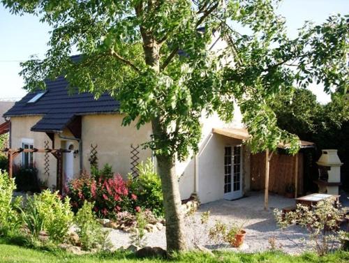
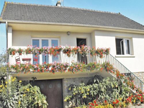
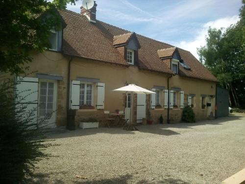
Guest accommodation : Viefacile Holiday Gite
Located in the countryside of Lithaire, Viefacile Holiday Gite offers a heated, outdoor swimming pool, children’s play area and a patio with BBQ facilities. The D-Day Landing Be...
Address : 24 Route de Carrentan, Le Fry 50250 Lithaire
Distance Guest accommodation - Saint-Jores : 3.39 km
|
|
|
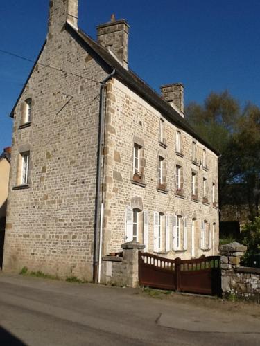
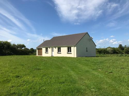
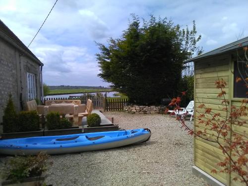
Guest accommodation : Le Bourg
Boasting free bikes, Le Bourg features accommodation in Vindefontaine with access to free WiFi and garden views. Housed in a building dating from 19th century, the holiday home ...
Contact : 11 Rue de la Salette 50250 Vindefontaine
Distance Guest accommodation - Saint-Jores : 3.82 km
|
|
|
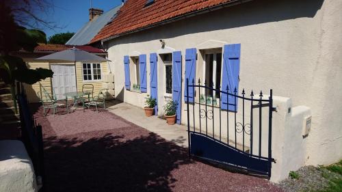
Guest accommodation : Sainte-Anne Holiday Cottage
Situated in Gorges, this pet-friendly holiday home features a patio and a garden. The property is 49 km from Bayeux and free private parking is provided. There is a seating are...
Contact : 52b Rue Sainte-Anne 50190 Gorges
Distance Guest accommodation - Saint-Jores : 5.04 km
|
|
|
Guest accommodation : Les Peupliers
Offering free WiFi and garden views, Les Peupliers is an accommodation located in Vesly. This holiday home features barbecue facilities as well as a garden. This holiday home c...
Contact : Gerville la Forêt 7 La grande maison 50430 Vesly
Distance Guest accommodation - Saint-Jores : 6.06 km
|
|
|
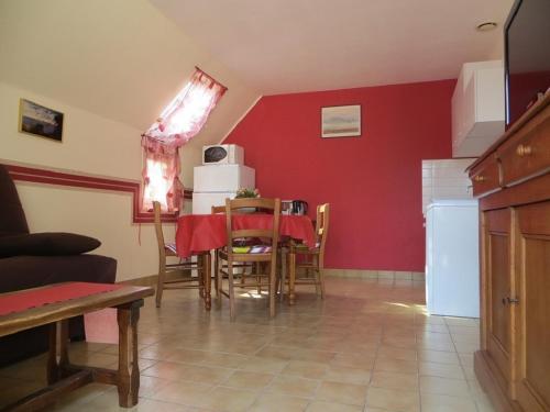
Guest accommodation : Holiday home Route de la haye du puits

Holiday home Route de la haye du puits is located in Lithaire. Guests staying at this holiday home have access to a fully equipped kitchen. The holiday home comes with a TV and...
Address : 50250 Lithaire
Distance Guest accommodation - Saint-Jores : 6.30 km
|
|
|
Guest accommodation : Peaceful Holiday Home & Tranquil Weekend Getaway - Relax and Regenerate Today

Peaceful Holiday Home & Tranquil Weekend Getaway - Relax and Regenerate Today is set in Varenguebec and offers free bikes, barbecue facilities and a garden. Guests staying at th...
Contact : 1 La Lucasserie 50250 Varenguebec
Distance Guest accommodation - Saint-Jores : 6.79 km
|
|
|
Guest accommodation : Gîte Marguerite
Gîte Marguerite is a holiday home set in Les Moitiers-en-Bauptois, 33 km from Cherbourg. The property is a 21-minute drive from Marais du Cotentin Natural Regional Park and a 14...
Contact : 26 Route de Longuerac 50360 Les Moitiers-en-Bauptois
Distance Guest accommodation - Saint-Jores : 7.02 km
|
|
|
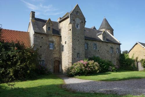
Guest accommodation : Manoir de la Guerrie
Manoir de la Guerrie is a holiday home situated in Périers in the Lower Normandy Region and is 46 km from Granville. You can fire up the barbecue for a tasty meal and enjoy the ...
Contact : St Patrice-de-Claids Manoir de la Guerrie 50190 Périers
Distance Guest accommodation - Saint-Jores : 7.98 km
|
|
|
Bed and Breakfast : La Marquetterie
Offering a barbecue and views of the garden, La Marquetterie is set in Nay in the Lower Normandy Region, 49 km from Bayeux. Free WiFi is featured throughout the property and fre...
Address : NAY La Marquetterie 50190 Nay
Distance Bed and Breakfast - Saint-Jores : 8.34 km
|
|
|
Guest accommodation : Gite Les Marais de la Douve
Featuring free bikes, Gite Les Marais de la Douve provides accommodation in Liesville-sur-Douve with free WiFi and river views. Guests benefit from a terrace and a barbecue. Th...
Contact : 11 rue de l'eglise 50480 Liesville-sur-Douve
Distance Guest accommodation - Saint-Jores : 8.40 km
|
|
Find another hotel near Saint-Jores : Saint-Jores hotels list
|
Map of Saint-Jores
|
|
Map of Saint-Jores :
At right you can find the localization of Saint-Jores on the map of France. Below, this is the satellite map of Saint-Jores. A road map, and maps templates of Saint-Jores are available here : "road map of Saint-Jores". This map show Saint-Jores seen by the satellite of Google Map. To see the streets of Saint-Jores or move on another zone, use the buttons "zoom" and "map" on top of this dynamic map.
Search on the map of Saint-Jores :
To search hotels, housings, tourist information office, administrations or other services, use the Google search integrated to the map on the following page : "map Saint-Jores".
Hotels of Saint-Jores are listed on the map with the following icons: 
The map of Saint-Jores is centred in the following coordinates :
|

|
|
|
|
Print the map of Saint-Jores

Print the map of Saint-Jores : map of Saint-Jores
|
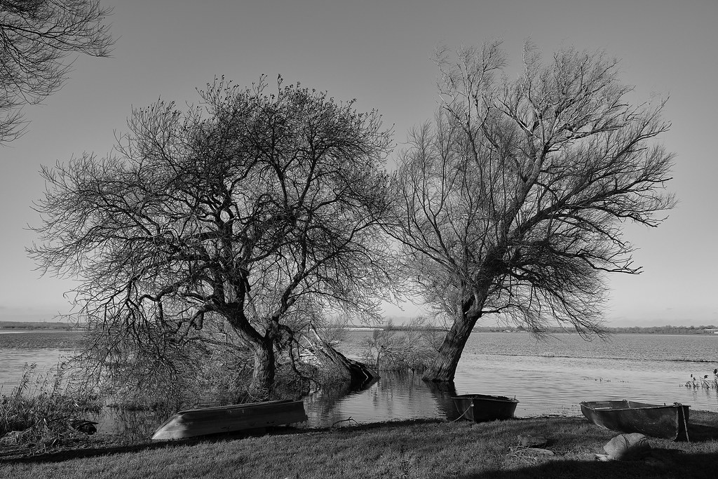
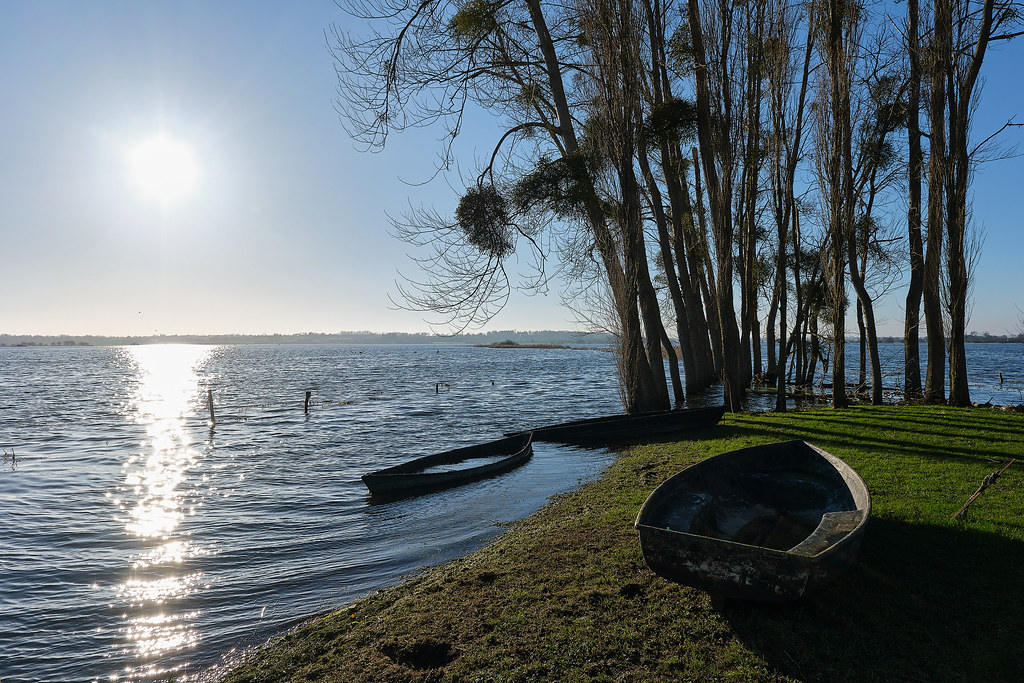
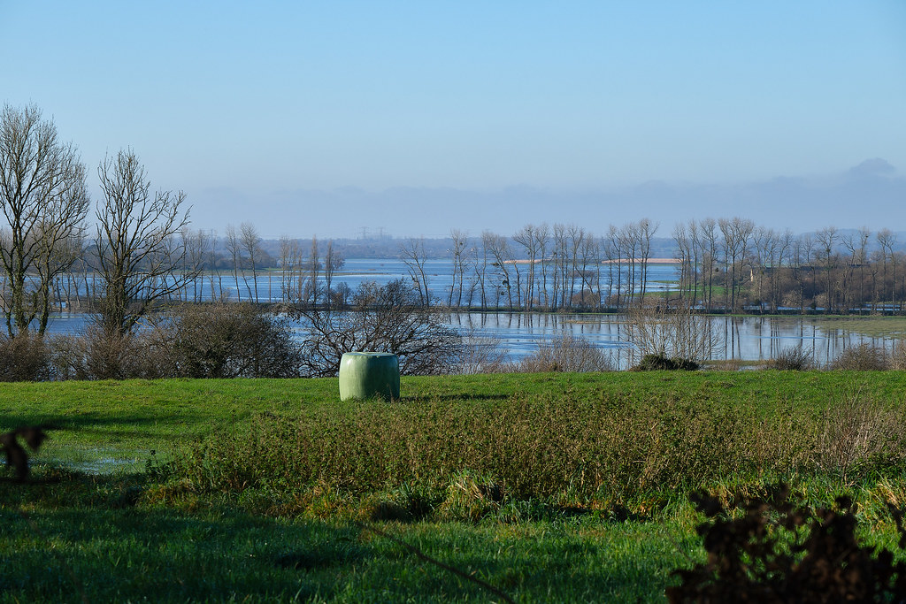
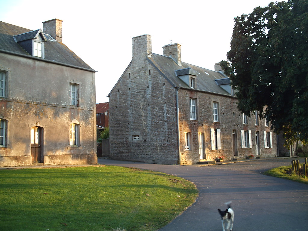
Photos Saint-Jores
|
See all photos of Saint-Jores :
Other photos of Saint-Jores and nearby towns can be found here: photos Saint-Jores
|
|
Saint-Jores weather forecast
Find next hours and 7 days weather forecast for Saint-Jores here : weather Saint-Jores (with english metrics)
This is the last weather forecast for Saint-Jores collected by the nearest observation station of Périers.
Week Forecast:
The latest weather data for Saint-Jores were collected Monday, 30 June 2025 at 19:04 from the nearest observation station of Périers.
| Monday, June 30th |
33°C 16°C
0%
16%
|
Mostly clear
Temperature Max: 33°C Temperature Min: 16°C
Precipitation Probability: 0%
Percentage of sky occluded by clouds: 16%
Wind speed: 7 km/h West
Humidity: 62%° UV Index: 8
Sunrise: 06:04 Sunset: 22:14 |
|
| | Tuesday, July 1st |
26°C 17°C
0%
66%
|
Mostly cloudy
Temperature Max: 26°C Temperature Min: 17°C
Precipitation Probability: 0%
Percentage of sky occluded by clouds: 66%
Wind speed: 12 km/h East
Humidity: 75%° UV Index: 6
Sunrise: 06:04 Sunset: 22:14 |
|
| | Wednesday, July 2nd |
23°C 16°C
51%
82%
|
Mostly cloudy
Temperature Max: 23°C Temperature Min: 16°C
Precipitation Probability: 51% (Rain)
Percentage of sky occluded by clouds: 82%
Wind speed: 17 km/h South-East
Humidity: 68%° UV Index: 5
Sunrise: 06:05 Sunset: 22:13 |
|
| | Thursday, July 3rd |
23°C 13°C
0%
34%
|
Mostly clear
Temperature Max: 23°C Temperature Min: 13°C
Precipitation Probability: 0%
Percentage of sky occluded by clouds: 34%
Wind speed: 16 km/h Sout-East
Humidity: 59%° UV Index: 6
Sunrise: 06:06 Sunset: 22:13 |
|
|
Attribution: 
|
|
Other maps, hotels and towns in france
Find another town, zip code, department, region, ...
Quick links Saint-Jores :
Make a link to this page of Saint-Jores with the following code :
|
|
|
 French Version : http://www.cartesfrance.fr/carte-france-ville/50497_Saint-Jores.html