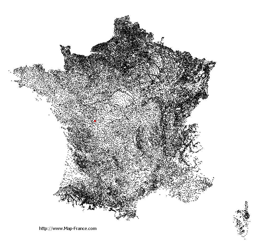
Saint-Julien-l'Ars on the relief France map in Lambert 93 coordinates
|

See the map of Saint-Julien-l'Ars in full screen (1000 x 949)
|
At left, here is the location of Saint-Julien-l'Ars on the relief France map in Lambert 93 coordinates.
Here are the altitudes of Saint-Julien-l'Ars :
- Town hall altitude of Saint-Julien-l'Ars is 110 meters
- Minimum altitude of Saint-Julien-l'Ars is 104 meters
- Maximum altitude of Saint-Julien-l'Ars is 130 meters
- Medium altitude of Saint-Julien-l'Ars is 117 meters
Here are the altitudes of Poitiers, prefecture of Vienne department:
- Town hall altitude of Poitiers is 116 meters
- Minimum altitude of Poitiers is 65 meters
- Maximum altitude of Poitiers is 144 meters
- Medium altitude of Poitiers is 105 meters
Here are the altitudes of the french biggest cities:
Paris : 33 meters
Marseille : 20 meters
Lyon : 237 meters
Toulouse : 146 meters
Nice : 10 meters
Nantes : 20 meters
Strasbourg : 144 meters
Montpellier : 35 meters
Bordeaux : 16 meters
Lille : 20 meters
Rennes : 35 meters
Reims : 83 meters
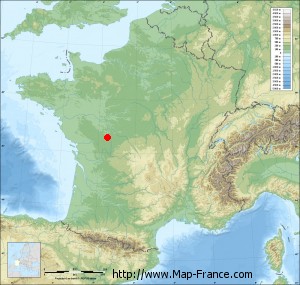
Click here for the terrain map of Saint-Julien-l'Ars in full screen:
Relief map of Saint-Julien-l%27Ars
|
This relief map of Saint-Julien-l'Ars is reusable and modifiable by making a link to this page of the Map-France.com website or by using the given code :
|
Terrain base map of Saint-Julien-l'Ars
|

See the terrain base map of Saint-Julien-l'Ars in full screen (1000 x 949)
|
Small relief base map of Saint-Julien-l'Ars
|
This base map of Saint-Julien-l'Ars is reusable and modifiable by making a link to this page of the Map-France.com website or by using the given code :
|
Map of Saint-Julien-l'Ars with regions and prefectures
|
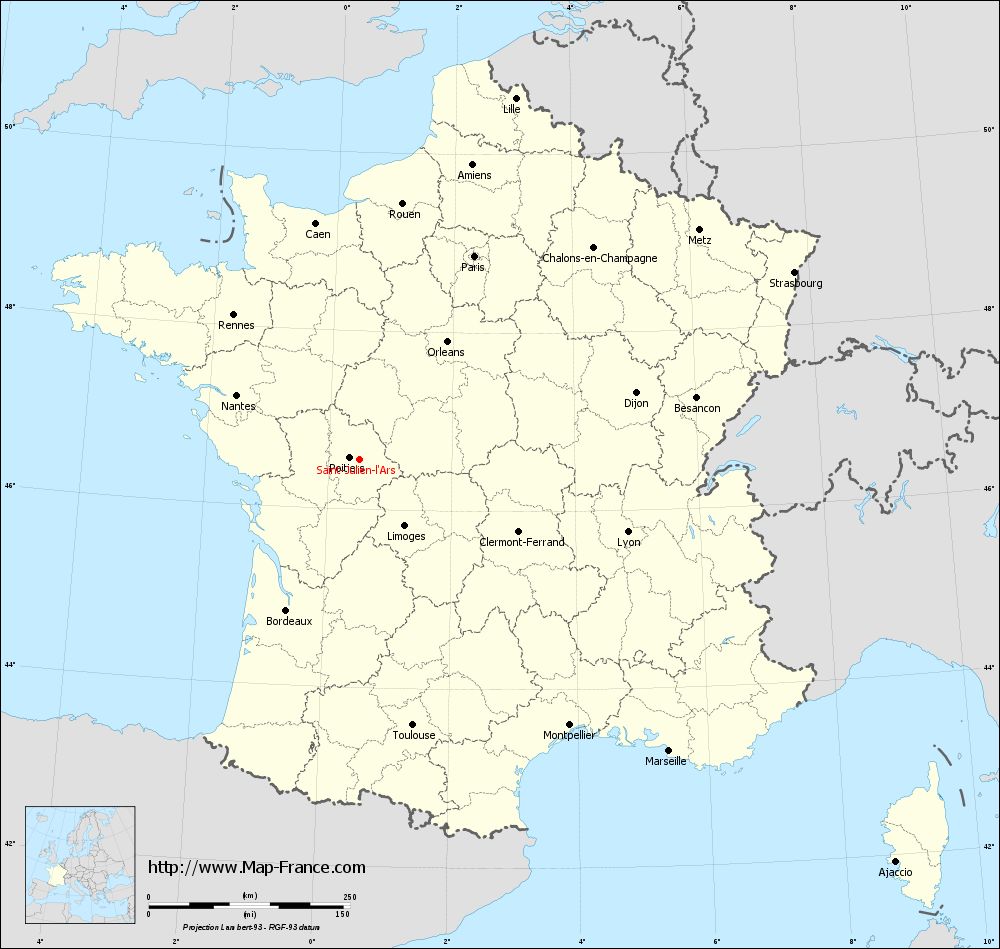
View the map of Saint-Julien-l'Ars in full screen (1000 x 949)
|
You will find the location of Saint-Julien-l'Ars on the map of France of regions in Lambert 93 coordinates. The city of Saint-Julien-l'Ars is located in the department of Vienne of the french region Poitou-Charentes.
Geographical sexagesimal coordinates / GPS (WGS84):
Latitude: 46° 33' 31'' North
Longitude: 00° 30' 37'' East
Geographical decimal coordinates :
Latitude: 46.56 degrees (46.56° North)
Longitude: 0.509 degrees (0.509° East)
Lambert 93 coordinates :
X: 5 093 hectometers
Y: 66 095 hectometers
Lambert 2 coordinates :
X: 4 600 hectometers
Y: 21 748 hectometers
Below, the geographical coordinates of Poitiers, prefecture of the Vienne department:
Geographical sexagesimal coordinates / GPS (WGS84):
Latitude: 46° 34' 52'' North
Longitude: 00° 20' 07'' East
Geographical decimal coordinates :
Latitude: 46.585 degrees (46.585° North)
Longitude: 0.344 degrees (0.344° East)
Lambert 93 coordinates :
X: 4 960 hectometers
Y: 66 125 hectometers
Lambert 2 coordinates :
X: 4 466 hectometers
Y: 21 776 hectometers
|
This map of Saint-Julien-l'Ars is reusable and modifiable by making a link to this page of the Map-France.com website or by using the given code :
|
Map of Saint-Julien-l'Ars with departments and prefectures
|
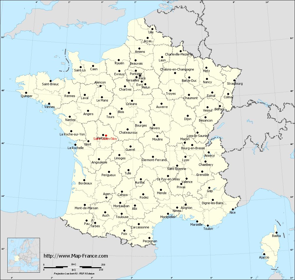
Voir la carte of Saint-Julien-l'Ars en grand format (1000 x 949)
|
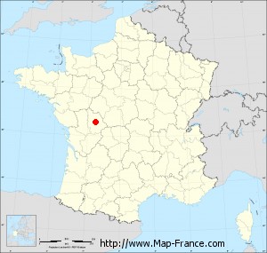
Here is the localization of Saint-Julien-l'Ars on the France map of departments in Lambert 93 coordinates. The city of Saint-Julien-l'Ars is shown on the map by a red point.
The city of Saint-Julien-l'Ars is located in the department of Vienne of the french region Poitou-Charentes.
The latitude of Saint-Julien-l'Ars is 46.56 degrees North.
The longitude of Saint-Julien-l'Ars is 0.509 degrees East.
Here the distance between Saint-Julien-l'Ars and the biggest cities of France:
Distances are calculated as the crow flies (orthodromic distance)
Distance between Saint-Julien-l'Ars and Paris : 290.2 kilometers
Distance between Saint-Julien-l'Ars and Marseille : 528.38 kilometers
Distance between Saint-Julien-l'Ars and Lyon : 344.54 kilometers
Distance between Saint-Julien-l'Ars and Toulouse : 337.03 kilometers
Distance between Saint-Julien-l'Ars and Nice : 616.73 kilometers
Distance between Saint-Julien-l'Ars and Nantes : 172.89 kilometers
Distance between Saint-Julien-l'Ars and Strasbourg : 587.68 kilometers
Distance between Saint-Julien-l'Ars and Montpellier : 420.86 kilometers
Distance between Saint-Julien-l'Ars and Bordeaux : 208.44 kilometers
Distance between Saint-Julien-l'Ars and Lille : 488.85 kilometers
Distance between Saint-Julien-l'Ars and Rennes : 238.2 kilometers
Distance between Saint-Julien-l'Ars and Reims : 398.3 kilometers
Clic here to see the map of Saint-Julien-l'Ars in full screen:
Saint-Julien-l%27Ars on the map of french departments
|
This administrative map of Saint-Julien-l'Ars is reusable and modifiable by making a link to this page of the Map-France.com website or by using the given code :
|
Administrative base maps of Saint-Julien-l'Ars
|

See the administrative base map of Saint-Julien-l'Ars in full screen (1000 x 949)
|
Small administrative base map of Saint-Julien-l'Ars
|
This base map administrative of Saint-Julien-l'Ars is reusable and modifiable by making a link to this page of the Map-France.com website or by using the given code :
|
 French Version : http://www.cartesfrance.fr