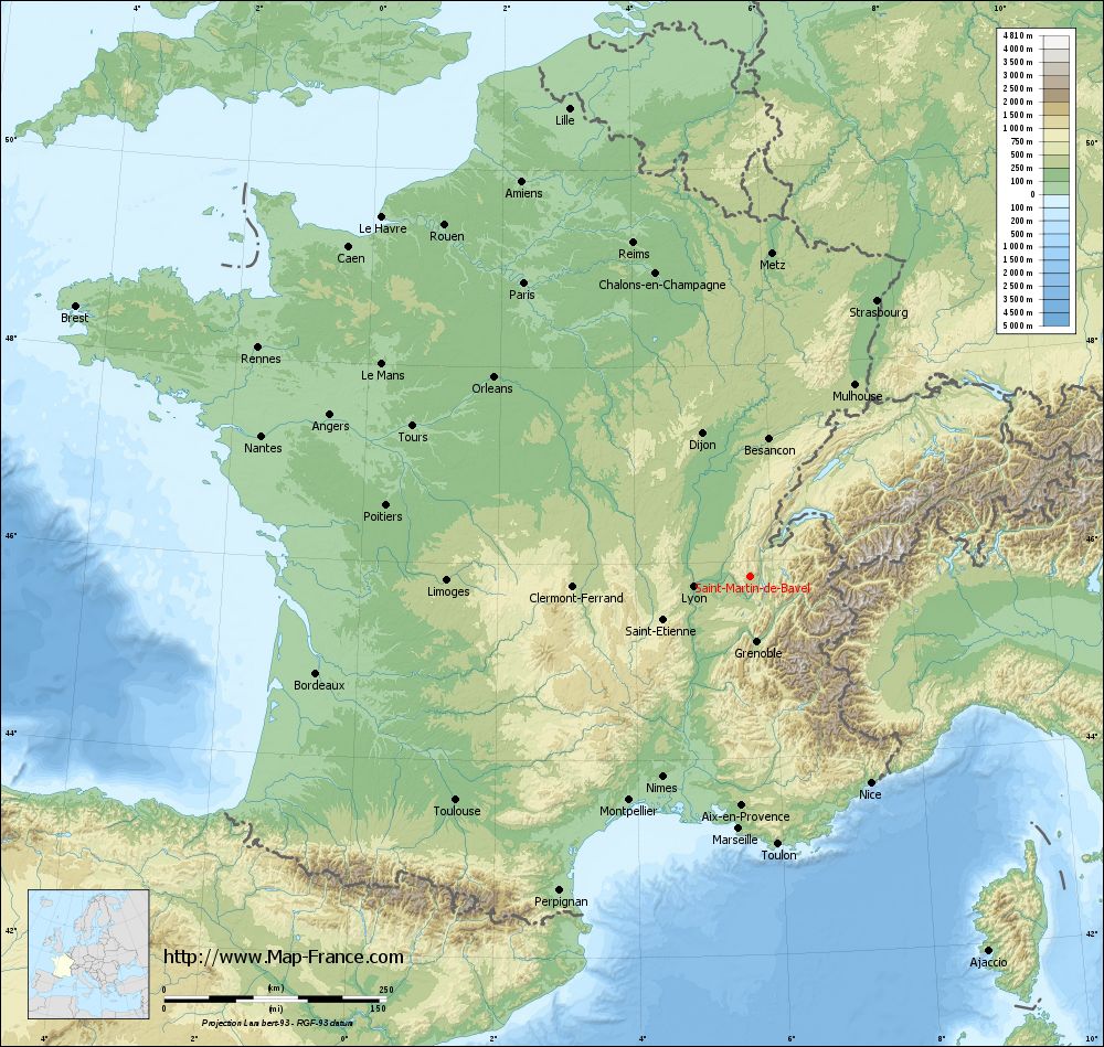
Saint-Martin-de-Bavel on the relief France map in Lambert 93 coordinates
|
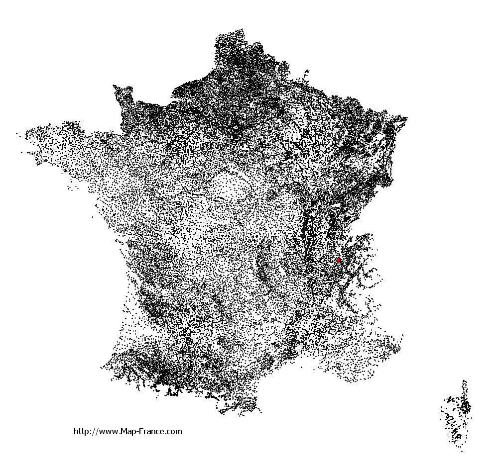
See the map of Saint-Martin-de-Bavel in full screen (1000 x 949)
|
At left, here is the location of Saint-Martin-de-Bavel on the relief France map in Lambert 93 coordinates.
Here are the altitudes of Saint-Martin-de-Bavel :
- Town hall altitude of Saint-Martin-de-Bavel is 323 meters
- Minimum altitude of Saint-Martin-de-Bavel is 249 meters
- Maximum altitude of Saint-Martin-de-Bavel is 442 meters
- Medium altitude of Saint-Martin-de-Bavel is 346 meters
Here are the altitudes of Bourg-en-Bresse, prefecture of Ain department:
- Town hall altitude of Bourg-en-Bresse is 230 meters
- Minimum altitude of Bourg-en-Bresse is 220 meters
- Maximum altitude of Bourg-en-Bresse is 273 meters
- Medium altitude of Bourg-en-Bresse is 247 meters
Here are the altitudes of the french biggest cities:
Paris : 33 meters
Marseille : 20 meters
Lyon : 237 meters
Toulouse : 146 meters
Nice : 10 meters
Nantes : 20 meters
Strasbourg : 144 meters
Montpellier : 35 meters
Bordeaux : 16 meters
Lille : 20 meters
Rennes : 35 meters
Reims : 83 meters
Click here for the terrain map of Saint-Martin-de-Bavel in full screen:
Relief map of Saint-Martin-de-Bavel
|
This relief map of Saint-Martin-de-Bavel is reusable and modifiable by making a link to this page of the Map-France.com website or by using the given code :
|
Terrain base map of Saint-Martin-de-Bavel
|

See the terrain base map of Saint-Martin-de-Bavel in full screen (1000 x 949)
|
Small relief base map of Saint-Martin-de-Bavel

|
This base map of Saint-Martin-de-Bavel is reusable and modifiable by making a link to this page of the Map-France.com website or by using the given code :
|
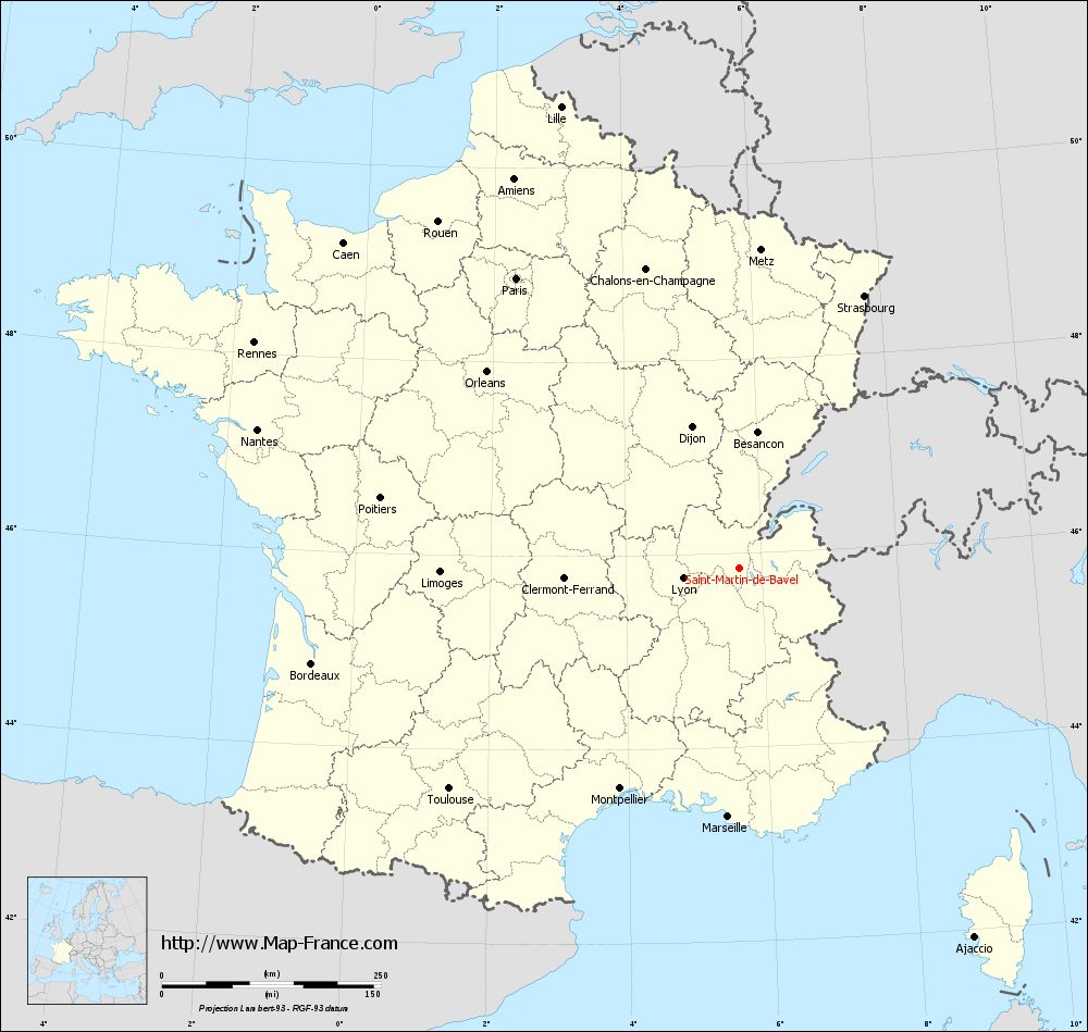
Map of Saint-Martin-de-Bavel with regions and prefectures
|
View the map of Saint-Martin-de-Bavel in full screen (1000 x 949)
|
You will find the location of Saint-Martin-de-Bavel on the map of France of regions in Lambert 93 coordinates. The town of Saint-Martin-de-Bavel is located in the department of Ain of the french region Rhône-Alpes.
Geographical sexagesimal coordinates / GPS (WGS84):
Latitude: 45° 50' 57'' North
Longitude: 05° 40' 39'' East
Geographical decimal coordinates :
Latitude: 45.849 degrees (45.849° North)
Longitude: 5.677 degrees (5.677° East)
Lambert 93 coordinates :
X: 9 077 hectometers
Y: 65 313 hectometers
Lambert 2 coordinates :
X: 8 594 hectometers
Y: 20 998 hectometers
Below, the geographical coordinates of Bourg-en-Bresse, prefecture of the Ain department:
Geographical sexagesimal coordinates / GPS (WGS84):
Latitude: 46° 12' 17'' North
Longitude: 05° 13' 41'' East
Geographical decimal coordinates :
Latitude: 46.205 degrees (46.205° North)
Longitude: 5.226 degrees (5.226° East)
Lambert 93 coordinates :
X: 8 718 hectometers
Y: 65 696 hectometers
Lambert 2 coordinates :
X: 8 231 hectometers
Y: 21 380 hectometers
|
This map of Saint-Martin-de-Bavel is reusable and modifiable by making a link to this page of the Map-France.com website or by using the given code :
|
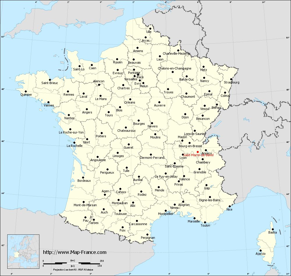
Map of Saint-Martin-de-Bavel with departments and prefectures
|
Voir la carte of Saint-Martin-de-Bavel en grand format (1000 x 949)
|
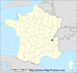
Here is the localization of Saint-Martin-de-Bavel on the France map of departments in Lambert 93 coordinates. The city of Saint-Martin-de-Bavel is shown on the map by a red point.
The town of Saint-Martin-de-Bavel is located in the department of Ain of the french region Rhône-Alpes.
The latitude of Saint-Martin-de-Bavel is 45.849 degrees North.
The longitude of Saint-Martin-de-Bavel is 5.677 degrees East.
Here the distance between Saint-Martin-de-Bavel and the biggest cities of France:
Distances are calculated as the crow flies (orthodromic distance)
Distance between Saint-Martin-de-Bavel and Paris : 418.04 kilometers
Distance between Saint-Martin-de-Bavel and Marseille : 284.39 kilometers
Distance between Saint-Martin-de-Bavel and Lyon : 66.02 kilometers
Distance between Saint-Martin-de-Bavel and Toulouse : 416.82 kilometers
Distance between Saint-Martin-de-Bavel and Nice : 268.93 kilometers
Distance between Saint-Martin-de-Bavel and Nantes : 573.04 kilometers
Distance between Saint-Martin-de-Bavel and Strasbourg : 341.93 kilometers
Distance between Saint-Martin-de-Bavel and Montpellier : 286.74 kilometers
Distance between Saint-Martin-de-Bavel and Bordeaux : 500.74 kilometers
Distance between Saint-Martin-de-Bavel and Lille : 565.46 kilometers
Distance between Saint-Martin-de-Bavel and Rennes : 611.26 kilometers
Distance between Saint-Martin-de-Bavel and Reims : 398.30 kilometers
Clic here to see the map of Saint-Martin-de-Bavel in full screen:
Saint-Martin-de-Bavel on the map of french departments
|
This administrative map of Saint-Martin-de-Bavel is reusable and modifiable by making a link to this page of the Map-France.com website or by using the given code :
|
Administrative base maps of Saint-Martin-de-Bavel
|

See the administrative base map of Saint-Martin-de-Bavel in full screen (1000 x 949)
|
Small administrative base map of Saint-Martin-de-Bavel
|
This base map administrative of Saint-Martin-de-Bavel is reusable and modifiable by making a link to this page of the Map-France.com website or by using the given code :
|
 French Version : http://www.cartesfrance.fr