|
The village of Saint-Omer is a small village located north west of France. The town of Saint-Omer is located in the department of Calvados of the french region Basse-Normandie. The town of Saint-Omer is located in the township of Thury-Harcourt part of the district of Caen. The area code for Saint-Omer is 14635 (also known as code INSEE), and the Saint-Omer zip code is 14220.
Geography and map of Saint-Omer :
The altitude of the city hall of Saint-Omer is approximately 224 meters. The Saint-Omer surface is 8.07 km ². The latitude and longitude of Saint-Omer are 48.927 degrees North and 0.454 degrees West.
Nearby cities and towns of Saint-Omer are :
Le Vey (14570) at 1.86 km, Clécy (14570) at 2.42 km, Combray (14220) at 2.71 km, La Pommeraye (14690) at 3.00 km, Le Bô (14690) at 3.18 km, Saint-Rémy (14570) at 3.42 km, Caumont-sur-Orne (14220) at 3.74 km, Donnay (14220) at 4.05 km.
(The distances to these nearby towns of Saint-Omer are calculated as the crow flies)
Population and housing of Saint-Omer :
The population of Saint-Omer was 157 in 1999, 162 in 2006 and 163 in 2007. The population density of Saint-Omer is 20.20 inhabitants per km². The number of housing of Saint-Omer was 78 in 2007. These homes of Saint-Omer consist of 65 main residences, 7 second or occasional homes and 6 vacant homes. |
|
|
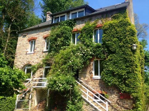
Hotel Saint-Omer
|
|
|
Book now ! Best Price Guaranteed, no booking fees, pay at the hotel with our partner Booking.com, leader in online hotel reservation.
Find all hotels of Saint-Omer : Hotel Saint-Omer
| |
|
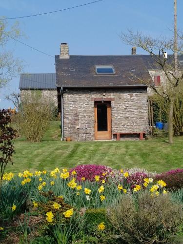
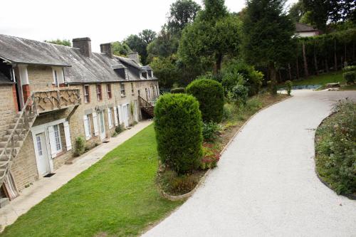
Guest accommodation : Le Pti' chez vous

Situated in Saint-Omer in the Lower Normandy region, Le Pti' chez vous has a terrace and garden views. Guests staying at this holiday home have access to a fully equipped kitche...
Address : Les Basses Planches 14220 Saint-Omer
Distance Guest accommodation - Saint-Omer : 0.62 km
|
|
|
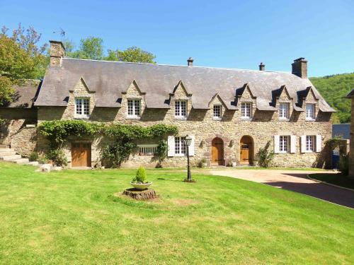
Bed and Breakfast : Le Manoir de Placy
Set in Clécy, 40 km from Caen, Le Manoir de Placy features free WiFi access and free private parking. You will find a kettle in the room. The rooms feature a private bathroom w...
Contact : Le Manoir de Placy lieu-dit Placy 14570 Clécy
Distance Bed and Breakfast - Saint-Omer : 1.88 km
|
|
|
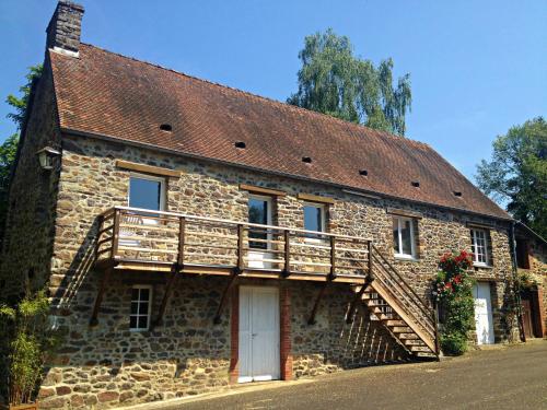
Guest accommodation : Gîte du Moulin du Vey

Set 1 km from the centre of Clécy, Gîte du Moulin du Vey sits in a 1.6-hectare park and it offers self-catering accommodation with private, furnished terraces. Wi-Fi is free of ...
Prices : from 110.00 €
to 170.00 €
Contact : Lieu dit le Moulin du Vey 14570 Clécy
Distance Guest accommodation - Saint-Omer : 2.00 km
|
|
|
Bed and Breakfast : Chambres d'Hôtes du Moulin du Vey
Set on a 2-hectare park, Chambres d’Hôtes du Moulin du Vey is 1 km from the centre of Clécy. It offers free Wi-Fi, a terrace and a dining room where guests are invited to enjoy ...
Rate : from 60.00 €
to 100.00 €
Contact : Lieu dit le Moulin du Vey 14570 Clécy
Distance Bed and Breakfast - Saint-Omer : 2.00 km
|
|

|
Guest accommodation : Ma Cabane du Canada
Set in Combray in the Suisse Normande area, 27 km from Caen, Ma Cabane du Canada boasts a sun terrace and views of the garden. Every room includes a shared bathroom. There is ...
Price : from 44.00 €
Address : 22 rue de la Courrière - Combray 14220 Combray
Distance Guest accommodation - Saint-Omer : 2.02 km
|
|
|
Guest accommodation : gîtes de la petite suisse
Set 200 meters from the banks of the Orne River, gîtes de la petite suisse is a holiday home located 200 meters from Clécy village centre. Free private parking is available. Fre...
Prices : from 50.00 €
to 140.00 €
Contact : rue d'ermington rue d'ermington 14570 Clécy
Distance Guest accommodation - Saint-Omer : 2.08 km
|
|

|
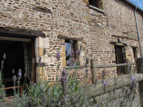
Guest accommodation : Chambre d'hotes de la Mousse
Chambre d'hotes de la Mousse in Saint Remy sur Orne features 3-star accommodation with a garden and a terrace. This 3-star guest house offers free WiFi. Guests can enjoy garden ...
Rate : from 55.00 €
to 110.00 €
Contact : 2911 route de saint omer La Mousse 14570 Saint Remy sur Orne
Distance Guest accommodation - Saint-Omer : 2.18 km
|
|
|
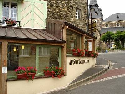
Hotel : Logis Hotel Au Site Normand
This Logis is located in Clécy near the banks of the River Orne. The hotel offers a buffet breakfast and all guestrooms have a private bathroom, TV and free Wi-Fi. The Logis Ho...
Price : from 97.00 €
to 161.00 €
Contact : 1, Rue Des Châtelets. 14570 Clécy
Distance Hotel - Saint-Omer : 2.42 km
|
|
|
Guest accommodation : L'ECURIE GITE
Featuring garden views, L'ECURIE GITE is a holiday home set in the heart of La Pommeraye, in Norman Switzerland, 52 km from Ouistreham Beach. Guests staying at this holiday home...
Address : LE MESNIL 14690 La Pommeraye
Distance Guest accommodation - Saint-Omer : 2.86 km
|
|
|
Guest accommodation : L'Ecurie
Offering a sun terrace and views of the garden, L'Ecurie is a Guest House in a former Norman farmhouse. The property is set in La Pommeraye in the Lower Normandy Region, 31 km f...
Rate : from 115.00 €
Contact : Le Mesnil 14690 La Pommeraye
Distance Guest accommodation - Saint-Omer : 2.87 km
|
|
Find another hotel near Saint-Omer : Saint-Omer hotels list
|
Map of Saint-Omer
|
|
Map of Saint-Omer :
At right you can find the localization of Saint-Omer on the map of France. Below, this is the satellite map of Saint-Omer. A road map, and maps templates of Saint-Omer are available here : "road map of Saint-Omer". This map show Saint-Omer seen by the satellite of Google Map. To see the streets of Saint-Omer or move on another zone, use the buttons "zoom" and "map" on top of this dynamic map.
Search on the map of Saint-Omer :
To search hotels, housings, tourist information office, administrations or other services, use the Google search integrated to the map on the following page : "map Saint-Omer".
Hotels of Saint-Omer are listed on the map with the following icons: 
The map of Saint-Omer is centred in the following coordinates :
|

|
|
|
|
Print the map of Saint-Omer

Print the map of Saint-Omer : map of Saint-Omer
|
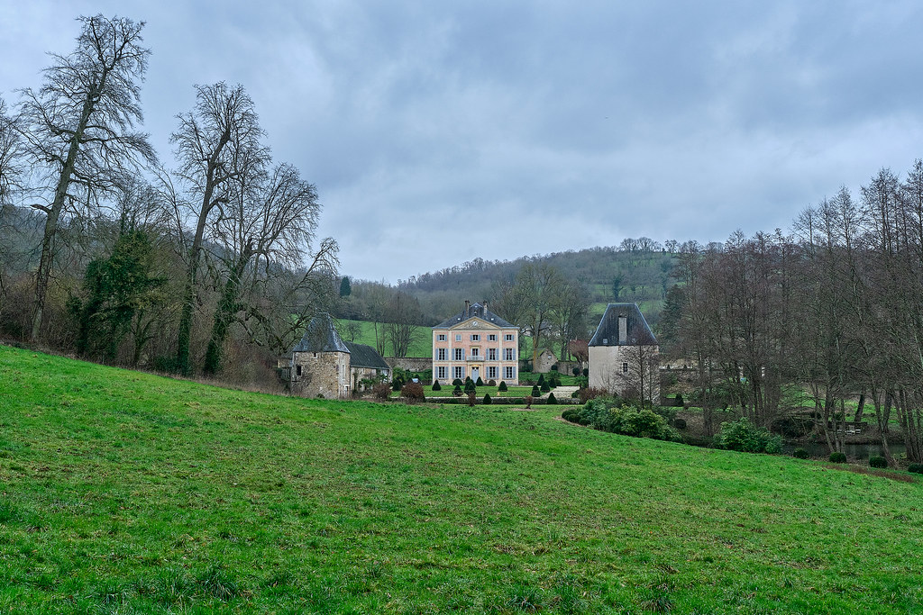
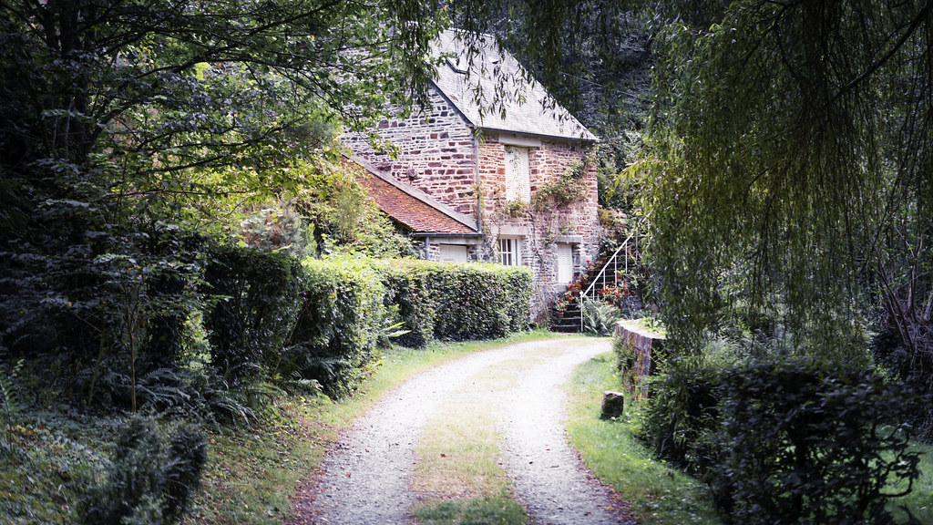
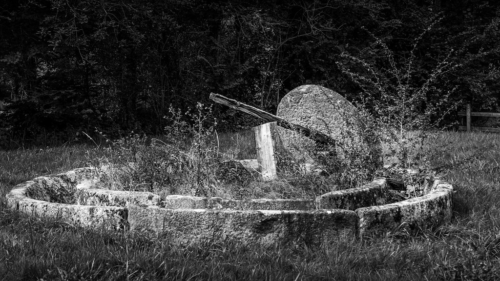
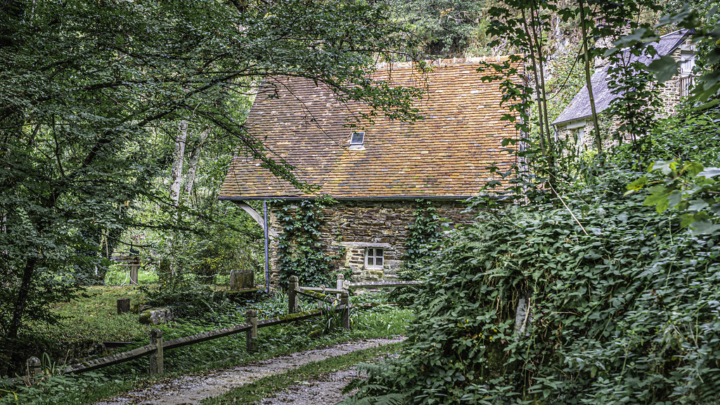
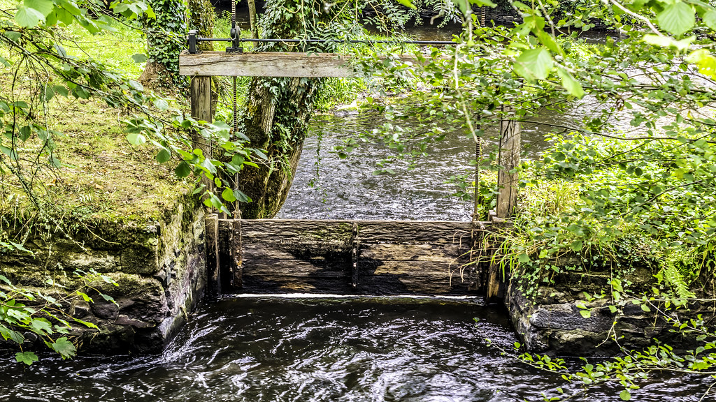
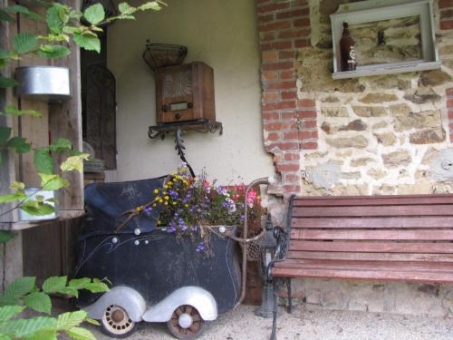
Photos Saint-Omer
|
See all photos of Saint-Omer :
Other photos of Saint-Omer and nearby towns can be found here: photos Saint-Omer
|
|
Saint-Omer weather forecast
Find next hours and 7 days weather forecast for Saint-Omer here : weather Saint-Omer (with english metrics)
This is the last weather forecast for Saint-Omer collected by the nearest observation station of Thury-Harcourt.
Week Forecast:
The latest weather data for Saint-Omer were collected Saturday, 12 July 2025 at 15:02 from the nearest observation station of Thury-Harcourt.
| Saturday, July 12th |
28°C 16°C
0%
3%
|
Clear
Temperature Max: 28°C Temperature Min: 16°C
Precipitation Probability: 0%
Percentage of sky occluded by clouds: 3%
Wind speed: 15 km/h Sout-East
Humidity: 54%° UV Index: 8
Sunrise: 06:11 Sunset: 22:03 |
|
| | Sunday, July 13th |
30°C 15°C
31%
40%
|
Thunderstorms
Temperature Max: 30°C Temperature Min: 15°C
Precipitation Probability: 31% (Rain)
Percentage of sky occluded by clouds: 40%
Wind speed: 8 km/h West
Humidity: 51%° UV Index: 7
Sunrise: 06:12 Sunset: 22:02 |
|
| | Monday, July 14th |
24°C 15°C
36%
76%
|
Drizzle
Temperature Max: 24°C Temperature Min: 15°C
Precipitation Probability: 36% (Rain)
Percentage of sky occluded by clouds: 76%
Wind speed: 21 km/h East
Humidity: 65%° UV Index: 4
Sunrise: 06:13 Sunset: 22:02 |
|
| | Tuesday, July 15th |
23°C 12°C
14%
57%
|
Windy
Temperature Max: 23°C Temperature Min: 12°C
Precipitation Probability: 14% (Rain)
Percentage of sky occluded by clouds: 57%
Wind speed: 24 km/h East
Humidity: 56%° UV Index: 6
Sunrise: 06:14 Sunset: 22:01 |
|
|
Attribution: 
|
|
Other maps, hotels and towns in france
Find another town, zip code, department, region, ...
Quick links Saint-Omer :
Make a link to this page of Saint-Omer with the following code :
|
|
|
 French Version : http://www.cartesfrance.fr/carte-france-ville/14635_Saint-Omer.html