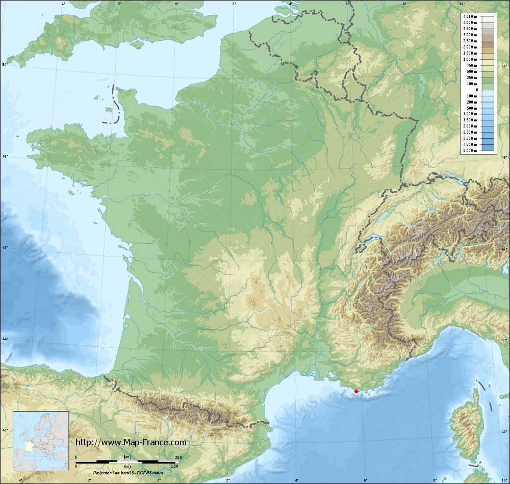
Six-Fours-les-Plages on the relief France map in Lambert 93 coordinates
|

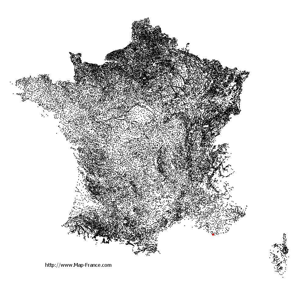
See the map of Six-Fours-les-Plages in full screen (1000 x 949)
|
At left, here is the location of Six-Fours-les-Plages on the relief France map in Lambert 93 coordinates.
Here are the altitudes of Six-Fours-les-Plages :
- Town hall altitude of Six-Fours-les-Plages is 30 meters
- Minimum altitude of Six-Fours-les-Plages is 0 meters
- Maximum altitude of Six-Fours-les-Plages is 352 meters
- Medium altitude of Six-Fours-les-Plages is 176 meters
Here are the altitudes of Toulon, prefecture of Var department:
- Town hall altitude of Toulon is 30 meters
- Minimum altitude of Toulon is 0 meters
- Maximum altitude of Toulon is 589 meters
- Medium altitude of Toulon is 295 meters
Here are the altitudes of the french biggest cities:
Paris : 33 meters
Marseille : 20 meters
Lyon : 237 meters
Toulouse : 146 meters
Nice : 10 meters
Nantes : 20 meters
Strasbourg : 144 meters
Montpellier : 35 meters
Bordeaux : 16 meters
Lille : 20 meters
Rennes : 35 meters
Reims : 83 meters
Click here for the terrain map of Six-Fours-les-Plages in full screen:
Relief map of Six-Fours-les-Plages
|
This relief map of Six-Fours-les-Plages is reusable and modifiable by making a link to this page of the Map-France.com website or by using the given code :
|
Terrain base map of Six-Fours-les-Plages
|
See the terrain base map of Six-Fours-les-Plages in full screen (1000 x 949)
|
Small relief base map of Six-Fours-les-Plages

|
This base map of Six-Fours-les-Plages is reusable and modifiable by making a link to this page of the Map-France.com website or by using the given code :
|
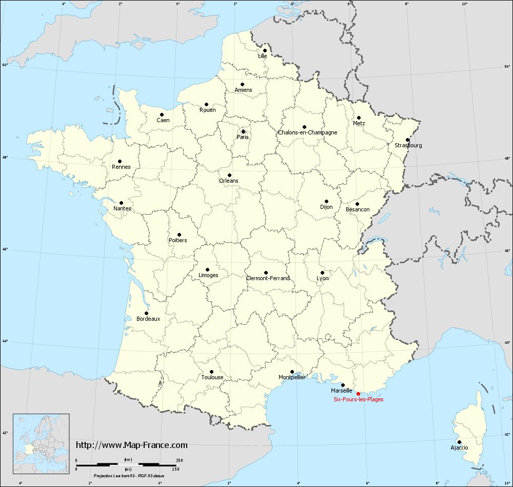
Map of Six-Fours-les-Plages with regions and prefectures
|
View the map of Six-Fours-les-Plages in full screen (1000 x 949)
|
You will find the location of Six-Fours-les-Plages on the map of France of regions in Lambert 93 coordinates. The city of Six-Fours-les-Plages is located in the department of Var of the french region Provence-Alpes-Côte d'Azur.
Geographical sexagesimal coordinates / GPS (WGS84):
Latitude: 43° 05' 36'' North
Longitude: 05° 50' 22'' East
Geographical decimal coordinates :
Latitude: 43.094 degrees (43.094° North)
Longitude: 5.837 degrees (5.837° East)
Lambert 93 coordinates :
X: 9 313 hectometers
Y: 62 257 hectometers
Lambert 2 coordinates :
X: 8 856 hectometers
Y: 17 942 hectometers
Below, the geographical coordinates of Toulon, prefecture of the Var department:
Geographical sexagesimal coordinates / GPS (WGS84):
Latitude: 43° 07' 30'' North
Longitude: 05° 55' 50'' East
Geographical decimal coordinates :
Latitude: 43.127 degrees (43.127° North)
Longitude: 5.934 degrees (5.934° East)
Lambert 93 coordinates :
X: 9 386 hectometers
Y: 62 295 hectometers
Lambert 2 coordinates :
X: 8 929 hectometers
Y: 17 981 hectometers
|
This map of Six-Fours-les-Plages is reusable and modifiable by making a link to this page of the Map-France.com website or by using the given code :
|
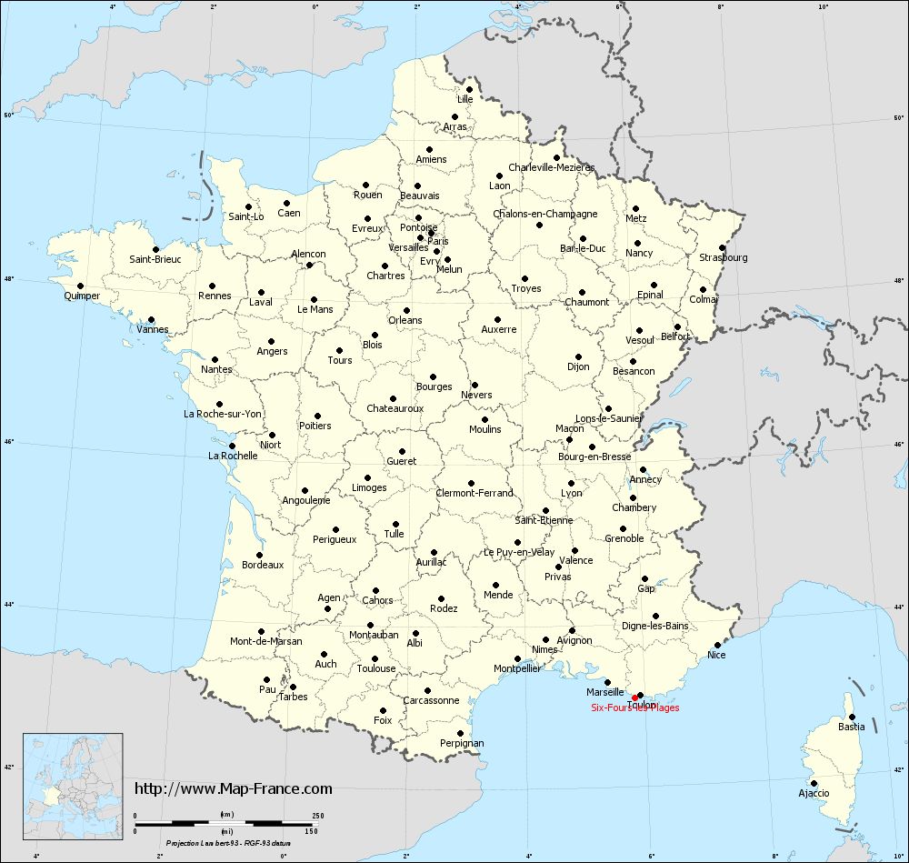
Map of Six-Fours-les-Plages with departments and prefectures
|
Voir la carte of Six-Fours-les-Plages en grand format (1000 x 949)
|
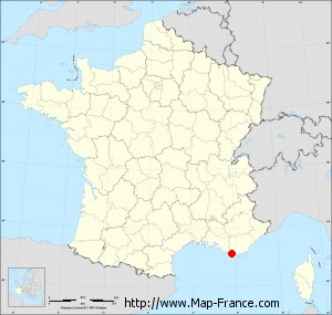
Here is the localization of Six-Fours-les-Plages on the France map of departments in Lambert 93 coordinates. The city of Six-Fours-les-Plages is shown on the map by a red point.
The city of Six-Fours-les-Plages is located in the department of Var of the french region Provence-Alpes-Côte d'Azur.
The latitude of Six-Fours-les-Plages is 43.094 degrees North.
The longitude of Six-Fours-les-Plages is 5.837 degrees East.
Here the distance between Six-Fours-les-Plages and the biggest cities of France:
Distances are calculated as the crow flies (orthodromic distance)
Distance between Six-Fours-les-Plages and Paris : 694.93 kilometers
Distance between Six-Fours-les-Plages and Marseille : 42.01 kilometers
Distance between Six-Fours-les-Plages and Lyon : 306.67 kilometers
Distance between Six-Fours-les-Plages and Toulouse : 358.8 kilometers
Distance between Six-Fours-les-Plages and Nice : 133.67 kilometers
Distance between Six-Fours-les-Plages and Nantes : 737.94 kilometers
Distance between Six-Fours-les-Plages and Strasbourg : 627.81 kilometers
Distance between Six-Fours-les-Plages and Montpellier : 168.55 kilometers
Distance between Six-Fours-les-Plages and Bordeaux : 548.12 kilometers
Distance between Six-Fours-les-Plages and Lille : 863.38 kilometers
Distance between Six-Fours-les-Plages and Rennes : 806.62 kilometers
Distance between Six-Fours-les-Plages and Reims : 698.77 kilometers
Clic here to see the map of Six-Fours-les-Plages in full screen:
Six-Fours-les-Plages on the map of french departments
|
This administrative map of Six-Fours-les-Plages is reusable and modifiable by making a link to this page of the Map-France.com website or by using the given code :
|
Administrative base maps of Six-Fours-les-Plages
|

See the administrative base map of Six-Fours-les-Plages in full screen (1000 x 949)
|
Small administrative base map of Six-Fours-les-Plages
|
This base map administrative of Six-Fours-les-Plages is reusable and modifiable by making a link to this page of the Map-France.com website or by using the given code :
|
 French Version : http://www.cartesfrance.fr