|
The village of Steige is a small village located north east of France. The town of Steige is located in the department of Bas-Rhin of the french region Alsace. The town of Steige is located in the township of Villé part of the district of Sélestat-Erstein. The area code for Steige is 67477 (also known as code INSEE), and the Steige zip code is 67220.
Geography and map of Steige :
The altitude of the city hall of Steige is approximately 410 meters. The Steige surface is 9.86 km ². The latitude and longitude of Steige are 48.361 degrees North and 7.239 degrees East.
Nearby cities and towns of Steige are :
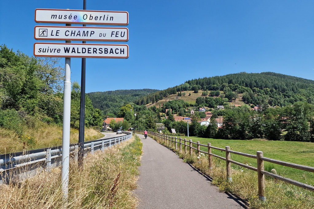
Maisonsgoutte (67220) at 2.02 km, Ranrupt (67420) at 3.34 km, Urbeis (67220) at 3.94 km, Saint-Martin (67220) at 3.97 km, Lalaye (67220) at 4.02 km, Breitenbach (67220) at 4.04 km, Bassemberg (67220) at 4.38 km, Fouchy (67220) at 4.56 km.
(The distances to these nearby towns of Steige are calculated as the crow flies)
Population and housing of Steige :
The population of Steige was 505 in 1999, 543 in 2006 and 541 in 2007. The population density of Steige is 54.87 inhabitants per km². The number of housing of Steige was 300 in 2007. These homes of Steige consist of 211 main residences, 63 second or occasional homes and 26 vacant homes. |
|
|
Hotel Steige
|
|
|
Book now ! Best Price Guaranteed, no booking fees, pay at the hotel with our partner Booking.com, leader in online hotel reservation.
Find all hotels of Steige : Hotel Steige
| |
|
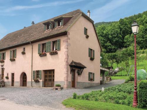
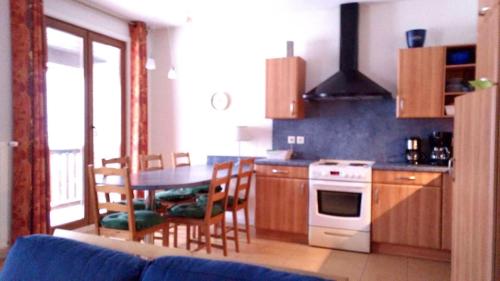
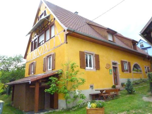
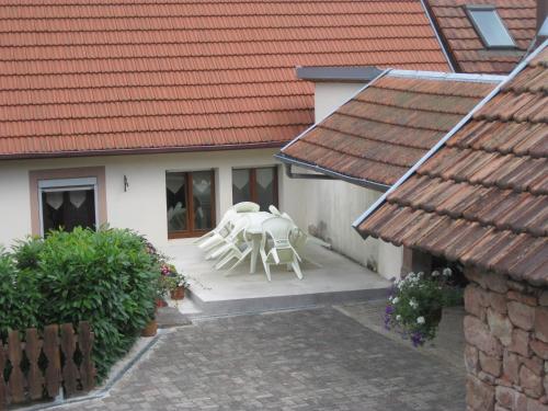
Guest accommodation : Holiday Home Steige I

Holiday Home Steige I is set in Steige. The accommodation is 42 km from Colmar. The property includes a living room with a TV. The kitchen has a dishwasher. Riquewihr is 39 km...
Address : 67220 Steige
Distance Guest accommodation - Steige : 1.13 km
|
|
|
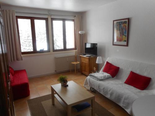
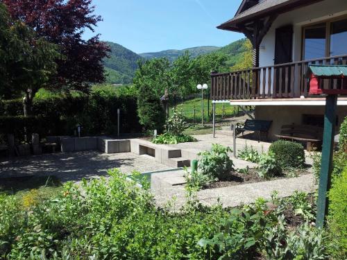
Apartment : Appartement la Charbonnière
Appartement la Charbonnière is set in Bellefosse and offers a terrace. The apartment is in an area where guests can engage in activities such as skiing and hiking. This apartme...
Contact : COL DE LA CHARBONNIERE COL DE LA CHARBONNIERE 67140 Bellefosse
Distance Apartment - Steige : 2.75 km
|
|
|
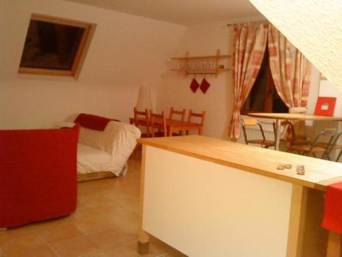
Apartment : la Charbonnière
La Charbonnière is situated in Bellefosse. Guests staying at this apartment have access to a fully equipped kitchenette. The apartment is fitted with a flat-screen TV and 1 bed...
Prices : from 64.00 €
Contact : 110 forêt de chirgoutte 67130 Bellefosse
Distance Apartment - Steige : 2.83 km
|
|
|
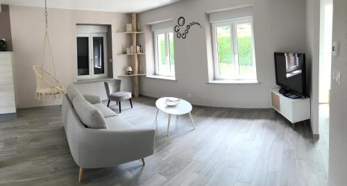
Apartment : La Charbonnière
Set amongst a forest, 1 km from Le Champ du Feu ski resort, is this self-catering apartment with mountain views. Cable TV is provided in the apartment and free parking is possib...
Rate : from 80.00 €
Contact : Col de la Charbonnière 67140 Bellefosse
Distance Apartment - Steige : 2.85 km
|
|
|
Guest accommodation : L'escale de la tour
L'escale de la tour is situated in Breitenbach. Guests have a private terrace. This holiday home is equipped with 2 bedrooms, a cable flat-screen TV, and a kitchen with a dishw...
Address : 8 route du mont Saint Odile 67220 Breitenbach
Distance Guest accommodation - Steige : 3.76 km
|
|
|
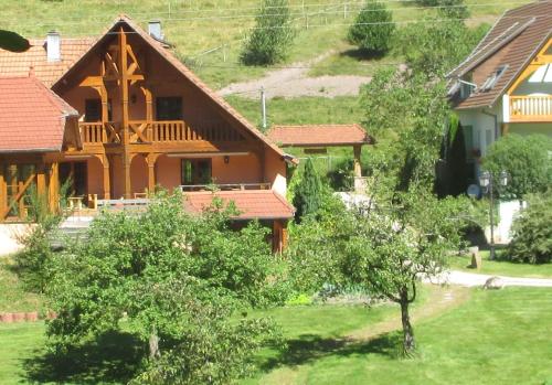
Guest accommodation : Gîte Schlitteur Et Sapiniere

Gîte Schlitteur Et Sapiniere offers 2 self-catering cottages in Breitenbach in the Alsace region, just 14 km from the wine route. The traditionally designed cottages feature exp...
Contact : 3, rue beauregard 67220 Breitenbach
Distance Guest accommodation - Steige : 3.92 km
|
|
|
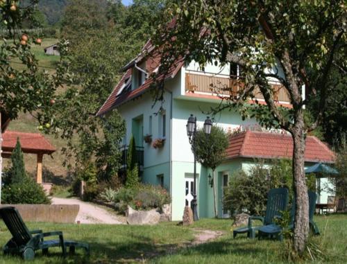
Guest accommodation : Gite Bellevue
Gite Bellevue is located in Breitenbach. Free WiFi access is available in this holiday home. You can relax on the terrace or in the 3000 m² garden and enjoy the panoramic view o...
Contact : 11 rue du stade 67220 Breitenbach
Distance Guest accommodation - Steige : 3.95 km
|
|
|
Guest accommodation : Les Gites La Cerisaie
Les Gites La Criseraie are self-catering holiday homes set on the heights of Breitenbach, 15 km from the Alsace Wine Route. Each has a private, furnished terrace overlooking the...
Contact : 31 rue des Tilleuls 67220 Breitenbach
Distance Guest accommodation - Steige : 4.41 km
|
|
|
Bed and Breakfast : Maison d'hôtes La Cerisaie
Maison d'hôtes La Cerisaie is a B&B located in the countryside 15 km from the Alsace Wine Route. Cherry trees feature in the garden and the hosts prepare homemade pastries and h...
Address : 31 Rue des Tilleuls 67220 Breitenbach
Distance Bed and Breakfast - Steige : 4.41 km
|
|
|
Apartment : Aux coeurs de la vallée
Boasting barbecue facilities, a garden, and a terrace, Aux coeurs de la vallée features accommodation in Fouchy with free WiFi and mountain views. The apartment has garden views...
Contact : rue de l'école 116 rue de l'école 67220 Fouchy
Distance Apartment - Steige : 4.49 km
|
|
Find another hotel near Steige : Steige hotels list
|
Map of Steige
|
|
Map of Steige :
At right you can find the localization of Steige on the map of France. Below, this is the satellite map of Steige. A road map, and maps templates of Steige are available here : "road map of Steige". This map show Steige seen by the satellite of Google Map. To see the streets of Steige or move on another zone, use the buttons "zoom" and "map" on top of this dynamic map.
Search on the map of Steige :
To search hotels, housings, tourist information office, administrations or other services, use the Google search integrated to the map on the following page : "map Steige".
Hotels of Steige are listed on the map with the following icons: 
The map of Steige is centred in the following coordinates :
|

|
|
|
|
Print the map of Steige

Print the map of Steige : map of Steige
|
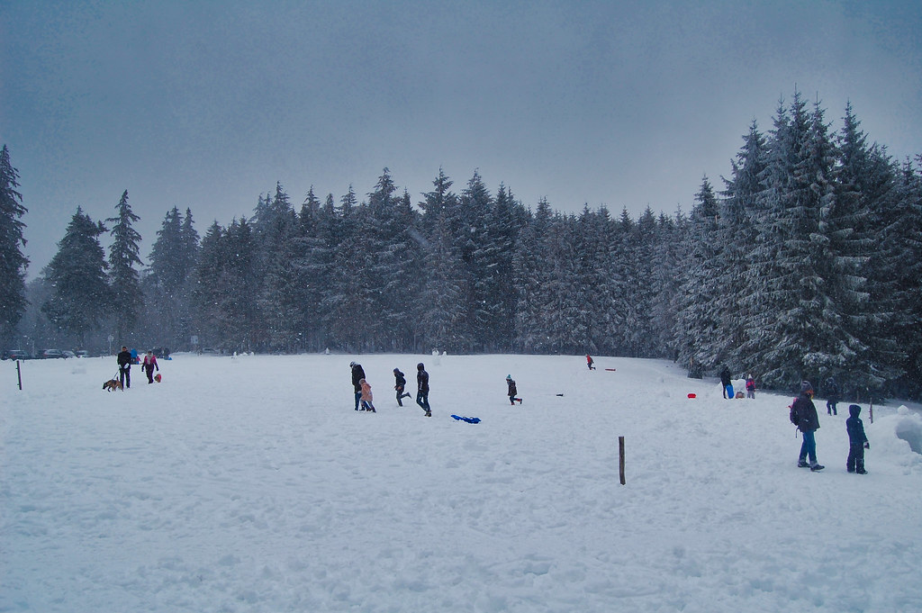
Photos Steige
|
See all photos of Steige :
Other photos of Steige and nearby towns can be found here: photos Steige
|
|
Steige weather forecast
Find next hours and 7 days weather forecast for Steige here : weather Steige (with english metrics)
This is the last weather forecast for Steige collected by the nearest observation station of Villé.
Week Forecast:
The latest weather data for Steige were collected Friday, 18 July 2025 at 19:06 from the nearest observation station of Villé.
| Friday, July 18th |
27°C 14°C
0%
49%
|
Partly cloudy
Temperature Max: 27°C Temperature Min: 14°C
Precipitation Probability: 0%
Percentage of sky occluded by clouds: 49%
Wind speed: 5 km/h West
Humidity: 52%° UV Index: 6
Sunrise: 05:49 Sunset: 21:24 |
|
| | Saturday, July 19th |
28°C 16°C
34%
91%
|
Rain
Temperature Max: 28°C Temperature Min: 16°C
Precipitation Probability: 34% (Rain)
Percentage of sky occluded by clouds: 91%
Wind speed: 8 km/h North-East
Humidity: 59%° UV Index: 4
Sunrise: 05:50 Sunset: 21:23 |
|
| | Sunday, July 20th |
27°C 17°C
50%
69%
|
Rain
Temperature Max: 27°C Temperature Min: 17°C
Precipitation Probability: 50% (Rain)
Percentage of sky occluded by clouds: 69%
Wind speed: 6 km/h North-East
Humidity: 62%° UV Index: 5
Sunrise: 05:51 Sunset: 21:22 |
|
| | Monday, July 21st |
23°C 16°C
79%
69%
|
Rain
Temperature Max: 23°C Temperature Min: 16°C
Precipitation Probability: 79% (Rain)
Percentage of sky occluded by clouds: 69%
Wind speed: 12 km/h North-East
Humidity: 66%° UV Index: 6
Sunrise: 05:52 Sunset: 21:21 |
|
|
Attribution: 
|
|
Other maps, hotels and towns in france
Find another town, zip code, department, region, ...
Quick links Steige :
Make a link to this page of Steige with the following code :
|
|
|
 French Version : http://www.cartesfrance.fr/carte-france-ville/67477_Steige.html