|
The village of Tagolsheim is a small village located north east of France. The town of Tagolsheim is located in the department of Haut-Rhin of the french region Alsace. The town of Tagolsheim is located in the township of Altkirch part of the district of Altkirch. The area code for Tagolsheim is 68332 (also known as code INSEE), and the Tagolsheim zip code is 68720.
Geography and map of Tagolsheim :
The altitude of the city hall of Tagolsheim is approximately 275 meters. The Tagolsheim surface is 3.19 km ². The latitude and longitude of Tagolsheim are 47.658 degrees North and 7.269 degrees East.
Nearby cities and towns of Tagolsheim are :
Luemschwiller (68720) at 1.59 km, Walheim (68130) at 1.65 km, Illfurth (68720) at 1.83 km, Heidwiller (68720) at 2.11 km, Aspach (68130) at 3.22 km, Obermorschwiller (68130) at 3.37 km, Spechbach-le-Bas (68720) at 3.52 km, Frœningen (68720) at 3.83 km.
(The distances to these nearby towns of Tagolsheim are calculated as the crow flies)
Population and housing of Tagolsheim :
The population of Tagolsheim was 659 in 1999, 632 in 2006 and 668 in 2007. The population density of Tagolsheim is 209.40 inhabitants per km². The number of housing of Tagolsheim was 273 in 2007. These homes of Tagolsheim consist of 254 main residences, 5 second or occasional homes and 15 vacant homes. |
|
|
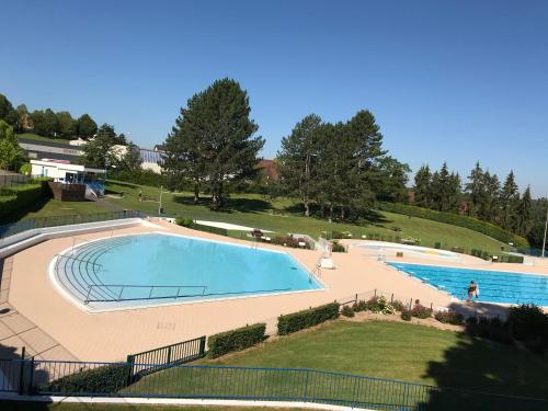
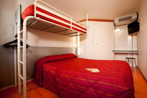
Hotel Tagolsheim
|
|
|
Book now ! Best Price Guaranteed, no booking fees, pay at the hotel with our partner Booking.com, leader in online hotel reservation.
Find all hotels of Tagolsheim : Hotel Tagolsheim
| |
|
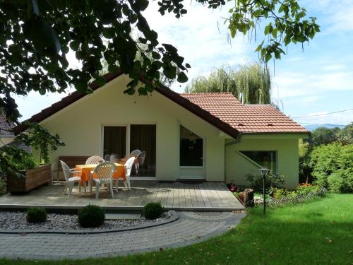
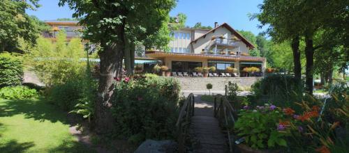
Guest accommodation : Gîte d'Maïsala Les Mésanges

Featuring a garden, Gîte d'Maïsala Les Mésanges offers accommodation in Heidwiller with free WiFi and mountain views. Guests staying at this holiday home have access to a fully ...
Address : 1 Rue de Tagolsheim 68720 Heidwiller
Distance Guest accommodation - Tagolsheim : 1.85 km
|
|
|
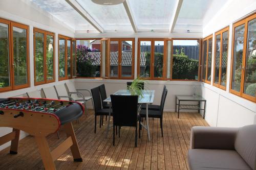
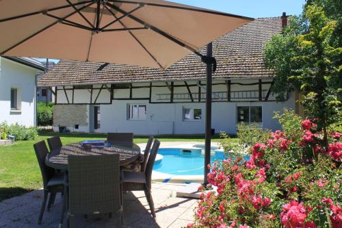
Guest accommodation : Villa bonheur Illfurth Alsace 4 chambres
Set in Illfurth in the Alsace region, Villa bonheur Illfurth Alsace 4 chambres is a 3-star property boasting free WiFi. Guests staying at this holiday home have access to a full...
Contact : 27 rue du chêne 68720 Illfurth
Distance Guest accommodation - Tagolsheim : 2.02 km
|
|
|
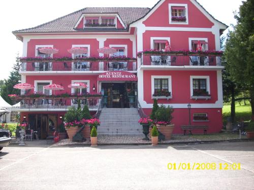
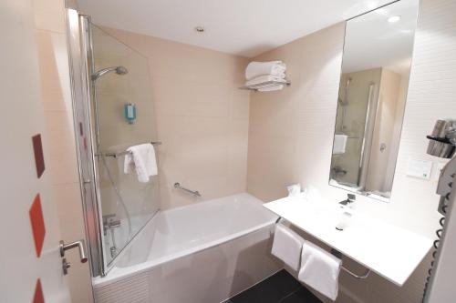
Hotel : Hôtel Restaurant Kuentz
Set in the heart of Alsace, Hôtel Restaurant Kuentz is 2 km from Altkirch and 20 km south of Mulhouse. It offers an on-site restaurant and some rooms feature a private balcony. ...
Prices : from 50.00 €
to 70.00 €
Contact : 13 Rue d'Altkirch 68130 Wittersdorf
Distance Hotel - Tagolsheim : 3.96 km
|
|
|
Bed and Breakfast : Chambres d'hotes Bairet
Situated in Saint-Bernard in the Alsace Region, Chambres d'hotes Bairet offers a self-catering studio, a garden and a barbecue facilities. A private bathroom, a balcony and a k...
Rate : from 67.00 €
to 113.00 €
Contact : 13 rue de l'Eglise 68720 Saint-Bernard
Distance Bed and Breakfast - Tagolsheim : 5.13 km
|
|
|
Guest accommodation : Camping les Acacias
Offering a barbecue, camping les Acacias is located a 5-minute walk from the centre of Altkirch. Guests staying at the campsite will have free access to the city's swimming pool...
Address : RUE DE HIRTZBACH 68130 Altkirch
Distance Guest accommodation - Tagolsheim : 5.60 km
|
|

|
Bed and Breakfast : La Forge Gourmande
Situated in Hochstatt, 8 km from Mulhouse Zoo and 12 km from the Autombile Museum, La Forge Gourmande boasts a restaurant and free WiFi. The B&B has a seasonal outdoor pool and ...
Contact : 6a rue des vosges 68720 Hochstatt
Distance Bed and Breakfast - Tagolsheim : 5.75 km
|
|
|
Hotel : Auberge Sundgovienne
Located a 5-minute drive the centre of Altkirch, Auberge Sundgovienne offers a garden, terrace and elevator. Basel, where the French, Swiss and German borders cross is just a 35...
Rate : from 73.80 €
to 150.00 €
Contact : 1 route de Belfort 68130 Carspach
Distance Hotel - Tagolsheim : 5.94 km
|
|
|
Guest accommodation : Le Clos Saint Morand
Featuring a seasonal outdoor pool and pool views, Le Clos Saint Morand is situated in Balschwiller. Guests staying at this holiday home have access to a fully equipped kitchen. ...
Contact : 3C, Rue du 27 Novembre 68210 Balschwiller
Distance Guest accommodation - Tagolsheim : 7.84 km
|
|
|
Hotel : Holiday Inn Mulhouse
This Holiday Inn is located in Mulhouse’s Parc des Collines business district. It offers air-conditioned rooms, a sauna and indoor swimming pool. Free public parking and free Wi...
Prices : from 99.19 €
to 328.88 €
Address : 34 rue Paul Cezanne 68200 Mulhouse
Distance Hotel - Tagolsheim : 8.83 km
|
|
|
Hotel : Premiere Classe Mulhouse Sud Morschwiller
At the heart of a region bordering 3 countries. Easily accessible from the A36 and the N66, towards Mulhouse/Les Coteaux, only 30 km from the Swiss border and 14 km from German...
Rate : from 29.00 €
to 43.00 €
Contact : 1A Rue de la Source 68790 Morschwiller-le-Bas
Distance Hotel - Tagolsheim : 8.85 km
|
|
Find another hotel near Tagolsheim : Tagolsheim hotels list
|
Map of Tagolsheim
|
|
Map of Tagolsheim :
At right you can find the localization of Tagolsheim on the map of France. Below, this is the satellite map of Tagolsheim. A road map, and maps templates of Tagolsheim are available here : "road map of Tagolsheim". This map show Tagolsheim seen by the satellite of Google Map. To see the streets of Tagolsheim or move on another zone, use the buttons "zoom" and "map" on top of this dynamic map.
Search on the map of Tagolsheim :
To search hotels, housings, tourist information office, administrations or other services, use the Google search integrated to the map on the following page : "map Tagolsheim".
Hotels of Tagolsheim are listed on the map with the following icons: 
The map of Tagolsheim is centred in the following coordinates :
|

|
|
|
|
Print the map of Tagolsheim

Print the map of Tagolsheim : map of Tagolsheim
|
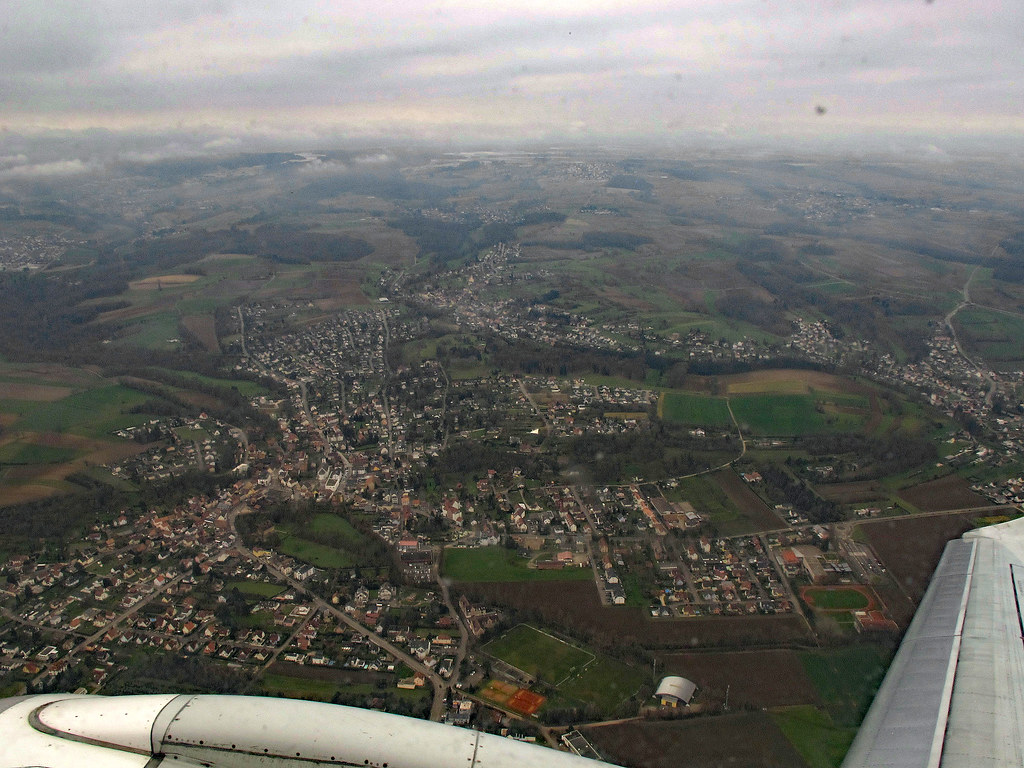
Photos Tagolsheim
|
See all photos of Tagolsheim :
Other photos of Tagolsheim and nearby towns can be found here: photos Tagolsheim
|
|
Tagolsheim weather forecast
Find next hours and 7 days weather forecast for Tagolsheim here : weather Tagolsheim (with english metrics)
This is the last weather forecast for Tagolsheim collected by the nearest observation station of Altkirch.
Week Forecast:
The latest weather data for Tagolsheim were collected Wednesday, 02 July 2025 at 19:06 from the nearest observation station of Altkirch.
| Wednesday, July 2nd |
34°C 19°C
0%
19%
|
Mostly clear
Temperature Max: 34°C Temperature Min: 19°C
Precipitation Probability: 0%
Percentage of sky occluded by clouds: 19%
Wind speed: 5 km/h North-West
Humidity: 49%° UV Index: 9
Sunrise: 05:38 Sunset: 21:32 |
|
| | Thursday, July 3rd |
26°C 20°C
53%
75%
|
Thunderstorms
Temperature Max: 26°C Temperature Min: 20°C
Precipitation Probability: 53% (Rain)
Percentage of sky occluded by clouds: 75%
Wind speed: 8 km/h South
Humidity: 67%° UV Index: 5
Sunrise: 05:38 Sunset: 21:31 |
|
| | Friday, July 4th |
27°C 17°C
0%
8%
|
Clear
Temperature Max: 27°C Temperature Min: 17°C
Precipitation Probability: 0%
Percentage of sky occluded by clouds: 8%
Wind speed: 10 km/h Sout-East
Humidity: 45%° UV Index: 8
Sunrise: 05:39 Sunset: 21:31 |
|
| | Saturday, July 5th |
29°C 14°C
0%
39%
|
Partly cloudy
Temperature Max: 29°C Temperature Min: 14°C
Precipitation Probability: 0%
Percentage of sky occluded by clouds: 39%
Wind speed: 8 km/h East
Humidity: 43%° UV Index: 8
Sunrise: 05:40 Sunset: 21:31 |
|
|
Attribution: 
|
|
Other maps, hotels and towns in france
Find another town, zip code, department, region, ...
Quick links Tagolsheim :
Make a link to this page of Tagolsheim with the following code :
|
|
|
 French Version : http://www.cartesfrance.fr/carte-france-ville/68332_Tagolsheim.html