Tende on the relief France map in Lambert 93 coordinates
|

See the map of Tende in full screen (1000 x 949)
|
At left, here is the location of Tende on the relief France map in Lambert 93 coordinates.
Here are the altitudes of Tende :
- Town hall altitude of Tende is 820 meters
- Minimum altitude of Tende is 552 meters
- Maximum altitude of Tende is 2 920 meters
- Medium altitude of Tende is 1 736 meters
Here are the altitudes of Nice, prefecture of Alpes-Maritimes department:
- Town hall altitude of Nice is 10 meters
- Minimum altitude of Nice is 0 meters
- Maximum altitude of Nice is 520 meters
- Medium altitude of Nice is 260 meters
Here are the altitudes of the french biggest cities:
Paris : 33 meters
Marseille : 20 meters
Lyon : 237 meters
Toulouse : 146 meters
Nice : 10 meters
Nantes : 20 meters
Strasbourg : 144 meters
Montpellier : 35 meters
Bordeaux : 16 meters
Lille : 20 meters
Rennes : 35 meters
Reims : 83 meters
Click here for the terrain map of Tende in full screen:
Relief map of Tende
|
This relief map of Tende is reusable and modifiable by making a link to this page of the Map-France.com website or by using the given code :
|
Terrain base map of Tende
|

See the terrain base map of Tende in full screen (1000 x 949)
|
Small relief base map of Tende
|
This base map of Tende is reusable and modifiable by making a link to this page of the Map-France.com website or by using the given code :
|
Map of Tende with regions and prefectures
|
View the map of Tende in full screen (1000 x 949)
|
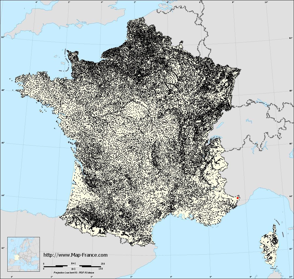
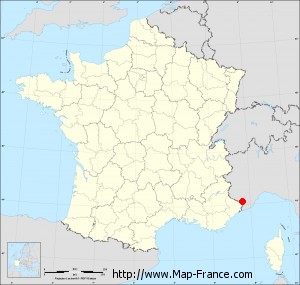
You will find the location of Tende on the map of France of regions in Lambert 93 coordinates. The city of Tende is located in the department of Alpes-Maritimes of the french region Provence-Alpes-Côte d'Azur.
Geographical sexagesimal coordinates / GPS (WGS84):
Latitude: 44° 05' 16'' North
Longitude: 07° 35' 37'' East
Geographical decimal coordinates :
Latitude: 44.086 degrees (44.086° North)
Longitude: 7.593 degrees (7.593° East)
Lambert 93 coordinates :
X: 10 677 hectometers
Y: 63 428 hectometers
Lambert 2 coordinates :
X: 10 211 hectometers
Y: 19 126 hectometers
Below, the geographical coordinates of Nice, prefecture of the Alpes-Maritimes department:
Geographical sexagesimal coordinates / GPS (WGS84):
Latitude: 43° 42' 07'' North
Longitude: 07° 16' 06'' East
Geographical decimal coordinates :
Latitude: 43.706 degrees (43.706° North)
Longitude: 7.262 degrees (7.262° East)
Lambert 93 coordinates :
X: 10 440 hectometers
Y: 62 985 hectometers
Lambert 2 coordinates :
X: 9 978 hectometers
Y: 18 680 hectometers
|
This map of Tende is reusable and modifiable by making a link to this page of the Map-France.com website or by using the given code :
|
Map of Tende with departments and prefectures
|
Voir la carte of Tende en grand format (1000 x 949)
|
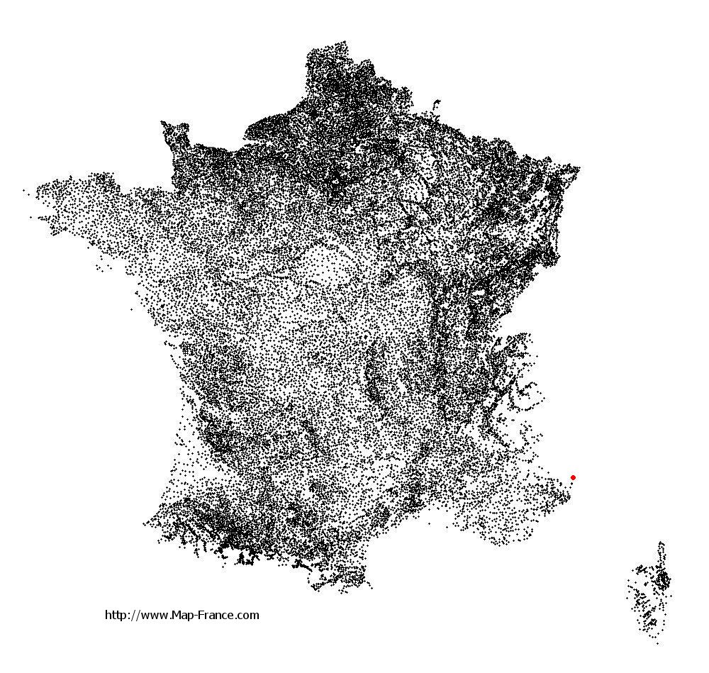
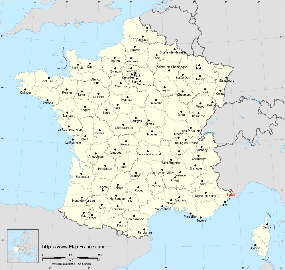
Here is the localization of Tende on the France map of departments in Lambert 93 coordinates. The city of Tende is shown on the map by a red point.
The city of Tende is located in the department of Alpes-Maritimes of the french region Provence-Alpes-Côte d'Azur.
The latitude of Tende is 44.086 degrees North.
The longitude of Tende is 7.593 degrees East.
Here the distance between Tende and the biggest cities of France:
Distances are calculated as the crow flies (orthodromic distance)
Distance between Tende and Paris : 664.97 kilometers
Distance between Tende and Marseille : 196.80 kilometers
Distance between Tende and Lyon : 285.74 kilometers
Distance between Tende and Toulouse : 495.08 kilometers
Distance between Tende and Nice : 49.84 kilometers
Distance between Tende and Nantes : 790.42 kilometers
Distance between Tende and Strasbourg : 499.95 kilometers
Distance between Tende and Montpellier : 302.64 kilometers
Distance between Tende and Bordeaux : 652.84 kilometers
Distance between Tende and Lille : 803.06 kilometers
Distance between Tende and Rennes : 841.82 kilometers
Distance between Tende and Reims : 635.38 kilometers
Clic here to see the map of Tende in full screen:
Tende on the map of french departments
|
This administrative map of Tende is reusable and modifiable by making a link to this page of the Map-France.com website or by using the given code :
|
Administrative base maps of Tende
|

See the administrative base map of Tende in full screen (1000 x 949)
|
Small administrative base map of Tende
|
This base map administrative of Tende is reusable and modifiable by making a link to this page of the Map-France.com website or by using the given code :
|
 French Version : http://www.cartesfrance.fr