|
The village of Valfleury is a small village located south east of France. The town of Valfleury is located in the department of Loire of the french region Rhône-Alpes. The town of Valfleury is located in the township of La Grand-Croix part of the district of Saint-Étienne. The area code for Valfleury is 42320 (also known as code INSEE), and the Valfleury zip code is 42320.
Geography and map of Valfleury :
The altitude of the city hall of Valfleury is approximately 650 meters. The Valfleury surface is 8.77 km ². The latitude and longitude of Valfleury are 45.523 degrees North and 4.493 degrees East.
Nearby cities and towns of Valfleury are :
Saint-Christo-en-Jarez (42320) at 2.40 km, Cellieu (42320) at 3.82 km, Saint-Romain-en-Jarez (42800) at 4.89 km, Chagnon (42800) at 4.92 km, Sorbiers (42290) at 5.03 km, Fontanès (42140) at 5.22 km, Marcenod (42140) at 5.64 km, La Grand-Croix (42320) at 5.66 km.
(The distances to these nearby towns of Valfleury are calculated as the crow flies)
Population and housing of Valfleury :
The population of Valfleury was 519 in 1999, 584 in 2006 and 606 in 2007. The population density of Valfleury is 69.10 inhabitants per km². The number of housing of Valfleury was 245 in 2007. These homes of Valfleury consist of 209 main residences, 19 second or occasional homes and 17 vacant homes. |
|
|
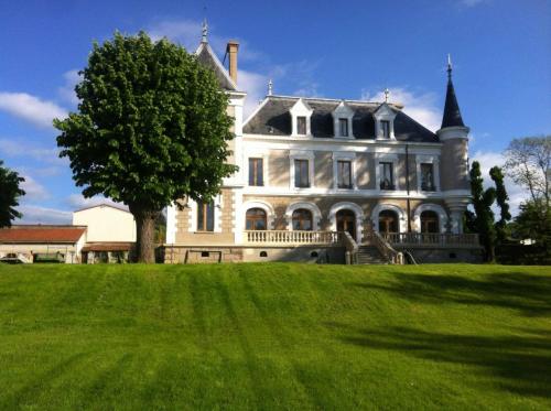
Hotel Valfleury
|
|
|
Book now ! Best Price Guaranteed, no booking fees, pay at the hotel with our partner Booking.com, leader in online hotel reservation.
Find all hotels of Valfleury : Hotel Valfleury
| |
|
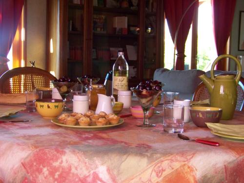
Bed and Breakfast : Croix Blanche

Croix Blanche is an authentic B&B in Cellieu offering panoramic valley views from the south-facing garden and direct access to the GR7 hiking trail. Homemade products including ...
Rate : from 75.00 €
Address : Les Ayats 42320 Cellieu
Distance Bed and Breakfast - Valfleury : 0.77 km
|
|
|
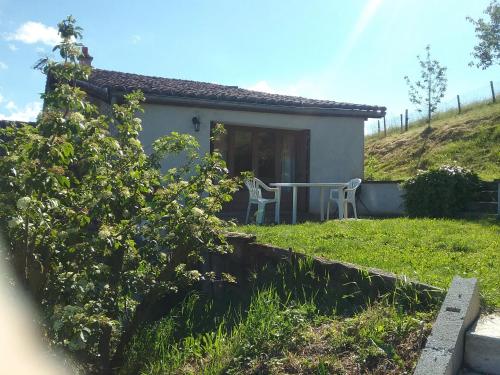
Guest accommodation : Le chapis
Le chapis is a double with a garden, situated in Saint-Chamond. The property boasts views of the mountain and is 39 km from Lyon. The kitchenette is fitted with a toaster. A fl...
Price : from 45.00 €
Contact : Boucharlon 42400 Saint-Chamond
Distance Guest accommodation - Valfleury : 2.21 km
|
|
|
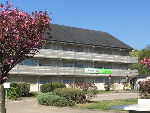
Hotel : Campanile Saint-Etienne Est- Saint-Chamond

Located in Saint-Chamond, 45 km from Lyon, Campanile Saint-Etienne Est- Saint-Chamond features a restaurant, bar and free high-speed WiFi throughout the property. Free private p...
Prices : from 45.00 €
to 95.00 €
Contact : Zac Du Bourdon 42400 Saint-Chamond
Distance Hotel - Valfleury : 4.03 km
|
|
|
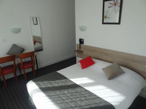
Hotel : Les Ambassadeurs
Les Ambassadeurs is a 2-star property located in Saint-Chamond. Each accommodation at the 2-star hotel has city views and free WiFi. Guests can enjoy a selection of French cuisi...
Rate : from 67.00 €
to 77.00 €
Contact : 28 avenue de la libération 42400 Saint-Chamond
Distance Hotel - Valfleury : 5.85 km
|
|

|
Hotel : hotelF1 Saint Etienne Est La Grand Croix
Hotel F1 Saint Etienne Est La Grand Croix is located in Saint-Chamond. This hotel features laundry services, a shared kitchen area with a microwave and a hot and cold drinks mac...
Price : from 28.89 €
to 37.45 €
Address : 251 rue de la Peronniere 42320 La Grand Croix
Distance Hotel - Valfleury : 5.97 km
|
|

|
Set in a 7000 m² garden in the town of L’Horme, this 3-star hotel offers rooms with free Wi-Fi and views of the park or the valley. Pilat Natural Regional Park is 3 km away. A ...
Prices : from 67.00 €
to 99.00 €
Contact : 1 Rue du Puits Gillier 42152 LʼHorme
Distance Hotel - Valfleury : 6.13 km
|
|
|
Hotel : Hôtel Restaurant éclosion
Hôtel Restaurant éclosion in Saint-Paul-en-Jarez has a garden and a terrace. The property features a restaurant. With a private bathroom equipped with a bath or shower and free...
Rate : from 61.00 €
to 225.00 €
Contact : 40 Avenue du Château 42740 Saint-Paul-en-Jarez
Distance Hotel - Valfleury : 6.67 km
|
|
|
Guest accommodation : Le Mas de la Talaudière
Offering an outdoor pool, Le Mas de la Talaudière is located in La Talaudière. Free WiFi access is available. This guest house is 6 km from Saint-Etienne. The double room featu...
Price : from 62.00 €
to 85.50 €
Contact : 6, Rue Pierre Mendès 42350 La Talaudière
Distance Guest accommodation - Valfleury : 6.96 km
|
|
|
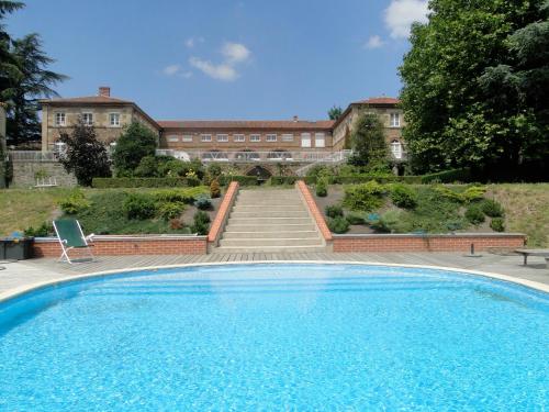
Bed and Breakfast : Logis de Nantas
Set in the former orangery of the Château de Nantas, Logis de Nantas offers a heated swimming pool, a spa, a gym, and Wi-Fi is free of charge in the entire property. It is 2 km ...
Prices : from 210.00 €
Address : 398 rue du Crêt Beauplomb- Château de Nantas 42650 Saint-Jean-Bonnefonds
Distance Bed and Breakfast - Valfleury : 8.56 km
|
|
|
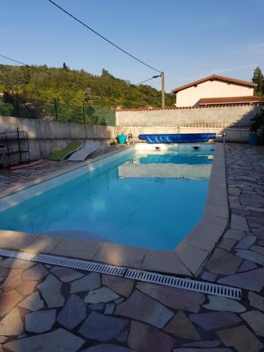
Guest accommodation : Chantelézard
Featuring a seasonal outdoor swimming pool and free WiFi, Chantelézard is situated in Saint-Martin-la-Plaine. Guests can make use of a garden. A continental breakfast can be se...
Rate : from 37.00 €
to 40.00 €
Contact : 30 Coursière de Chantelezard 42800 Saint-Martin-la-Plaine
Distance Guest accommodation - Valfleury : 8.97 km
|
|
Find another hotel near Valfleury : Valfleury hotels list
|
Map of Valfleury
|
|
Map of Valfleury :
At right you can find the localization of Valfleury on the map of France. Below, this is the satellite map of Valfleury. A road map, and maps templates of Valfleury are available here : "road map of Valfleury". This map show Valfleury seen by the satellite of Google Map. To see the streets of Valfleury or move on another zone, use the buttons "zoom" and "map" on top of this dynamic map.
Search on the map of Valfleury :
To search hotels, housings, tourist information office, administrations or other services, use the Google search integrated to the map on the following page : "map Valfleury".
Hotels of Valfleury are listed on the map with the following icons: 
The map of Valfleury is centred in the following coordinates :
|

|
|
|
|
Print the map of Valfleury

Print the map of Valfleury : map of Valfleury
|
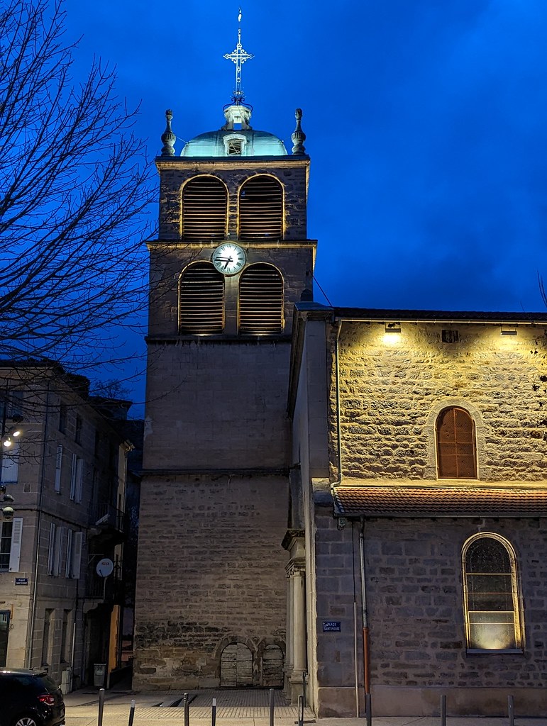
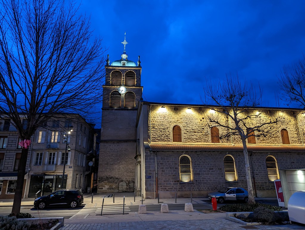
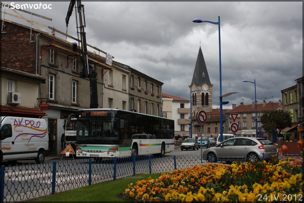
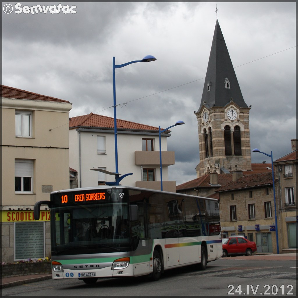
Photos Valfleury
|
See all photos of Valfleury :
Other photos of Valfleury and nearby towns can be found here: photos Valfleury
|
|
Valfleury weather forecast
Find next hours and 7 days weather forecast for Valfleury here : weather Valfleury (with english metrics)
This is the last weather forecast for Valfleury collected by the nearest observation station of La Grand-Croix.
Week Forecast:
The latest weather data for Valfleury were collected Friday, 18 July 2025 at 19:04 from the nearest observation station of La Grand-Croix.
| Friday, July 18th |
31°C 16°C
0%
51%
|
Partly cloudy
Temperature Max: 31°C Temperature Min: 16°C
Precipitation Probability: 0%
Percentage of sky occluded by clouds: 51%
Wind speed: 7 km/h Sout-East
Humidity: 44%° UV Index: 7
Sunrise: 06:10 Sunset: 21:25 |
|
| | Saturday, July 19th |
24°C 19°C
70%
89%
|
Thunderstorms
Temperature Max: 24°C Temperature Min: 19°C
Precipitation Probability: 70% (Rain)
Percentage of sky occluded by clouds: 89%
Wind speed: 9 km/h West
Humidity: 74%° UV Index: 4
Sunrise: 06:11 Sunset: 21:24 |
|
| | Sunday, July 20th |
29°C 17°C
61%
71%
|
Rain
Temperature Max: 29°C Temperature Min: 17°C
Precipitation Probability: 61% (Rain)
Percentage of sky occluded by clouds: 71%
Wind speed: 9 km/h North
Humidity: 64%° UV Index: 6
Sunrise: 06:12 Sunset: 21:23 |
|
| | Monday, July 21st |
25°C 16°C
74%
30%
|
Rain
Temperature Max: 25°C Temperature Min: 16°C
Precipitation Probability: 74% (Rain)
Percentage of sky occluded by clouds: 30%
Wind speed: 14 km/h East
Humidity: 59%° UV Index: 7
Sunrise: 06:13 Sunset: 21:22 |
|
|
Attribution: 
|
|
Other maps, hotels and towns in france
Find another town, zip code, department, region, ...
Quick links Valfleury :
Make a link to this page of Valfleury with the following code :
|
|
|
 French Version : http://www.cartesfrance.fr/carte-france-ville/42320_Valfleury.html