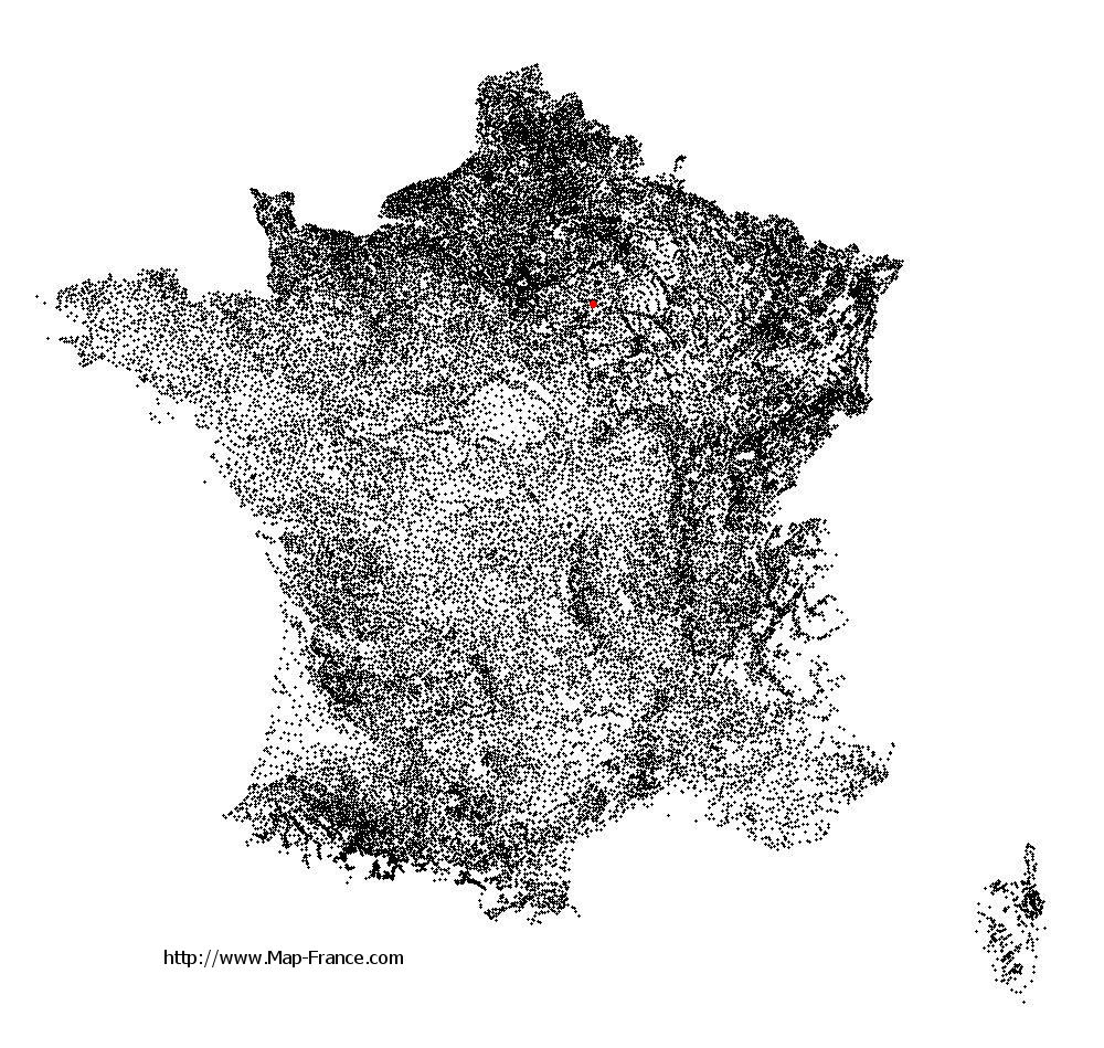
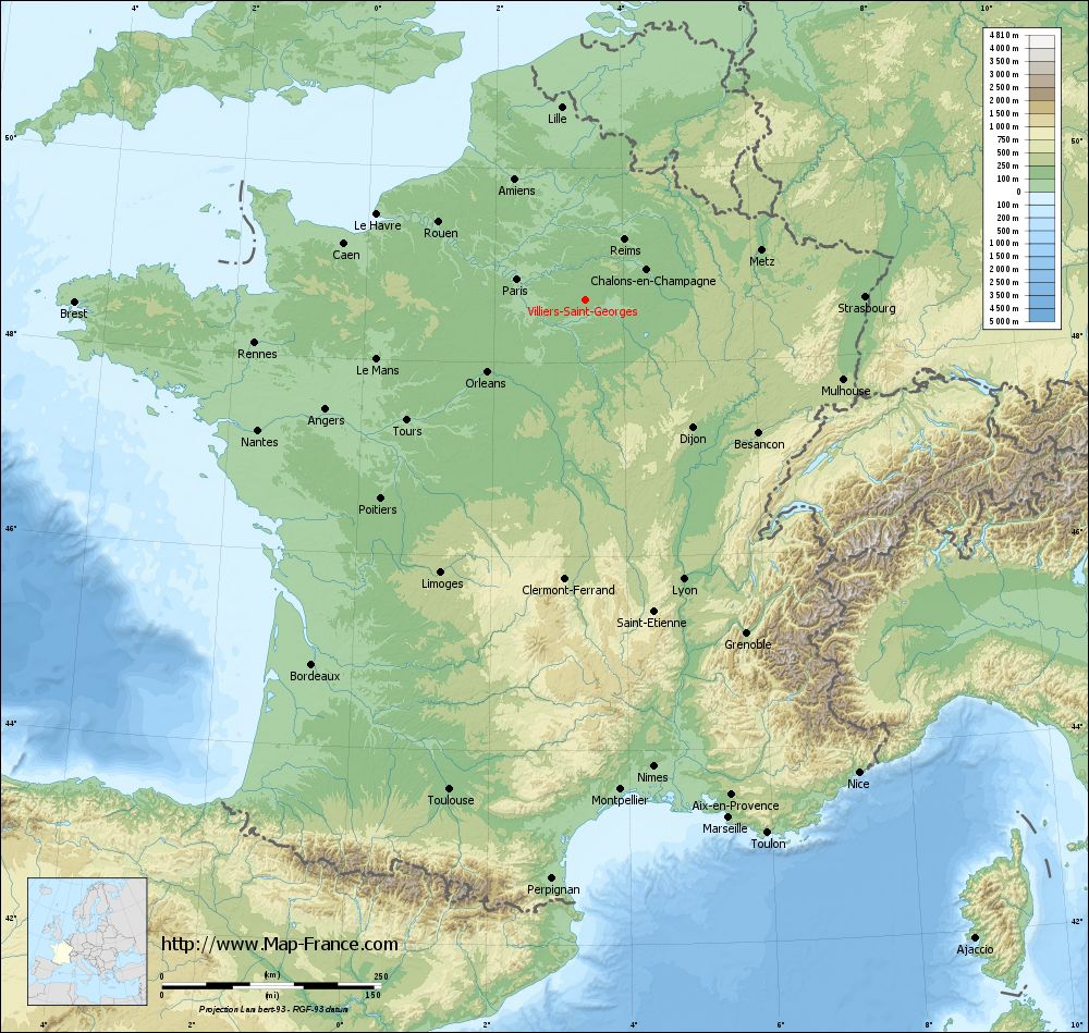
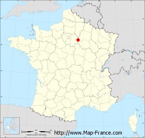
Villiers-Saint-Georges on the relief France map in Lambert 93 coordinates
|
See the map of Villiers-Saint-Georges in full screen (1000 x 949)
|
At left, here is the location of Villiers-Saint-Georges on the relief France map in Lambert 93 coordinates.
Here are the altitudes of Villiers-Saint-Georges :
- Town hall altitude of Villiers-Saint-Georges is 152 meters
- Minimum altitude of Villiers-Saint-Georges is 140 meters
- Maximum altitude of Villiers-Saint-Georges is 191 meters
- Medium altitude of Villiers-Saint-Georges is 166 meters
Here are the altitudes of Melun, prefecture of Seine-et-Marne department:
- Town hall altitude of Melun is 50 meters
- Minimum altitude of Melun is 37 meters
- Maximum altitude of Melun is 102 meters
- Medium altitude of Melun is 70 meters
Here are the altitudes of the french biggest cities:
Paris : 33 meters
Marseille : 20 meters
Lyon : 237 meters
Toulouse : 146 meters
Nice : 10 meters
Nantes : 20 meters
Strasbourg : 144 meters
Montpellier : 35 meters
Bordeaux : 16 meters
Lille : 20 meters
Rennes : 35 meters
Reims : 83 meters
Click here for the terrain map of Villiers-Saint-Georges in full screen:
Relief map of Villiers-Saint-Georges
|
This relief map of Villiers-Saint-Georges is reusable and modifiable by making a link to this page of the Map-France.com website or by using the given code :
|
Terrain base map of Villiers-Saint-Georges
|
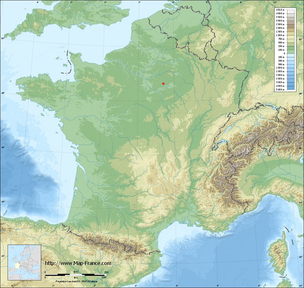
See the terrain base map of Villiers-Saint-Georges in full screen (1000 x 949)
|
Small relief base map of Villiers-Saint-Georges

|
This base map of Villiers-Saint-Georges is reusable and modifiable by making a link to this page of the Map-France.com website or by using the given code :
|
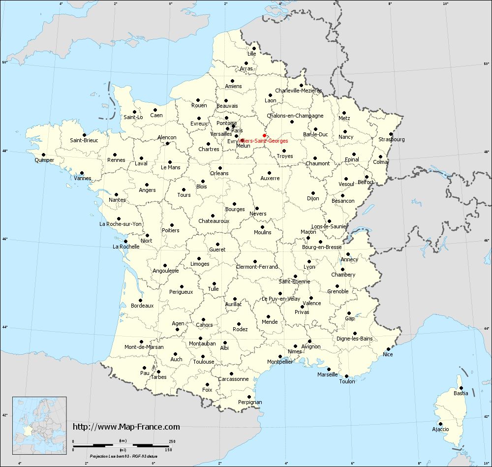
Map of Villiers-Saint-Georges with regions and prefectures
|
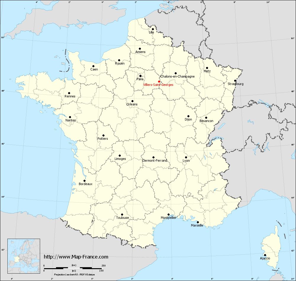
View the map of Villiers-Saint-Georges in full screen (1000 x 949)
|
You will find the location of Villiers-Saint-Georges on the map of France of regions in Lambert 93 coordinates. The town of Villiers-Saint-Georges is located in the department of Seine-et-Marne of the french region Île-de-France.
Geographical sexagesimal coordinates / GPS (WGS84):
Latitude: 48° 38' 56'' North
Longitude: 03° 24' 24'' East
Geographical decimal coordinates :
Latitude: 48.651 degrees (48.651° North)
Longitude: 3.406 degrees (3.406° East)
Lambert 93 coordinates :
X: 7 300 hectometers
Y: 68 388 hectometers
Lambert 2 coordinates :
X: 6 789 hectometers
Y: 24 061 hectometers
Below, the geographical coordinates of Melun, prefecture of the Seine-et-Marne department:
Geographical sexagesimal coordinates / GPS (WGS84):
Latitude: 48° 32' 23'' North
Longitude: 02° 39' 33'' East
Geographical decimal coordinates :
Latitude: 48.541 degrees (48.541° North)
Longitude: 2.657 degrees (2.657° East)
Lambert 93 coordinates :
X: 6 748 hectometers
Y: 68 267 hectometers
Lambert 2 coordinates :
X: 6 238 hectometers
Y: 23 935 hectometers
|
This map of Villiers-Saint-Georges is reusable and modifiable by making a link to this page of the Map-France.com website or by using the given code :
|
Map of Villiers-Saint-Georges with departments and prefectures
|
Voir la carte of Villiers-Saint-Georges en grand format (1000 x 949)
|
Here is the localization of Villiers-Saint-Georges on the France map of departments in Lambert 93 coordinates. The city of Villiers-Saint-Georges is shown on the map by a red point.
The town of Villiers-Saint-Georges is located in the department of Seine-et-Marne of the french region Île-de-France.
The latitude of Villiers-Saint-Georges is 48.651 degrees North.
The longitude of Villiers-Saint-Georges is 3.406 degrees East.
Here the distance between Villiers-Saint-Georges and the biggest cities of France:
Distances are calculated as the crow flies (orthodromic distance)
Distance between Villiers-Saint-Georges and Paris : 81.07 kilometers
Distance between Villiers-Saint-Georges and Marseille : 614.33 kilometers
Distance between Villiers-Saint-Georges and Lyon : 338.82 kilometers
Distance between Villiers-Saint-Georges and Toulouse : 580.98 kilometers
Distance between Villiers-Saint-Georges and Nice : 624.18 kilometers
Distance between Villiers-Saint-Georges and Nantes : 401.90 kilometers
Distance between Villiers-Saint-Georges and Strasbourg : 319.55 kilometers
Distance between Villiers-Saint-Georges and Montpellier : 561.35 kilometers
Distance between Villiers-Saint-Georges and Bordeaux : 520.26 kilometers
Distance between Villiers-Saint-Georges and Lille : 221.21 kilometers
Distance between Villiers-Saint-Georges and Rennes : 380.08 kilometers
Distance between Villiers-Saint-Georges and Reims : 81.45 kilometers
Clic here to see the map of Villiers-Saint-Georges in full screen:
Villiers-Saint-Georges on the map of french departments
|
This administrative map of Villiers-Saint-Georges is reusable and modifiable by making a link to this page of the Map-France.com website or by using the given code :
|
Administrative base maps of Villiers-Saint-Georges
|

See the administrative base map of Villiers-Saint-Georges in full screen (1000 x 949)
|
Small administrative base map of Villiers-Saint-Georges
|
This base map administrative of Villiers-Saint-Georges is reusable and modifiable by making a link to this page of the Map-France.com website or by using the given code :
|
 French Version : http://www.cartesfrance.fr