|
The village of Wegscheid is a small village located north east of France. The town of Wegscheid is located in the department of Haut-Rhin of the french region Alsace. The town of Wegscheid is located in the township of Masevaux part of the district of Thann. The area code for Wegscheid is 68361 (also known as code INSEE), and the Wegscheid zip code is 68290.
Geography and map of Wegscheid :
The altitude of the city hall of Wegscheid is approximately 460 meters. The Wegscheid surface is 10.06 km ². The latitude and longitude of Wegscheid are 47.803 degrees North and 6.956 degrees East.
Nearby cities and towns of Wegscheid are :
Kirchberg (68290) at 0.57 km, Oberbruck (68290) at 1.19 km, Dolleren (68290) at 1.79 km, Niederbruck (68290) at 2.26 km, Sickert (68290) at 2.77 km, Rimbach-près-Masevaux (68290) at 2.89 km, Sewen (68290) at 3.85 km, Masevaux (68290) at 4.36 km.
(The distances to these nearby towns of Wegscheid are calculated as the crow flies)
Population and housing of Wegscheid :
The population of Wegscheid was 304 in 1999, 331 in 2006 and 331 in 2007. The population density of Wegscheid is 32.90 inhabitants per km². The number of housing of Wegscheid was 151 in 2007. These homes of Wegscheid consist of 125 main residences, 18 second or occasional homes and 8 vacant homes. |
|
|
Hotel Wegscheid
|
|
|
Book now ! Best Price Guaranteed, no booking fees, pay at the hotel with our partner Booking.com, leader in online hotel reservation.
Find all hotels of Wegscheid : Hotel Wegscheid
| |
|
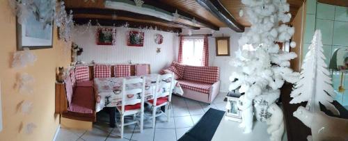
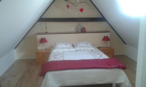
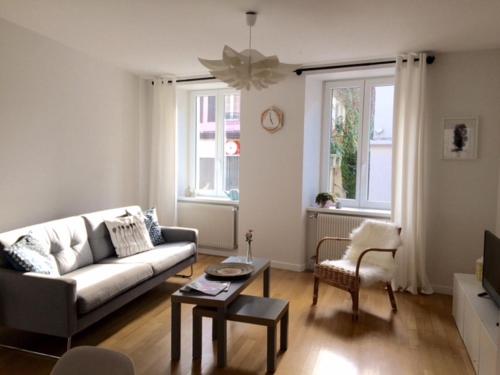
Apartment : Gite Loredana

Offering free WiFi and mountain views, Gite Loredana is an accommodation situated in Kirchberg. This apartment features air-conditioned accommodation with a terrace. This apart...
Address : 4 rue holzmatten 68290 Kirchberg
Distance Apartment - Wegscheid : 0.60 km
|
|
|
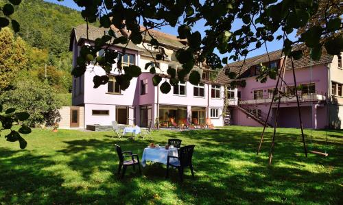
Guest accommodation : Gîte "La Bergerie"- Chalet indépendant
Set in Masevaux, Gîte "La Bergerie"- Chalet indépendant features accommodation with a terrace and free WiFi. Including barbecue facilities, this holiday home also has ...
Contact : 61 rue Hecken 68290 Masevaux
Distance Guest accommodation - Wegscheid : 0.95 km
|
|
|
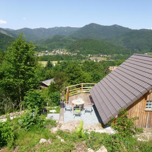
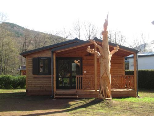
Guest accommodation : Evasion Nature
Featuring accommodation with a private pool, mountain view and a terrace, Evasion Nature is located in Oberbruck. Guests are welcome to enjoy the free WiFi. Comprising of 2 bed...
Prices : from 200.00 €
Contact : 17 Rue de la Renardiere 68290 Oberbruck
Distance Guest accommodation - Wegscheid : 0.96 km
|
|
|
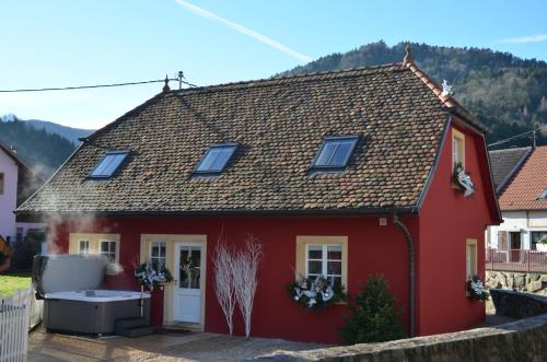
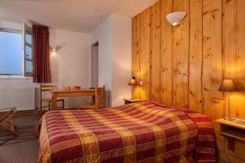
Hotel : Logis Hotel Des Vosges
The Logis de France Hôtel des Vosges is an Alsatian family residence located 19 km from Belfort Fontaine Airport. It offers en-suite guestrooms with TV and free Wi-Fi. The Hote...
Rate : from 95.00 €
to 140.00 €
Contact : 38, Grand'rue 68290 Sewen
Distance Hotel - Wegscheid : 3.10 km
|
|
|
Guest accommodation : Camping Les Rives de la Doller
With garden views, Camping Les Rives de la Doller is situated in Masevaux and has accommodation with a kitchenette. Complimentary WiFi is offered. All units are fitted with a m...
Address : 3 rue du Stade 68290 Masevaux
Distance Guest accommodation - Wegscheid : 3.77 km
|
|
|
Guest accommodation : Gîte de la Doller
Situated in Sewen, 5 km from Le Schlumpf – Dolleren, Gîte de la Doller features a garden with a barbecue, and free WiFi. The accommodation is 9 km from the Ballon d'Alsace. Pro...
Contact : 4, rue Gaessel 68290 Sewen
Distance Guest accommodation - Wegscheid : 3.83 km
|
|
|
Guest accommodation : La Petite Maison dans la Vallée
La Petite Maison dans la Vallée offers accommodation in Sewen, 6 km from Le Schlumpf – Dolleren and 10 km from Ballon d'Alsace. Guests staying at this holiday home have access t...
Contact : 11 Rue Elbach 68290 Sewen
Distance Guest accommodation - Wegscheid : 4.21 km
|
|
|
Guest accommodation : L'écrin de Masevaux
Set in Masevaux, this holiday home is 43 km from Colmar. The unit is 34 km from Gérardmer. Free WiFi is available . The kitchen has a dishwasher and an oven, as well as a coffe...
Price : from 160.00 €
to 170.00 €
Contact : 22 rue du Maréchal Foch 68290 Masevaux
Distance Guest accommodation - Wegscheid : 4.24 km
|
|
|
Hotel : Logis Le Rouge Gazon
Rouge Gazon is a Logis chain hotel and ski station. Free Wi-Fi in public areas and free public parking are available. Rouge Gazon’s rooms are equipped with a shower or bath an...
Prices : from 88.00 €
to 121.00 €
Address : A 11 Km Sur D.90 (Altitude 1260 M.). 88560 Saint-Maurice-sur-Moselle
Distance Hotel - Wegscheid : 6.42 km
|
|
|
Guest accommodation : Gite S'Hiesla
Located 7 km from Thann Train Station, this 2-bedroom holiday home offers a large garden and a terrace with views of the woods. Gite Le S'Hiesla features exposed beams and a sat...
Contact : 6 rue du Commando de Cluny 68800 Rammersmatt
Distance Guest accommodation - Wegscheid : 8.52 km
|
|
Find another hotel near Wegscheid : Wegscheid hotels list
|
Map of Wegscheid
|
|
Map of Wegscheid :
At right you can find the localization of Wegscheid on the map of France. Below, this is the satellite map of Wegscheid. A road map, and maps templates of Wegscheid are available here : "road map of Wegscheid". This map show Wegscheid seen by the satellite of Google Map. To see the streets of Wegscheid or move on another zone, use the buttons "zoom" and "map" on top of this dynamic map.
Search on the map of Wegscheid :
To search hotels, housings, tourist information office, administrations or other services, use the Google search integrated to the map on the following page : "map Wegscheid".
Hotels of Wegscheid are listed on the map with the following icons: 
The map of Wegscheid is centred in the following coordinates :
|

|
|
|
|
Print the map of Wegscheid

Print the map of Wegscheid : map of Wegscheid
|
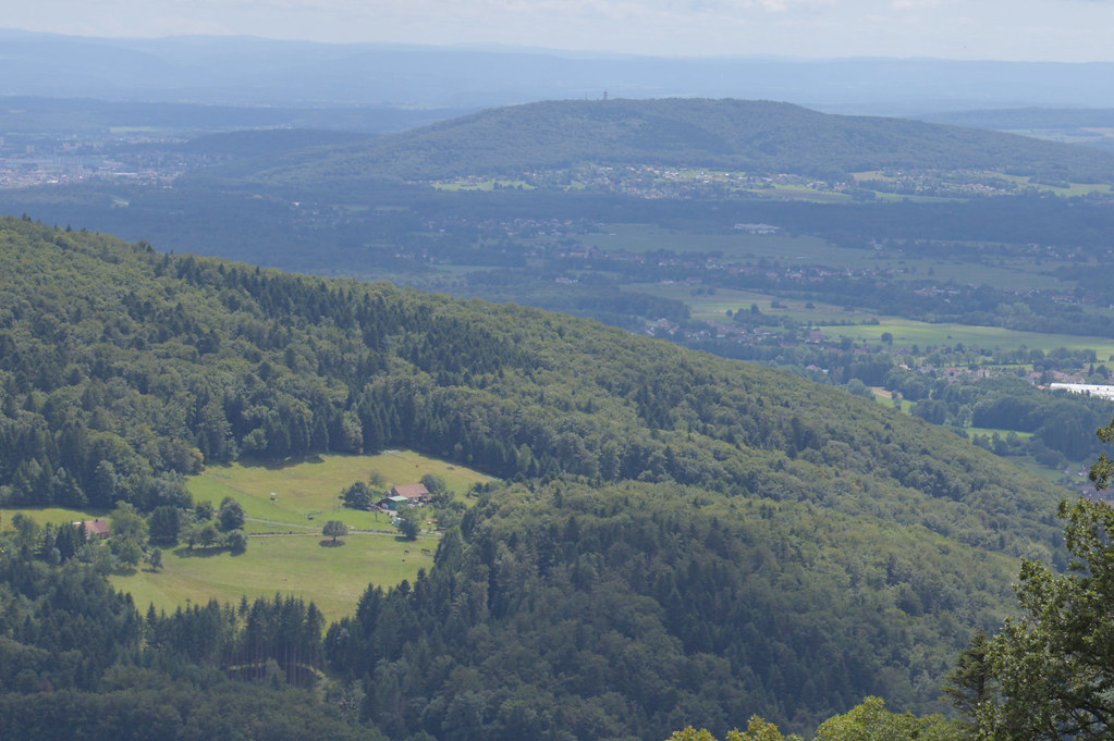
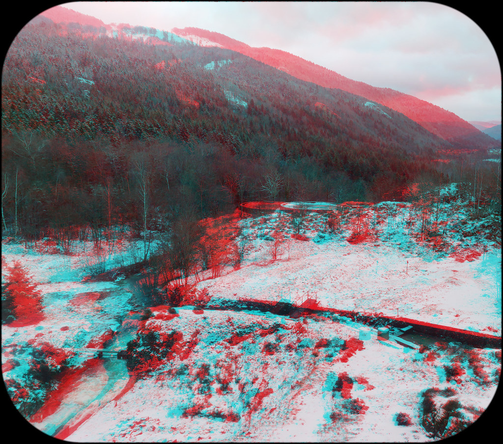
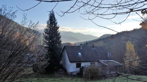
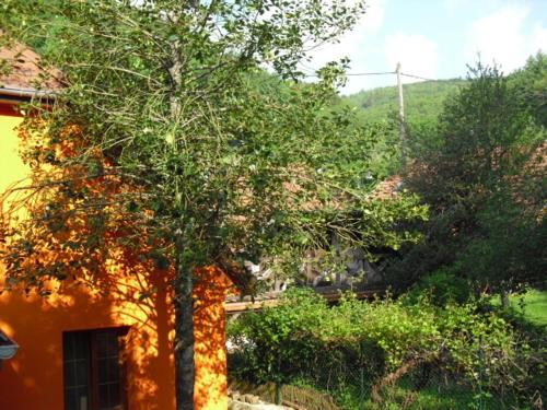
Photos Wegscheid
|
See all photos of Wegscheid :
Other photos of Wegscheid and nearby towns can be found here: photos Wegscheid
|
|
Wegscheid weather forecast
Find next hours and 7 days weather forecast for Wegscheid here : weather Wegscheid (with english metrics)
This is the last weather forecast for Wegscheid collected by the nearest observation station of Masevaux.
Week Forecast:
The latest weather data for Wegscheid were collected Monday, 30 June 2025 at 19:05 from the nearest observation station of Masevaux.
| Monday, June 30th |
33°C 19°C
53%
14%
|
Mostly clear
Temperature Max: 33°C Temperature Min: 19°C
Precipitation Probability: 53% (Rain)
Percentage of sky occluded by clouds: 14%
Wind speed: 8 km/h West
Humidity: 47%° UV Index: 9
Sunrise: 05:37 Sunset: 21:34 |
|
| | Tuesday, July 1st |
33°C 20°C
53%
24%
|
Mostly clear
Temperature Max: 33°C Temperature Min: 20°C
Precipitation Probability: 53% (Rain)
Percentage of sky occluded by clouds: 24%
Wind speed: 6 km/h East
Humidity: 47%° UV Index: 8
Sunrise: 05:37 Sunset: 21:34 |
|
| | Wednesday, July 2nd |
33°C 20°C
46%
16%
|
Mostly clear
Temperature Max: 33°C Temperature Min: 20°C
Precipitation Probability: 46% (Rain)
Percentage of sky occluded by clouds: 16%
Wind speed: 6 km/h West
Humidity: 45%° UV Index: 9
Sunrise: 05:38 Sunset: 21:33 |
|
| | Thursday, July 3rd |
31°C 20°C
42%
33%
|
Mostly clear
Temperature Max: 31°C Temperature Min: 20°C
Precipitation Probability: 42% (Rain)
Percentage of sky occluded by clouds: 33%
Wind speed: 5 km/h East
Humidity: 52%° UV Index: 8
Sunrise: 05:39 Sunset: 21:33 |
|
|
Attribution: 
|
|
Other maps, hotels and towns in france
Find another town, zip code, department, region, ...
Quick links Wegscheid :
Make a link to this page of Wegscheid with the following code :
|
|
|
 French Version : http://www.cartesfrance.fr/carte-france-ville/68361_Wegscheid.html