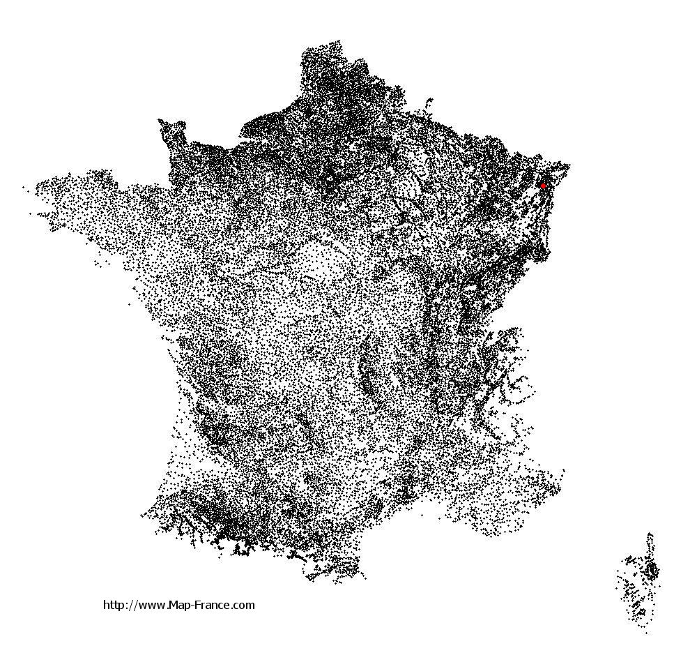
Wintzenheim-Kochersberg on the relief France map in Lambert 93 coordinates
|

See the map of Wintzenheim-Kochersberg in full screen (1000 x 949)
|
At left, here is the location of Wintzenheim-Kochersberg on the relief France map in Lambert 93 coordinates.
Here are the altitudes of Wintzenheim-Kochersberg :
- Town hall altitude of Wintzenheim-Kochersberg is 240 meters
- Minimum altitude of Wintzenheim-Kochersberg is 210 meters
- Maximum altitude of Wintzenheim-Kochersberg is 343 meters
- Medium altitude of Wintzenheim-Kochersberg is 277 meters
Here are the altitudes of Strasbourg, prefecture of Bas-Rhin department:
- Town hall altitude of Strasbourg is 144 meters
- Minimum altitude of Strasbourg is 132 meters
- Maximum altitude of Strasbourg is 151 meters
- Medium altitude of Strasbourg is 142 meters
Here are the altitudes of the french biggest cities:
Paris : 33 meters
Marseille : 20 meters
Lyon : 237 meters
Toulouse : 146 meters
Nice : 10 meters
Nantes : 20 meters
Strasbourg : 144 meters
Montpellier : 35 meters
Bordeaux : 16 meters
Lille : 20 meters
Rennes : 35 meters
Reims : 83 meters
Click here for the terrain map of Wintzenheim-Kochersberg in full screen:
Relief map of Wintzenheim-Kochersberg
|
This relief map of Wintzenheim-Kochersberg is reusable and modifiable by making a link to this page of the Map-France.com website or by using the given code :
|
Terrain base map of Wintzenheim-Kochersberg
|

See the terrain base map of Wintzenheim-Kochersberg in full screen (1000 x 949)
|
Small relief base map of Wintzenheim-Kochersberg

|
This base map of Wintzenheim-Kochersberg is reusable and modifiable by making a link to this page of the Map-France.com website or by using the given code :
|
Map of Wintzenheim-Kochersberg with regions and prefectures
|
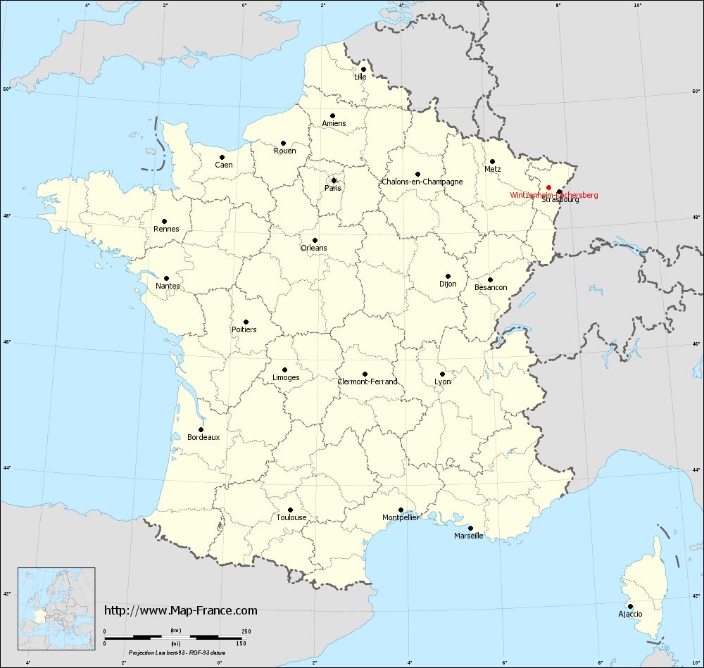
View the map of Wintzenheim-Kochersberg in full screen (1000 x 949)
|
You will find the location of Wintzenheim-Kochersberg on the map of France of regions in Lambert 93 coordinates. The town of Wintzenheim-Kochersberg is located in the department of Bas-Rhin of the french region Alsace.
Geographical sexagesimal coordinates / GPS (WGS84):
Latitude: 48° 39' 31'' North
Longitude: 07° 30' 45'' East
Geographical decimal coordinates :
Latitude: 48.659 degrees (48.659° North)
Longitude: 7.512 degrees (7.512° East)
Lambert 93 coordinates :
X: 10 322 hectometers
Y: 68 493 hectometers
Lambert 2 coordinates :
X: 9 812 hectometers
Y: 24 192 hectometers
Below, the geographical coordinates of Strasbourg, prefecture of the Bas-Rhin department:
Geographical sexagesimal coordinates / GPS (WGS84):
Latitude: 48° 35' 01'' North
Longitude: 07° 44' 53'' East
Geographical decimal coordinates :
Latitude: 48.584 degrees (48.584° North)
Longitude: 7.756 degrees (7.756° East)
Lambert 93 coordinates :
X: 10 500 hectometers
Y: 68 420 hectometers
Lambert 2 coordinates :
X: 9 991 hectometers
Y: 24 121 hectometers
|
This map of Wintzenheim-Kochersberg is reusable and modifiable by making a link to this page of the Map-France.com website or by using the given code :
|
Map of Wintzenheim-Kochersberg with departments and prefectures
|
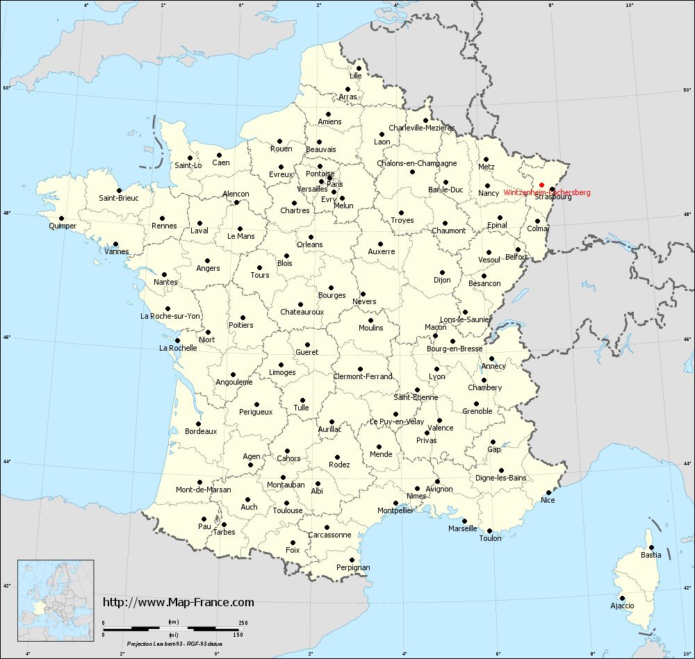
Voir la carte of Wintzenheim-Kochersberg en grand format (1000 x 949)
|
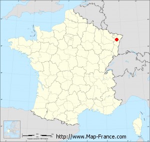
Here is the localization of Wintzenheim-Kochersberg on the France map of departments in Lambert 93 coordinates. The city of Wintzenheim-Kochersberg is shown on the map by a red point.
The town of Wintzenheim-Kochersberg is located in the department of Bas-Rhin of the french region Alsace.
The latitude of Wintzenheim-Kochersberg is 48.659 degrees North.
The longitude of Wintzenheim-Kochersberg is 7.512 degrees East.
Here the distance between Wintzenheim-Kochersberg and the biggest cities of France:
Distances are calculated as the crow flies (orthodromic distance)
Distance between Wintzenheim-Kochersberg and Paris : 378.95 kilometers
Distance between Wintzenheim-Kochersberg and Marseille : 617.54 kilometers
Distance between Wintzenheim-Kochersberg and Lyon : 380.17 kilometers
Distance between Wintzenheim-Kochersberg and Toulouse : 730.11 kilometers
Distance between Wintzenheim-Kochersberg and Nice : 550.62 kilometers
Distance between Wintzenheim-Kochersberg and Nantes : 693.02 kilometers
Distance between Wintzenheim-Kochersberg and Strasbourg : 19.74 kilometers
Distance between Wintzenheim-Kochersberg and Montpellier : 626.92 kilometers
Distance between Wintzenheim-Kochersberg and Bordeaux : 746.85 kilometers
Distance between Wintzenheim-Kochersberg and Lille : 388.68 kilometers
Distance between Wintzenheim-Kochersberg and Rennes : 680.62 kilometers
Distance between Wintzenheim-Kochersberg and Reims : 262.45 kilometers
Clic here to see the map of Wintzenheim-Kochersberg in full screen:
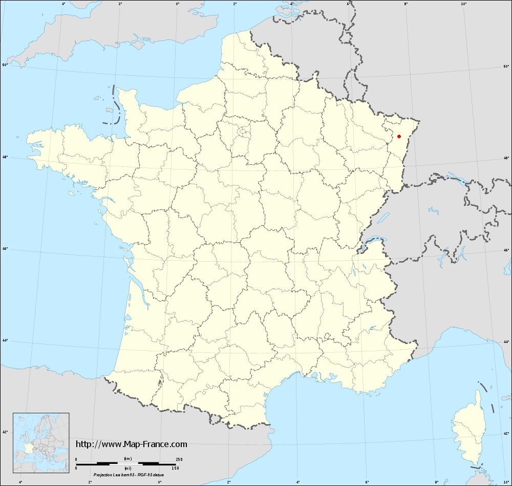
Wintzenheim-Kochersberg on the map of french departments
|
This administrative map of Wintzenheim-Kochersberg is reusable and modifiable by making a link to this page of the Map-France.com website or by using the given code :
|
Administrative base maps of Wintzenheim-Kochersberg
|
See the administrative base map of Wintzenheim-Kochersberg in full screen (1000 x 949)
|
Small administrative base map of Wintzenheim-Kochersberg
|
This base map administrative of Wintzenheim-Kochersberg is reusable and modifiable by making a link to this page of the Map-France.com website or by using the given code :
|
 French Version : http://www.cartesfrance.fr