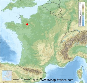
Bagnoles-de-l'Orne on the relief France map in Lambert 93 coordinates
|

See the map of Bagnoles-de-l'Orne in full screen (1000 x 949)
|
At left, here is the location of Bagnoles-de-l'Orne on the relief France map in Lambert 93 coordinates.
Here are the altitudes of Bagnoles-de-l'Orne :
- Town hall altitude of Bagnoles-de-l'Orne is 180 meters
- Minimum altitude of Bagnoles-de-l'Orne is 145 meters
- Maximum altitude of Bagnoles-de-l'Orne is 242 meters
- Medium altitude of Bagnoles-de-l'Orne is 194 meters
Here are the altitudes of Alençon, prefecture of Orne department:
- Town hall altitude of Alençon is 130 meters
- Minimum altitude of Alençon is 127 meters
- Maximum altitude of Alençon is 152 meters
- Medium altitude of Alençon is 140 meters
Here are the altitudes of the french biggest cities:
Paris : 33 meters
Marseille : 20 meters
Lyon : 237 meters
Toulouse : 146 meters
Nice : 10 meters
Nantes : 20 meters
Strasbourg : 144 meters
Montpellier : 35 meters
Bordeaux : 16 meters
Lille : 20 meters
Rennes : 35 meters
Reims : 83 meters
Click here for the terrain map of Bagnoles-de-l'Orne in full screen:
Relief map of Bagnoles-de-l%27Orne
|
This relief map of Bagnoles-de-l'Orne is reusable and modifiable by making a link to this page of the Map-France.com website or by using the given code :
|
Terrain base map of Bagnoles-de-l'Orne
|

See the terrain base map of Bagnoles-de-l'Orne in full screen (1000 x 949)
|
Small relief base map of Bagnoles-de-l'Orne
|
This base map of Bagnoles-de-l'Orne is reusable and modifiable by making a link to this page of the Map-France.com website or by using the given code :
|
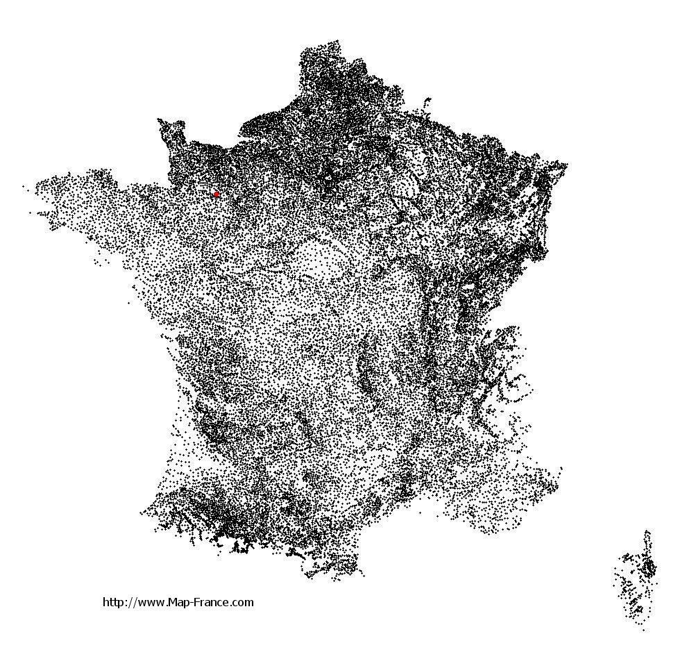
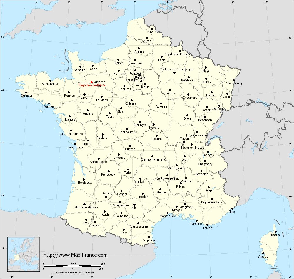
Map of Bagnoles-de-l'Orne with regions and prefectures
|
View the map of Bagnoles-de-l'Orne in full screen (1000 x 949)
|
You will find the location of Bagnoles-de-l'Orne on the map of France of regions in Lambert 93 coordinates. The city of Bagnoles-de-l'Orne is located in the department of Orne of the french region Basse-Normandie.
Geographical sexagesimal coordinates / GPS (WGS84):
Latitude: 48° 33' 18'' North
Longitude: 00° 24' 40'' West
Geographical decimal coordinates :
Latitude: 48.551 degrees (48.551° North)
Longitude: -0.425 degrees (0.425° West)
Lambert 93 coordinates :
X: 4 484 hectometers
Y: 68 337 hectometers
Lambert 2 coordinates :
X: 3 971 hectometers
Y: 23 987 hectometers
Below, the geographical coordinates of Alençon, prefecture of the Orne department:
Geographical sexagesimal coordinates / GPS (WGS84):
Latitude: 48° 25' 47'' North
Longitude: 00° 05' 31'' East
Geographical decimal coordinates :
Latitude: 48.433 degrees (48.433° North)
Longitude: 0.089 degrees (0.089° East)
Lambert 93 coordinates :
X: 4 849 hectometers
Y: 68 183 hectometers
Lambert 2 coordinates :
X: 4 339 hectometers
Y: 23 836 hectometers
|
This map of Bagnoles-de-l'Orne is reusable and modifiable by making a link to this page of the Map-France.com website or by using the given code :
|
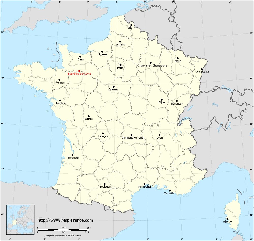
Map of Bagnoles-de-l'Orne with departments and prefectures
|
Voir la carte of Bagnoles-de-l'Orne en grand format (1000 x 949)
|
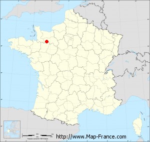
Here is the localization of Bagnoles-de-l'Orne on the France map of departments in Lambert 93 coordinates. The city of Bagnoles-de-l'Orne is shown on the map by a red point.
The city of Bagnoles-de-l'Orne is located in the department of Orne of the french region Basse-Normandie.
The latitude of Bagnoles-de-l'Orne is 48.551 degrees North.
The longitude of Bagnoles-de-l'Orne is 0.425 degrees West.
Here the distance between Bagnoles-de-l'Orne and the biggest cities of France:
Distances are calculated as the crow flies (orthodromic distance)
Distance between Bagnoles-de-l'Orne and Paris : 206.03 kilometers
Distance between Bagnoles-de-l'Orne and Marseille : 736.61 kilometers
Distance between Bagnoles-de-l'Orne and Lyon : 503.84 kilometers
Distance between Bagnoles-de-l'Orne and Toulouse : 568.66 kilometers
Distance between Bagnoles-de-l'Orne and Nice : 799.32 kilometers
Distance between Bagnoles-de-l'Orne and Nantes : 170.17 kilometers
Distance between Bagnoles-de-l'Orne and Strasbourg : 601.19 kilometers
Distance between Bagnoles-de-l'Orne and Montpellier : 641.03 kilometers
Distance between Bagnoles-de-l'Orne and Bordeaux : 412.09 kilometers
Distance between Bagnoles-de-l'Orne and Lille : 340.11 kilometers
Distance between Bagnoles-de-l'Orne and Rennes : 104.98 kilometers
Distance between Bagnoles-de-l'Orne and Reims : 334.74 kilometers
Clic here to see the map of Bagnoles-de-l'Orne in full screen:
Bagnoles-de-l%27Orne on the map of french departments
|
This administrative map of Bagnoles-de-l'Orne is reusable and modifiable by making a link to this page of the Map-France.com website or by using the given code :
|
Administrative base maps of Bagnoles-de-l'Orne
|

See the administrative base map of Bagnoles-de-l'Orne in full screen (1000 x 949)
|
Small administrative base map of Bagnoles-de-l'Orne
|
This base map administrative of Bagnoles-de-l'Orne is reusable and modifiable by making a link to this page of the Map-France.com website or by using the given code :
|
 French Version : http://www.cartesfrance.fr