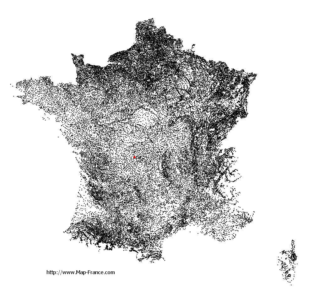
Bénévent-l'Abbaye on the relief France map in Lambert 93 coordinates
|

See the map of Bénévent-l'Abbaye in full screen (1000 x 949)
|
At left, here is the location of Bénévent-l'Abbaye on the relief France map in Lambert 93 coordinates.
Here are the altitudes of Bénévent-l'Abbaye :
- Town hall altitude of Bénévent-l'Abbaye is 480 meters
- Minimum altitude of Bénévent-l'Abbaye is 402 meters
- Maximum altitude of Bénévent-l'Abbaye is 545 meters
- Medium altitude of Bénévent-l'Abbaye is 474 meters
Here are the altitudes of Guéret, prefecture of Creuse department:
- Town hall altitude of Guéret is 431 meters
- Minimum altitude of Guéret is 350 meters
- Maximum altitude of Guéret is 685 meters
- Medium altitude of Guéret is 518 meters
Here are the altitudes of the french biggest cities:
Paris : 33 meters
Marseille : 20 meters
Lyon : 237 meters
Toulouse : 146 meters
Nice : 10 meters
Nantes : 20 meters
Strasbourg : 144 meters
Montpellier : 35 meters
Bordeaux : 16 meters
Lille : 20 meters
Rennes : 35 meters
Reims : 83 meters
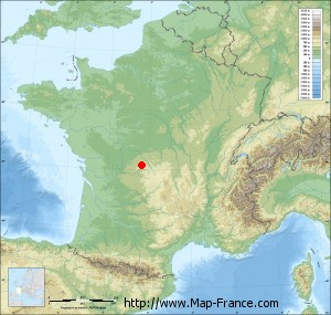
Click here for the terrain map of Bénévent-l'Abbaye in full screen:
Relief map of Bénévent-l%27Abbaye
|
This relief map of Bénévent-l'Abbaye is reusable and modifiable by making a link to this page of the Map-France.com website or by using the given code :
|
Terrain base map of Bénévent-l'Abbaye
|

See the terrain base map of Bénévent-l'Abbaye in full screen (1000 x 949)
|
Small relief base map of Bénévent-l'Abbaye
|
This base map of Bénévent-l'Abbaye is reusable and modifiable by making a link to this page of the Map-France.com website or by using the given code :
|
Map of Bénévent-l'Abbaye with regions and prefectures
|
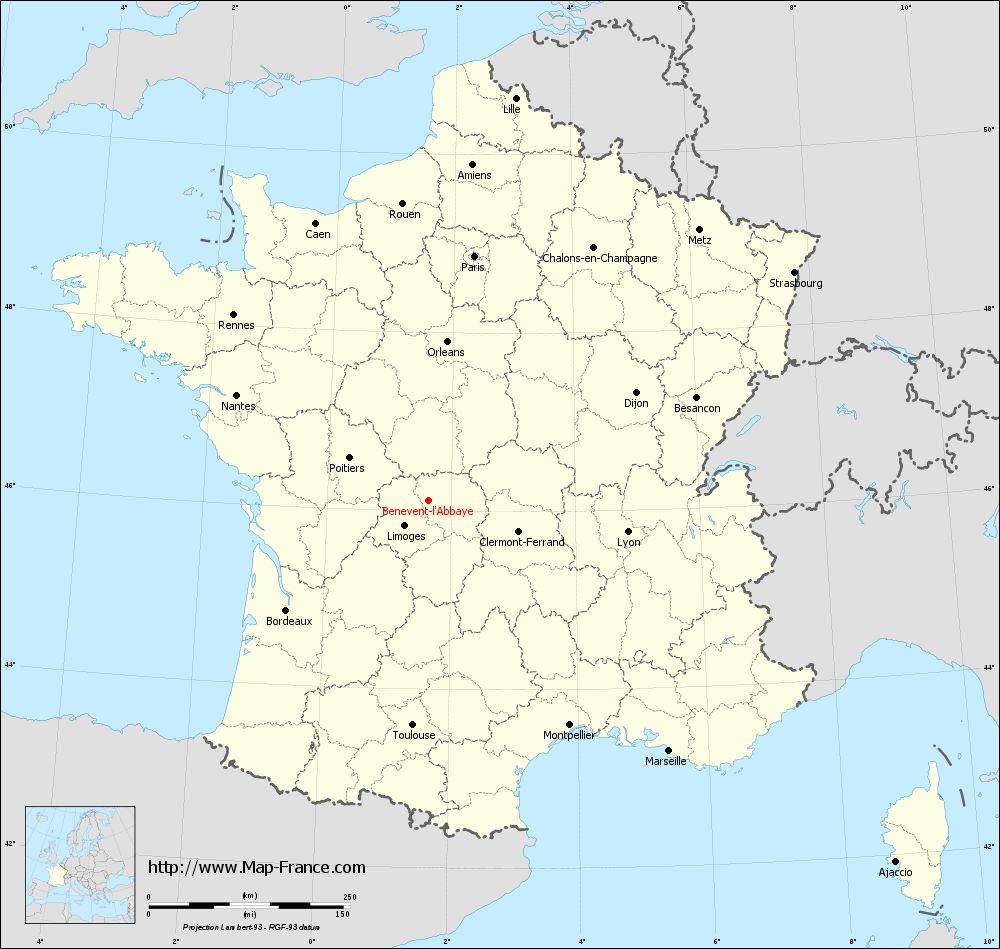
View the map of Bénévent-l'Abbaye in full screen (1000 x 949)
|
You will find the location of Bénévent-l'Abbaye on the map of France of regions in Lambert 93 coordinates. The town of Bénévent-l'Abbaye is located in the department of Creuse of the french region Limousin.
Geographical sexagesimal coordinates / GPS (WGS84):
Latitude: 46° 07' 04'' North
Longitude: 01° 37' 44'' East
Geographical decimal coordinates :
Latitude: 46.117 degrees (46.117° North)
Longitude: 1.629 degrees (1.629° East)
Lambert 93 coordinates :
X: 5 941 hectometers
Y: 65 585 hectometers
Lambert 2 coordinates :
X: 5 453 hectometers
Y: 21 244 hectometers
Below, the geographical coordinates of Guéret, prefecture of the Creuse department:
Geographical sexagesimal coordinates / GPS (WGS84):
Latitude: 46° 10' 14'' North
Longitude: 01° 52' 06'' East
Geographical decimal coordinates :
Latitude: 46.169 degrees (46.169° North)
Longitude: 1.875 degrees (1.875° East)
Lambert 93 coordinates :
X: 6 127 hectometers
Y: 65 640 hectometers
Lambert 2 coordinates :
X: 5 638 hectometers
Y: 21 301 hectometers
|
This map of Bénévent-l'Abbaye is reusable and modifiable by making a link to this page of the Map-France.com website or by using the given code :
|
Map of Bénévent-l'Abbaye with departments and prefectures
|
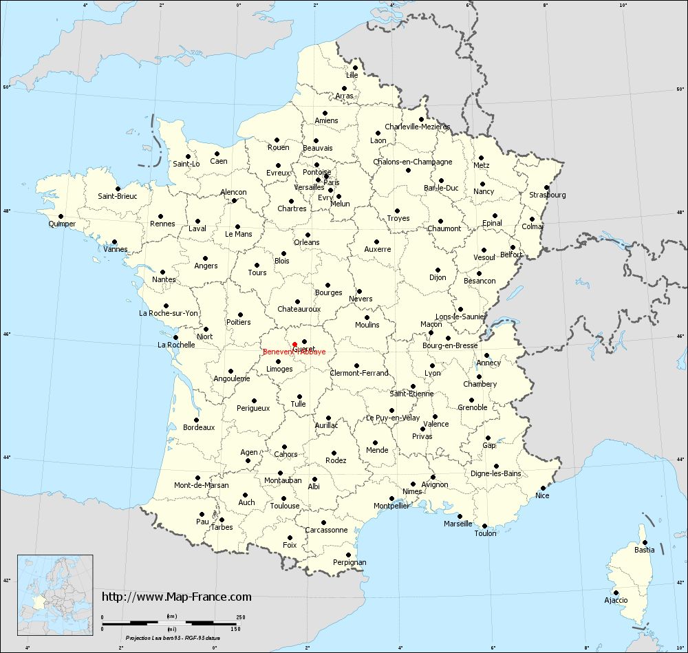
Voir la carte of Bénévent-l'Abbaye en grand format (1000 x 949)
|
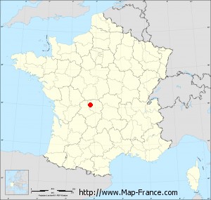
Here is the localization of Bénévent-l'Abbaye on the France map of departments in Lambert 93 coordinates. The city of Bénévent-l'Abbaye is shown on the map by a red point.
The town of Bénévent-l'Abbaye is located in the department of Creuse of the french region Limousin.
The latitude of Bénévent-l'Abbaye is 46.117 degrees North.
The longitude of Bénévent-l'Abbaye is 1.629 degrees East.
Here the distance between Bénévent-l'Abbaye and the biggest cities of France:
Distances are calculated as the crow flies (orthodromic distance)
Distance between Bénévent-l'Abbaye and Paris : 309.53 kilometers
Distance between Bénévent-l'Abbaye and Marseille : 432.08 kilometers
Distance between Bénévent-l'Abbaye and Lyon : 250.81 kilometers
Distance between Bénévent-l'Abbaye and Toulouse : 280.03 kilometers
Distance between Bénévent-l'Abbaye and Nice : 517.7 kilometers
Distance between Bénévent-l'Abbaye and Nantes : 271.81 kilometers
Distance between Bénévent-l'Abbaye and Strasbourg : 536.25 kilometers
Distance between Bénévent-l'Abbaye and Montpellier : 329.99 kilometers
Distance between Bénévent-l'Abbaye and Bordeaux : 222.54 kilometers
Distance between Bénévent-l'Abbaye and Lille : 511.93 kilometers
Distance between Bénévent-l'Abbaye and Rennes : 333.93 kilometers
Distance between Bénévent-l'Abbaye and Reims : 392.44 kilometers
Clic here to see the map of Bénévent-l'Abbaye in full screen:
Bénévent-l%27Abbaye on the map of french departments
|
This administrative map of Bénévent-l'Abbaye is reusable and modifiable by making a link to this page of the Map-France.com website or by using the given code :
|
Administrative base maps of Bénévent-l'Abbaye
|

See the administrative base map of Bénévent-l'Abbaye in full screen (1000 x 949)
|
Small administrative base map of Bénévent-l'Abbaye
|
This base map administrative of Bénévent-l'Abbaye is reusable and modifiable by making a link to this page of the Map-France.com website or by using the given code :
|
 French Version : http://www.cartesfrance.fr