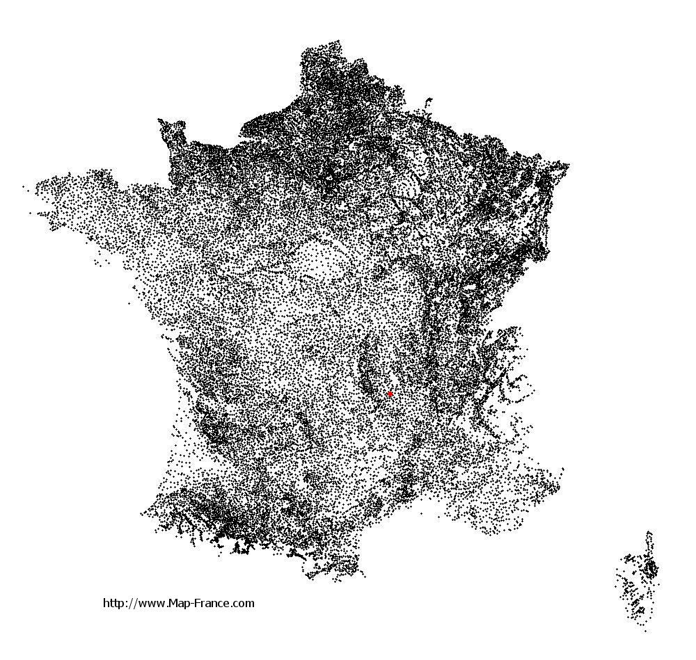
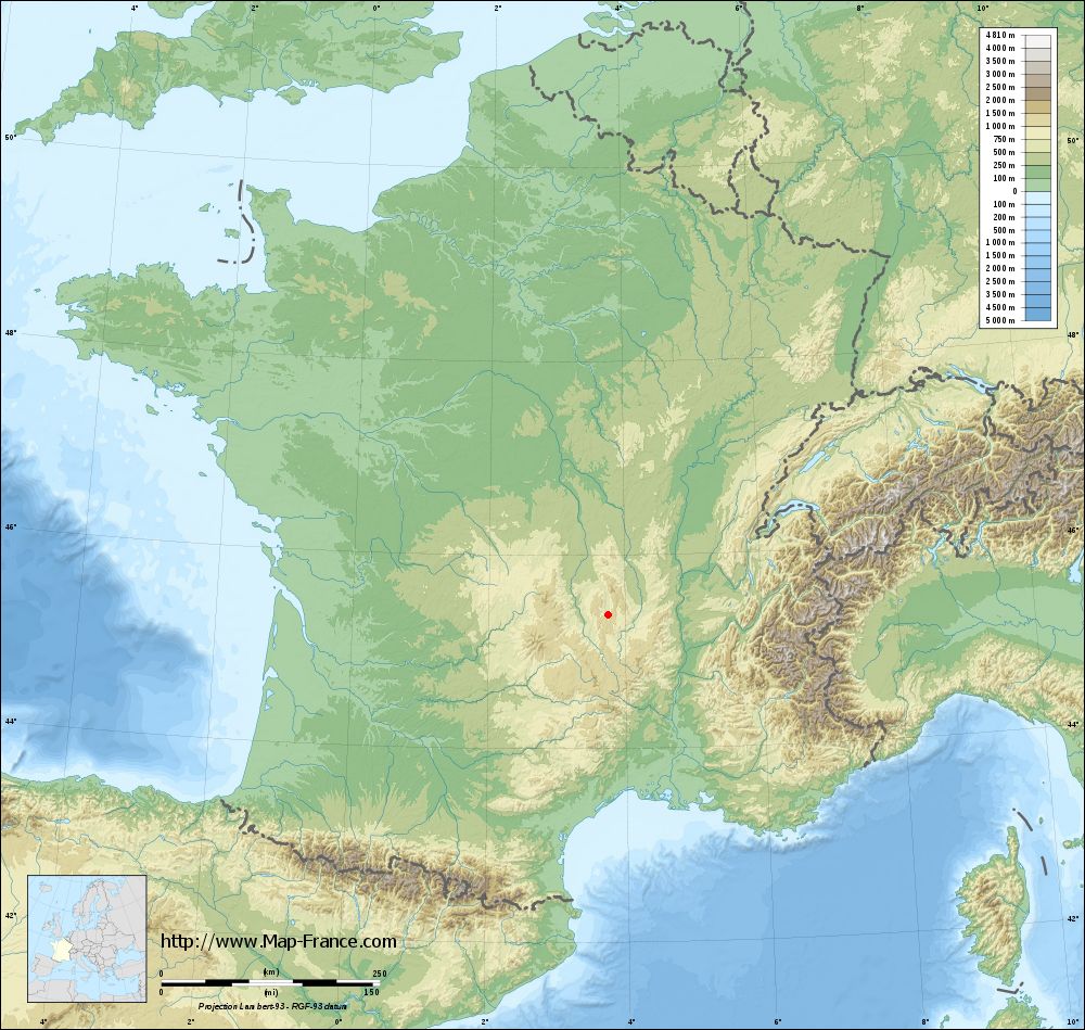
Dore-l'Église on the relief France map in Lambert 93 coordinates
|

See the map of Dore-l'Église in full screen (1000 x 949)
|
At left, here is the location of Dore-l'Église on the relief France map in Lambert 93 coordinates.
Here are the altitudes of Dore-l'Église :
- Town hall altitude of Dore-l'Église is 600 meters
- Minimum altitude of Dore-l'Église is 578 meters
- Maximum altitude of Dore-l'Église is 1 027 meters
- Medium altitude of Dore-l'Église is 803 meters
Here are the altitudes of Clermont-Ferrand, prefecture of Puy-de-Dôme department:
- Town hall altitude of Clermont-Ferrand is 365 meters
- Minimum altitude of Clermont-Ferrand is 321 meters
- Maximum altitude of Clermont-Ferrand is 602 meters
- Medium altitude of Clermont-Ferrand is 462 meters
Here are the altitudes of the french biggest cities:
Paris : 33 meters
Marseille : 20 meters
Lyon : 237 meters
Toulouse : 146 meters
Nice : 10 meters
Nantes : 20 meters
Strasbourg : 144 meters
Montpellier : 35 meters
Bordeaux : 16 meters
Lille : 20 meters
Rennes : 35 meters
Reims : 83 meters
Click here for the terrain map of Dore-l'Église in full screen:
Relief map of Dore-l%27Église
|
This relief map of Dore-l'Église is reusable and modifiable by making a link to this page of the Map-France.com website or by using the given code :
|
Terrain base map of Dore-l'Église
|
See the terrain base map of Dore-l'Église in full screen (1000 x 949)
|
Small relief base map of Dore-l'Église

|
This base map of Dore-l'Église is reusable and modifiable by making a link to this page of the Map-France.com website or by using the given code :
|
Map of Dore-l'Église with regions and prefectures
|
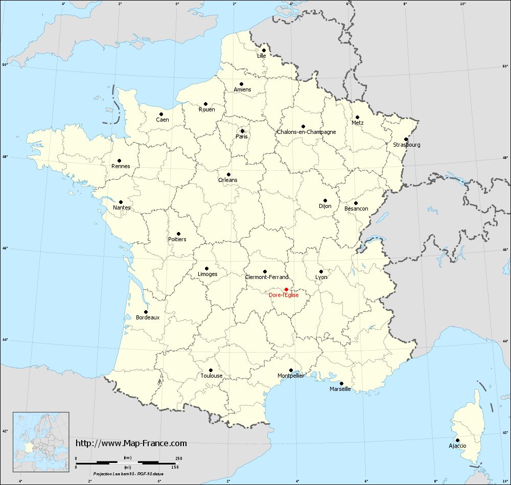
View the map of Dore-l'Église in full screen (1000 x 949)
|
You will find the location of Dore-l'Église on the map of France of regions in Lambert 93 coordinates. The town of Dore-l'Église is located in the department of Puy-de-Dôme of the french region Auvergne.
Geographical sexagesimal coordinates / GPS (WGS84):
Latitude: 45° 22' 59'' North
Longitude: 03° 45' 04'' East
Geographical decimal coordinates :
Latitude: 45.382 degrees (45.382° North)
Longitude: 3.751 degrees (3.751° East)
Lambert 93 coordinates :
X: 7 588 hectometers
Y: 64 763 hectometers
Lambert 2 coordinates :
X: 7 108 hectometers
Y: 20 435 hectometers
Below, the geographical coordinates of Clermont-Ferrand, prefecture of the Puy-de-Dôme department:
Geographical sexagesimal coordinates / GPS (WGS84):
Latitude: 45° 46' 47'' North
Longitude: 03° 05' 13'' East
Geographical decimal coordinates :
Latitude: 45.779 degrees (45.779° North)
Longitude: 3.085 degrees (3.085° East)
Lambert 93 coordinates :
X: 7 067 hectometers
Y: 65 200 hectometers
Lambert 2 coordinates :
X: 6 584 hectometers
Y: 20 869 hectometers
|
This map of Dore-l'Église is reusable and modifiable by making a link to this page of the Map-France.com website or by using the given code :
|
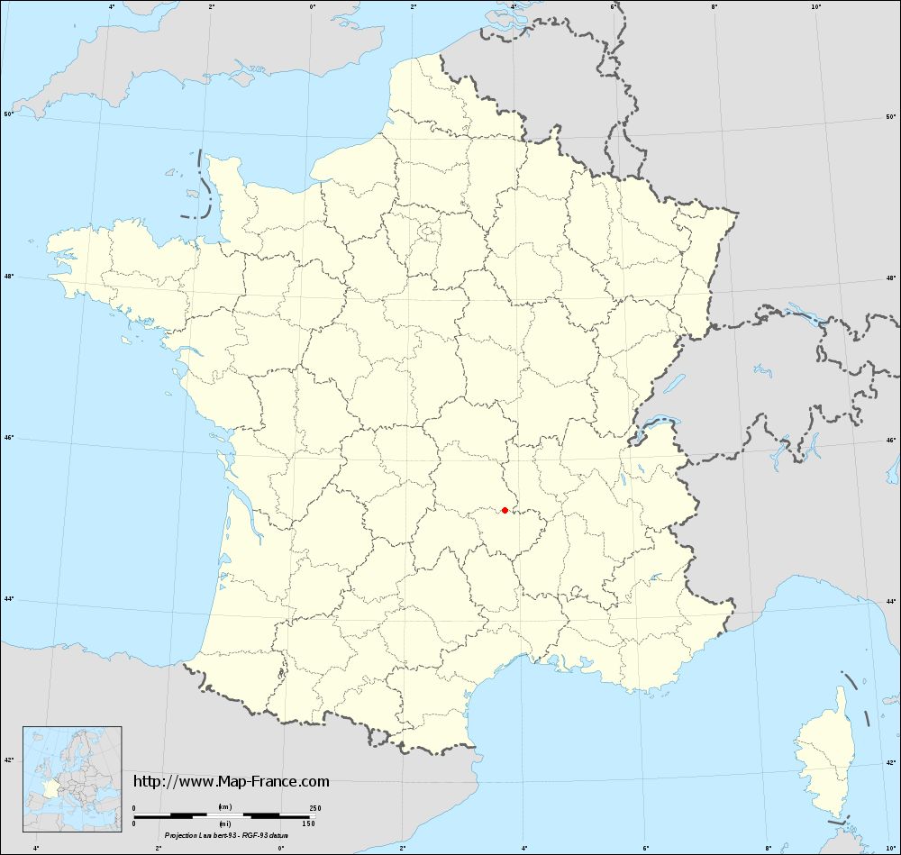
Map of Dore-l'Église with departments and prefectures
|
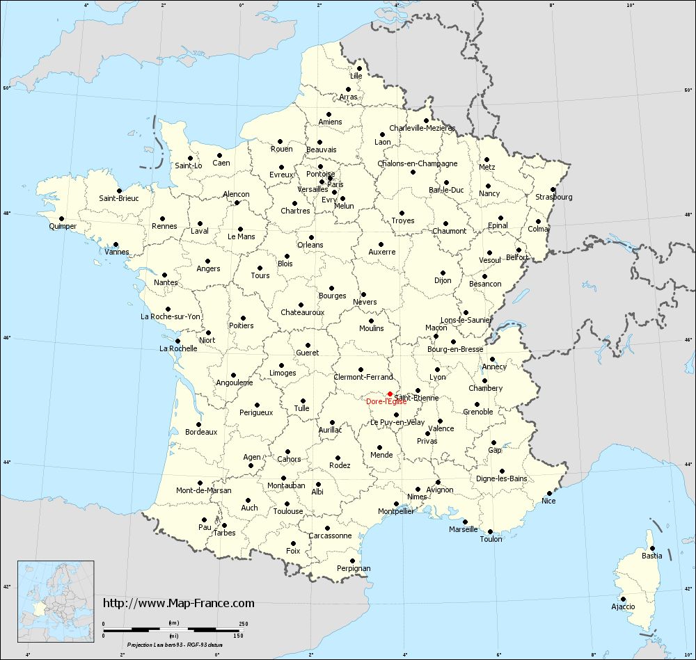
Voir la carte of Dore-l'Église en grand format (1000 x 949)
|
Here is the localization of Dore-l'Église on the France map of departments in Lambert 93 coordinates. The city of Dore-l'Église is shown on the map by a red point.
The town of Dore-l'Église is located in the department of Puy-de-Dôme of the french region Auvergne.
The latitude of Dore-l'Église is 45.382 degrees North.
The longitude of Dore-l'Église is 3.751 degrees East.
Here the distance between Dore-l'Église and the biggest cities of France:
Distances are calculated as the crow flies (orthodromic distance)
Distance between Dore-l'Église and Paris : 400.8 kilometers
Distance between Dore-l'Église and Marseille : 266.09 kilometers
Distance between Dore-l'Église and Lyon : 94.16 kilometers
Distance between Dore-l'Église and Toulouse : 269.15 kilometers
Distance between Dore-l'Église and Nice : 334.61 kilometers
Distance between Dore-l'Église and Nantes : 455.34 kilometers
Distance between Dore-l'Église and Strasbourg : 467.56 kilometers
Distance between Dore-l'Église and Montpellier : 197.27 kilometers
Distance between Dore-l'Église and Bordeaux : 344.39 kilometers
Distance between Dore-l'Église and Lille : 585.2 kilometers
Distance between Dore-l'Église and Rennes : 512.33 kilometers
Distance between Dore-l'Église and Reims : 431.15 kilometers
Clic here to see the map of Dore-l'Église in full screen:
Dore-l%27Église on the map of french departments
|
This administrative map of Dore-l'Église is reusable and modifiable by making a link to this page of the Map-France.com website or by using the given code :
|
Administrative base maps of Dore-l'Église
|
See the administrative base map of Dore-l'Église in full screen (1000 x 949)
|
Small administrative base map of Dore-l'Église
|
This base map administrative of Dore-l'Église is reusable and modifiable by making a link to this page of the Map-France.com website or by using the given code :
|
 French Version : http://www.cartesfrance.fr