|
The village of L'Albère is a small village located south of France. The town of L'Albère is located in the department of Pyrénées-Orientales of the french region Languedoc-Roussillon. The town of L'Albère is located in the township of Céret part of the district of Céret. The area code for L'Albère is 66001 (also known as code INSEE), and the L'Albère zip code is 66480.
Geography and map of L'Albère :
The altitude of the city hall of L'Albère is approximately 540 meters. The L'Albère surface is 17.10 km ². The latitude and longitude of L'Albère are 42.483 degrees North and 2.893 degrees East.
Nearby cities and towns of L'Albère are :
Le Perthus (66480) at 3.06 km, Les Cluses (66480) at 3.93 km, Montesquieu-des-Albères (66740) at 4.01 km, Villelongue-dels-Monts (66740) at 4.96 km, Laroque-des-Albères (66740) at 5.50 km, Le Boulou (66160) at 6.82 km, Maureillas-las-Illas (66480) at 7.08 km, Saint-Génis-des-Fontaines (66740) at 7.16 km.
(The distances to these nearby towns of L'Albère are calculated as the crow flies)
Population and housing of L'Albère :
The population of L'Albère was 69 in 1999, 69 in 2006 and 74 in 2007. The population density of L'Albère is 4.33 inhabitants per km². The number of housing of L'Albère was 40 in 2007. These homes of L'Albère consist of 26 main residences, 13 second or occasional homes and 1 vacant homes. |
|
|
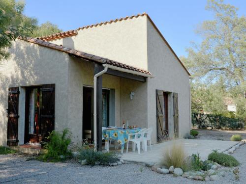
Hotel L'Albère
|
|
|
Book now ! Best Price Guaranteed, no booking fees, pay at the hotel with our partner Booking.com, leader in online hotel reservation.
Find all hotels of L'Albère : Hotel L'Albère
| |
|
Bed and Breakfast : Chez Grand Mere
Chez Grand Mere is set in Le Perthus. Complimentary WiFi is featured. There is a fully equipped private bathroom with shower and free toiletries. A continental breakfast is se...
Rate : from 63.00 €
to 115.00 €
Address : CHEZ GRAND MERE 5 rue de la redoute 66480 Le Perthus
Distance Bed and Breakfast - L'Albère : 3.14 km
|
|
|
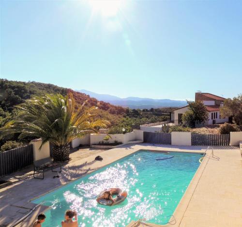
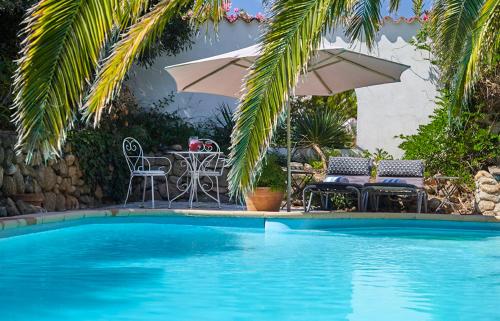
Guest accommodation : Allee de L'Ouillat
Set in Laroque-des-Albères in the Languedoc-Roussillon region, Allee de L'Ouillat has a terrace and sea views. Guests are welcome to go for a swim in year-round outdoor pool and...
Contact : Domaine des Alberes 3 Allee de Ouillat 66740 Laroque-des-Albères
Distance Guest accommodation - L'Albère : 3.61 km
|
|
|
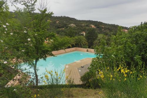
Guest accommodation : Entre Méditerranée et Les Albères
Entre Méditerranée et Les Albères is situated in Montesquieu and offers a seasonal outdoor swimming pool. The property features mountain views and is 32 km from Perpignan. The ...
Contact : 4 RUE DU MURIER 66740 Montesquieu
Distance Guest accommodation - L'Albère : 3.85 km
|
|
|
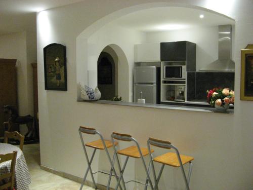
Guest accommodation : Mas Les Romarins

Situated in Montesquieu in the Languedoc-Roussillon region, Mas Les Romarins is a 4-star property boasting free WiFi. This holiday home has a garden. This holiday home is fitte...
Contact : 15 rue Correc Serve 66740 Montesquieu
Distance Guest accommodation - L'Albère : 4.50 km
|
|
|
Guest accommodation : Maison entre mer et montagnes.
Set in Montesquieu, Maison entre mer et montagnes. Features accommodation with a terrace and free WiFi. Guests staying at this holiday home have access to a fully equipped kitch...
Address : 14, rue du correc servé 66740 Montesquieu
Distance Guest accommodation - L'Albère : 4.58 km
|
|

|
Hotel : Le Relais Des Chartreuses
Hotel Relais des Chartreuses is set in a 17th-century Catalan farmhouse converted into a 3-star hotel, just 3 km from A9 Motorway access and 20 km from the beach. It offers a wa...
Contact : 106 Avenue d'en Carbouner 66160 Le Boulou
Distance Hotel - L'Albère : 4.66 km
|
|
|
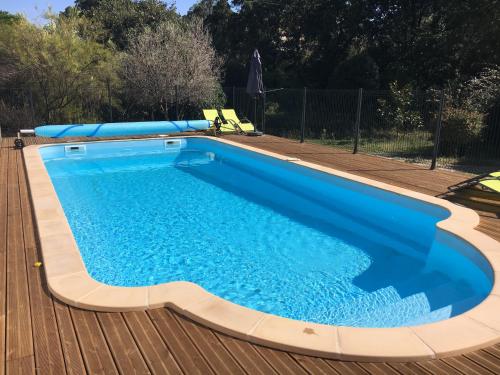
Guest accommodation : Residence La Source
Featuring an outdoor pool, Residence La Source is a semi-detached holiday home located in Le Boulou in the Languedoc-Roussillon Region and is 38 km from Roses. Guests can benefi...
Contact : 143 avenue d'en carbouner 66160 Le Boulou
Distance Guest accommodation - L'Albère : 4.67 km
|
|
|
Apartment : Les Mimosas Apartments
Offering free WiFi, Les Mimosas Apartments is set in the village of Villelongue-dels-Monts, a 25-minute drive from the Spanish border. Each apartment has access to a shared gard...
Contact : Mimosa1 18 Ruta De La Roca 66740 Villelongue-dels-Monts
Distance Apartment - L'Albère : 4.83 km
|
|
|
Guest accommodation : Holiday home La Maison Mer Et Thermes
Holiday home La Maison Mer Et Thermes, a property with water sports facilities, is located in Le Boulou, 4 km from Le Boulou Joa Casino. Guests staying at this villa have access...
Address : 66160 Le Boulou
Distance Guest accommodation - L'Albère : 4.91 km
|
|
|
Guest accommodation : Gîte Oleander
Featuring barbecue facilities, Gîte Oleander offers accommodation in Laroque-des-Albères with free WiFi and mountain views. This holiday home also has a private pool. The holid...
Contact : 38 Avenue du Vallespir 66760 Laroque-des-Albères
Distance Guest accommodation - L'Albère : 5.52 km
|
|
Find another hotel near L'Albère : L'Albère hotels list
|
Map of L'Albère
|
|
Map of L'Albère :
At right you can find the localization of L'Albère on the map of France. Below, this is the satellite map of L'Albère. A road map, and maps templates of L'Albère are available here : "road map of L'Albère". This map show L'Albère seen by the satellite of Google Map. To see the streets of L'Albère or move on another zone, use the buttons "zoom" and "map" on top of this dynamic map.
Search on the map of L'Albère :
To search hotels, housings, tourist information office, administrations or other services, use the Google search integrated to the map on the following page : "map L'Albère".
Hotels of L'Albère are listed on the map with the following icons: 
The map of L'Albère is centred in the following coordinates :
|

|
|
|
|
Print the map of L'Albère

Print the map of L'Albère : map of L'Albère
|
Photos L'Albère
|
See all photos of L'Albère :
Other photos of L'Albère and nearby towns can be found here: photos L'Albère
|
|
L'Albère weather forecast
Find next hours and 7 days weather forecast for L'Albère here : weather L'Albère (with english metrics)
This is the last weather forecast for L'Albère collected by the nearest observation station of Céret.
Week Forecast:
The latest weather data for L'Albère were collected Tuesday, 30 June 2026 at 19:05 from the nearest observation station of Céret.
| Tuesday, June 30th |
34°C 20°C
34%
15%
|
Mostly clear
Temperature Max: 34°C Temperature Min: 20°C
Precipitation Probability: 34%
Percentage of sky occluded by clouds: 15%
Wind speed: 12 km/h South
Humidity: 46%° UV Index: 9
Sunrise: 06:15 Sunset: 21:30 |
|
| | Wednesday, July 1st |
29°C 20°C
31%
33%
|
Mostly clear
Temperature Max: 29°C Temperature Min: 20°C
Precipitation Probability: 31%
Percentage of sky occluded by clouds: 33%
Wind speed: 19 km/h South
Humidity: 49%° UV Index: 8
Sunrise: 06:15 Sunset: 21:30 |
|
| | Thursday, July 2nd |
31°C 19°C
0%
2%
|
Windy
Temperature Max: 31°C Temperature Min: 19°C
Precipitation Probability: 0%
Percentage of sky occluded by clouds: 2%
Wind speed: 28 km/h South-East
Humidity: 39%° UV Index: 10
Sunrise: 06:16 Sunset: 21:30 |
|
| | Friday, July 3rd |
31°C 21°C
0%
2%
|
Windy
Temperature Max: 31°C Temperature Min: 21°C
Precipitation Probability: 0%
Percentage of sky occluded by clouds: 2%
Wind speed: 26 km/h South
Humidity: 44%° UV Index: 9
Sunrise: 06:16 Sunset: 21:29 |
|
|
Attribution: 
|
|
Other maps, hotels and towns in france
Find another town, zip code, department, region, ...
Quick links L'Albère :
Make a link to this page of L'Albère with the following code :
|
|
|
 French Version : http://www.cartesfrance.fr/carte-france-ville/66001_L'Albere.html